![]()


This walk: 2010-2-3. A misty walk to see Gutter Tor, army lorries, rock basin, four vermin traps, newly-found unfinished stone cross, nearby abandoned apple-crusher, rabbit buries (pillow mounds), Ditsworthy Warren House with many features incl. dog kennels and ferret cage, River Plym, weir head for the Bottle Hill Mine leat or Lee Moor leat to the Big Pond, Ware's Garden, Drizzlecombe stone rows, Scout Hut.
This page could be read in conjunction with a (similarly misty) walk to the same area two weeks earlier, HERE. Another walk in the area can be seen here - with blue sky!
Walk details below - Information about the route etc.
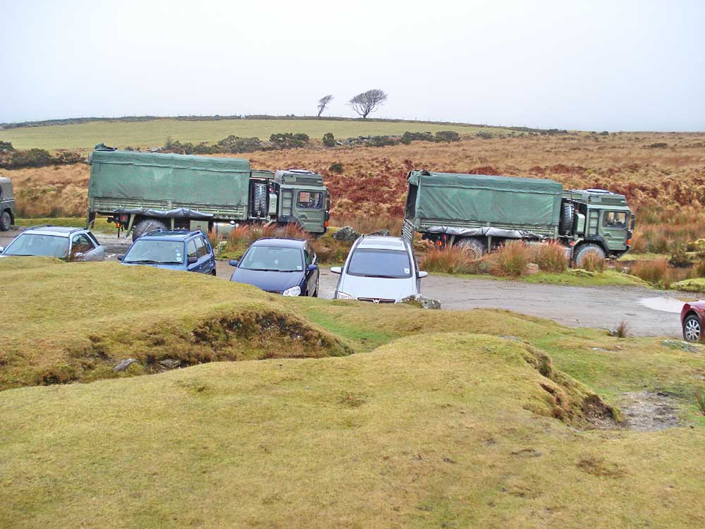
Sharing the car park with army lorries and Royal Marines personnel.
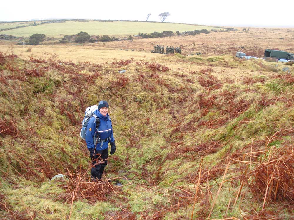
Investigating a china clay trial pit near the Scout Hut - there's Marines behind you!
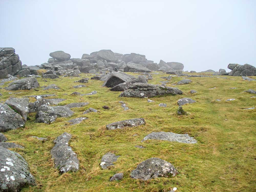
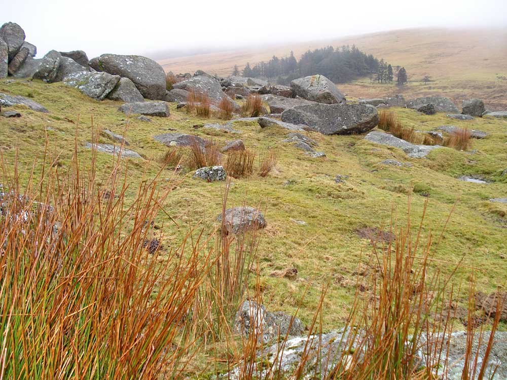
Gutter Tor (also known as Gotterknap Tor, Gotetorre & Cut Tor) - 1st rock pile .....
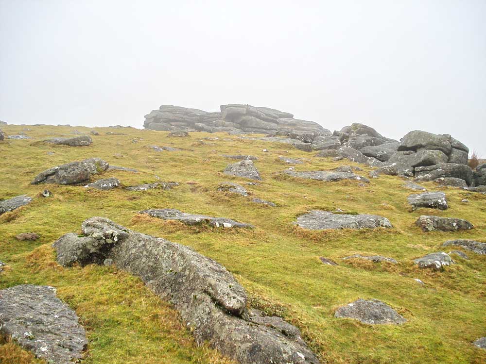
..... Gutter Tor, 2nd rock pile.
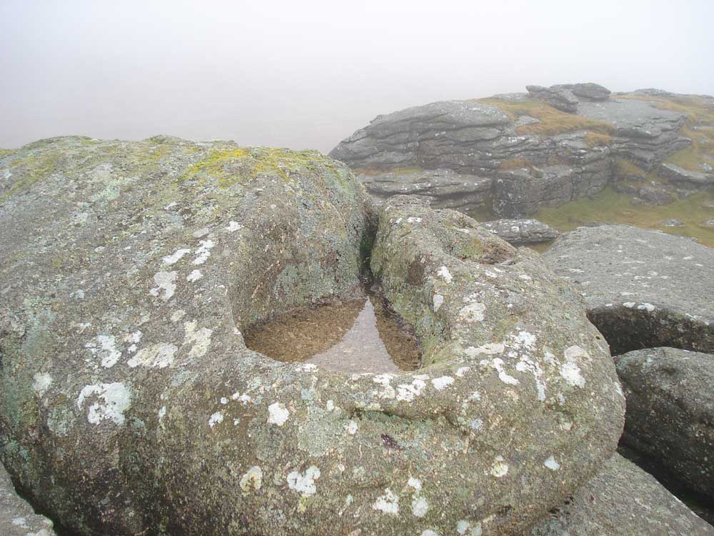
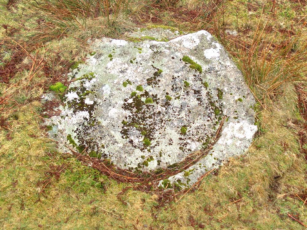
Weather-worn rock basin in a third rock pile at SX 57775 66880 � 4 metres .....
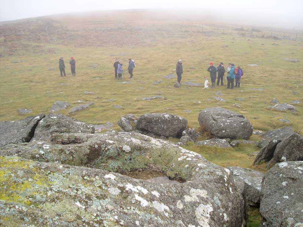
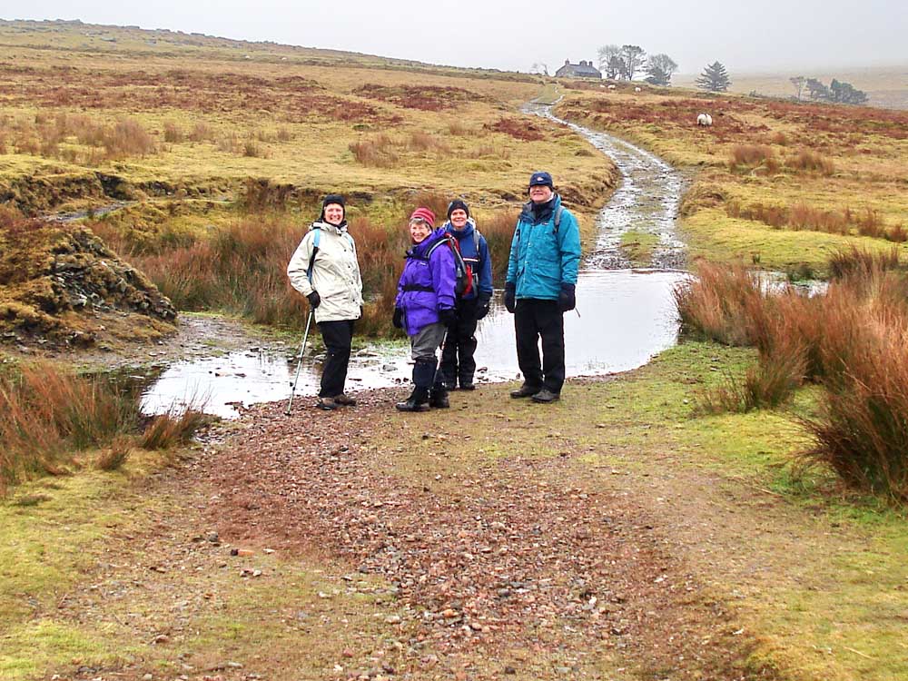
..... another view with Moor Strollers below.
Demonstrating a vermin trap on top of Gutter Tor, at SX 57820 66836 � 4 metres (Trap 1 on the map). The Legendary Dartmoor web page about warrening has information about vermin traps, click here .....
..... showing the Vee-shaped walls of the trap that guided stoats etc. into the trap.
A view towards the Scout Hut from the vermin trap.
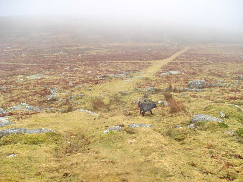
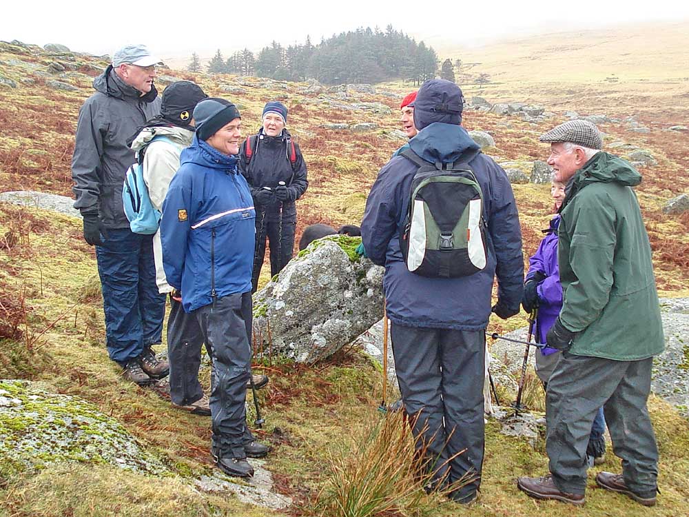
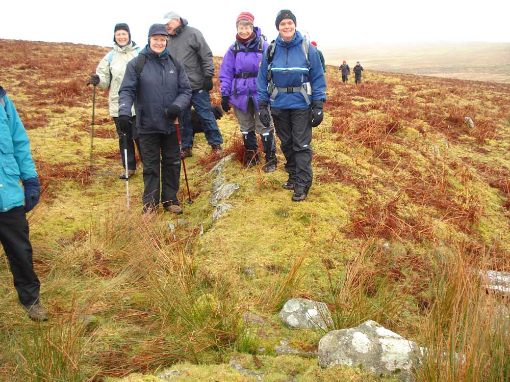
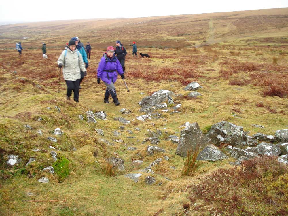
Looking down the track from Gutter Tor towards Ditsworthy Warren House, with Daisy in view (the rocks are possibly the funnel walls of a vermin trap). The newly found cross is just to the left of the rocks on the track before the junction with another track to the left .....
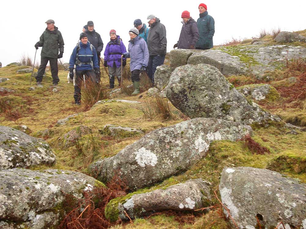
Moor Strollers on pilgrimage to the cross .....
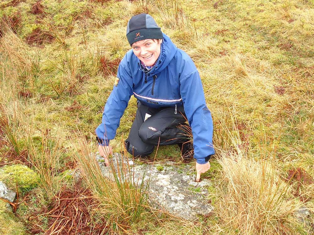
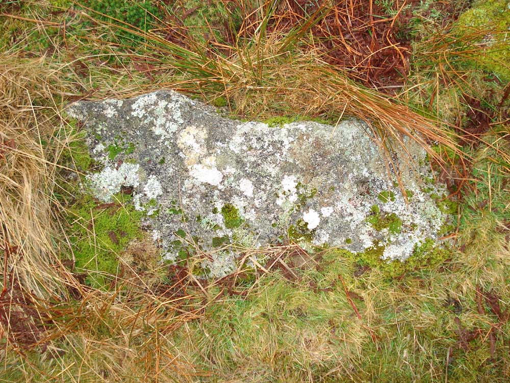
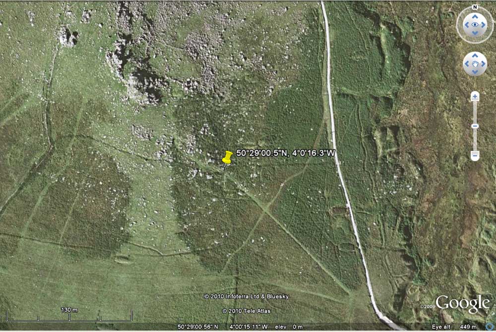
The recently found unfinished (abandoned?) stone cross, at SX 57884 66772 � 4 metres. The Legendary Dartmoor web site has a page devoted to the cross here. It also links to a BBC web page: Final day reveals cross surprise. To see a Google Earth aerial view of the location, click here .....
Another view, with Scout Hut trees in the background ..... if you are looking for the cross, note the large boulder at top-left .....
Beside the track, near the cross, is an abandoned apple crusher .....
..... presumably it was left here because it was broken during the making .....

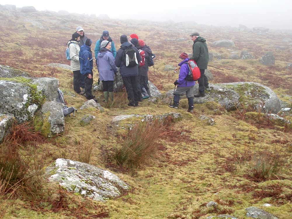
This view is looking across the track. The apple crusher is in the centre of the photo and the cross is just beyond (surrounded by people). The line of rocks across the track are likely to be the funnel walls of a vermin trap.
Just across the track are the remains of an old building, down the track is the track mentioned earlier off to the left, seen in the Google Earth view linked above.
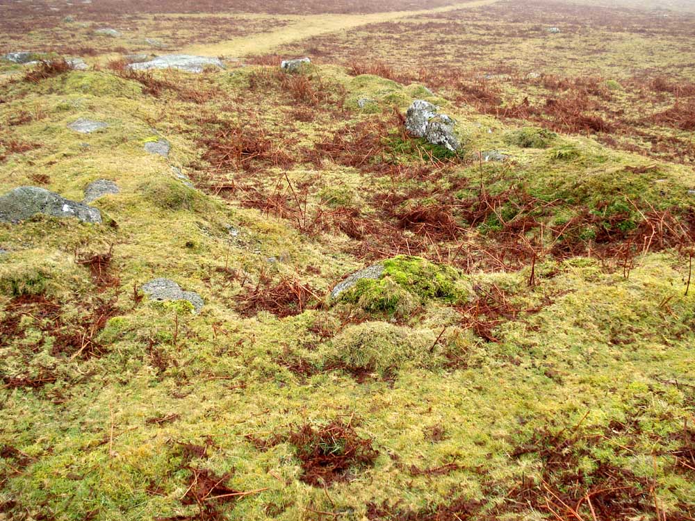
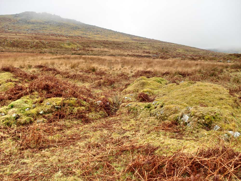
A rabbit bury (pillow mound) on the sky line.
Vermin trap no. 2 at the bottom of the photo, at SX 57819 66495 .....
 |
 |
|
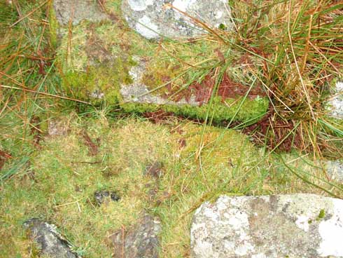
Two photos of the vermin trap that would almost join together, but not quite! An important feature is the vertical grooves in which the sliding plates fell when the trap was operated by a stoat standing on a pressure plate. |
|
 7
7
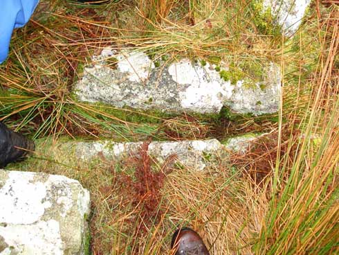
Demonstrating holes in the adjacent cover stone from the vermin trap through which the falling slides would be guided, connected etc .....
Top view of the cover stone.
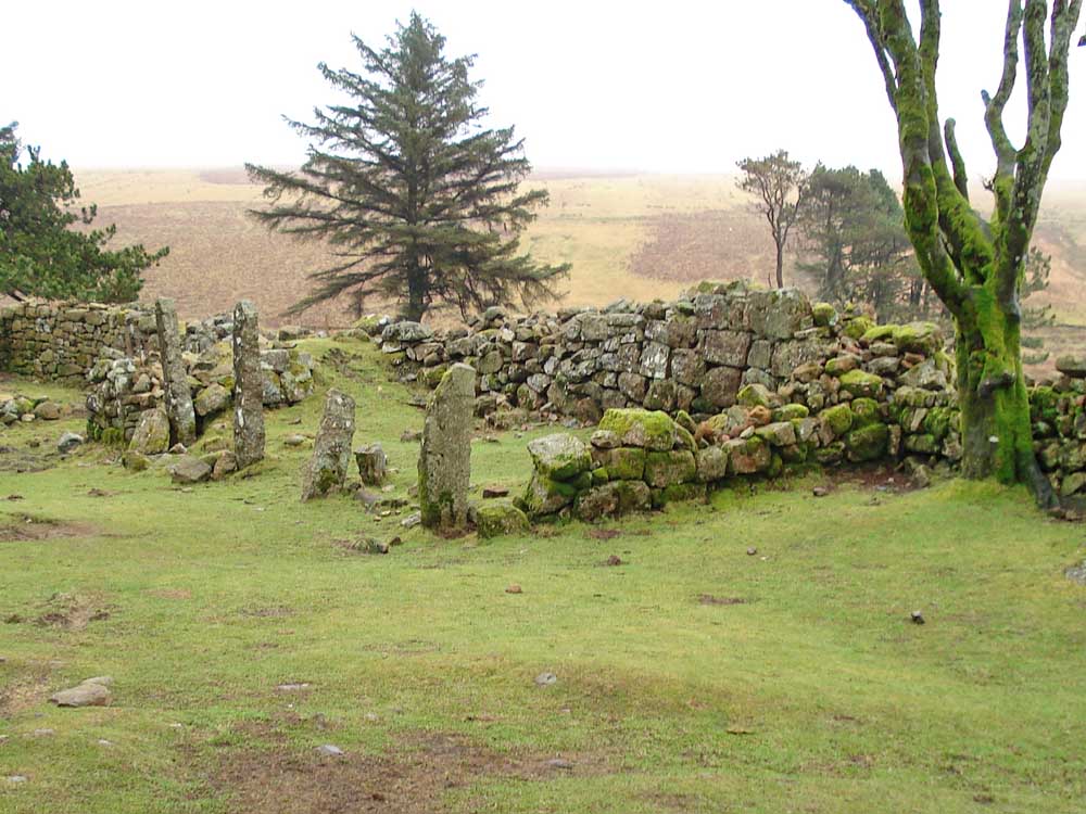
On the track to Ditsworthy Warren House (behind).
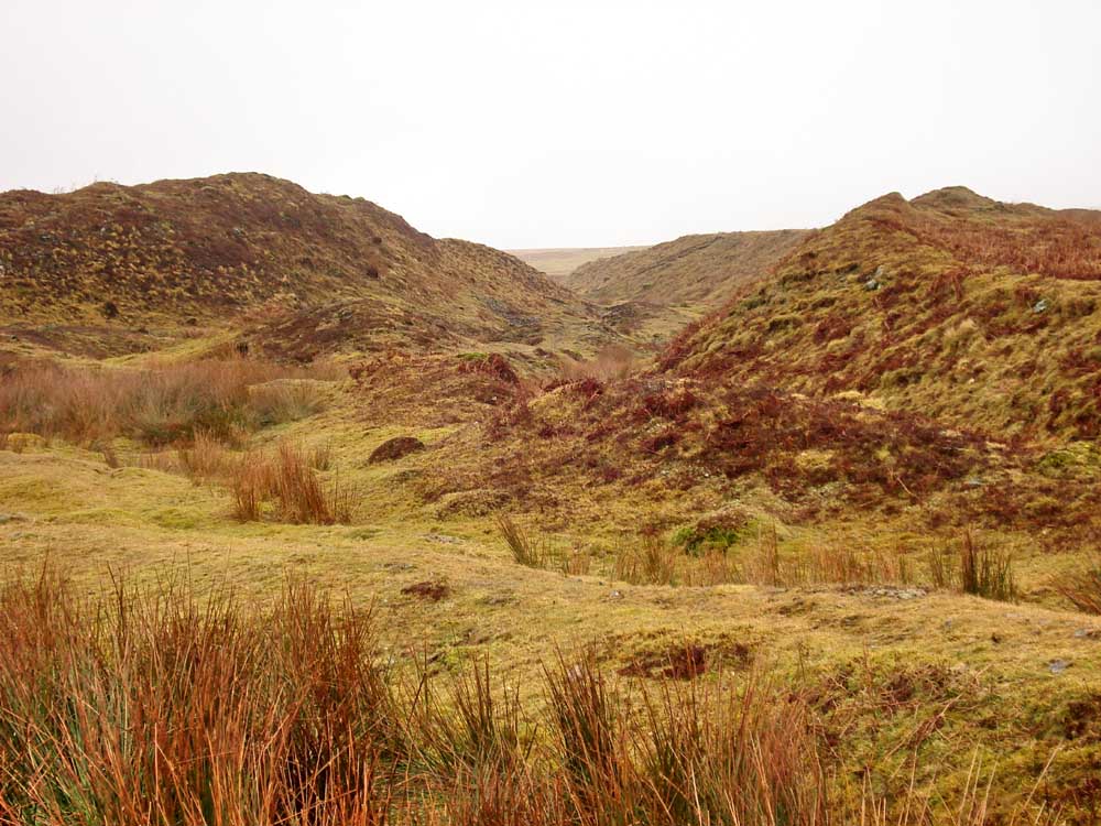
Looking into Gutter Tor Gert / Ditsworthy Gert (old tin workings)
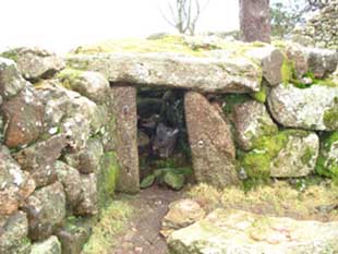
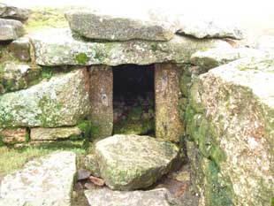
Blurred photo of vermin trap no. 3, at SX 57817 66498 (better photo here, half-way down the page), showing just the ruined vee-shaped funnel walls to guide vermin in.
Rabbit bury (pillow mound) in foreground with the River Plym beyond, close to Ditswworthy Warren House.
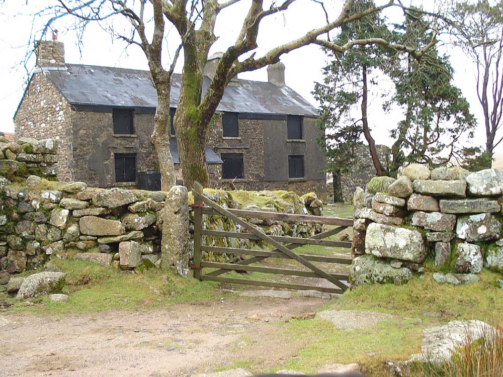
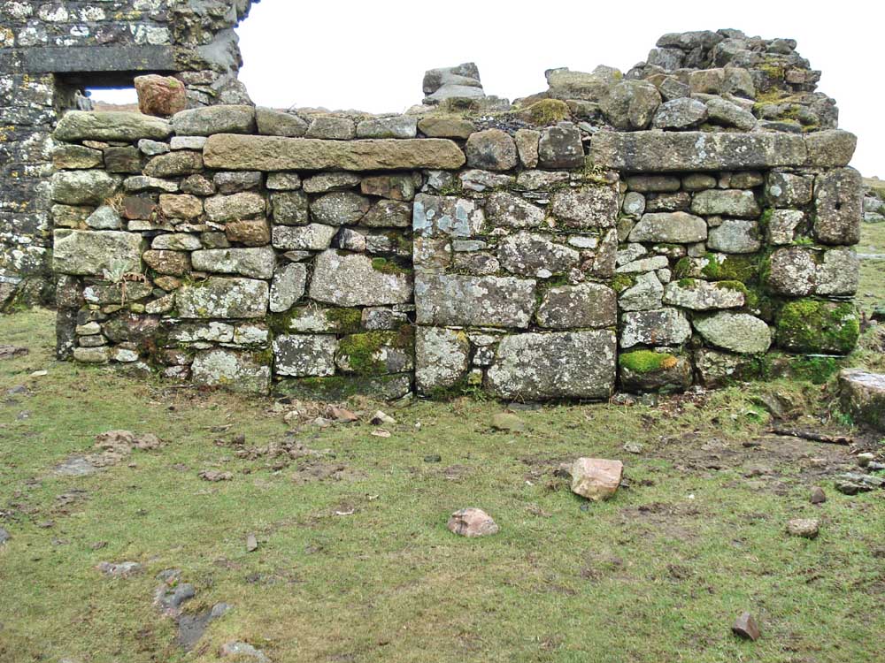
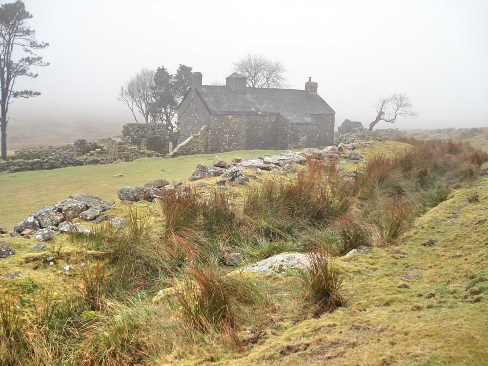
Ditswworthy Warren House. From Dartmoor & West Devon Accommodation: "Ditsworthy Warren was once the largest commercial rabbit warren on Dartmoor, at one time taking up nearly 1,100 acres. Rabbit farming was banned in the 1950's, but the remains of Ditsworthy Warren House, built in the sixteenth century, can still be seen" .....
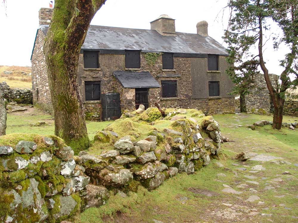
..... another view .....
..... a ruin in the garden .....
..... the Big Shed, used as a paunching house - for gutting and skinning .....
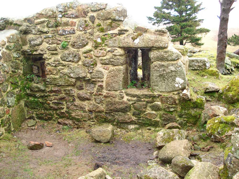
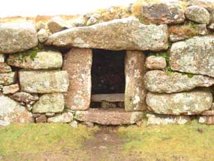
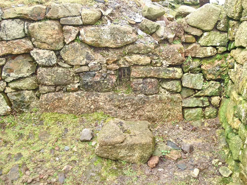
..... another building, with slit windows, this was Medieval longhouse that preceded the modern building .....
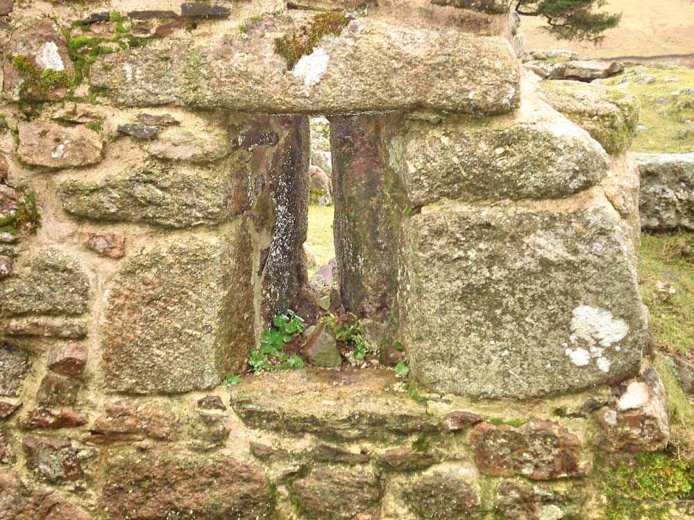
..... looking through a slit window .....
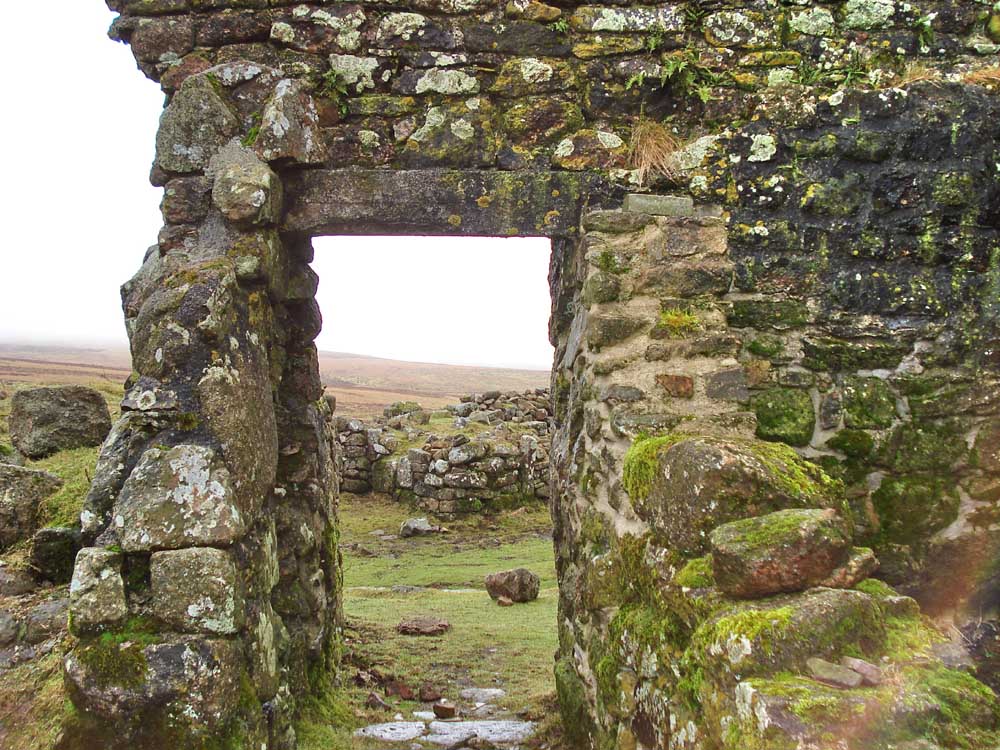
..... a doorway with a good lintel .....
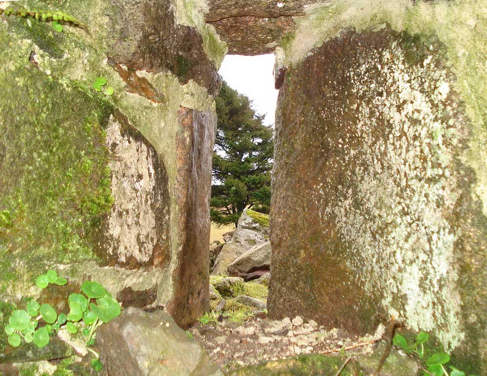
..... looking through another slit window .....
 |
 |
 |
..... three dog kennels built into the wall of the back garden .....
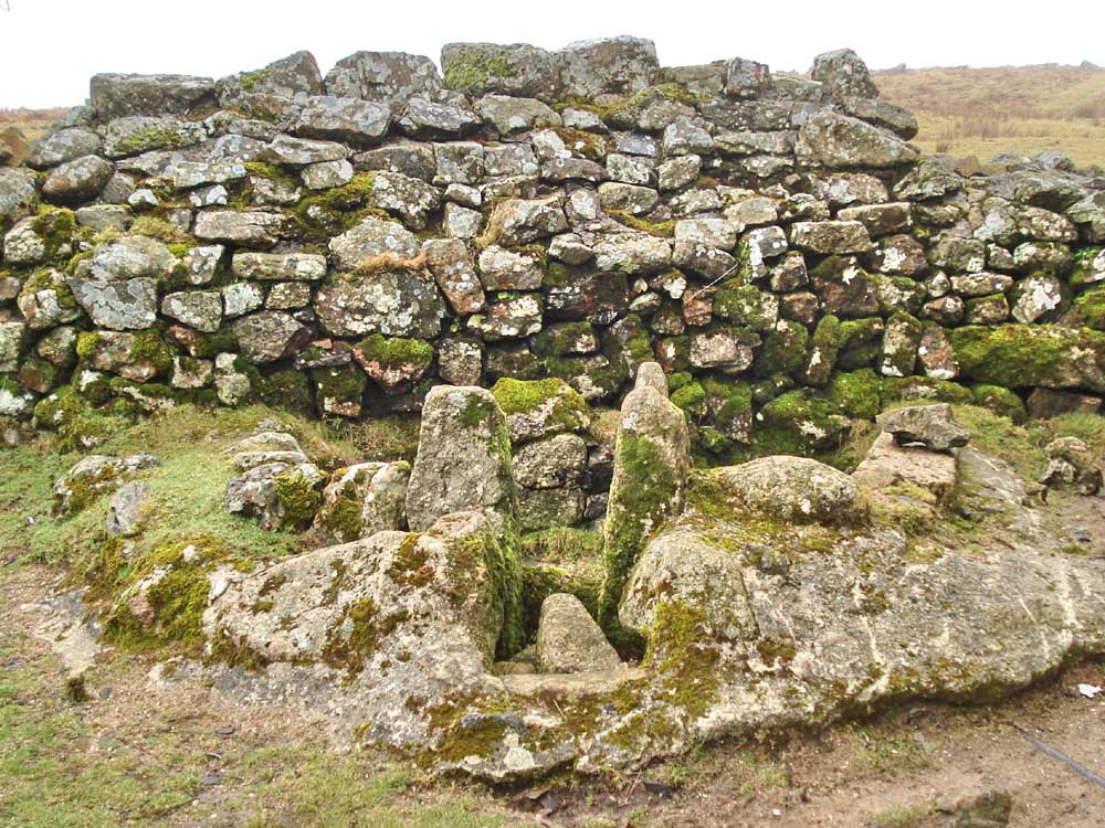
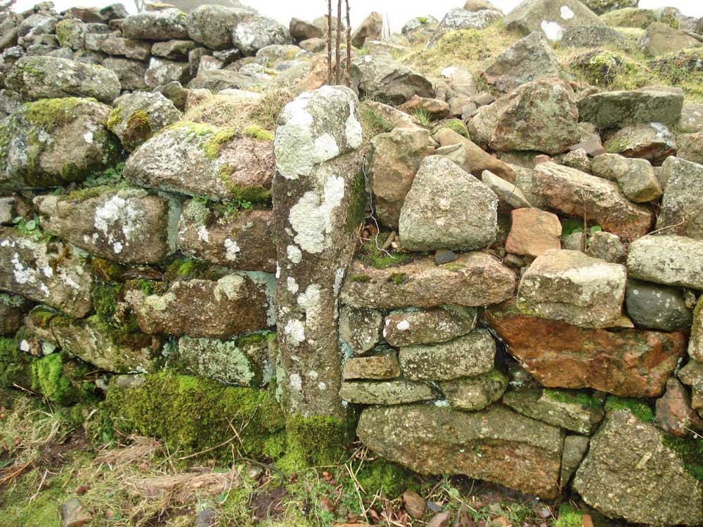
..... a building known as The Trough, Water from a branch of the leat ran into it from behind (now blocked). The grooved stones would have held a sluice-type mechanism. A pipe leads from the trough and probably conveyed water into the kitchen where it flowed directly onto a stone slab. The building has unusually slotted entrance posts (nearest camera, see next photo) .....
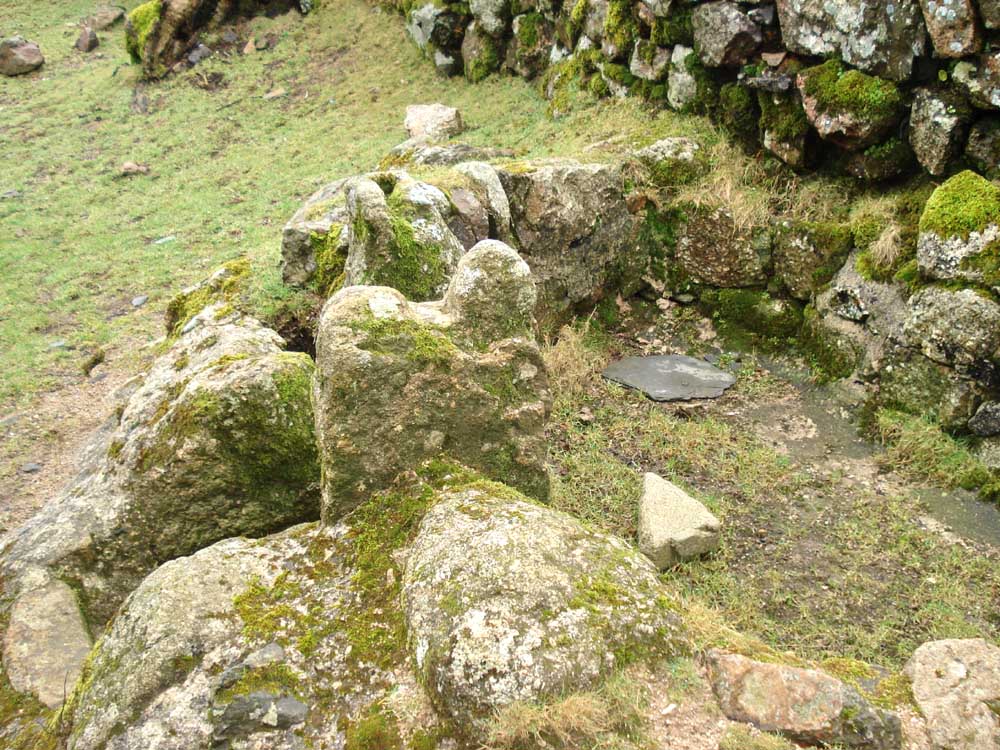
..... side view of the slots in the top of the entrance uprights .....
..... a ferret cage, discovered recently when the DPA were doing some restoration work .....
..... ferret cage .....
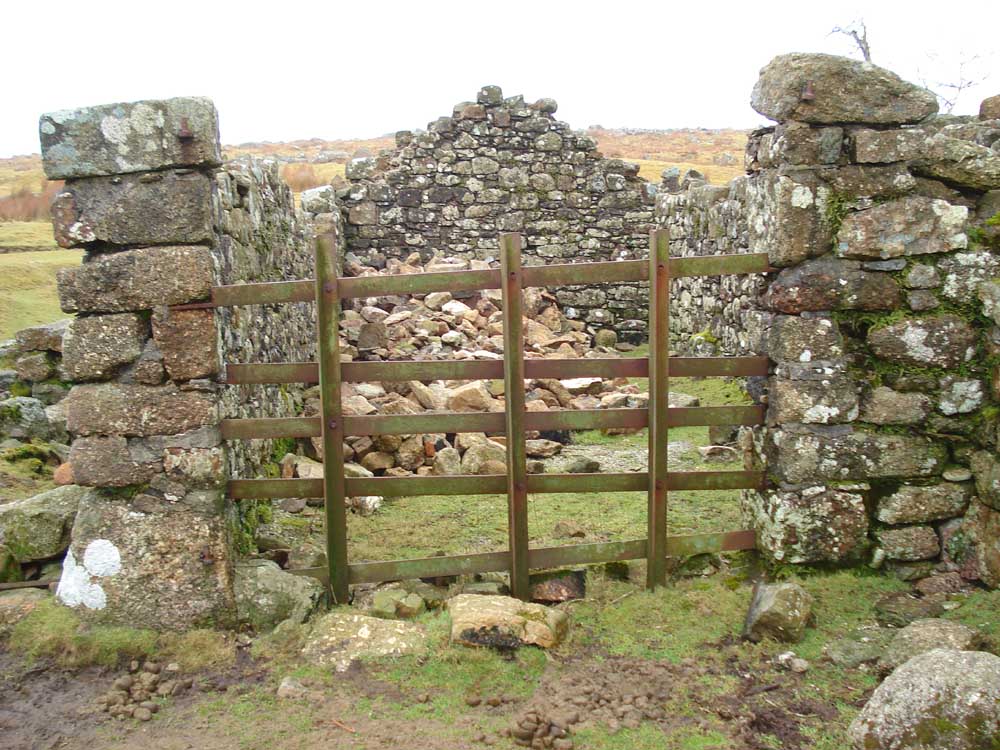
..... blocked doorways, note the lintels (these must have been low doors) ......
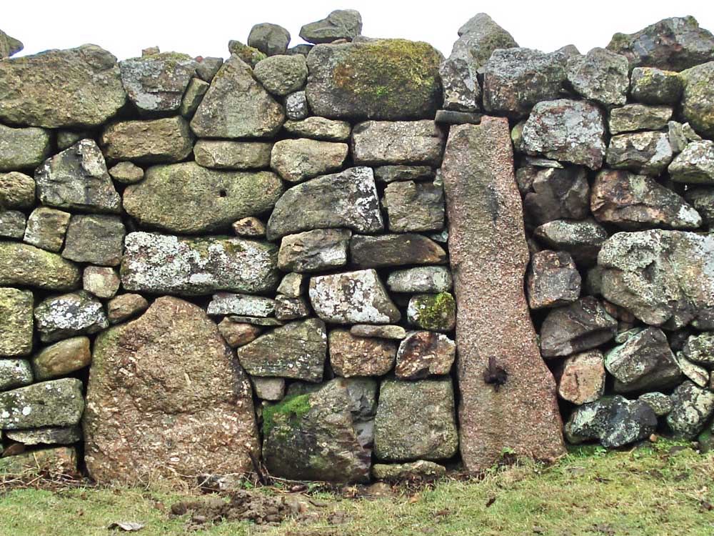
..... another blocked entrance, note the iron gate-hanger .....
..... part of a vermin trap used in later construction, note the groove near the top right of the stone (as it is now positioned) .....
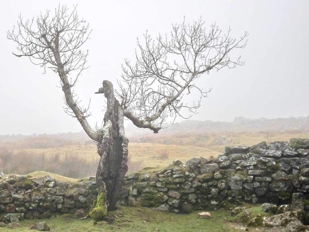
..... what sort of tree is this - a "ghostie ghoulie tree"?
.... looking across Kennel Court at the back of the house down to the River Plym.
Looking back at the house.
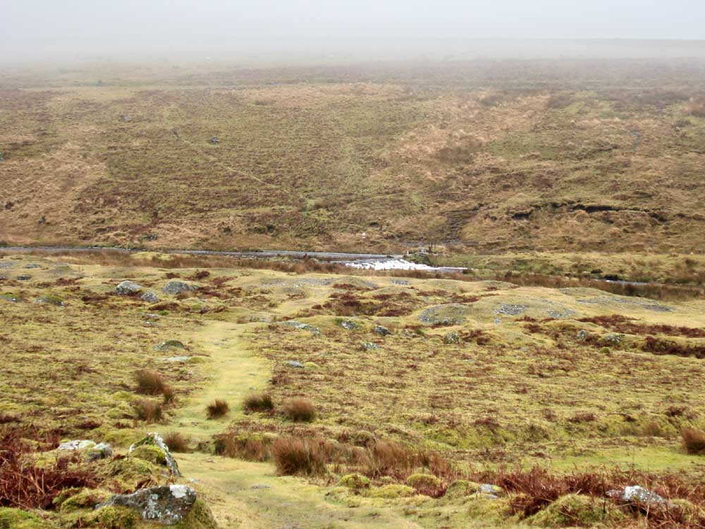
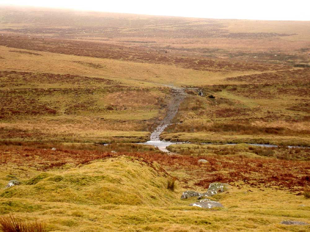
The weir on the River Plym for the take-off of the Bottle Hill Mine leat or Lee Moor leat on the far side of the river, to the right that (now) runs to the Big Pond at Lee Moor China Clay Works .....
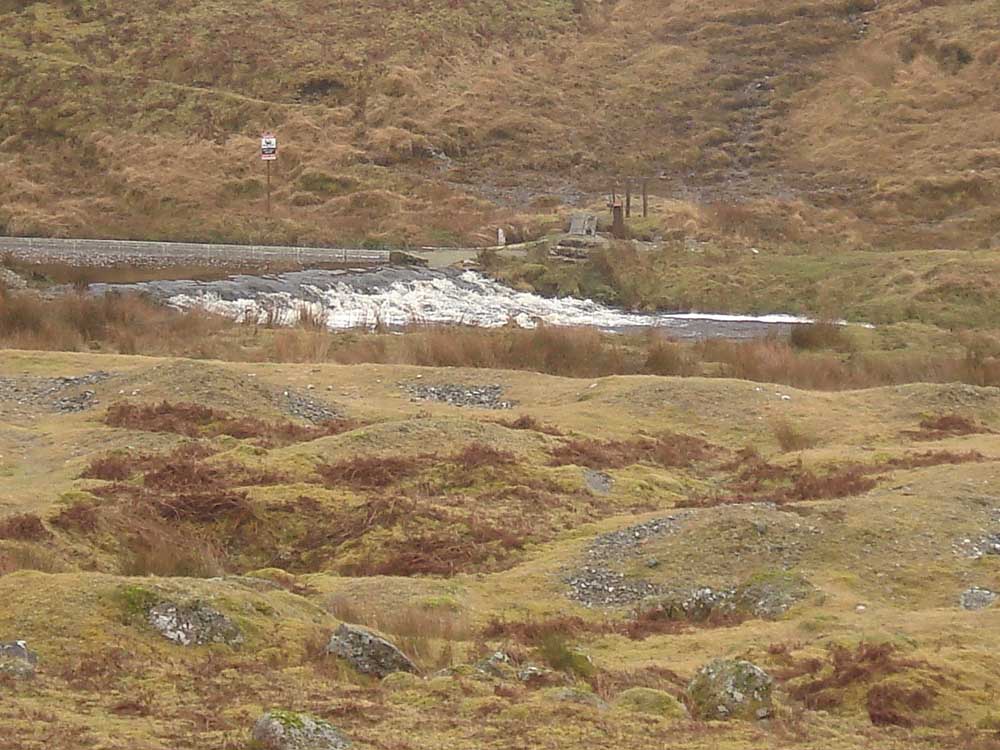
..... a zoomed view, across tin diggings, a sluice can be seen across the river to control the flow into the leat.
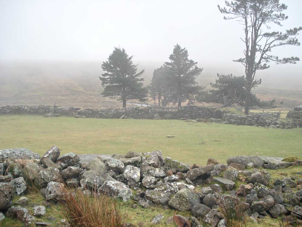
Ware's garden, (she of the fearsome reputation) was Granny Ware who lived at Ditsworthy Warren House with her son. Her son, Percy, built Burcombe Bungalow in 1933 (now known as the Scout Hut) so he and his wife could live �out of hailing distance� of his mother Granny Ware. The River Plym is at the far right.
Pillow mound across the river.
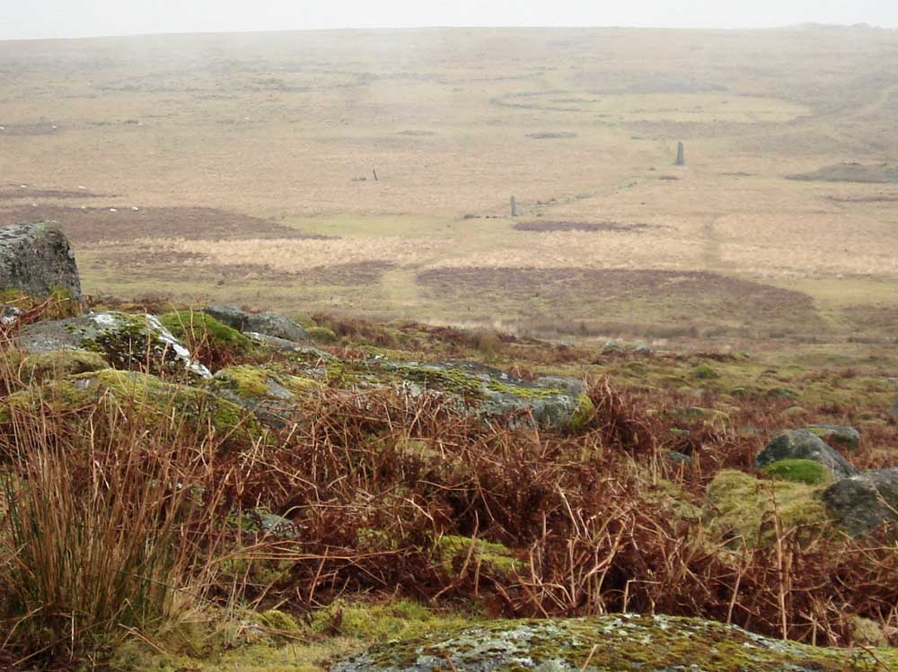
A view of the Drizzle Combe stone rows and two of the three enclosures beyond. The three cairns in front of the enclosures can also be seen, just!
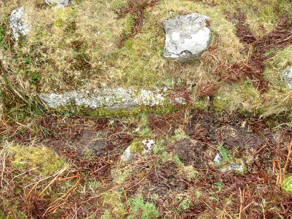
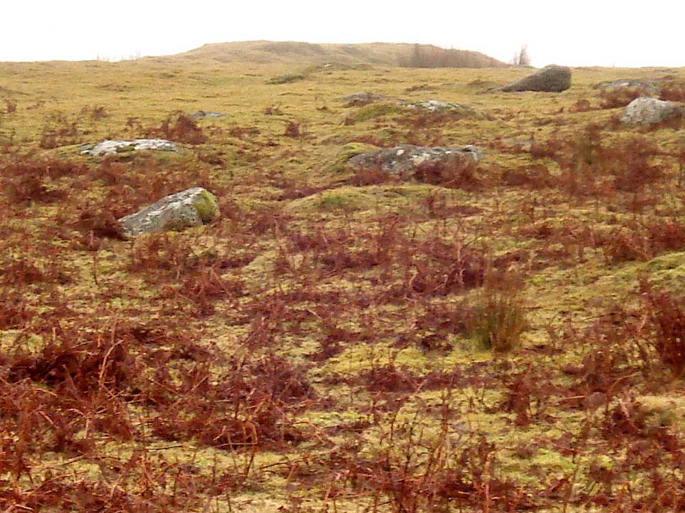
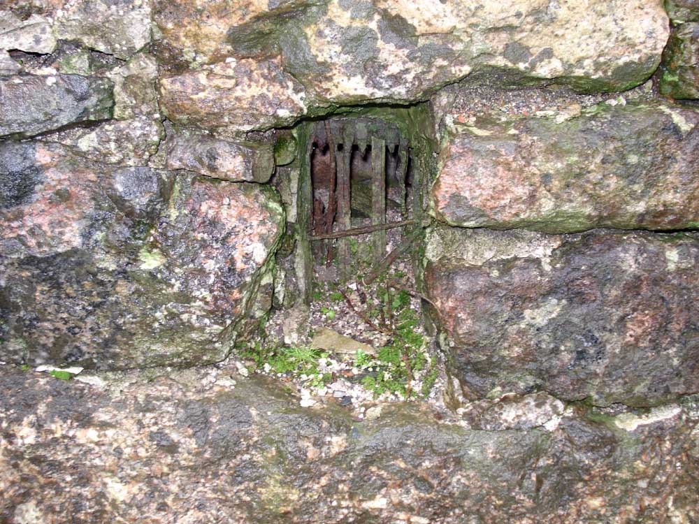
Yes - vermin trap no. 4, for the aficionados, at SX 58246 66899 � 4 metres ....
A view of the vee-walls funnelling into the trap (below the centre of the photo) with Gutter Tor at the top right - still in the mist!
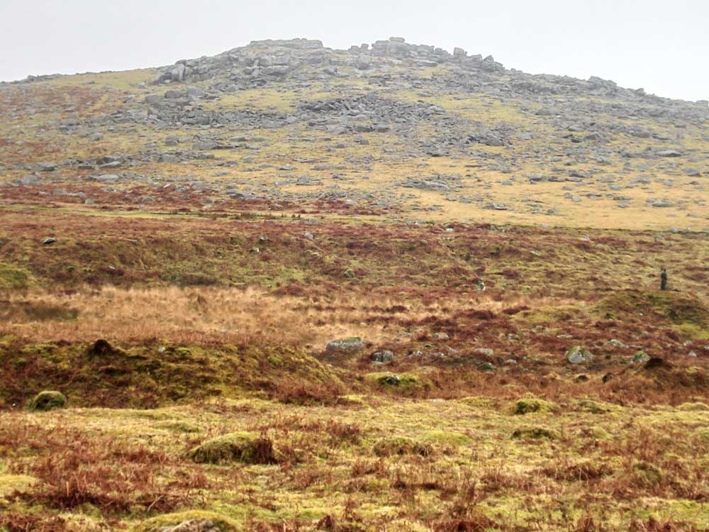
A last view of Gutter Tor.
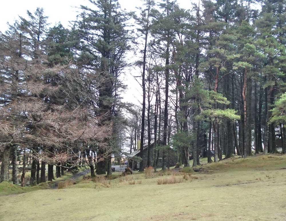
Approaching the Scout Hut on the bridle path that runs through the enclosure, ready to dispose of various military oddments left over from military exercises (flares and bullet cases).
MAP: Red = GPS satellite track of the walk.
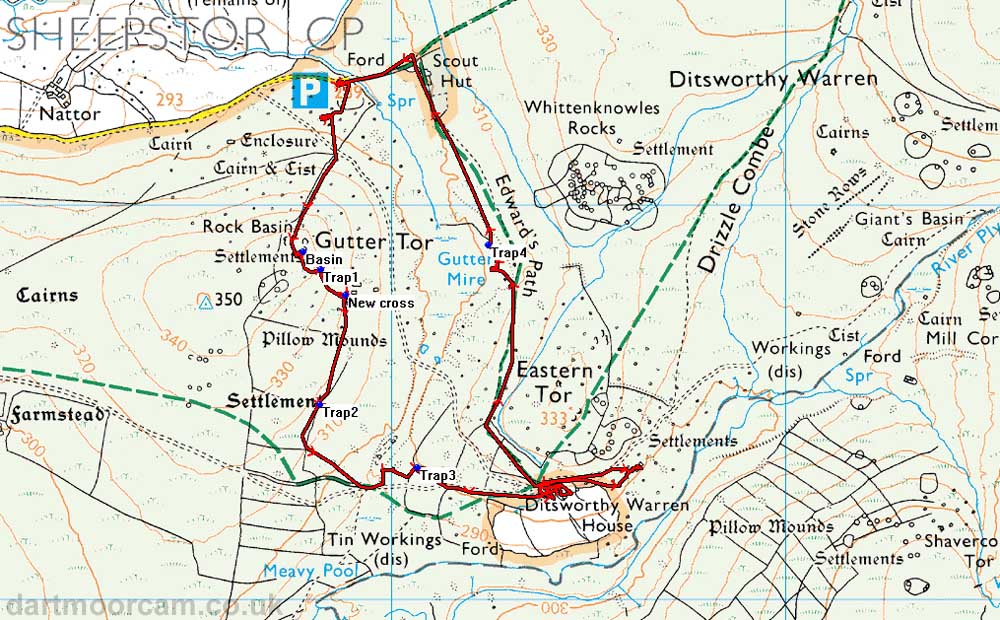
Ordnance Survey © Crown copyright 2005. All rights reserved. Licence number
100047373.
Also, Copyright © 2005, Memory-Map Europe, with permission.
The walk is most easily approached by driving over Burrator Dam, through Sheepstor, until reaching a left turn to Nattor. Parking is at the P symbol on the map.
Statistics
Distance: 4.79 km / 2.98 miles.
All photographs on this web site are copyright ©Keith Ryan.