![]()


This walk: 2011-5-18. A misty, atmospheric day: Burrator Reservoir, spiders' webs, rhododendron flowers, weirs, water monitoring station, Fyshinge Feast, yellow flag iris, uncovered submerged road and bridge, exposed tree stump, bluebells, sunken lane, wild mint, mystery seedlings at water's edge, submerged gatepost, stone with square hole, granite troughs, Longstone Manor, cider press, kieves, cast-iron PCWW marker, weeping hawthorn.
Walk details below - Information about the route etc.
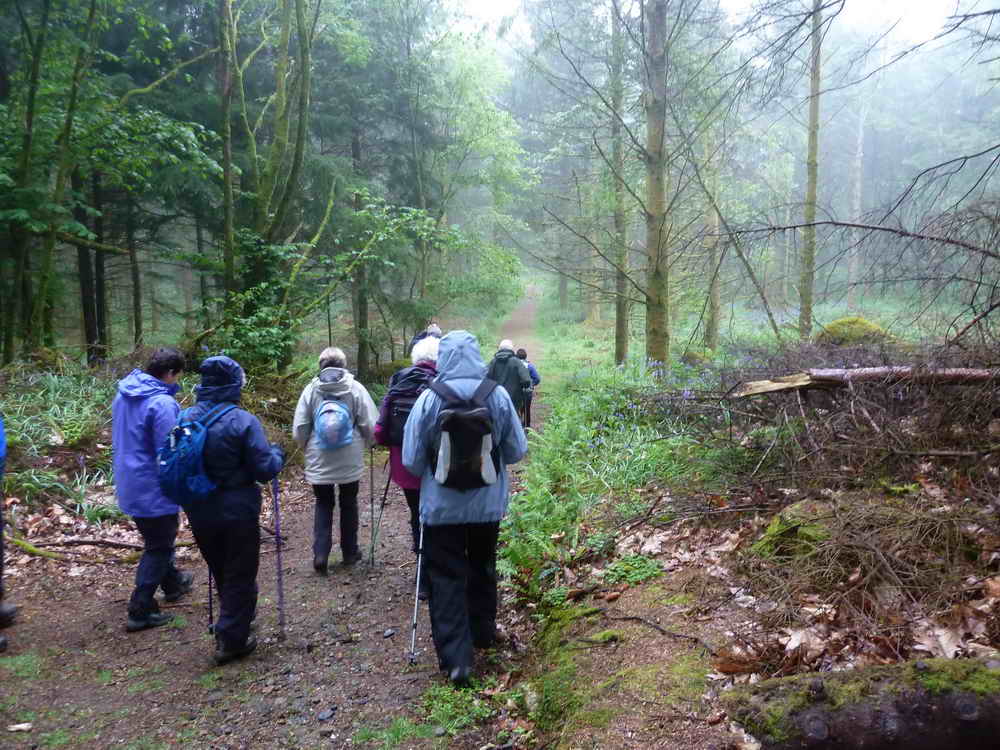
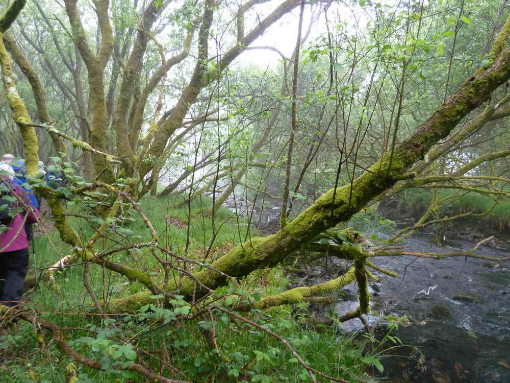
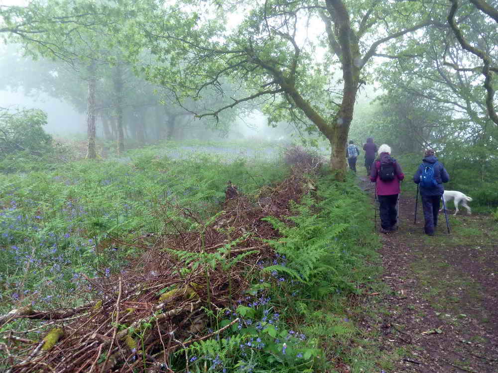
Setting off from the car park into the wood around Burrator Resrvoir - it was a misty morning.
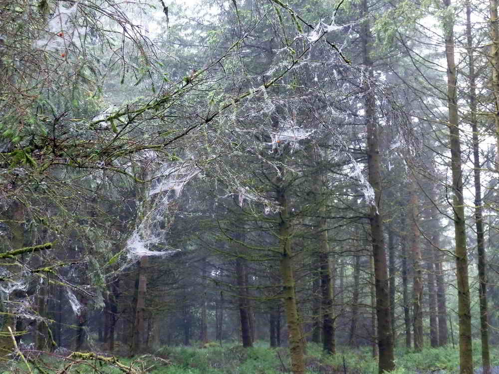
"They have got some big sheep in these parts", looking up at the lower branches.
Or, spiders' webs with mist?
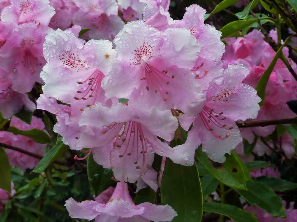
Rhododendron .....
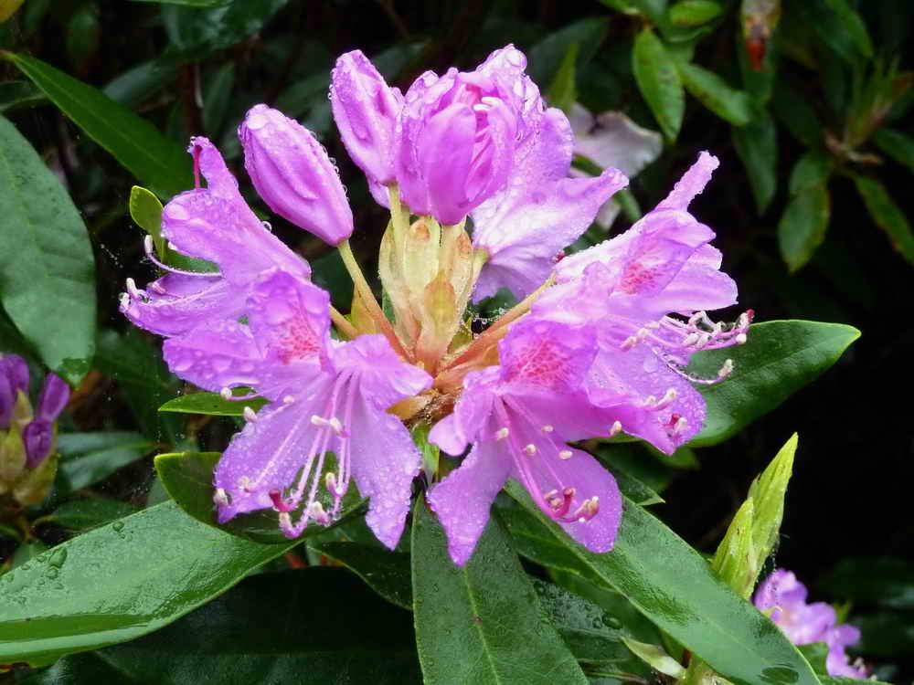
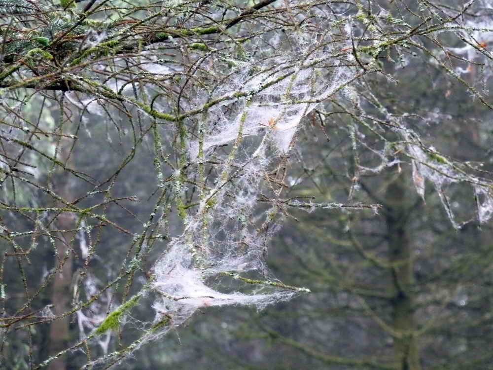
As previous photogrpah.
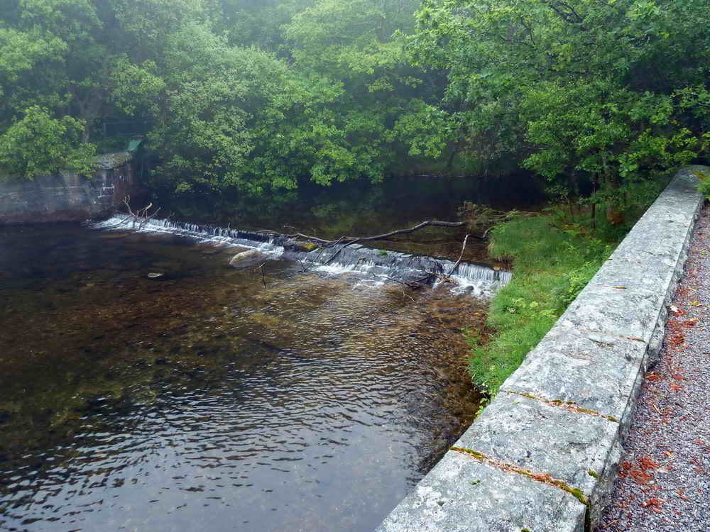
One of the weirs marked "Weirs" on the map, this being the upstream one ..... above this point the River Meavy and the Newleycombe Lake have come together by Norsworthy Bridge. Narrator Brook comes in below the second weir .....
A monitoring building between two weirs, measuring water characteristics - e.g. flow, acidity, turbidity etc. This photo does not show the extent of the green here, but this is now the site of the annual Fyshinge Feast, see Legendary Dartmoor, drinking to the pious memory of he who brought the water , Sir Francis Drake etc.
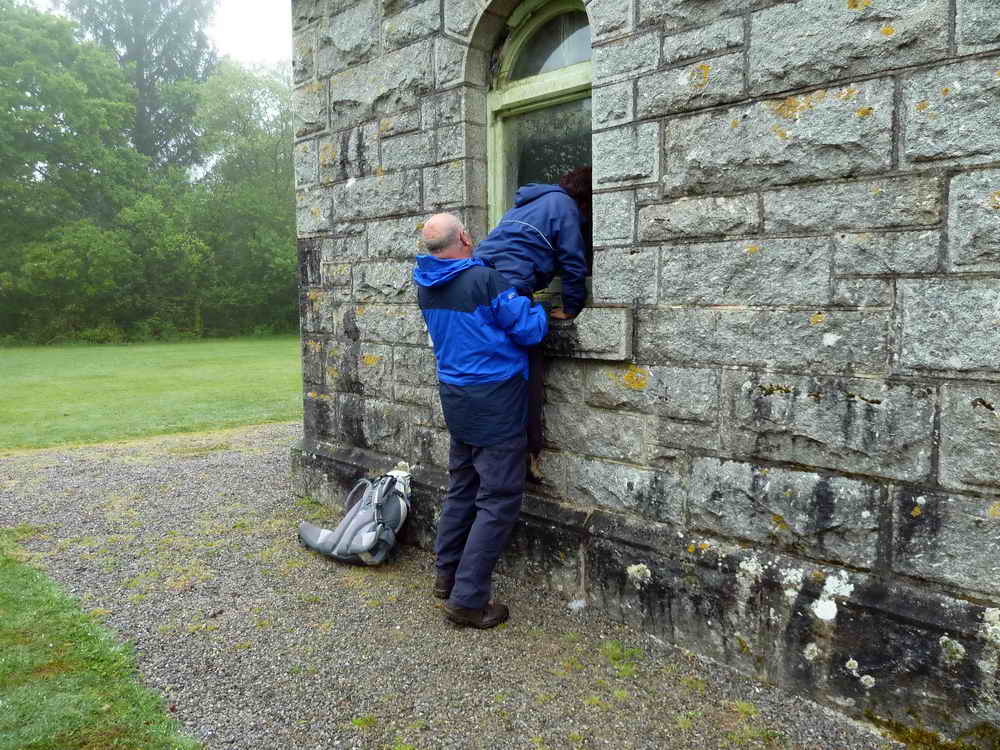
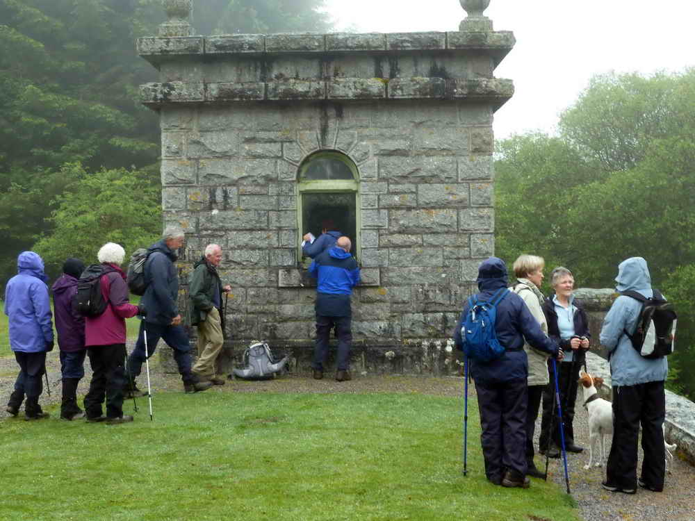
"I want to see" .....
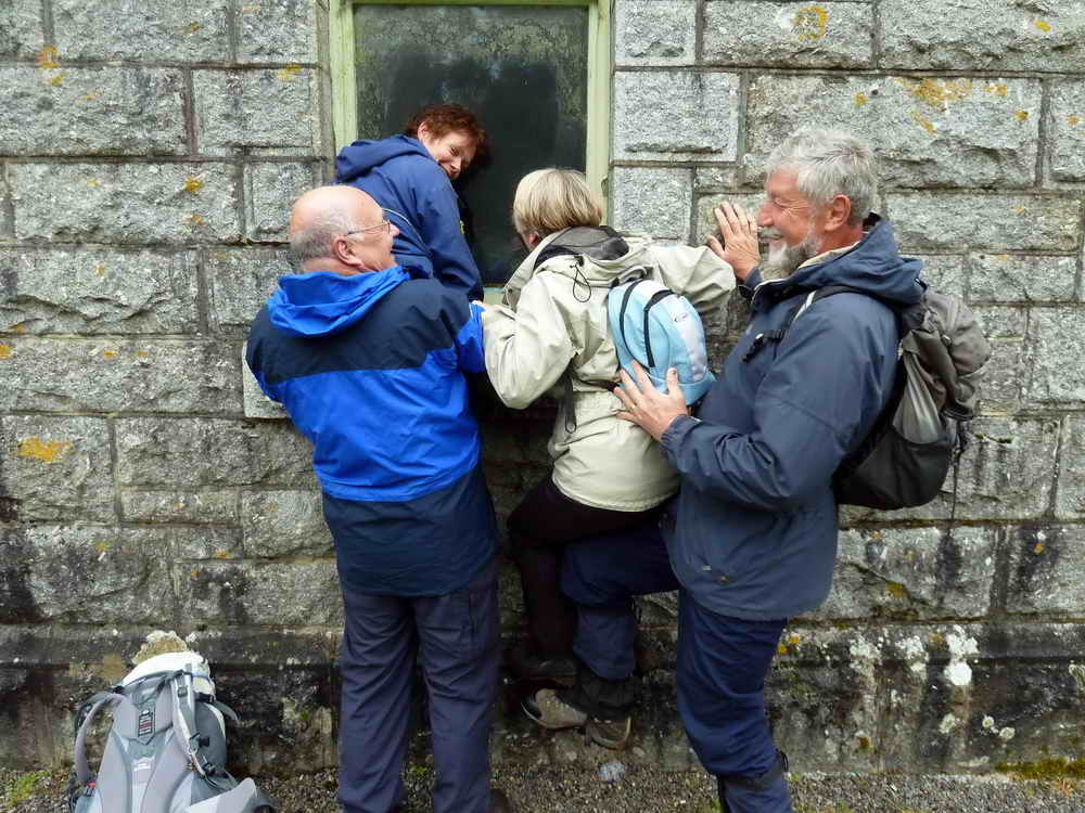
"So do I".
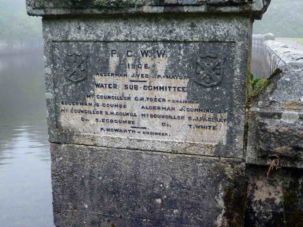
Plaque beside the second weir ....
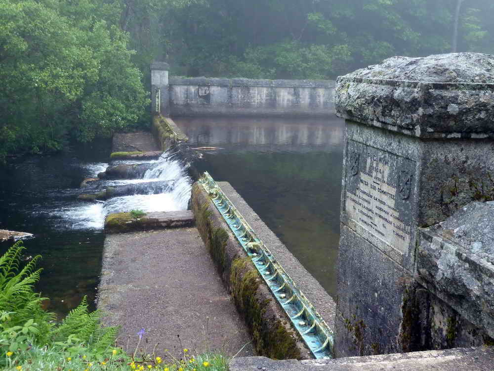
The second weir.
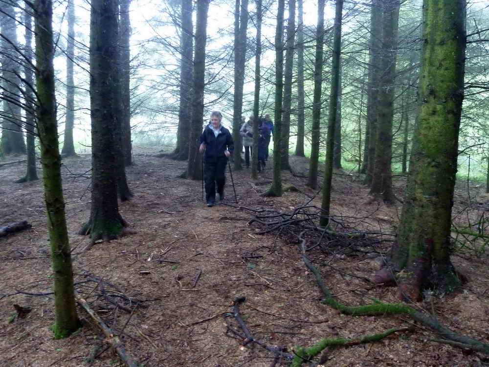
Walking among conifers planted by Plymouth City Council in 1921.
Beside the river .....
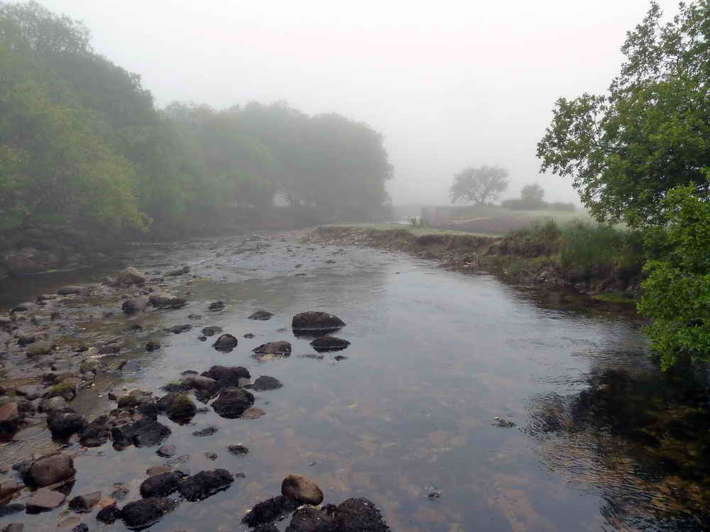
Where it opens out into a shallow flow .....
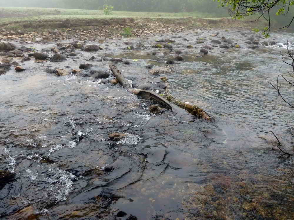
Trying to be artistic with a log blockage in the river ..... note the yellow flag iris on the other side .....
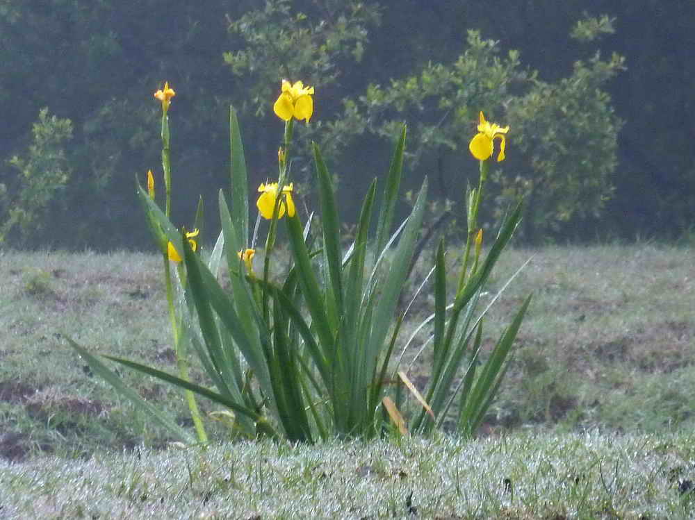
Zoomed view of the yellow iris.
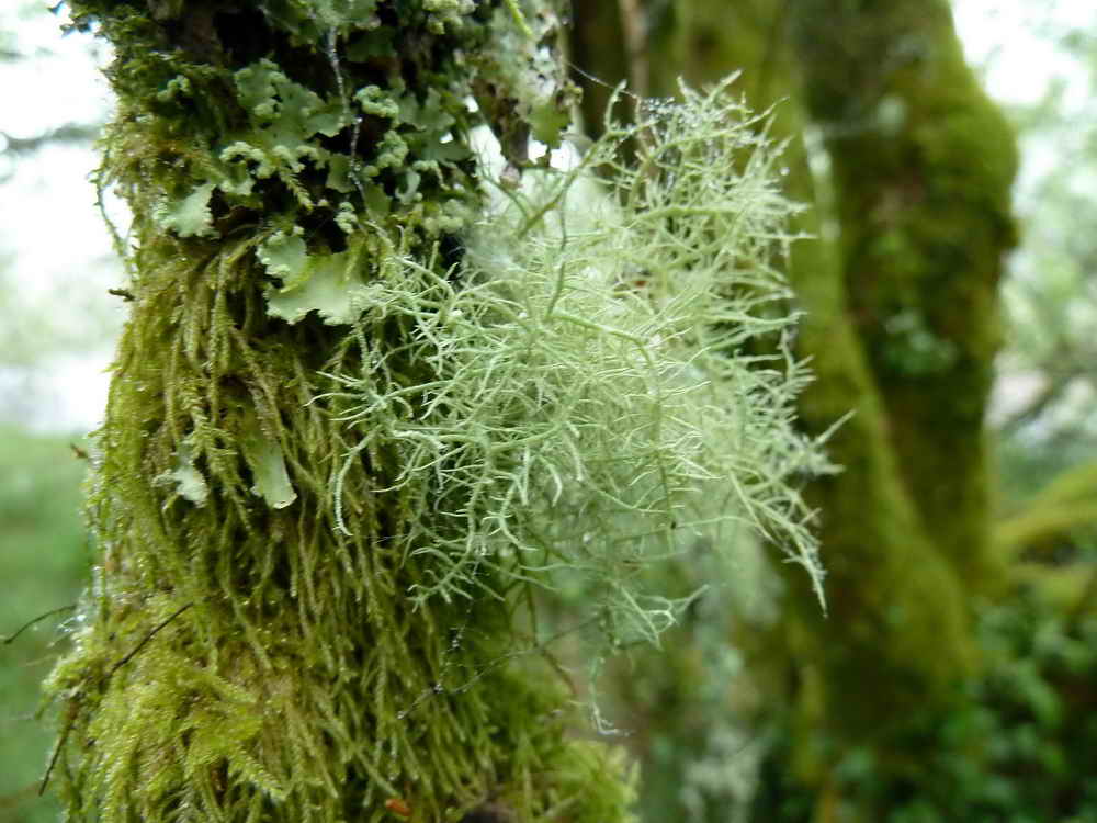
Usnea-type lichen on a tree.
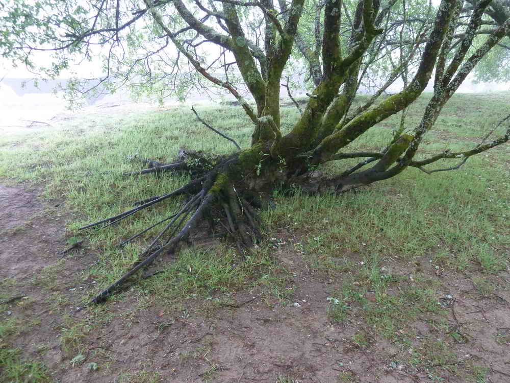
Interesting tree roots.
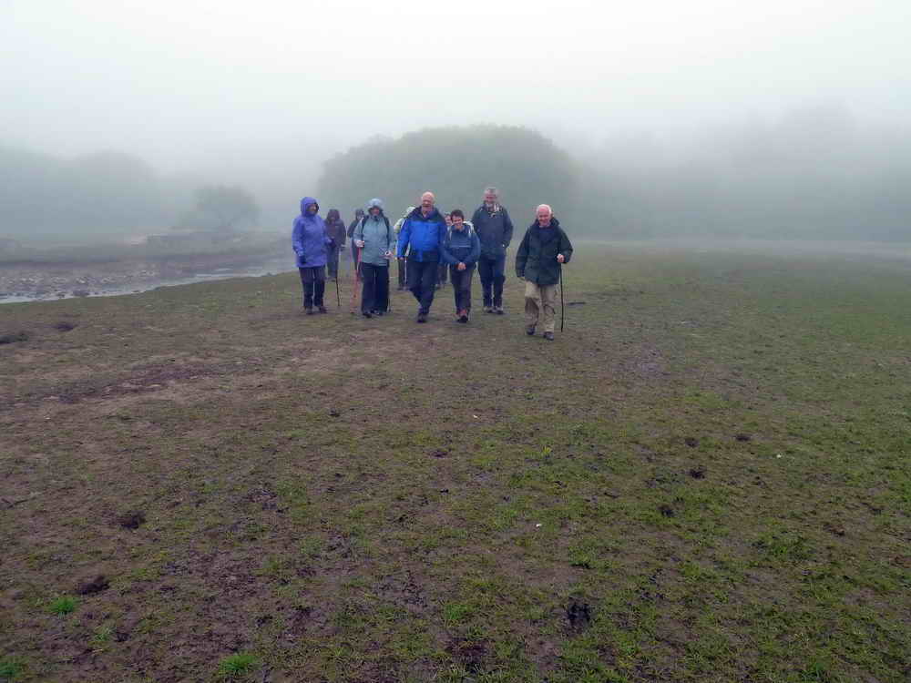
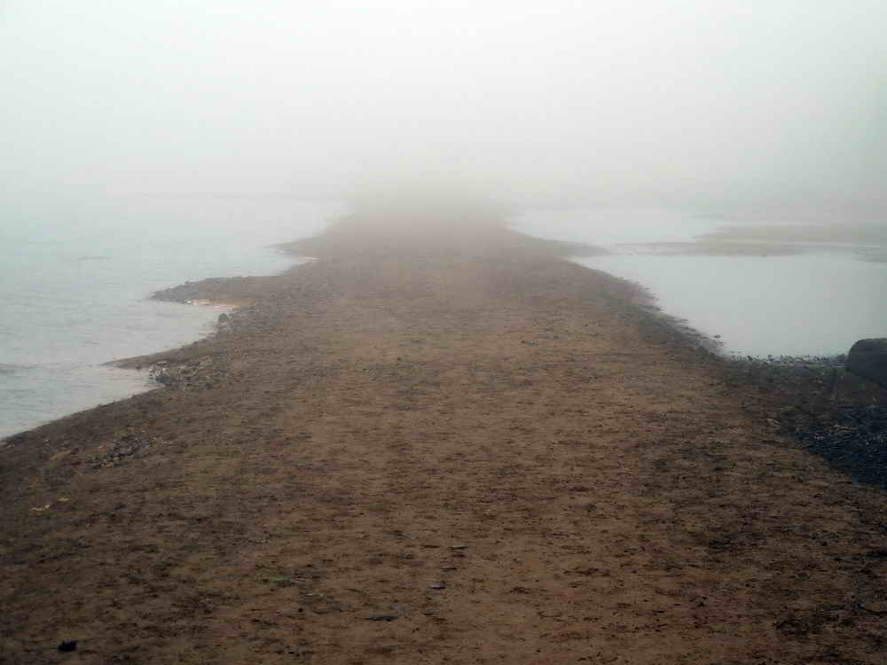
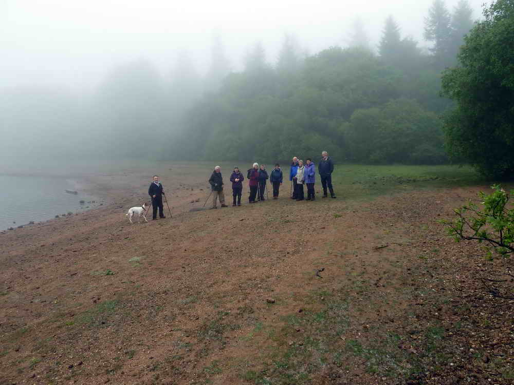
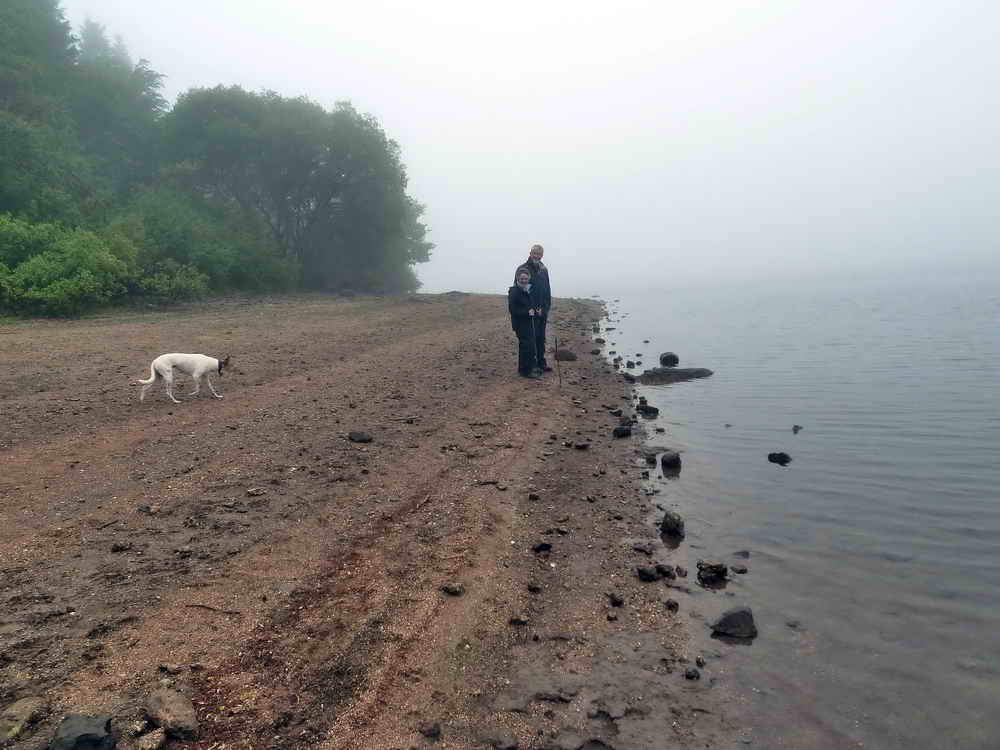
Not quite gorillas in the mist? Walking on ground that is normally submerged in the reservoir.
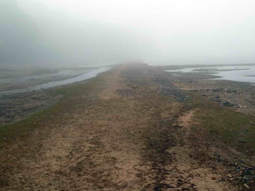
A road ahead .....
Weed growing at the present water's edge.
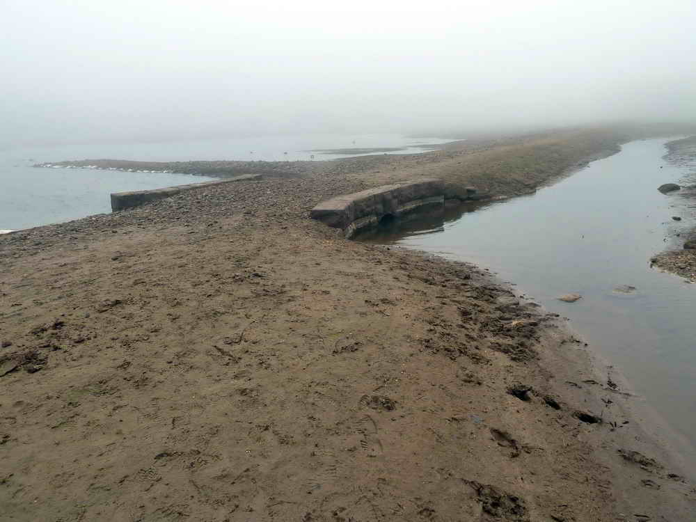
A bridge along the road that is normally under the waters of the reservoir.
Another view of the road ahead.
The water normally comes up to the trees on the bank of the reservoir.
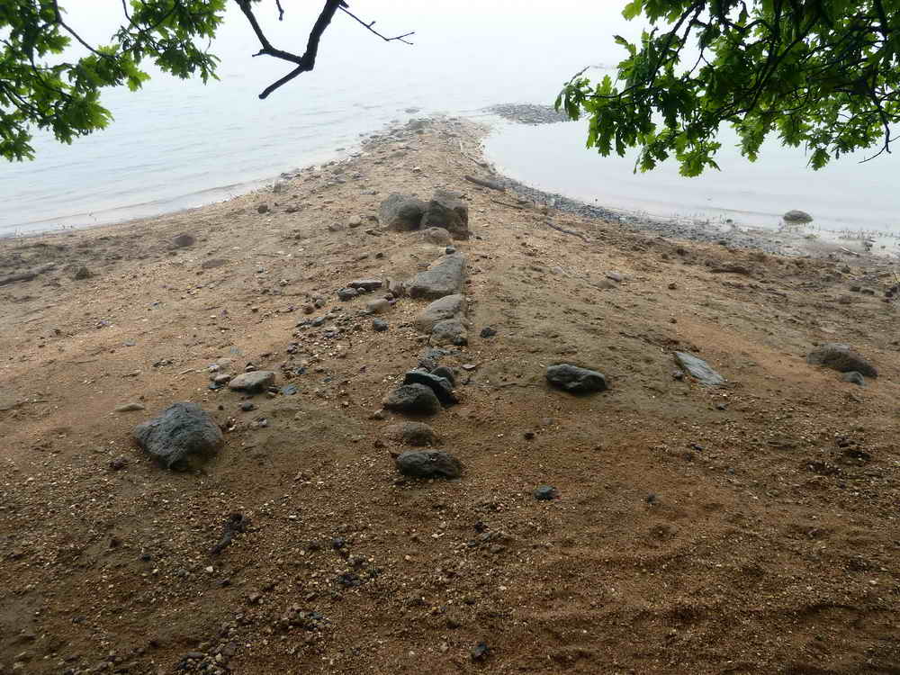
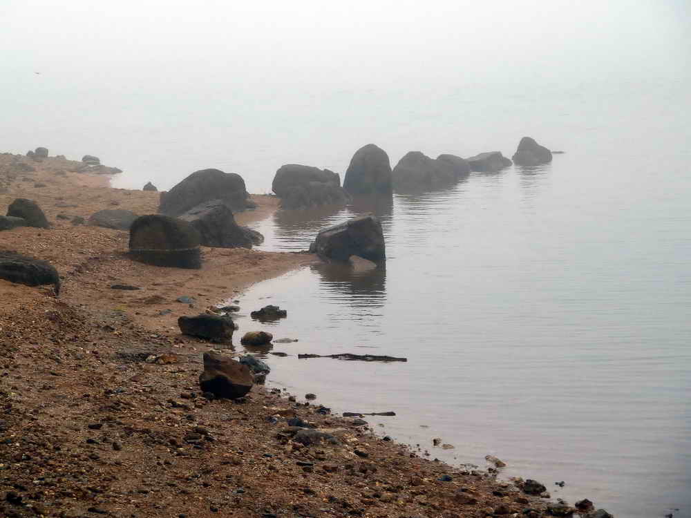
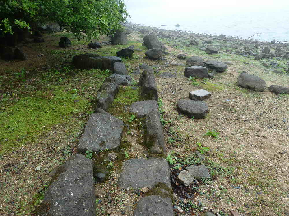
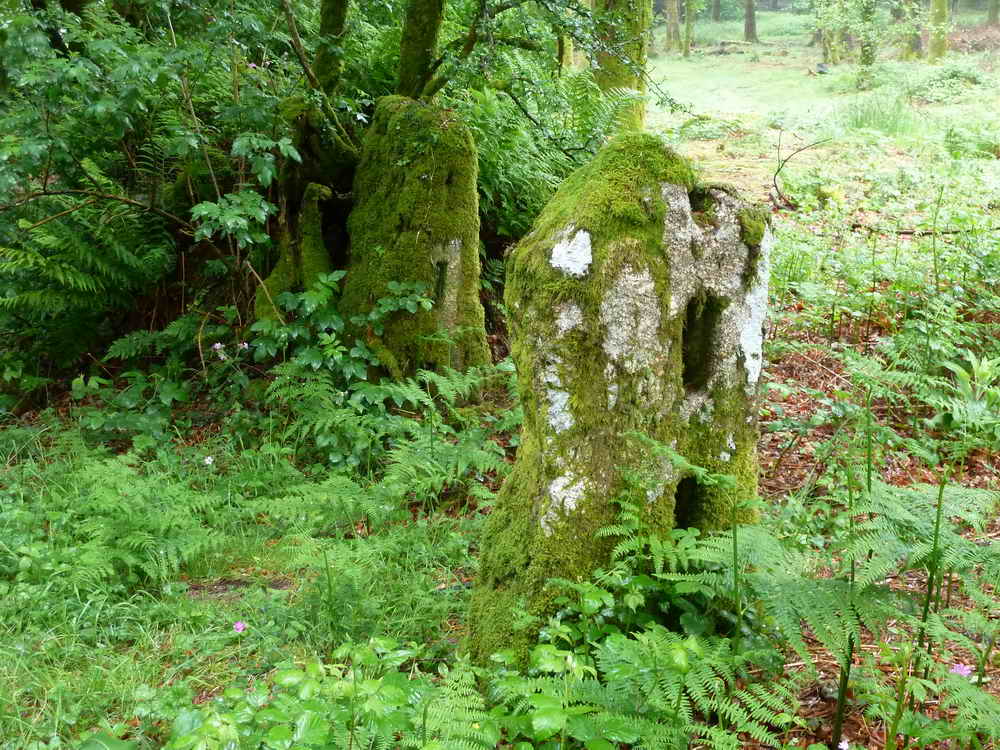
A row of stones that may once have been something meaningful?
Note the water weed on the top of the large stones .....
The water weed on the stones is also visible in this photograph.
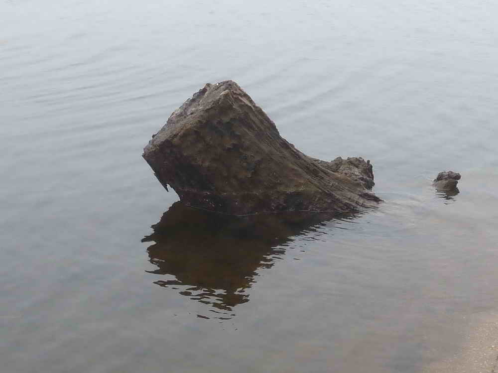
Exposed tree stump - it must be nearly fossilised by now as it hasn't rotted?
Bluebells among the bracken.
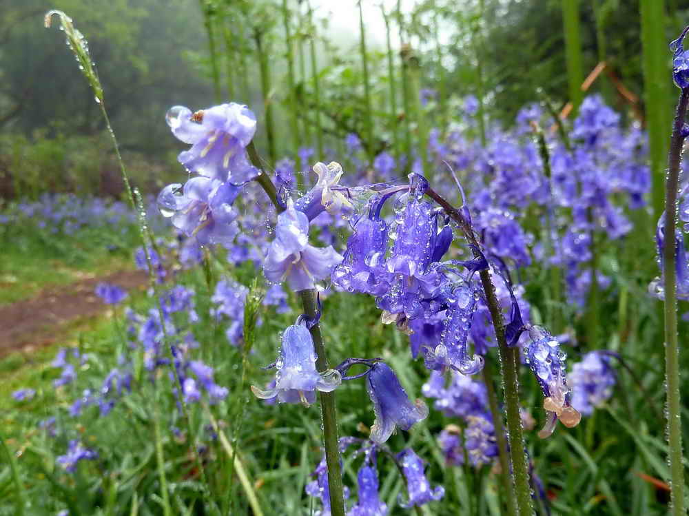
Bluebells up close - and wet with the mist!
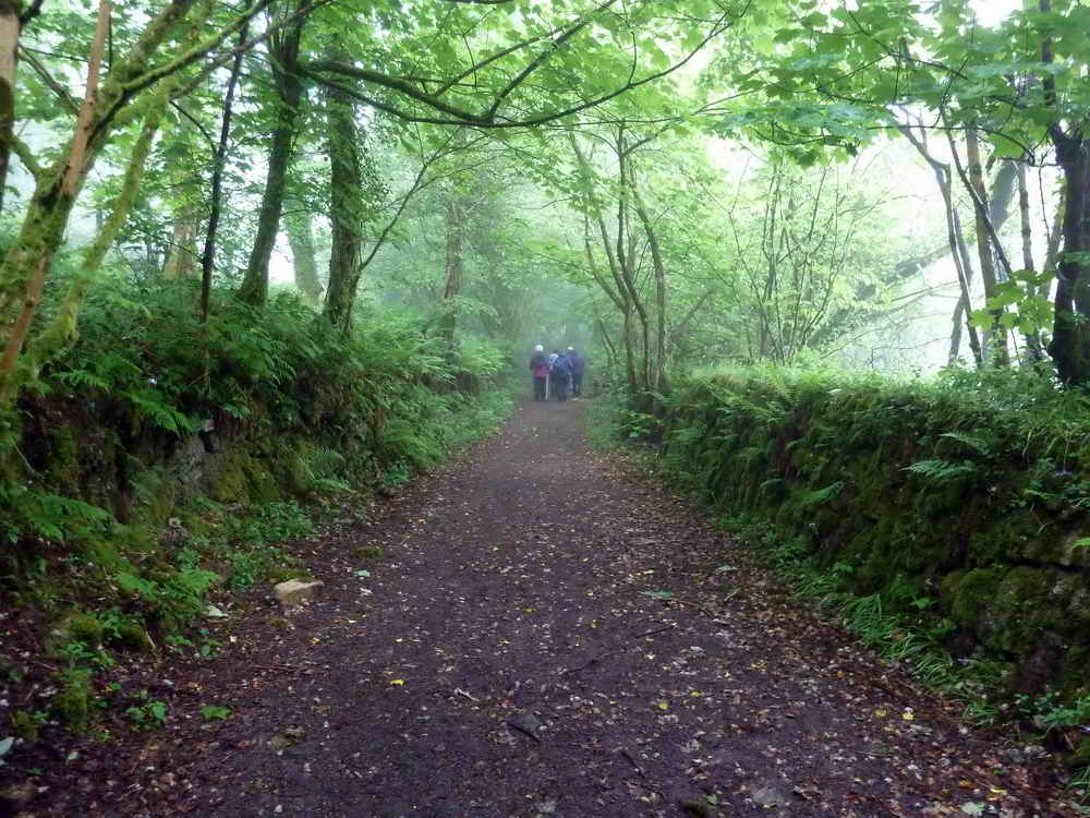
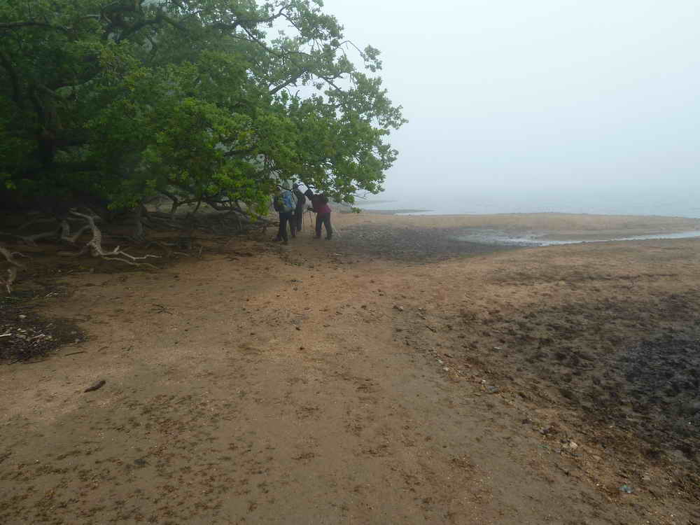
The sunken lane near the road around the reservoir.
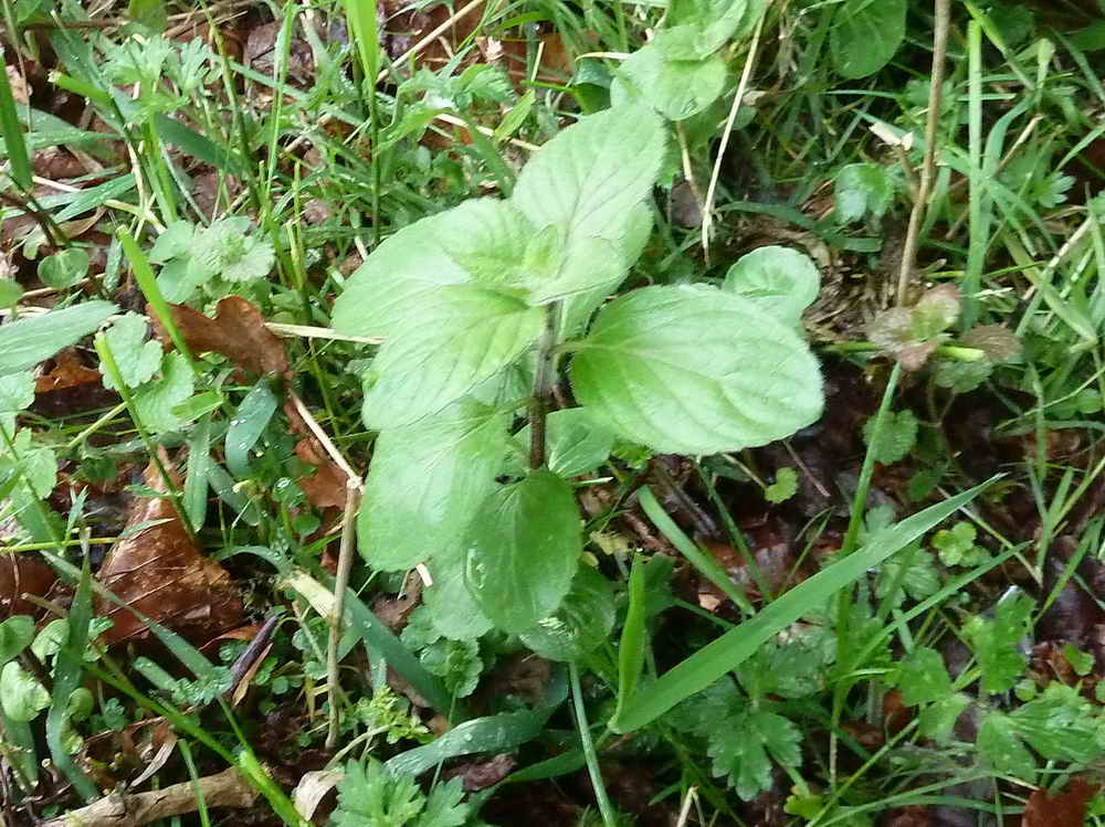
Wild mint, the rounded leaves indicate Mentha arvensis rather than Mentha sylvestris which has narrow, pointed leaves .....
Coming out of the trees we found a bed of stones where the mint grew very much among the stones and nowhere else.
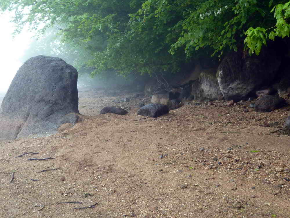
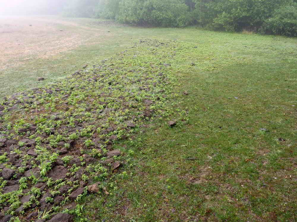
Showing the extent of the beach at this time, after weeks without rain.
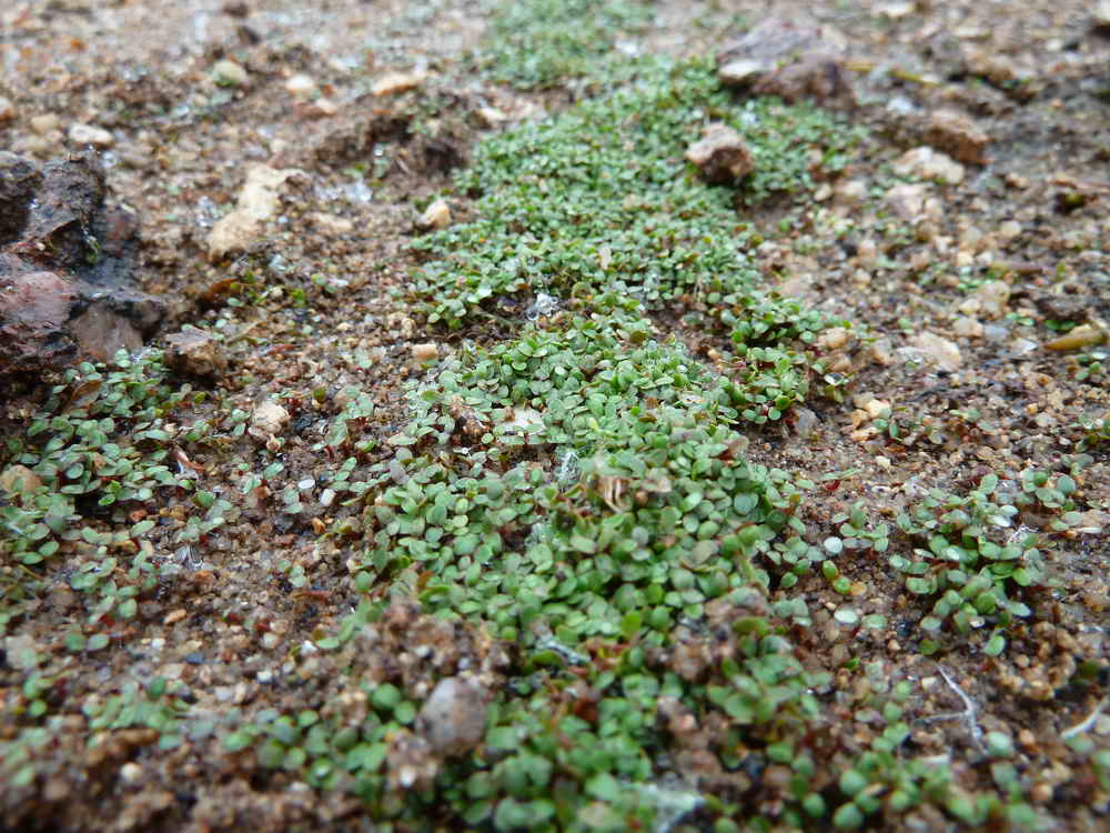
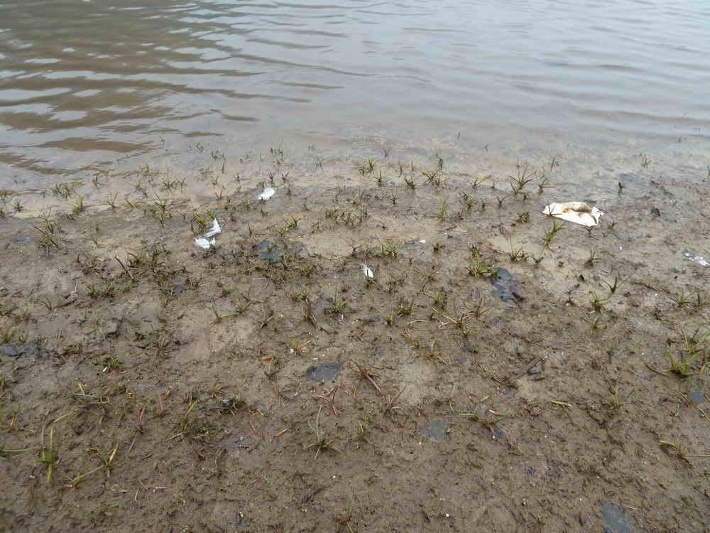
Germinating seeds (?) along the present strand line .....
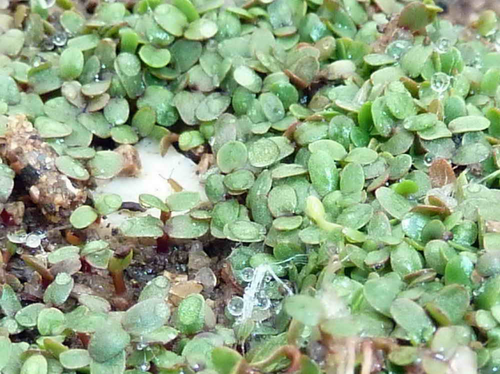
Close-up ..... could it be water cress? .....
The broken stick stuck in the ground shows the strand line where the seeds (?) are germinating.
As a stone row emerges from the waters .....
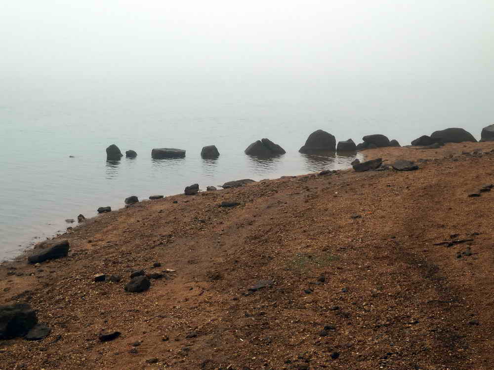
The same again, from the other side.
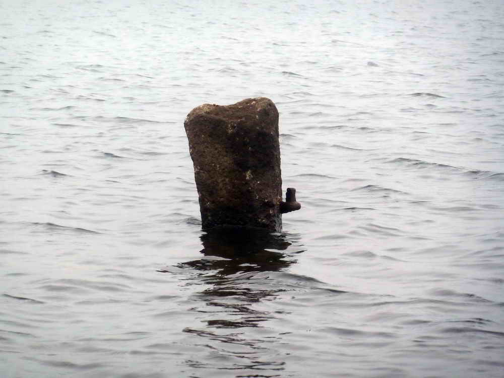
A nostalgic image - a gatepost complete with a gate-hanger emerging from the lake.
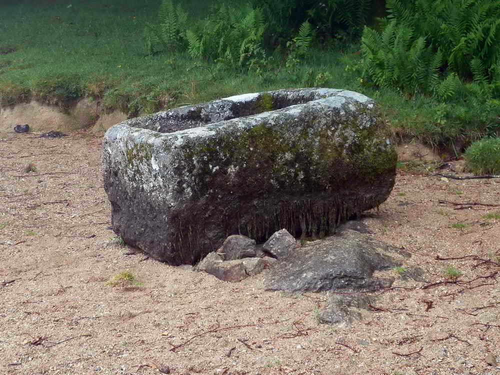
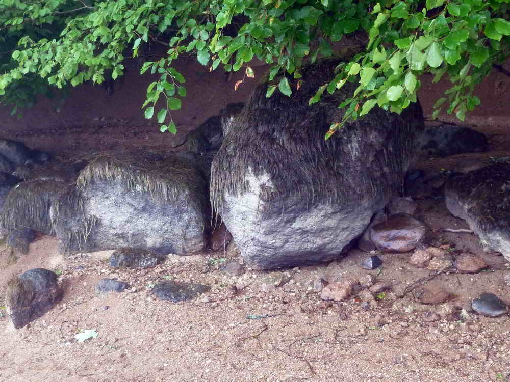
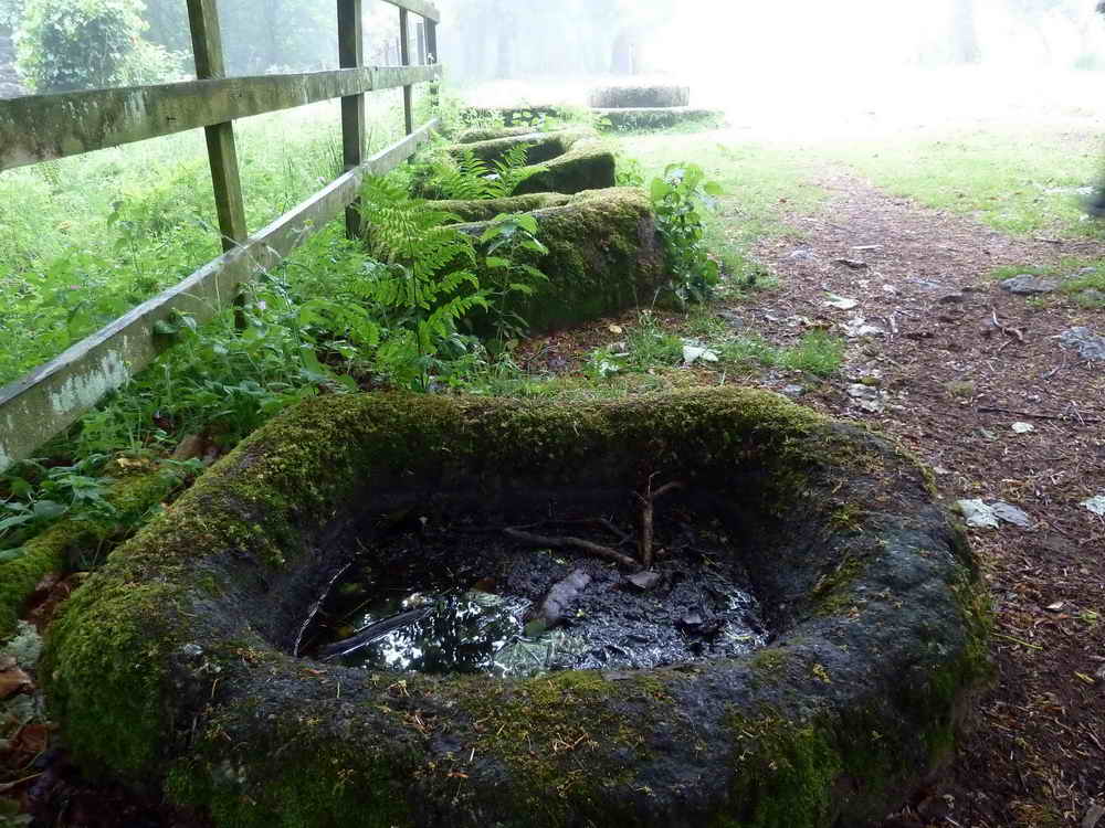
An abandoned stone trough at the normal lake-edge, note the weed.
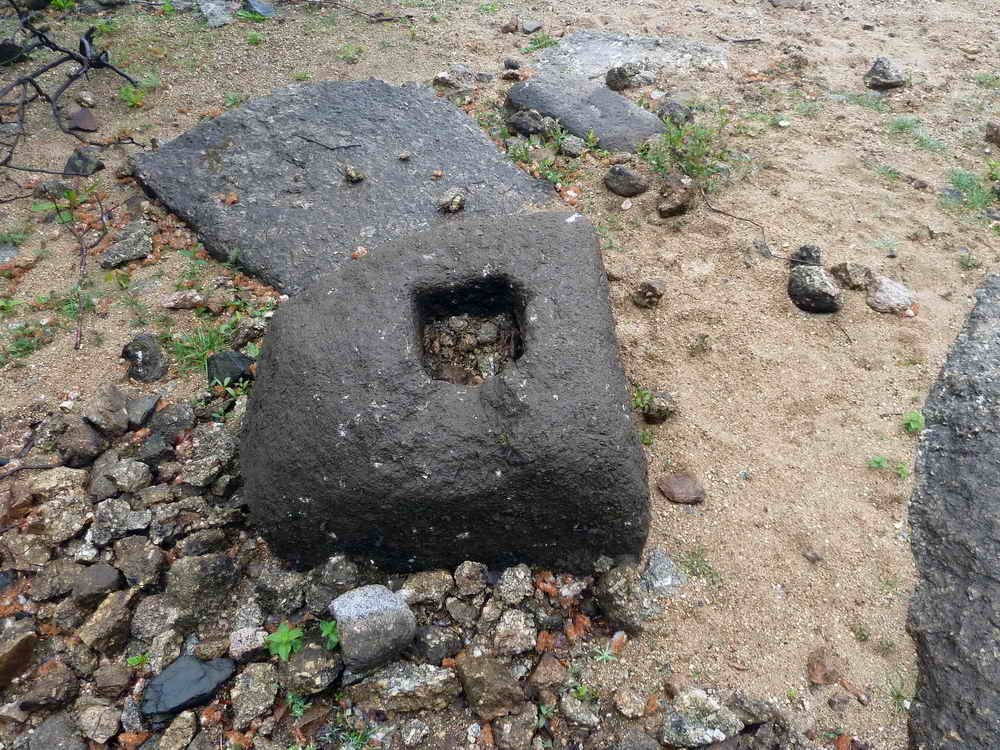
What is this - a stone with a square hole, such as stone crosses are set into?
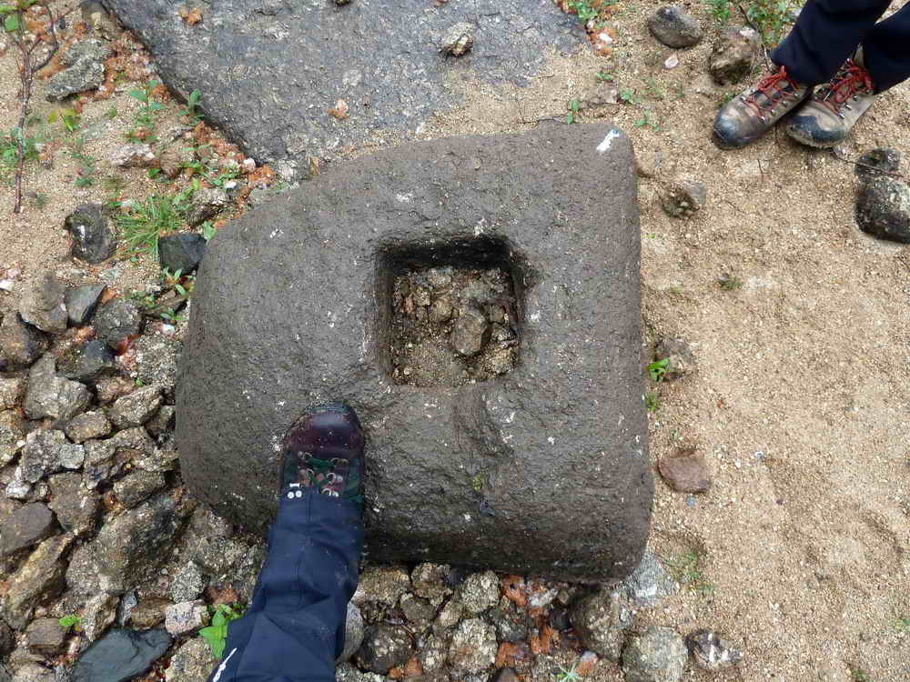
As previous, with a boot for scale.
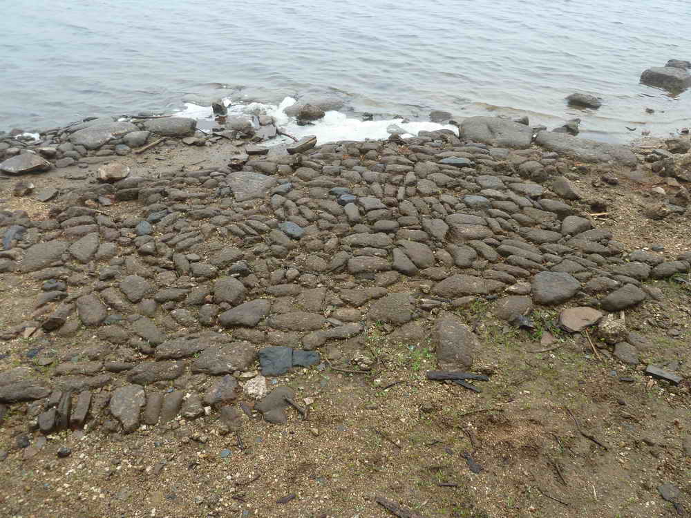
An old cobbled area.
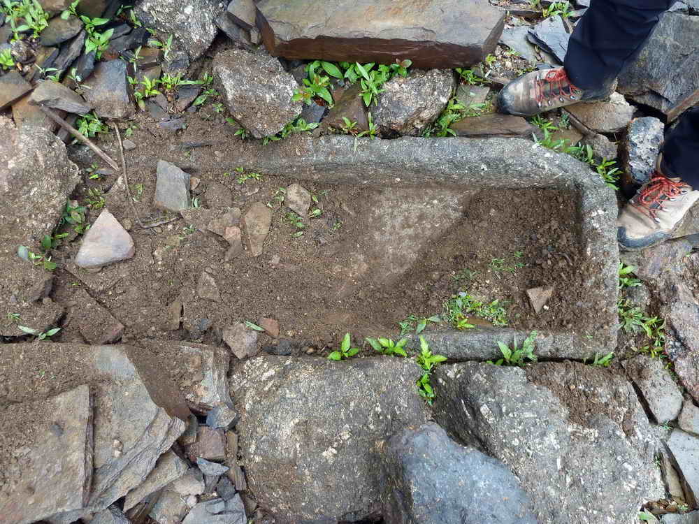
Aha - this led to some fun, a stone trough in need of digging out .....
It proved to be quite a long one, extending to the bottom of the walking pole.
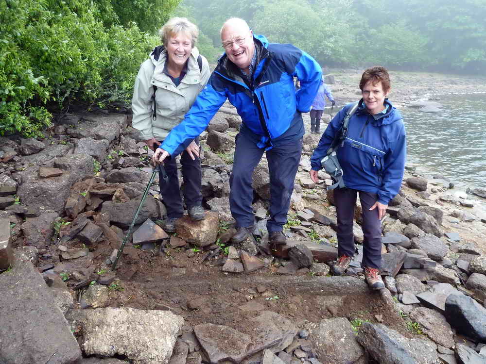
A double row of stones that must have once been part of a structure before the valley was flooded.
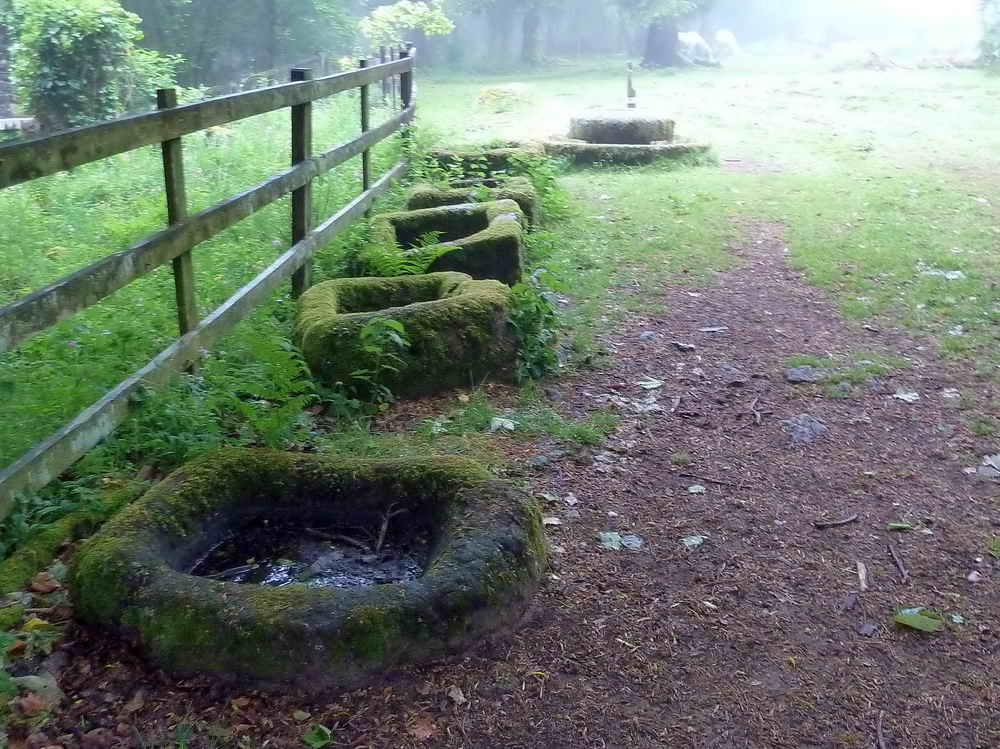
Longstone Manor kieves - used for brewing the mash from the cider crusher in the background.
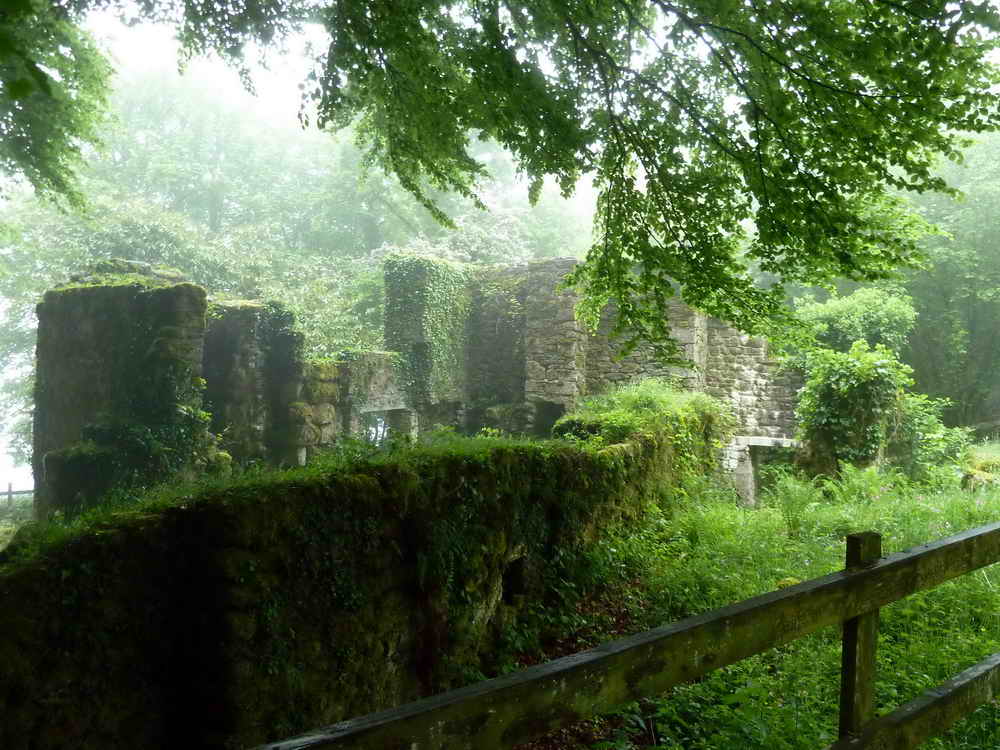
A misty view of the remains of Longstone Manor: originally built in the C13th, rebuilt by Walter Elford in 1633. There was a stone over the entrance marked WEBB 1633. B was for Barbara, Walter's wife. His son, John, added the cider press and the windstrew. The family owned the manor until the mid C18th and were established as gentry. John (who eventually had four wives) hid from the Parliamentarians in Pixie's cave. The farm was owned by the Lopes family around 1820. Then the Creber family were there from 1848 as tenants until it was abandoned in 1898 with the building of the dam.
Origin of "Yelverton" - Ye Elford Town Farm, in dialect became Yelverton. The name was revived in 1885 when the GWR built a local station near to Elford Town Farm.
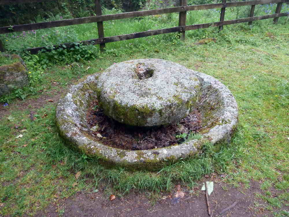
Cider crusher (not a "press" as such), where the round stone wheel would have run in the groove of the press to crush apples for cider-making; it would have been on an axle attached to a central pillar and would have been pulled around by a horse.
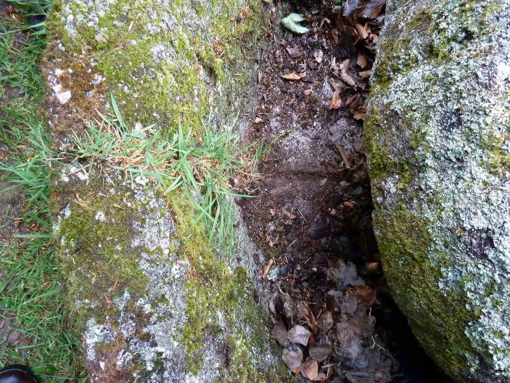
The crusher is made in two halves, very well jointed: here you can see the join in the bottom of the groove (it runs across the middle of the photo) and there is grass growing in the gap on the left wall of the groove - if a circular object can have a "left"!
Attempt at being artistic - another sad failure!
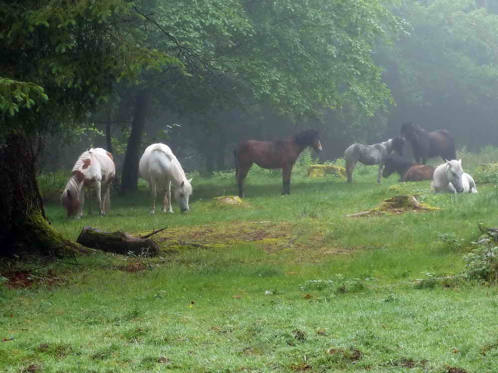
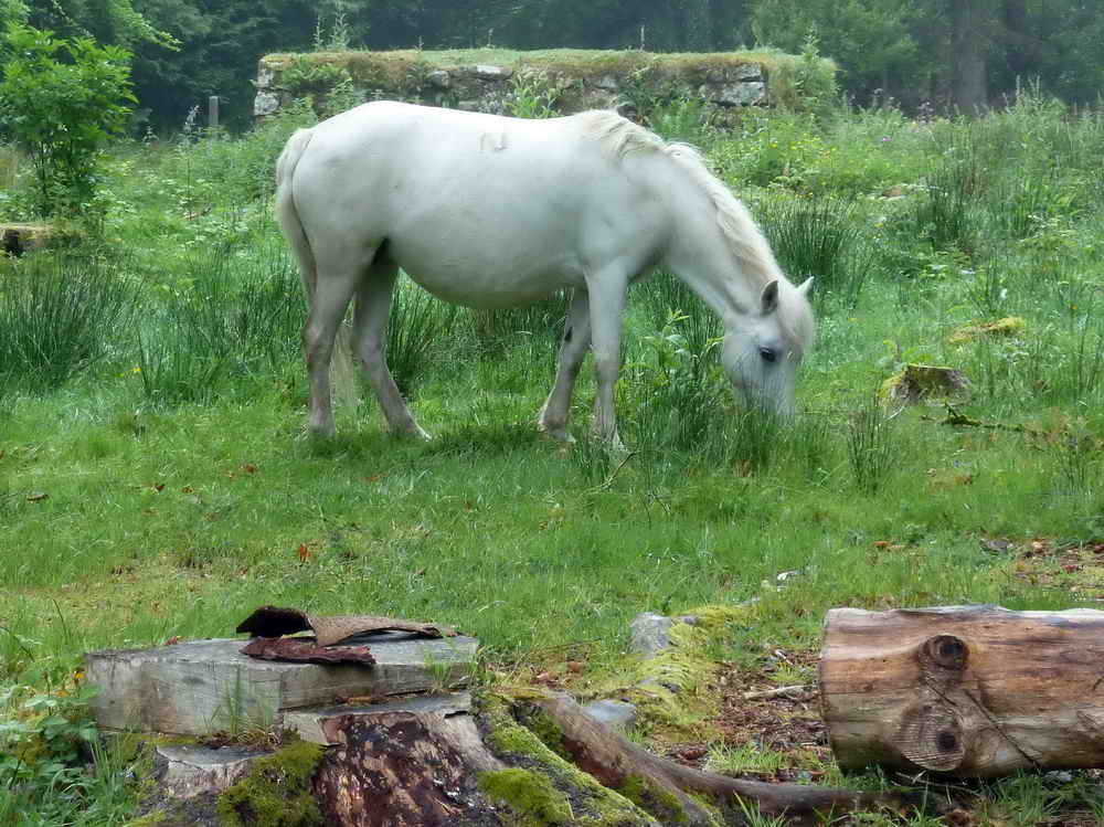
Ponies in the mist .....
Grazing pony with the windstrew behind - where threshed corn was thrown into the air to allow the chaff to blow away.
Slotted gate posts, with one turned around for some reason, also it has interestingly-shaped, angled slots,
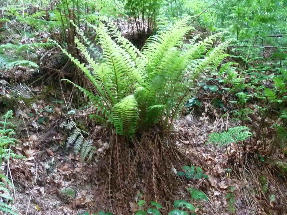
A fern among a lot of ferns.
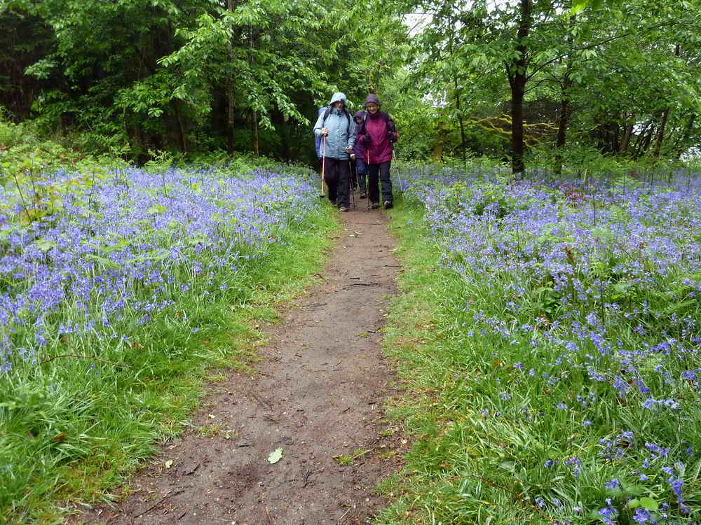
Walking among the bluebells - the scent was powerful with the air being still and with the very high humidity.
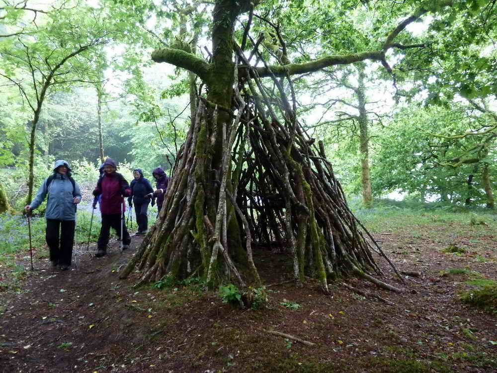
Art ............................ or survival?
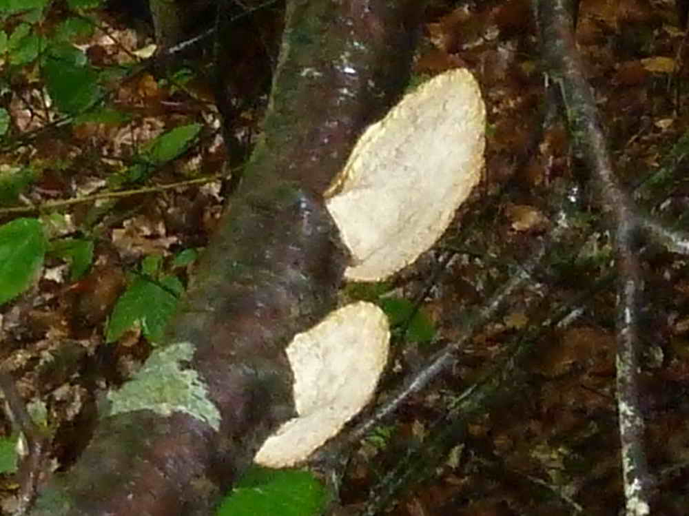
Bracket fungi.
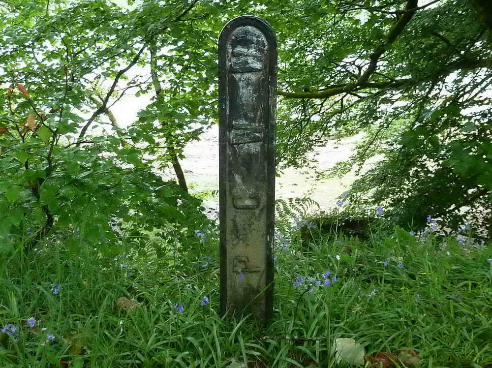
An unusual cast-iron PCWW marker, one which is seen in Dave Brewer's Dartmoor Boundary Markers, 2002, Halsgrove, page 286.
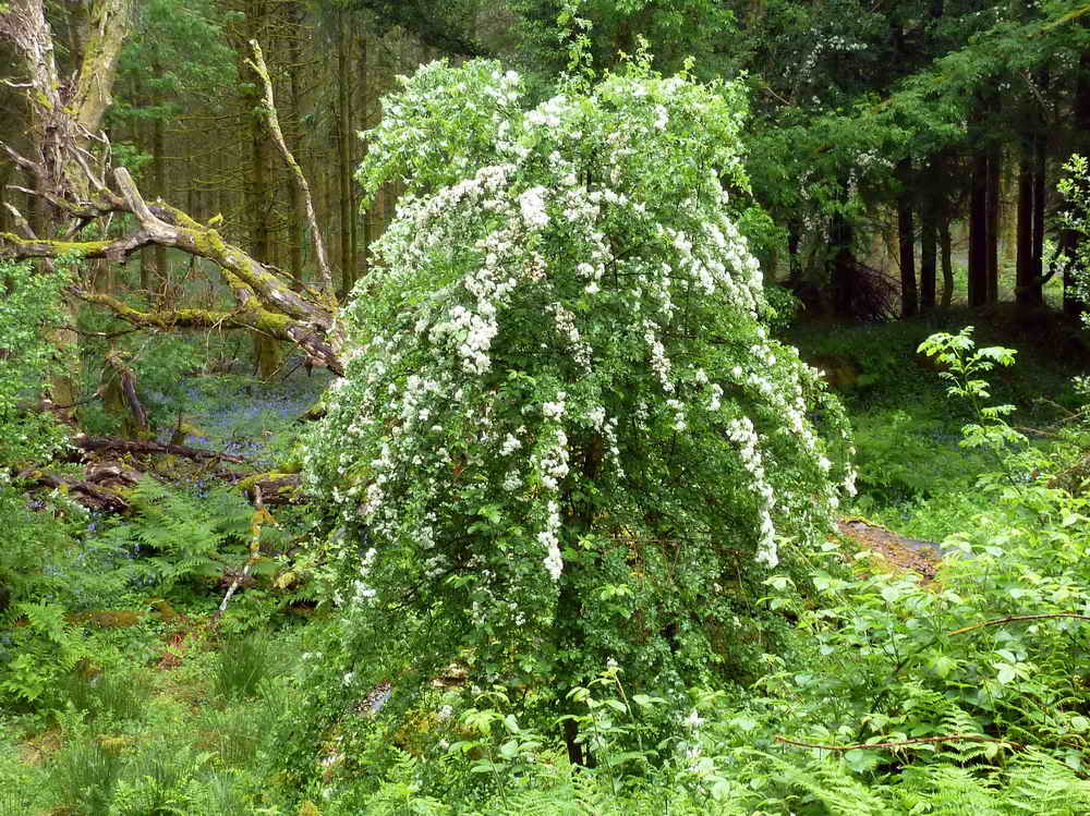
A weeping hawthorn?
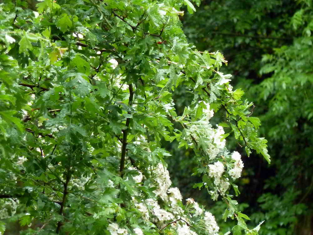
Zoomed view - these look like hawthorn leaves?
MAP: Red = GPS satellite track of the walk.
NB: there are two maps, the first one is at a higher scale to show more clearly the GPS track showing that we walked in the lake!
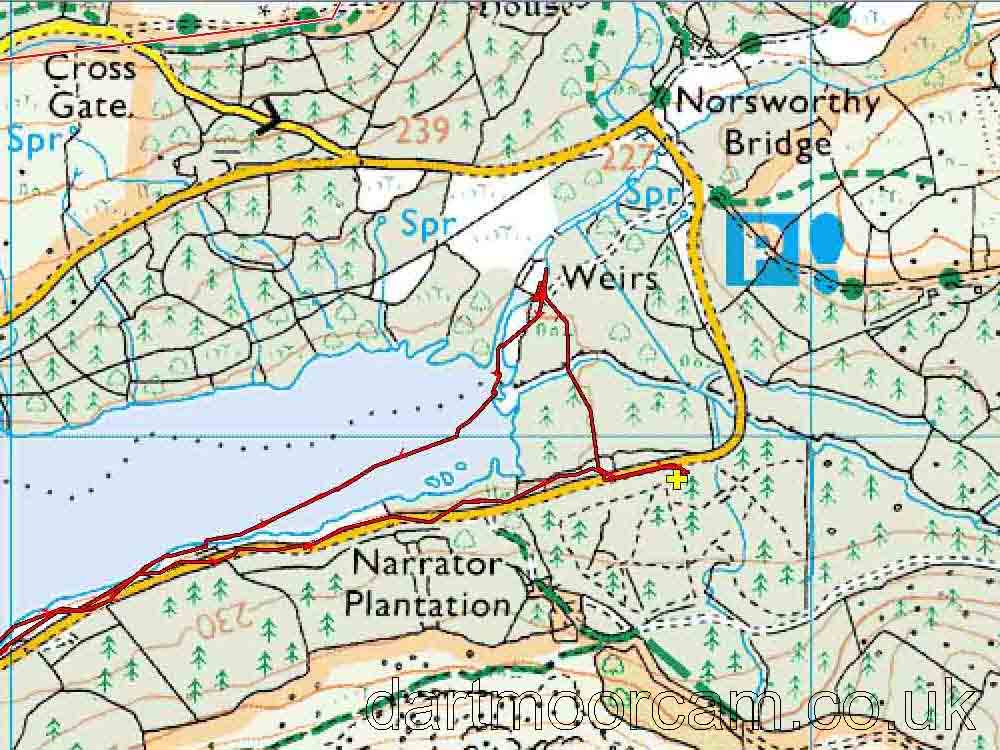
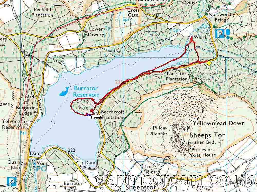
Ordnance Survey © Crown copyright 2005. All rights reserved. Licence number
100047373.
Also, Copyright © 2005, Memory-Map Europe, with permission.
This walk was accessed easily from Dousland by parking at Burrator Arboretum, marked by the yellow cross on the maps.
Statistics
Distance - 4.09 km / 2.54 miles
All photographs on this web site are copyright ©2007-2016 Keith Ryan.
All rights reserved - please email for permissions