![]()


This walk: 2011-3-16. A superb day with all-over blue sky and sunshine: Four Winds car park, Foggintor School, Longash Leat, King's Tor, West Mead Quarry, Red Cottages, Great Staple Tor, Roos Tor, Hill 60 Quarry, Harry's Box, Hollow Tor, Great Mis Tor, North Hessary Tor, TA stones, Sir Thomas Tyrwhitt's horse-drawn tramway, the Cake Stone, settlement, explosive stores, lichen.
Walk details below - Information about the route etc.
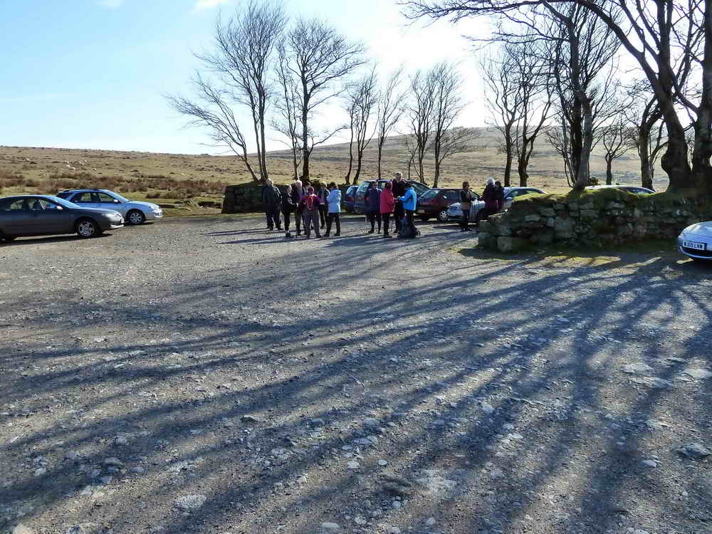
Moor Strollers gather at the Four Winds car park .....
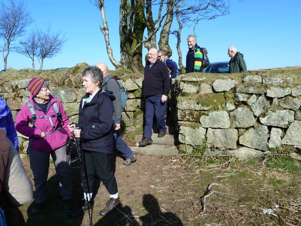
..... and we can ALL squeeze through the restricted size (anti-sheep) exits onto the open moor .....
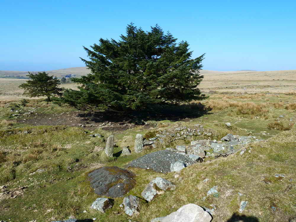
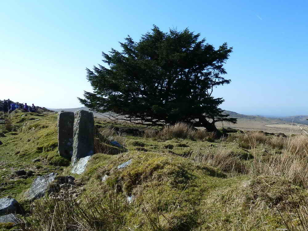
This was the site of Foggintor School, built 1914 (closed 1936), with up to 55 children from the nearby cottages associated with Foggintor and other nearby quarries. Mr & Mrs Stoyle were the teachers, it was a spacious building with a wood block floor and central heating - the pipes were used for warming their pasties! There were periods of closure due to drifting snow and whooping cough. The garden had bees, poultry, a goat and rabbits. Besides the school building there was also the School House, for the teachers. One section of the enclosure was the playing field. The school was run throughout its history by Fred Stoyle, the youngest head-teacher in the country. Their son, Ivan, planted the Christmas tree from 1924 in the school garden and this is the tree that stands there today. After the school closed in 1936, the house was renamed "Four Winds". The building was demolished in 1965.
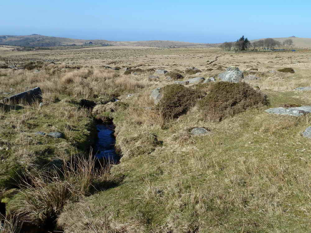
Longash Leat, it goes on to run between the two Merrivale stone rows to Longash Farm.
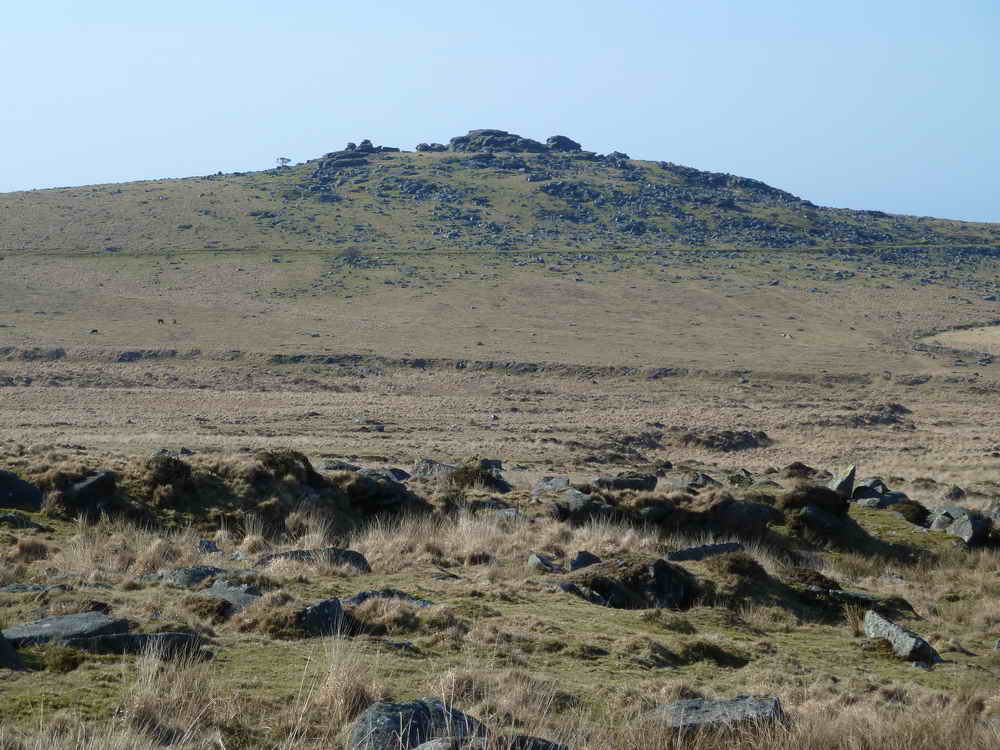
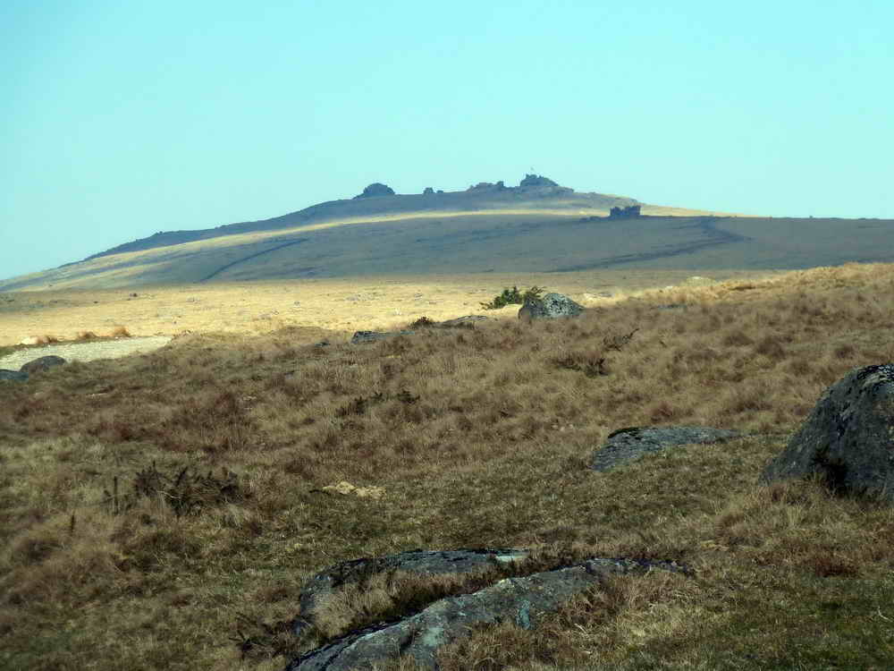
A view to King's Tor.
Arriving at West Mead Quarry, SX 564 746. Owned and worked by Eric Green and his brother until 1966. Eric started at the quarry when he was 16 and it was owned by an uncle. They worked eight-hours a day, using a 4 lb lump hammer. Latterly, they brought granite from Merrivale and worked it here, making headstones and kerb stones. Later, they bought a compressor to make the hard work easier.
Before reaching the quarry, we saw an old explosives store at SX 56541 74837 � 2 metres. This one was rather wet nowadays, unlike a second one seen later (see three photos below).
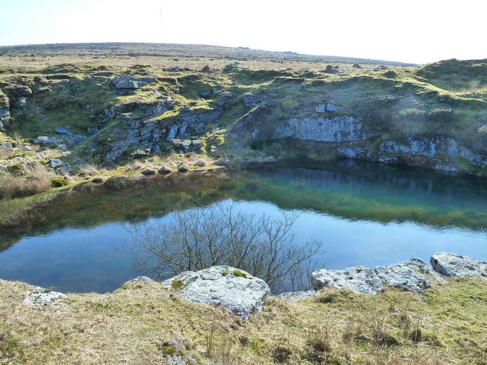
Looking into the quarry, now flooded .....
Moor Strollers with Four Winds behind, with Little Staple and Great Staple Tors behind, also with Roos Tor to the right.
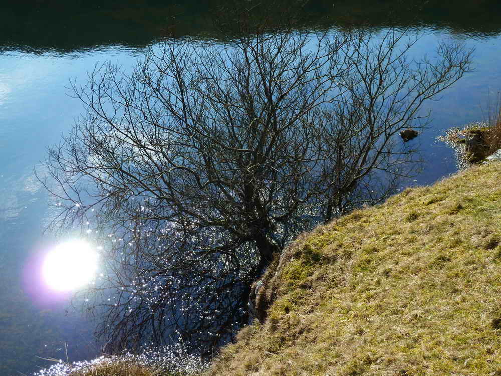
A vaguely artistic attempt, with the sun reflected in the water!
Eric Green maintained that granite DOES have a grain .....
..... and that it always beds parallel to the ground, but that it can be split in most directions.
Red Cottages, SX 566 747 ..... a row of paired gate posts can be seen on the right ..... there were 6 buildings with 2 dwellings in each, painted with red lead, built 1847. In 1861 (the census) there were 50 adults and 38 children living here, with 267 souls in the area.
Another view .....
Ditto .....
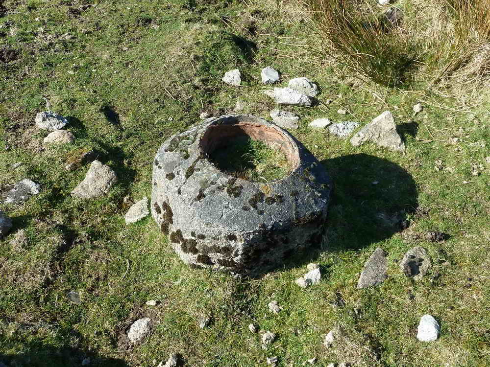
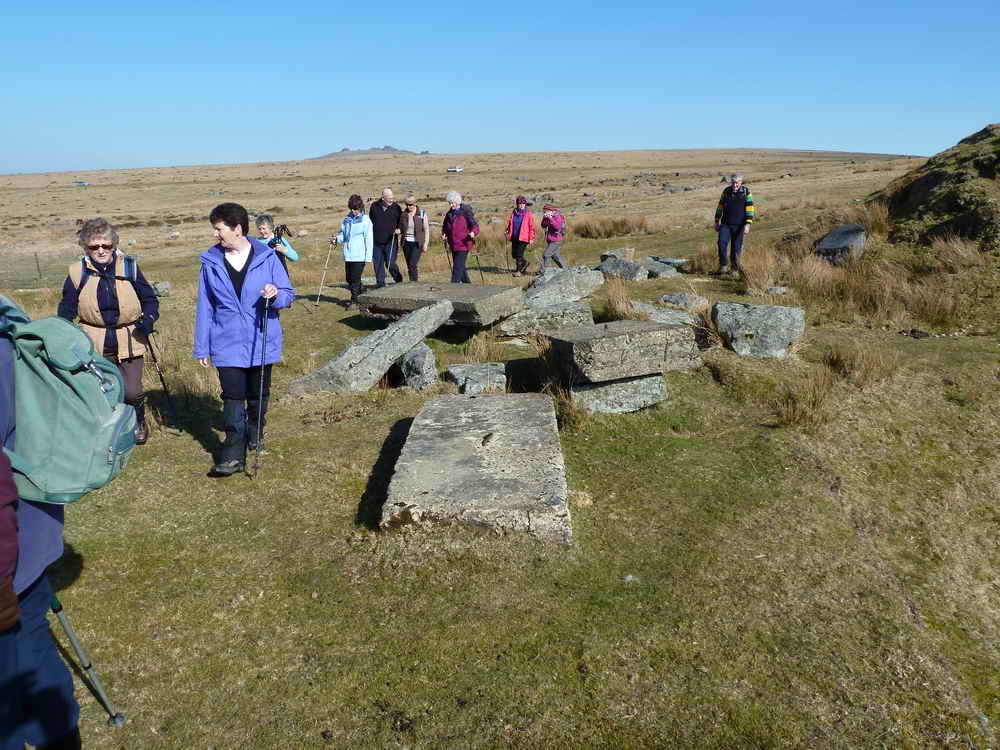
The remains of the bed of cement for a chimney pot .....
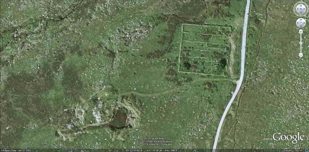
A Google Earth image of West Mead Quarry (bottom, left of centre) and Red Cottages (right); the scale bar (bottom left) is 114 metres.
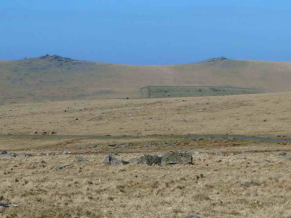
Looking to Great Staple Tor (left) and Roos Tor (right), seeing the edge of enclosed fields extending up the slopes, the wall corner being at SX 547 760.
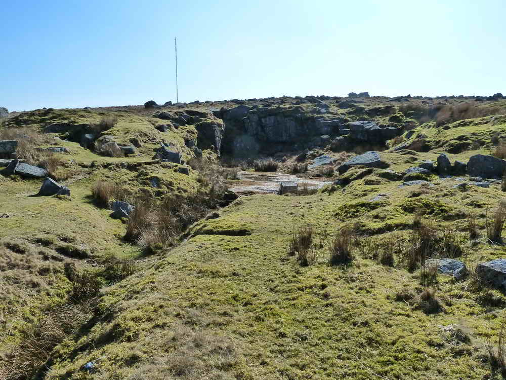
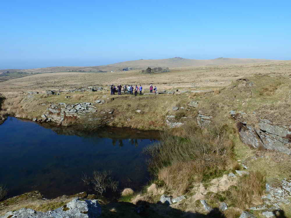
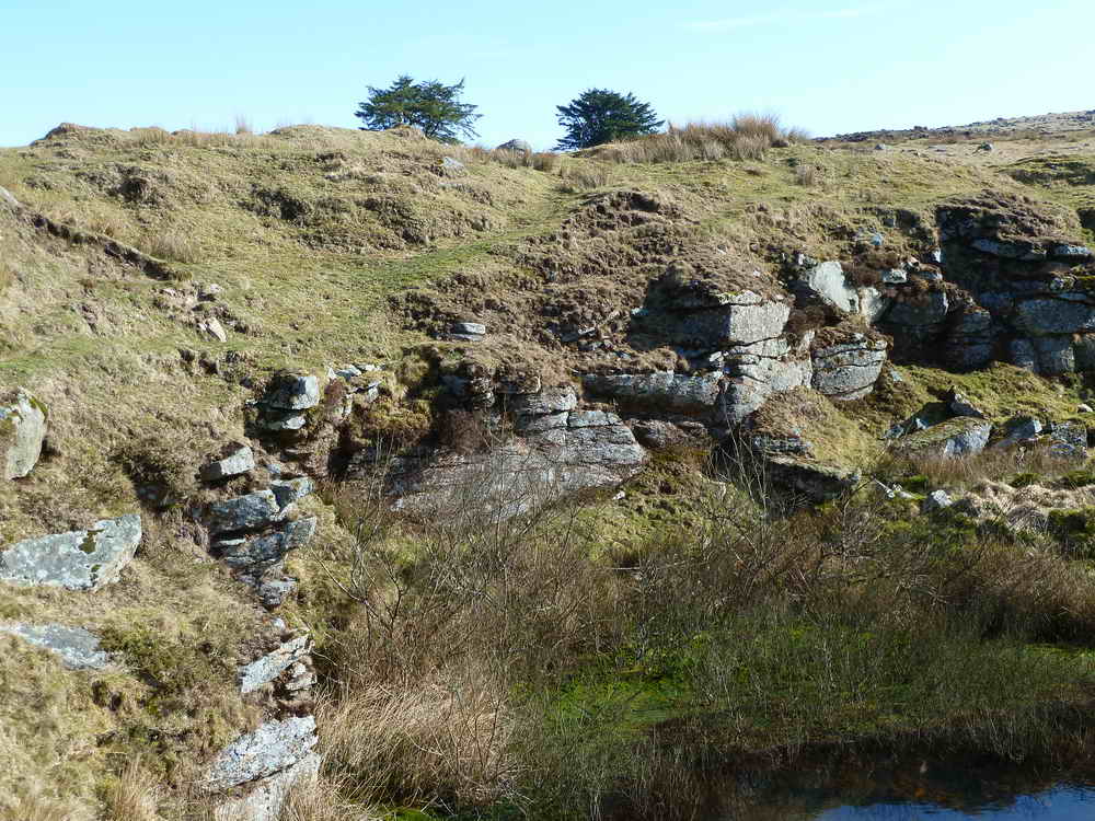
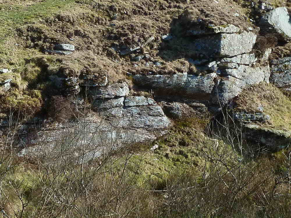
Hill 60 Quarry, SX 569 747 ..... with the North Hessary Tor TV transmitter behind .....
General view looking into the quarry .....
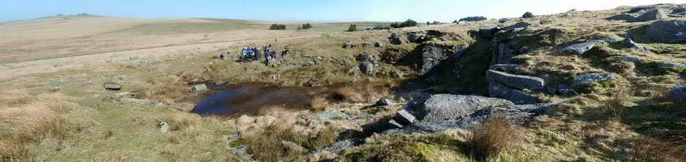
Click on the photo to see a full-size panorama version.
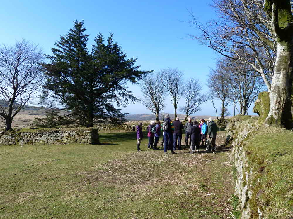
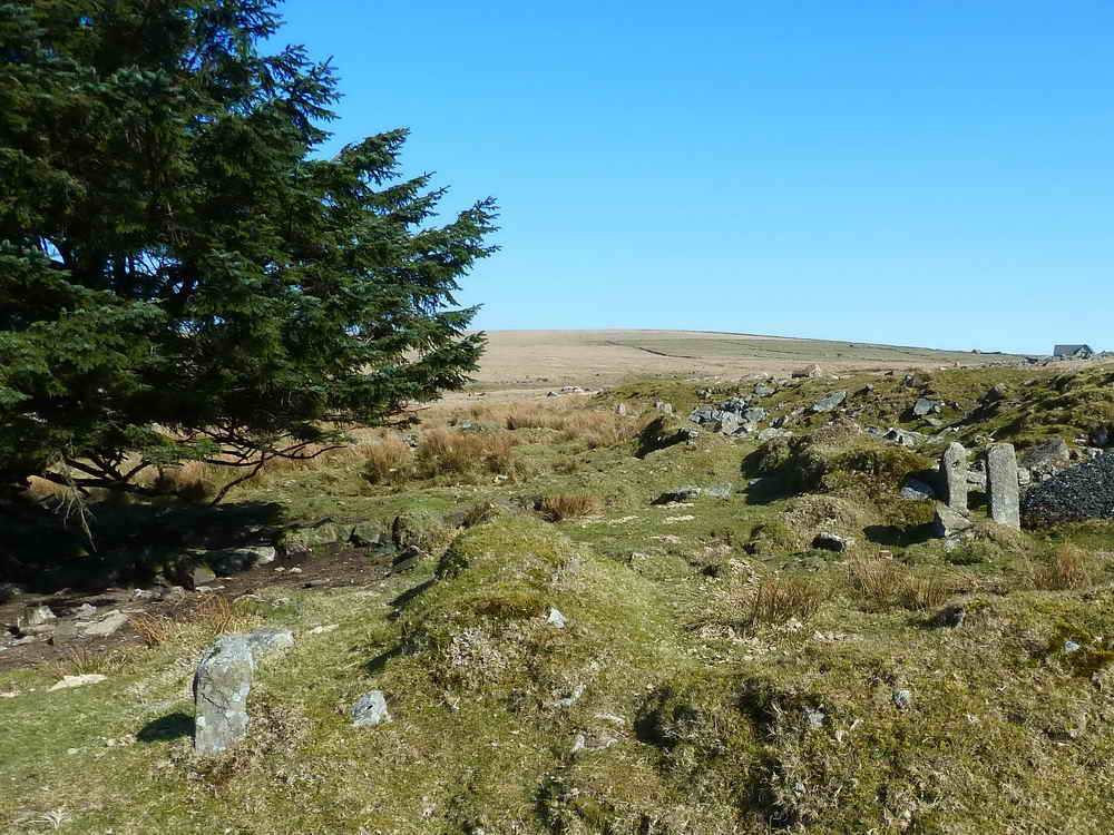
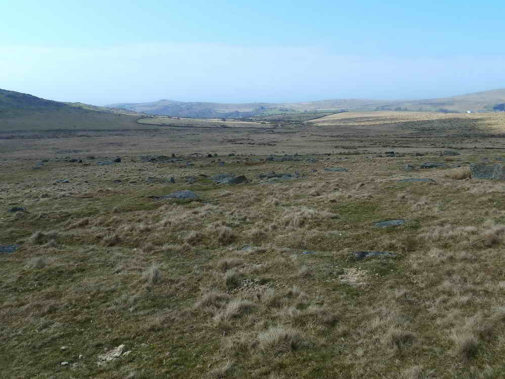
Moor Strollers, looking north-east towards a patch of trees near Rundlestone.
 |
 |
|
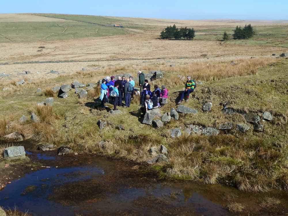
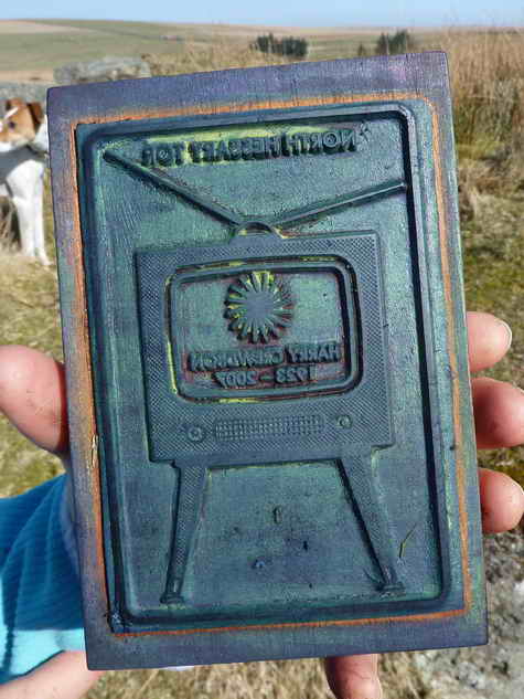
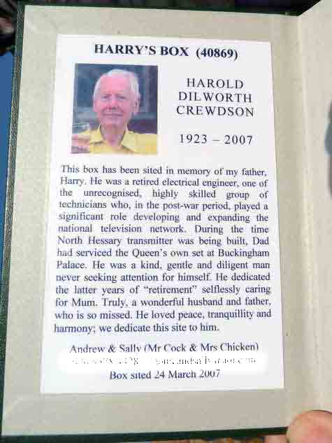
Harry's Box 40869, "North Hessary Tor", found on the way.
|
|
Approaching Hollow Tor, SX 571 745, elevation 470 metres (1541 feet) ..... worked for its granite until 1919 .....
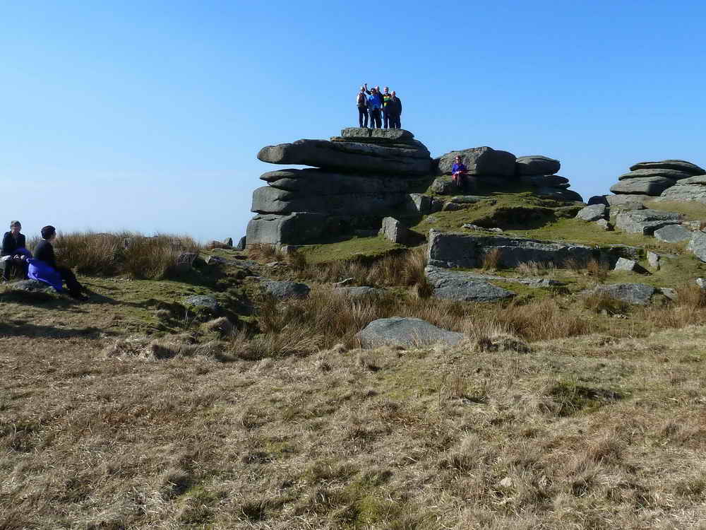
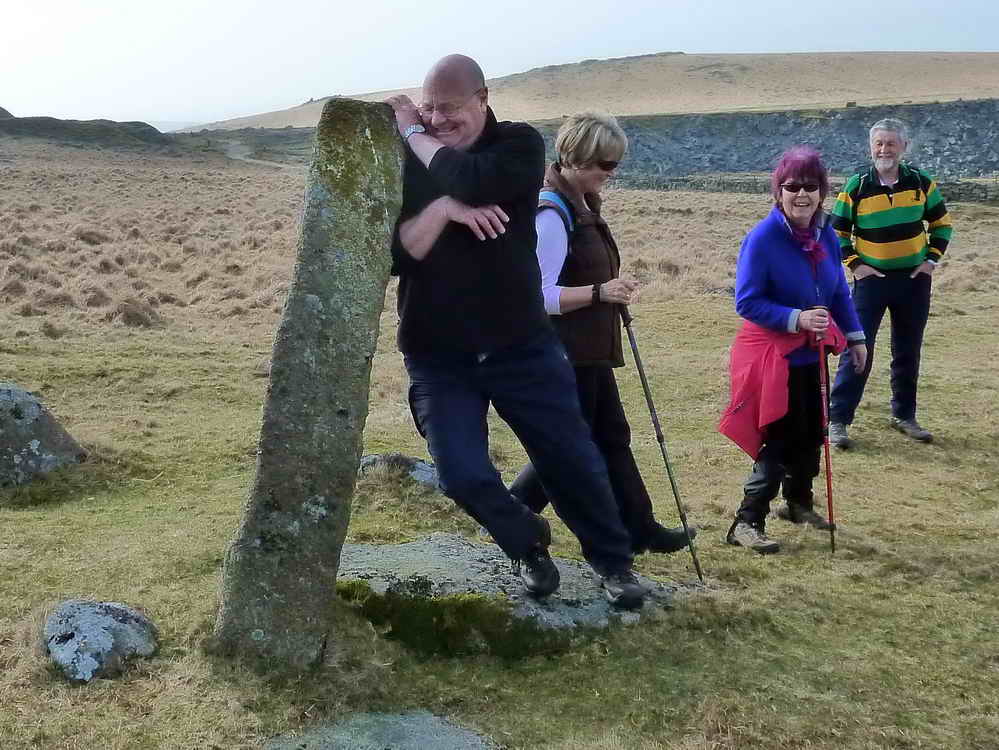
Intrepid followers of the Walks for the Bewildered merrily atop Hollow Tor .....
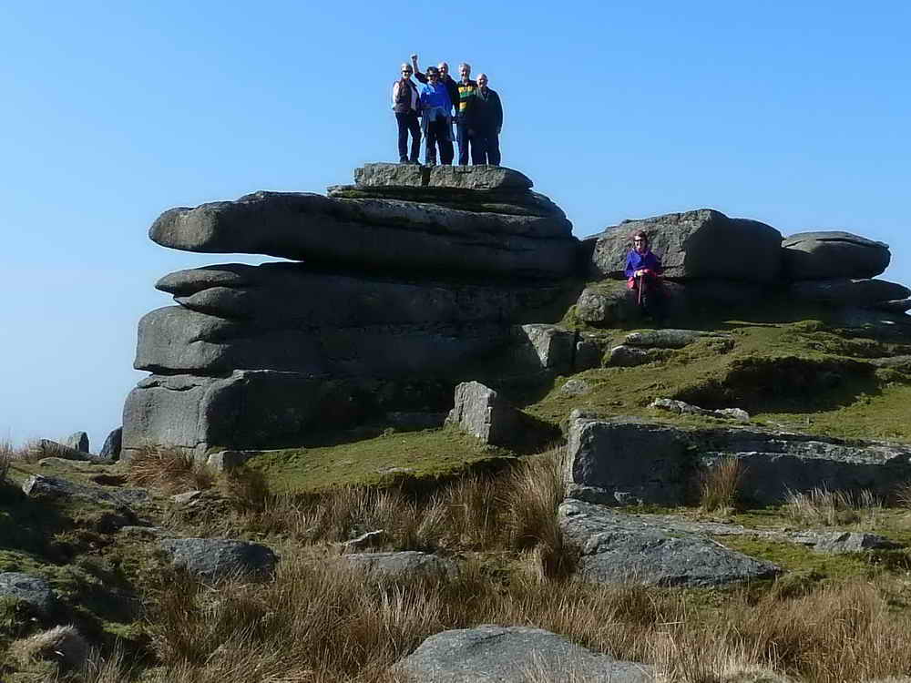
A closer view - just to make sure!
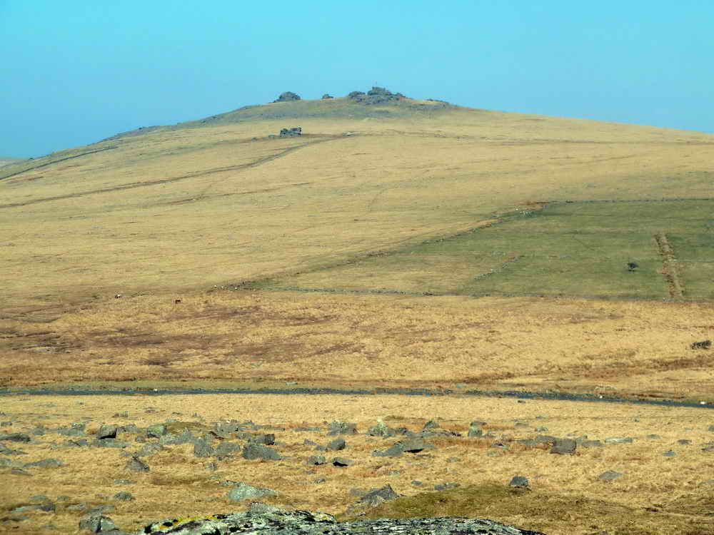
Zomed view to Great Mis Tor, SX 562 769, elevation 538 metres (1765 feet), with the diminutive Little Mis Tor in front.
Hugh on top of Hollow Tor, with North Hessary Tor behind .....
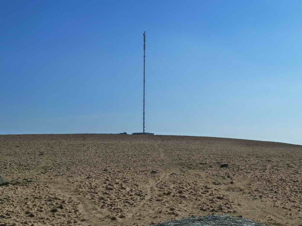
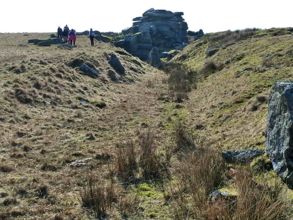
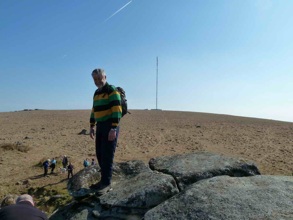
North Hessary Tor TV transmitter.
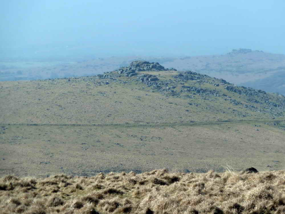
King's Tor.
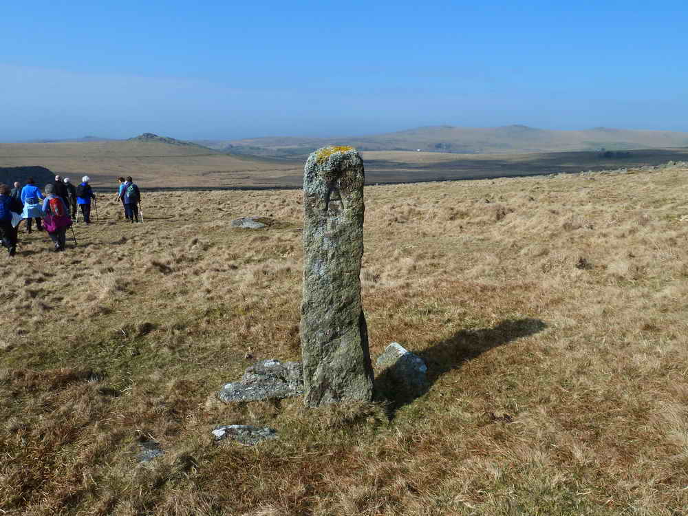
A TA stone, SX 56787 73923, one of several across this part of the moor that mark an old packhorse track from Tavistock to Ashburton .....
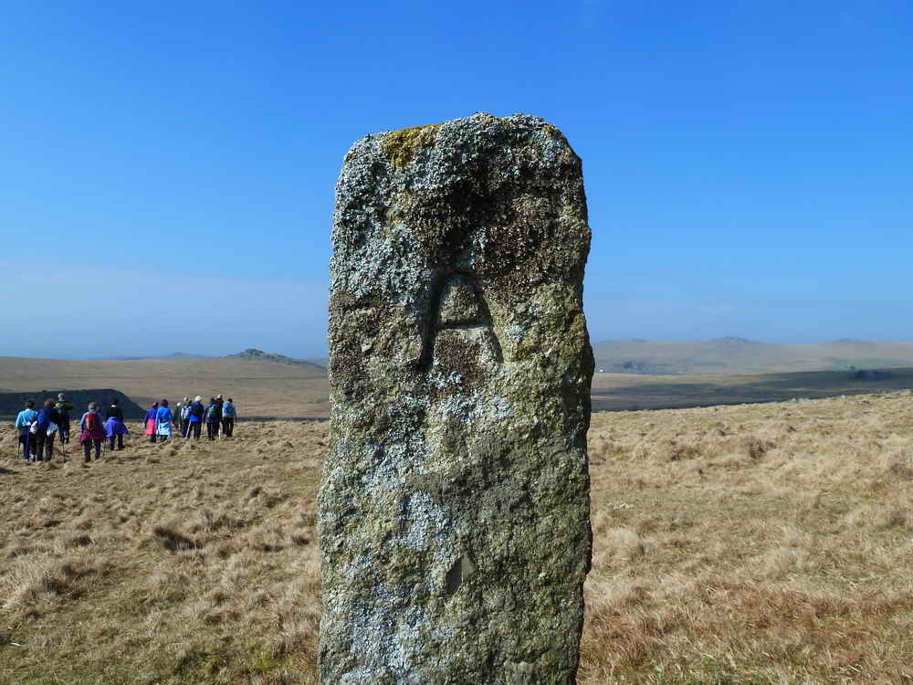
A - signifying this side to Ashburton .....
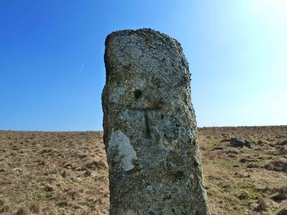
T - this faces Tavistock .....
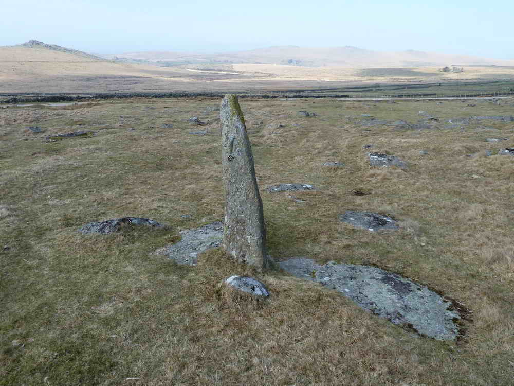
A nearby TA stone, in slightly poorer condition .....
..... in need of straightening .....
Zoomed view to another TA stone lost in a blocked gateway at Yellowmeade Farm, see the taller stone, extreme right of photo, just the right of the wooden post, see the "A"?
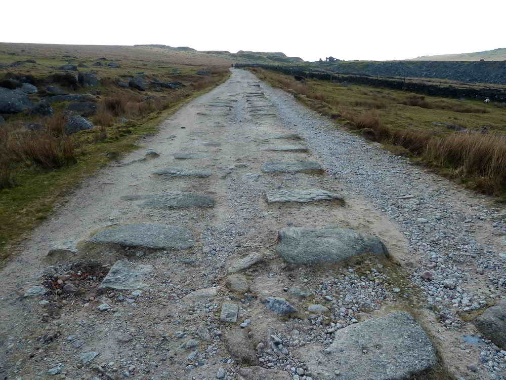
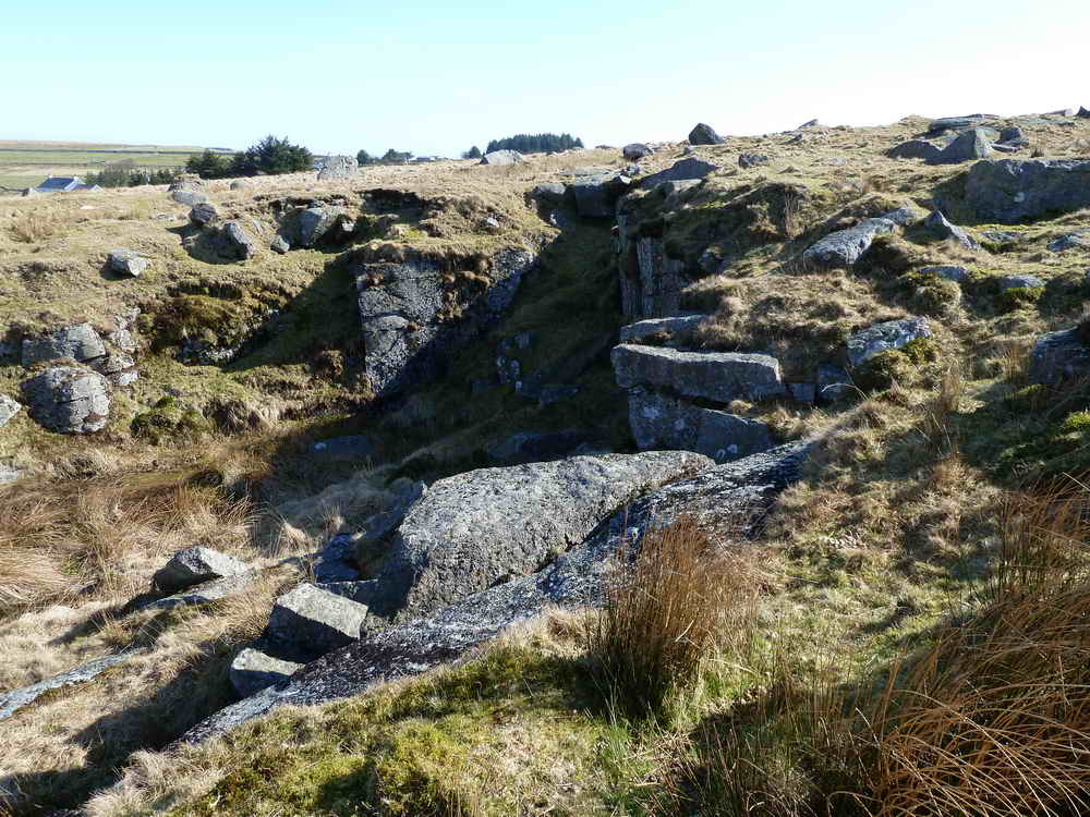
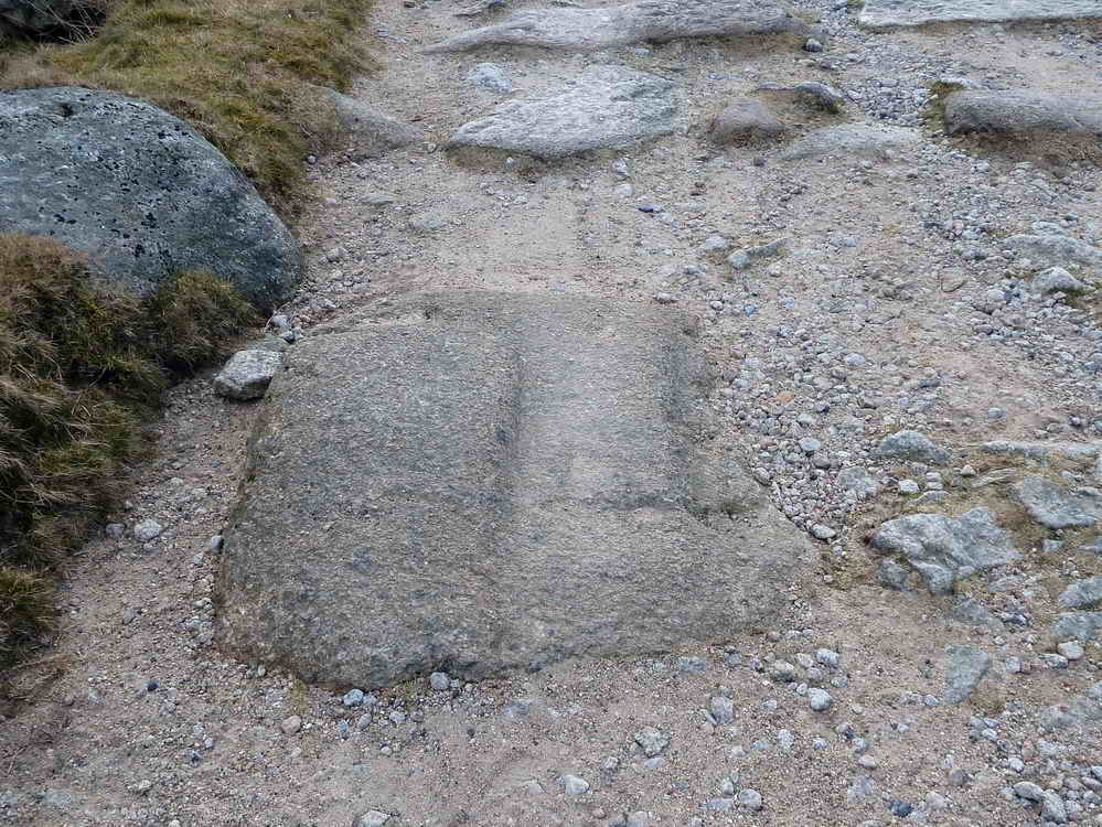
Along the track towards Foggintor and its large quarry, granite sleepers of Sir Thomas Tyrwhitt's horse-drawn tramway (Royal Assent granted in 1821), complete with grooves and fastening holes to hold the rails - the old tramway from Foggintor Quarry .....
Foggintor / Hill / Royal Oak Quarry - started by 1820�s, owned by Pethick Brothers by 1900, heyday 1840�s employed hundreds of men, closed 1906 and the operations concentrated on the more modern Swell Tor. Hill Cottages, at the quarry � by 1850 there were 10 dwellings here, all had very productive gardens, washing lines and privies on the Big Tip.
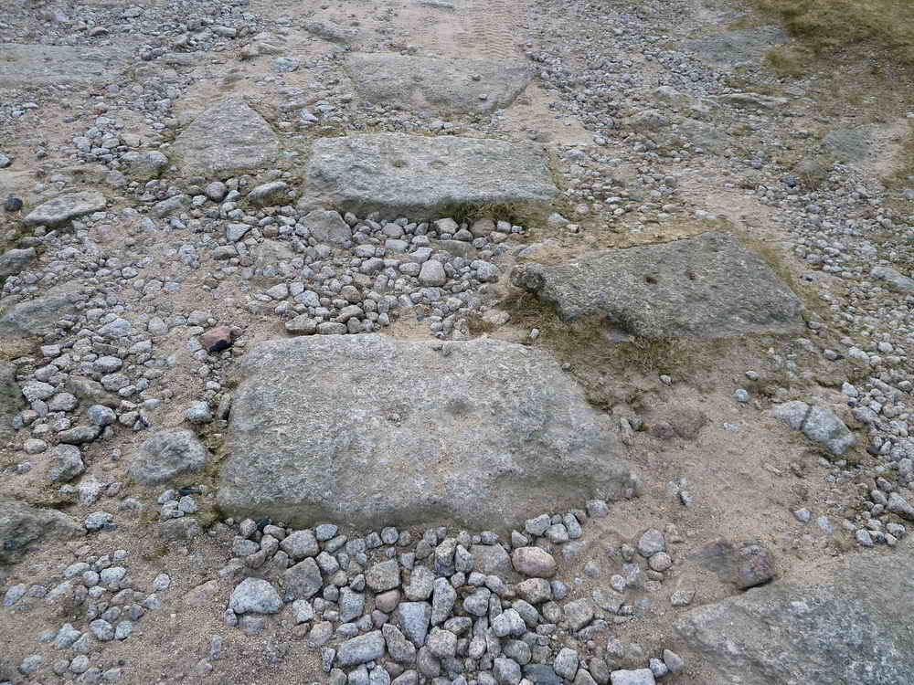
Note paired holes for fastening iron rails ..... this point shows a siding or passing loop coming off to the right of the main line .....
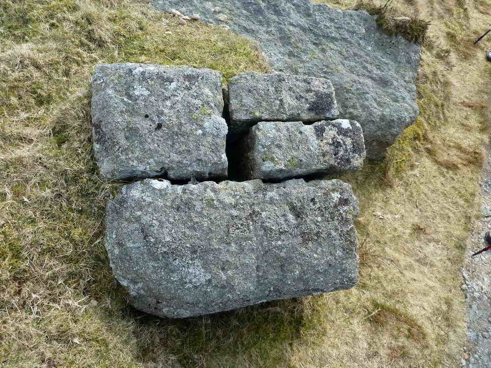
The Cake Stone, SX 56711 74115, a piece of granite that was split to make granite setts that were left unfinished: so-called after Battenburg cake.
Some setts also have grooves and paired holes in them to accommodate the rails. This section runs past Yellowmeade Farm � last farm to be enclosed on Walkhampton Common � 1860, farmed from then until 2010 by generations of Coles. Sold by Maristow Estate.
Another view of Great and Little Mis Tors with cloud shadows passing over them.
A settlement at SX 564 744, the map shows three round houses in it.
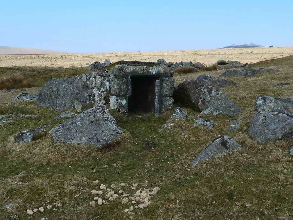
Explosives store, SX 56450 74621, these stone cupboards originally had iron doors with locks on them .....
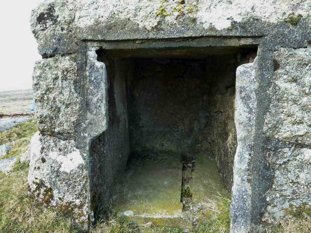
Looking inside .....
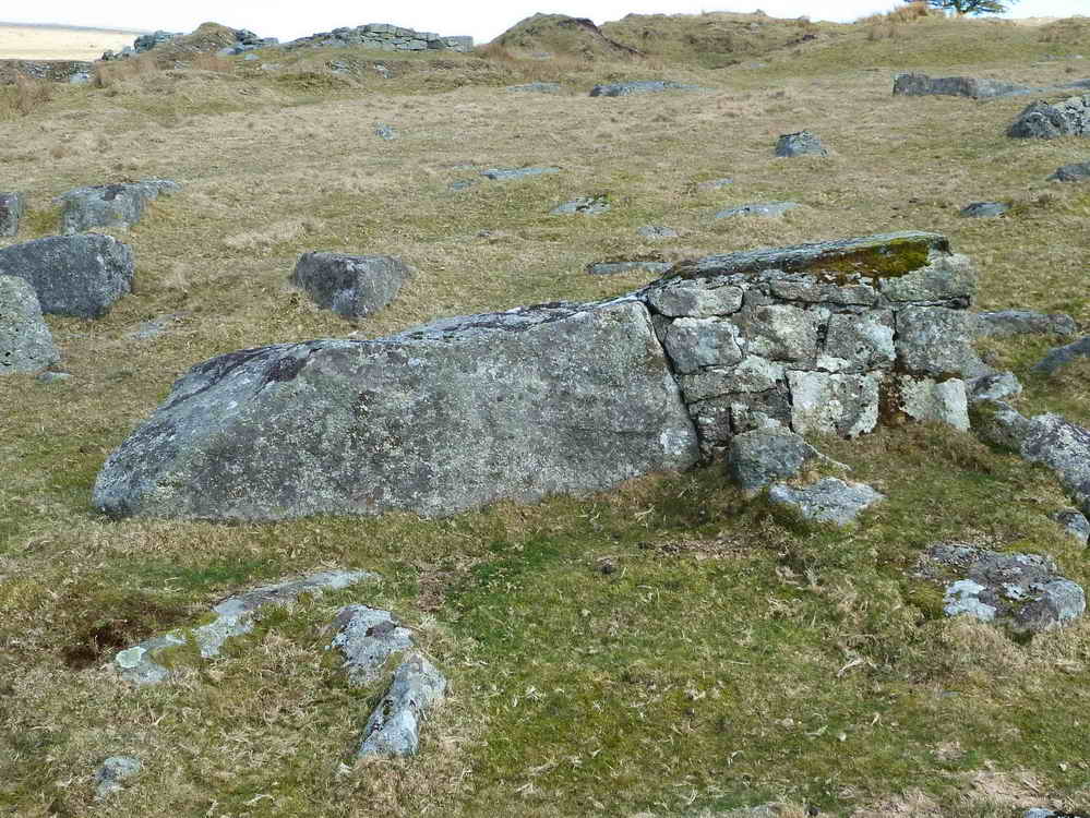
Side view, the store is the stone-built section on the right, it leans on a boulder.
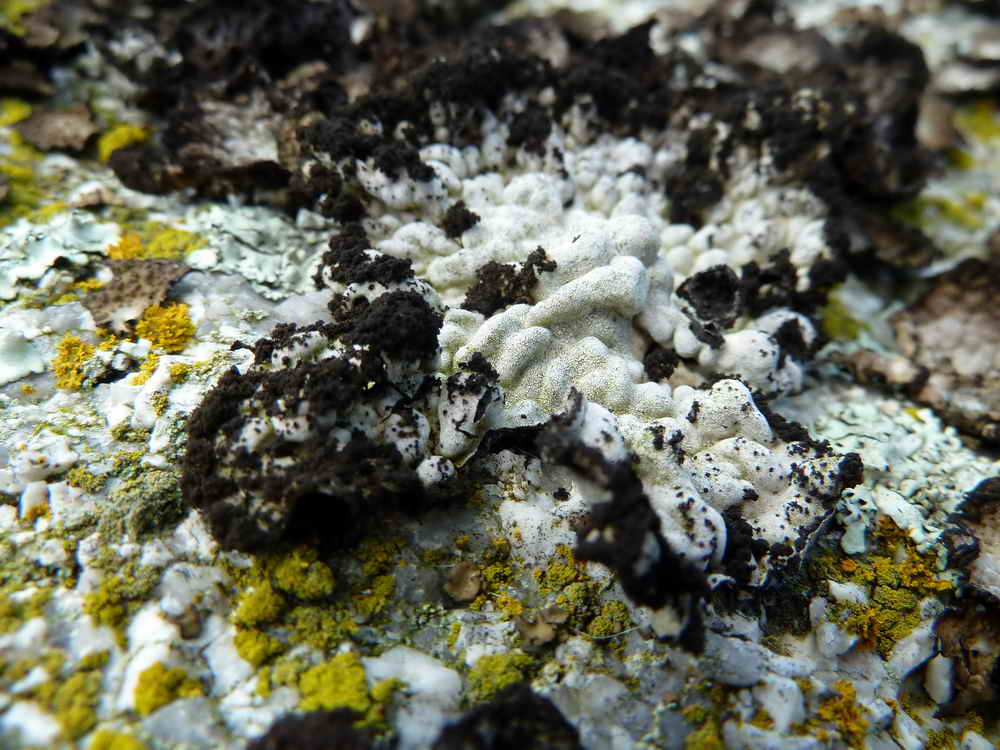
One stone we passed was covered by a flaky lichen .....
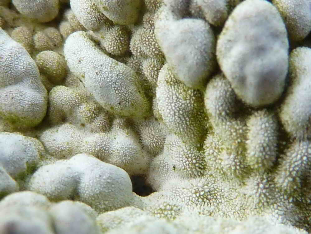
Close-up of the lichen surface.
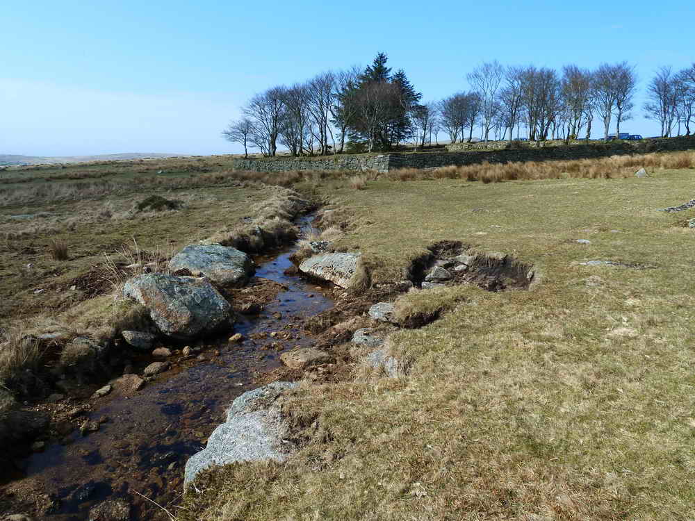
Longash Leat approaching Four Winds .....
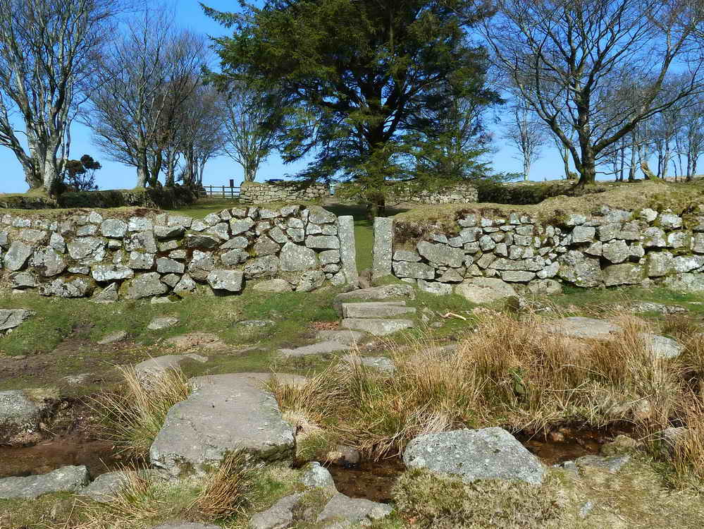
Clapper bridge over the leat with a narrow entrance into the old school house garden and playing field that was designed to keep sheep out .....
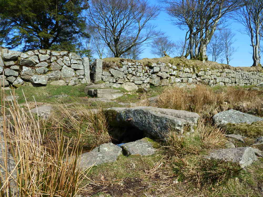
Another view - look at the clapper bridge .....
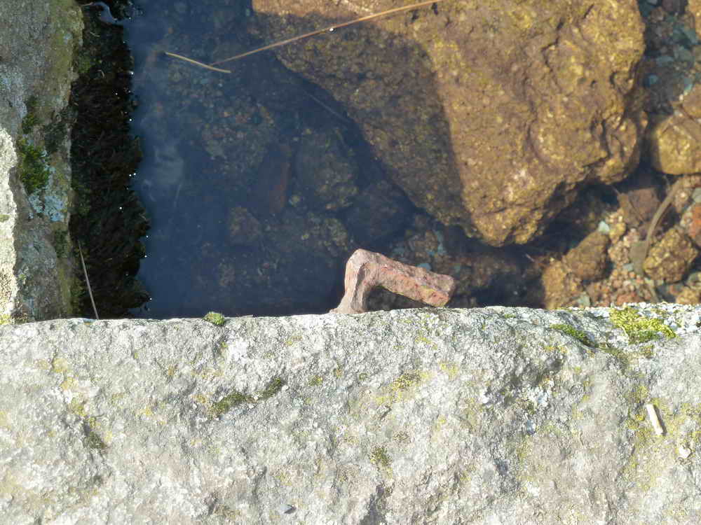
Part of it was once a gatepost!
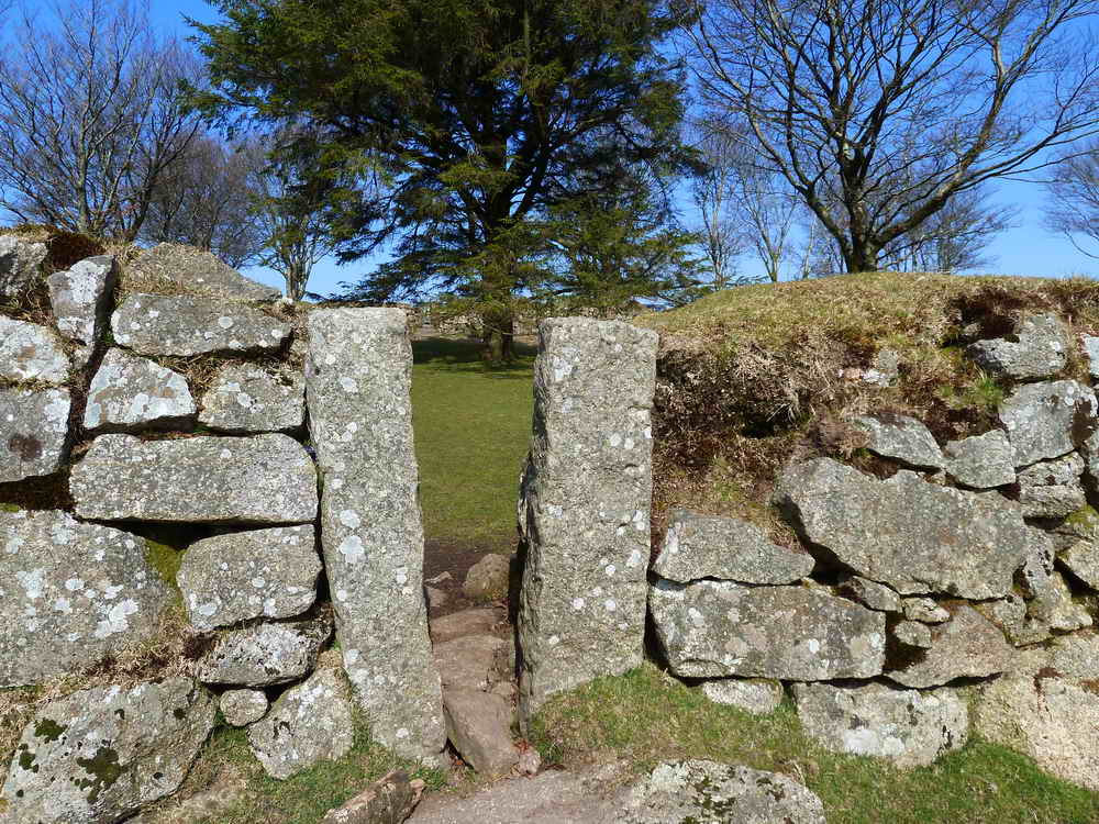
Close-up of the narrow entrance ..... looking in .....
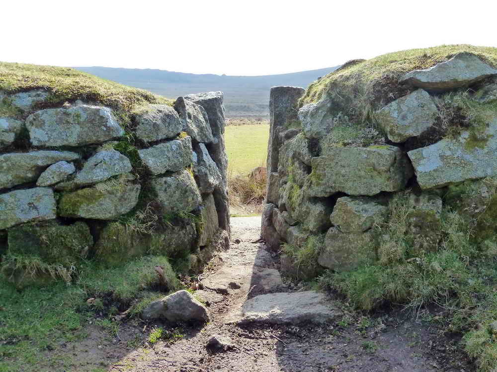
Inside the garden, looking out.
MAP: Red = GPS satellite track of the walk.
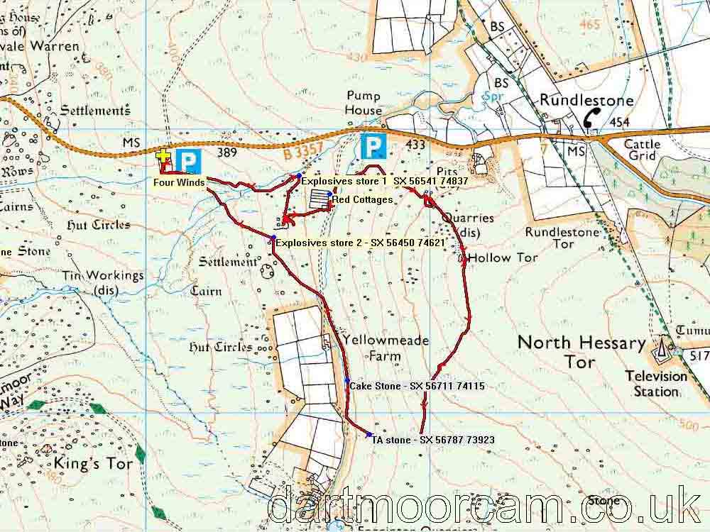
Ordnance Survey © Crown copyright 2005. All rights reserved. Licence number
100047373.
Also, Copyright © 2005, Memory-Map Europe, with permission.
This walk can be approached from Tavistock or from the Princetown direction on the B3357, parking a little east of Merrivale at the Four Winds car park, marked by the yellow cross and the P symbol on the map. The parking area is marked by a stand of trees.
Statistics
Distance - 4.72 km / 2.9 miles.
All photographs on this web site are copyright
©2007-2016 Keith Ryan.
All rights reserved - please
email for permissions