![]()


This walk: 2011-10-26. Pony, rainbow, Bellever Tor, Sawdye's Newtake, Dunna Brook, slotted gateposts, pintle, Laughter Tor, Loughtor Man, sheepfold, Bill Munro Memorial Stone, Laughter Tor Cross, Haytor Rocks, Postman's Track, Brimpts North Tin Mine, Judge's Seat, Smooth newt.
A similar route was followed on 16 Sept. 2009.
Walk details below - Information about the route etc.
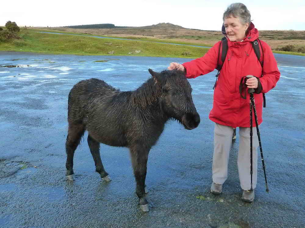
One young Dartmoor pony haunting the car park - we have seen more here e.g. 16 Sept. 2009.
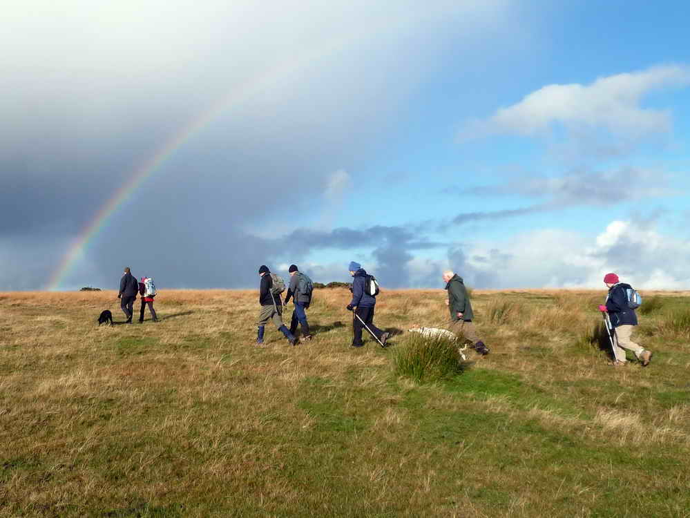
Setting off on a showery day, on Dunnabridge Down; Dunnabridge = bridge on the down.
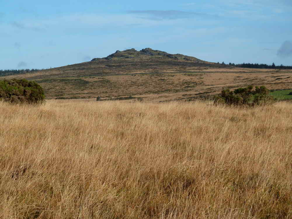
Bellever Tor, at SX 644 764, elevation 443 metres (1453 feet).
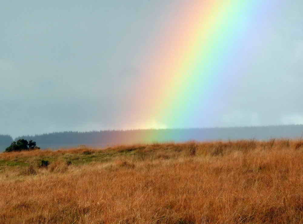
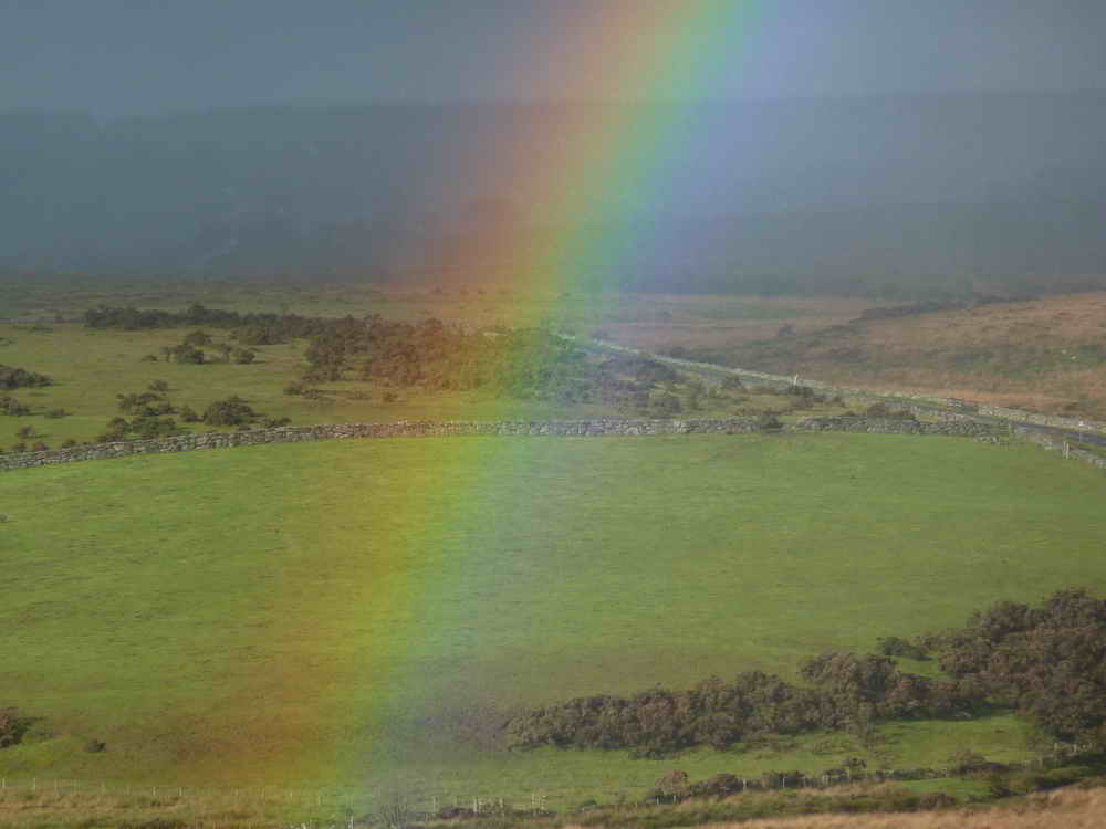
There's a pot of gold over there, somewhere .....
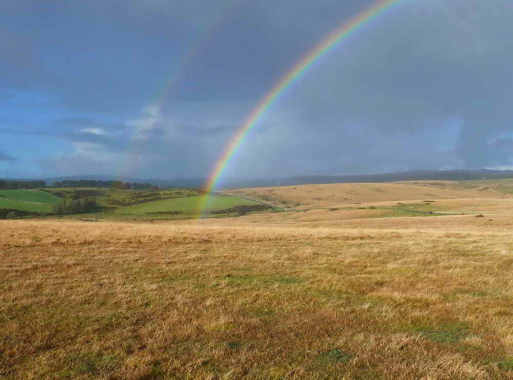
Hint of a double rainbow. The UCAR - University Corporation for Atmospheric Research web page about rainbows says:
About Rainbows: "Sometimes we see two rainbows at once, what causes this? We have followed the path of a ray of sunlight as it enters and is reflected inside the raindrop. But not all of the energy of the ray escapes the raindrop after it is reflected once. A part of the ray is reflected again and travels along inside the drop to emerge from the drop. The rainbow we normally see is called the primary rainbow and is produced by one internal reflection; the secondary rainbow arises from two internal reflections and the rays exit the drop at an angle of 50 degrees� rather than the 42�degrees for the red primary bow. Blue light emerges at an even larger angle of 53 degrees�. This effect produces a secondary rainbow that has its colors reversed compared to the primary, as illustrated in the drawing, adapted from the Science Universe Series Sight, Light, and Color."
Zomed view.
Click the photo to see a larger version. This is the area of Sawdye's, Sam's and Black Newtakes.
Zoomed view to Bellever Tor, complete with trig point.

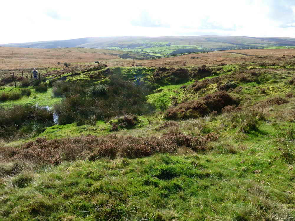
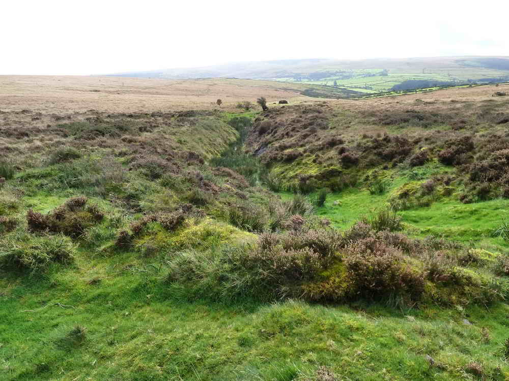
In Sawdye's Newtake, the rising of the Dunna Brook. Contouring around this area is Brimpt's Mine Leat (not on the current 1:25,000 map) that takes off from the Cherry Brook.
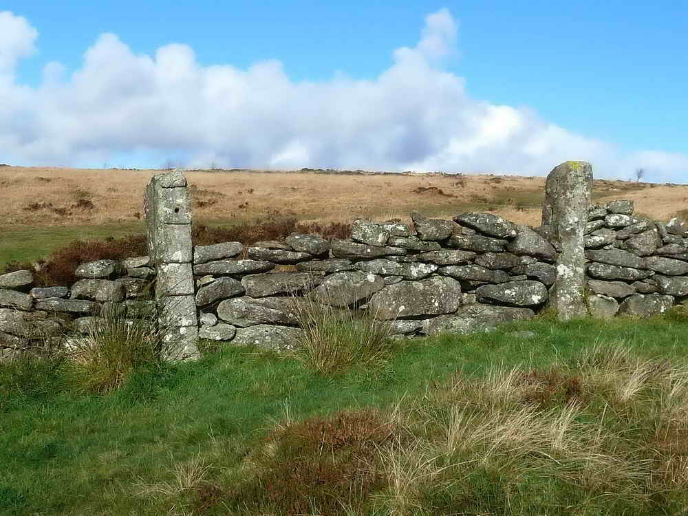
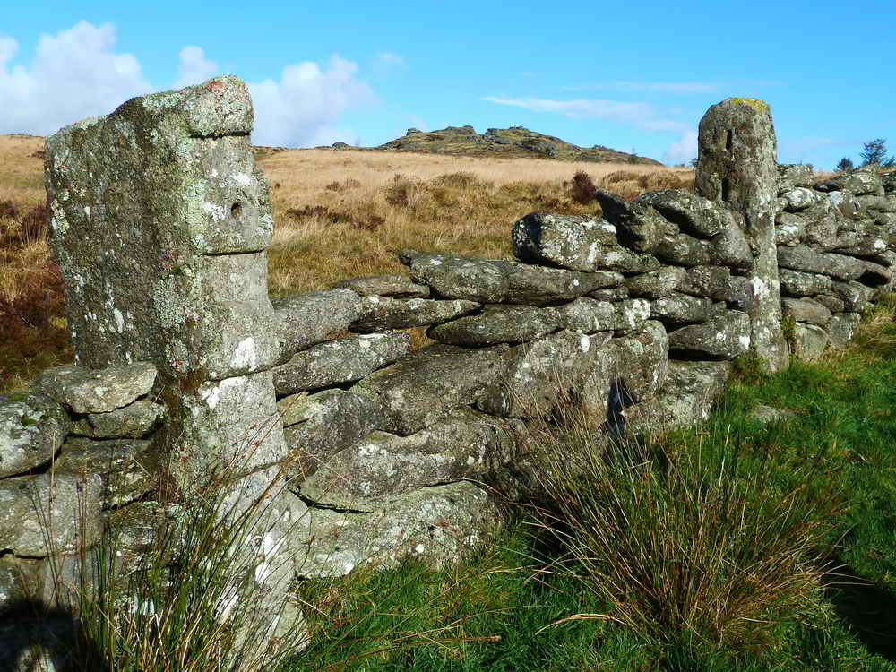
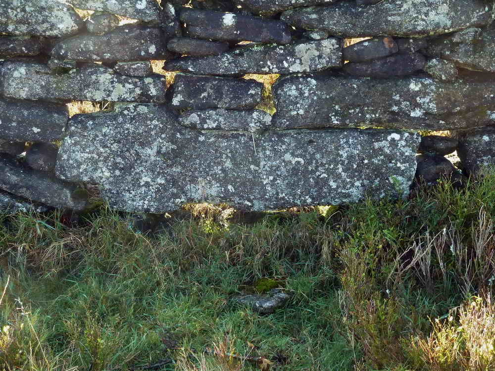
A blocked up gateway, with interesting gateposts .....
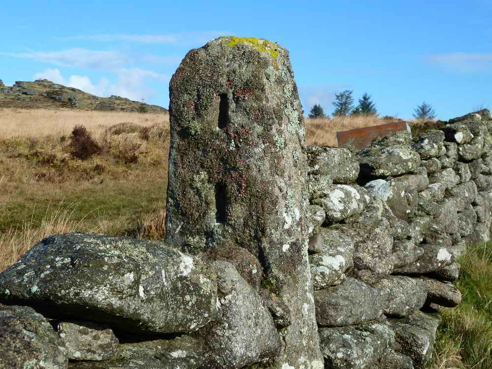
This post actually has five slots .....
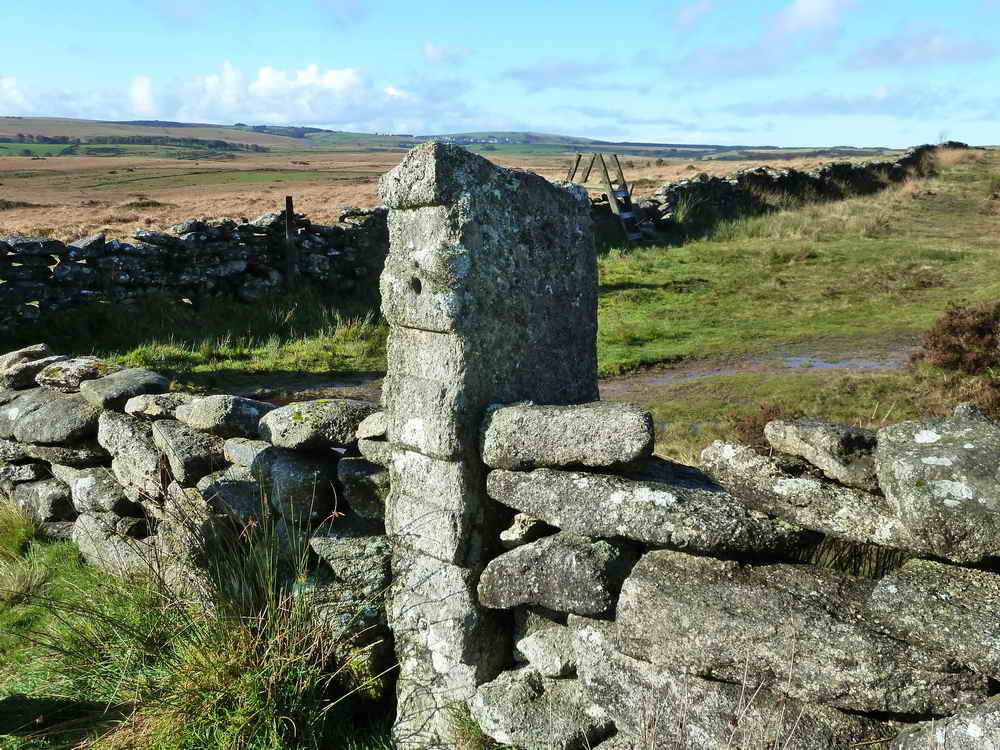
The other post bears five grooves, possibly a vertical rod held them in place?
Bellever Tor through the old gateway.
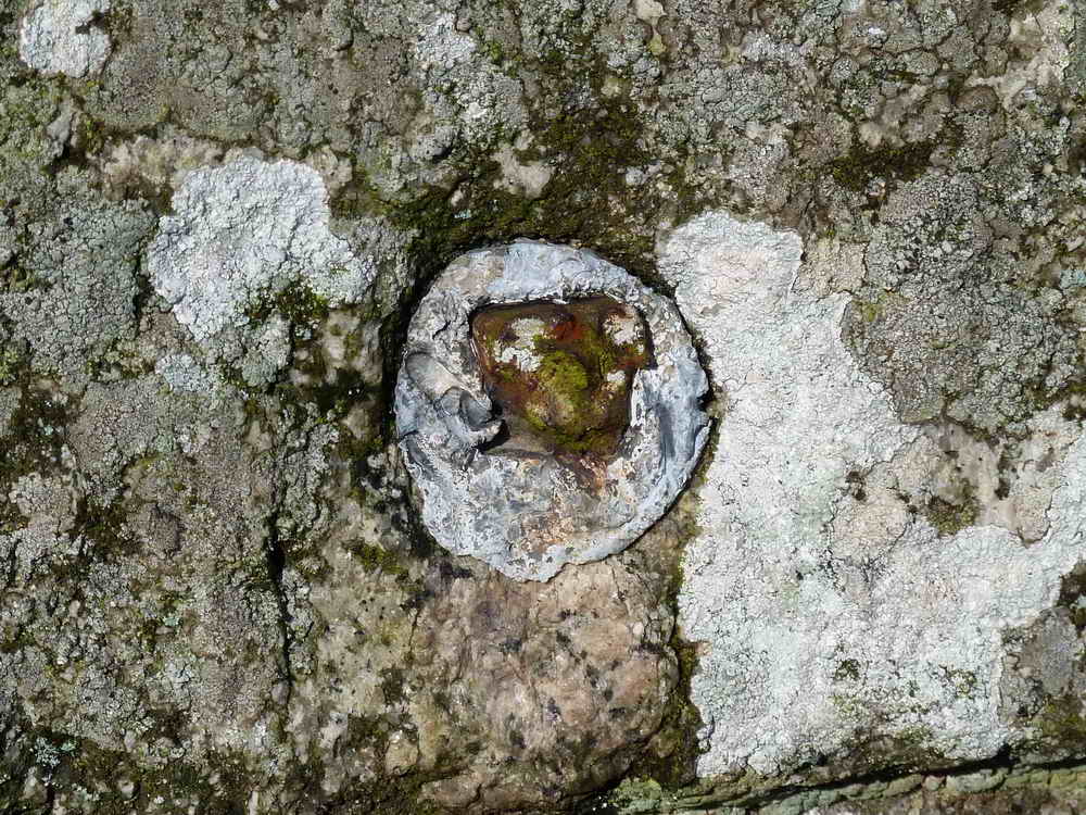
The broken off iron pintle (gatehanger) was set in lead.
Another view of the tor.
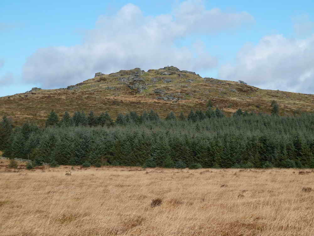
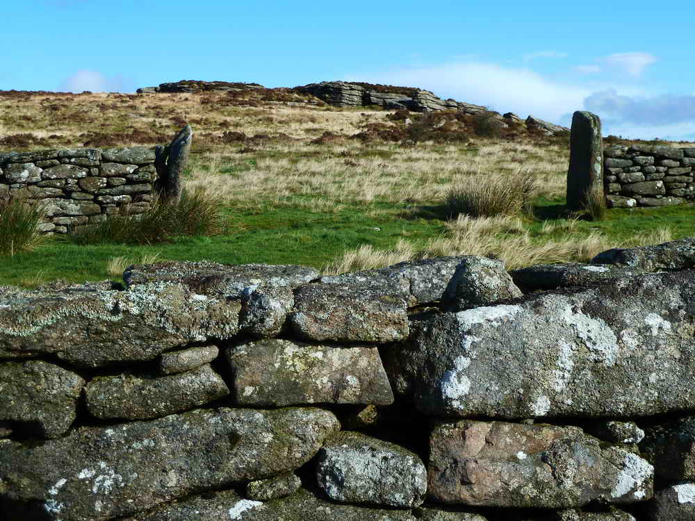
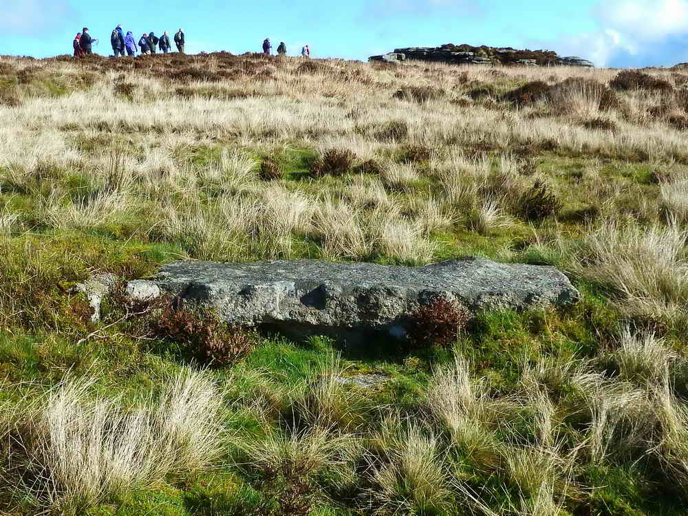
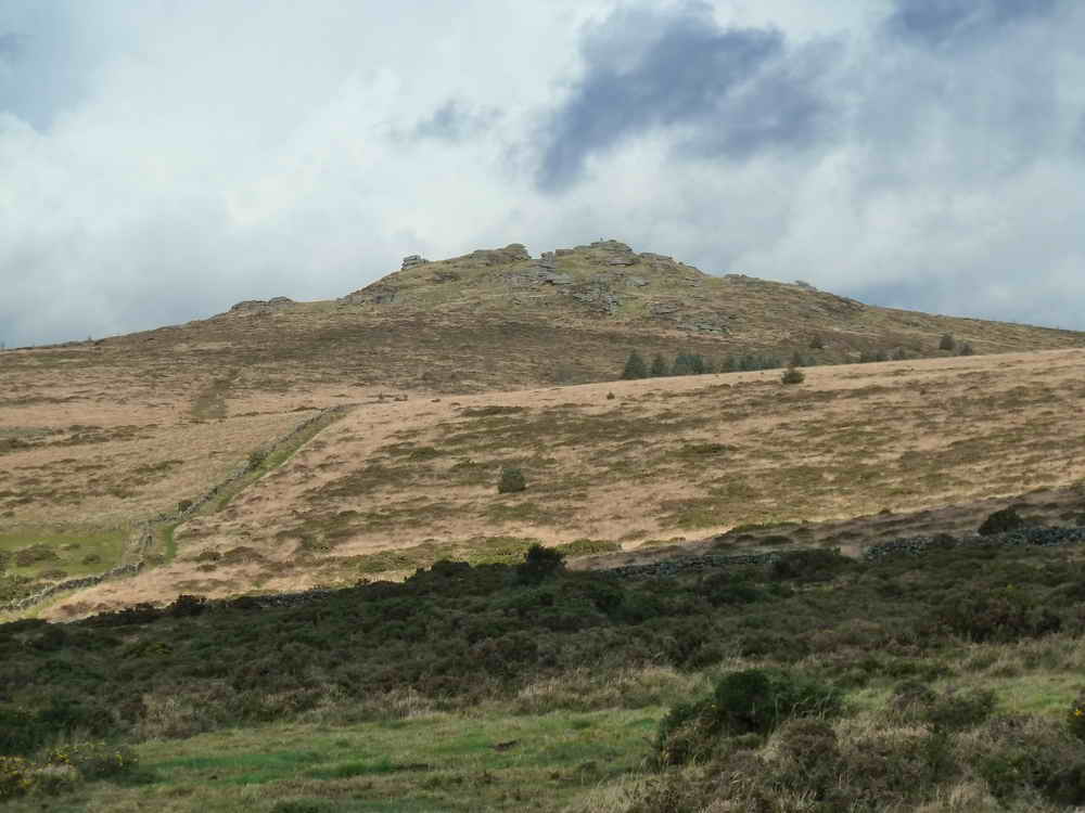
Looking up to Laughter Tor, SX 652 756, elevation 420 metres (1377 feet).
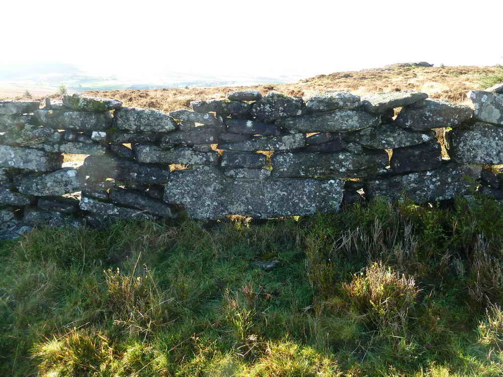
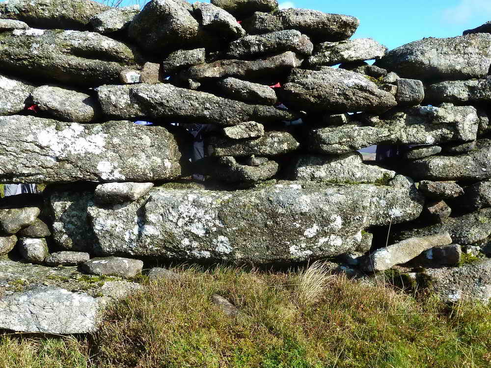
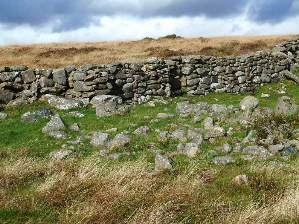
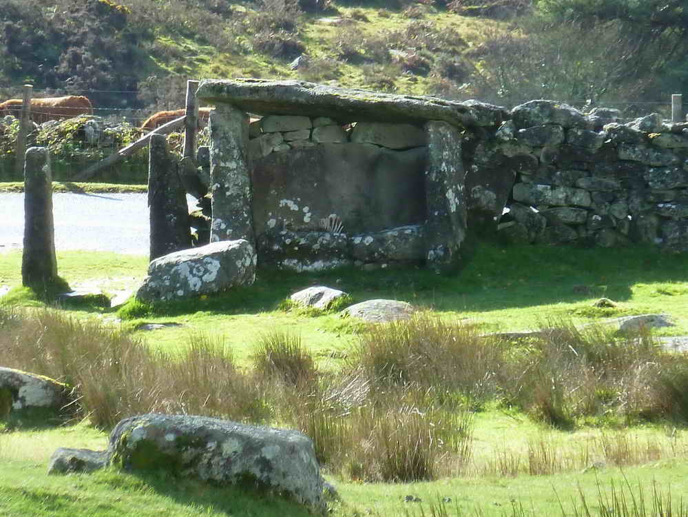
Laughter Tor sheepfold ..... looking at the northern wall ..... SX 6526 7559 .....
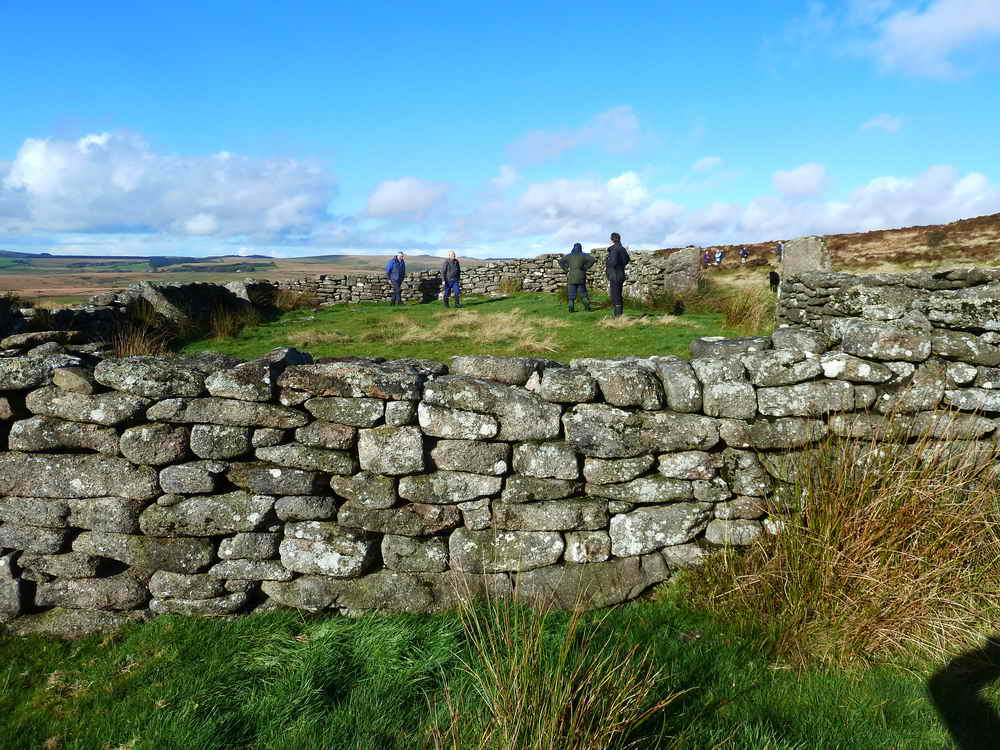
Looking over the eastern wall .....
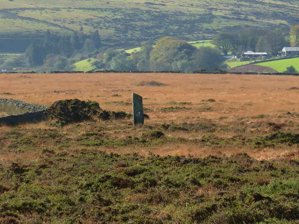
Zoomed view south to Loughtor Man standing stone, SX 65221 75390 .....
Looking across the enclosure up to Laughter Tor ....
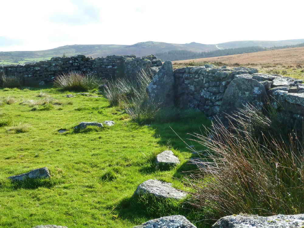
View inside the enclosure.
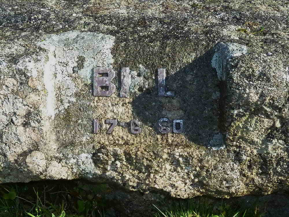
Bill Munro Memorial Stone, SX 65268 75673 .....
Overview.
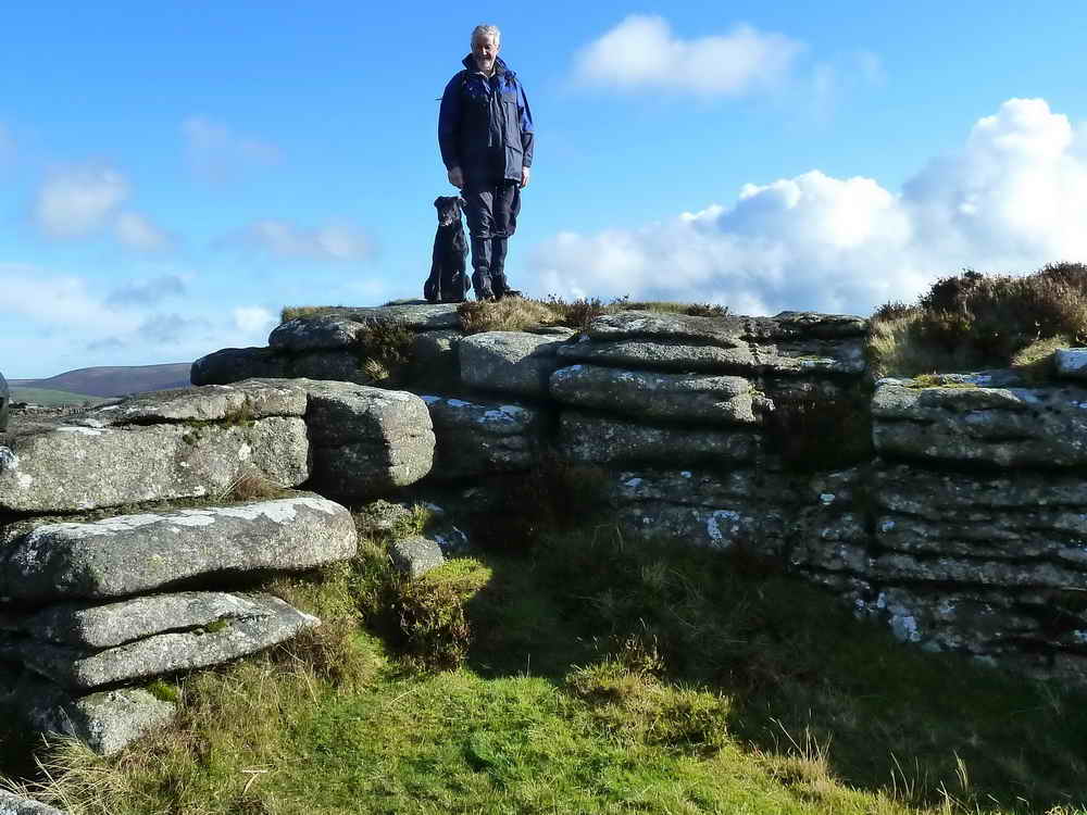
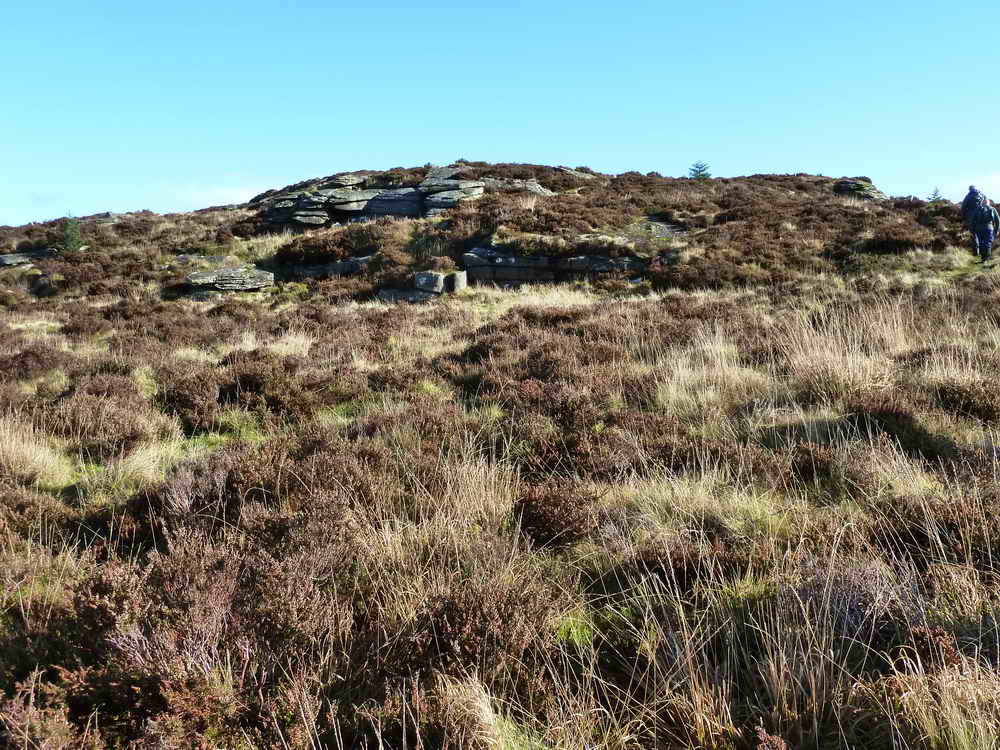
Hugh conquers Laughter Tor, SX 652 756, elevation 420 metres (1377 feet).
Laughter Tor Cross, SX 65419 75791 ..... seen from the north-east side of the wall .....
It is not known if this cross ever stood anywhere, it may be a natural stone or it may have been abandoned in the making ......
From south-west side of the wall .....
There's always one!
The base of the cross, this appears to be shaped into a peg to stand in a socket hole.
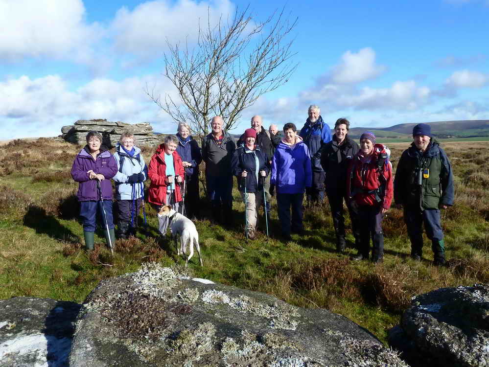
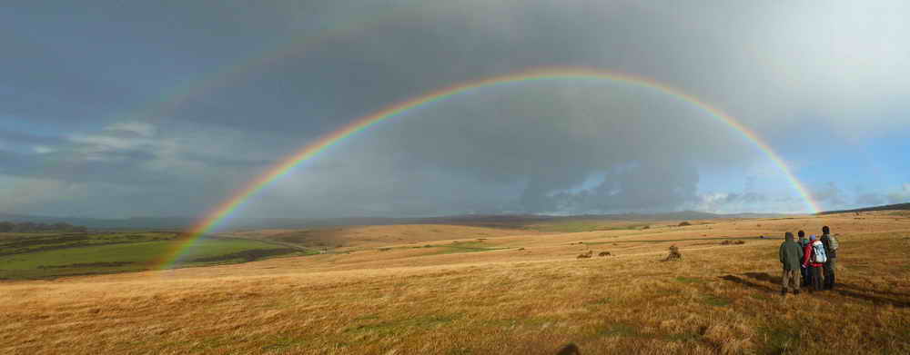
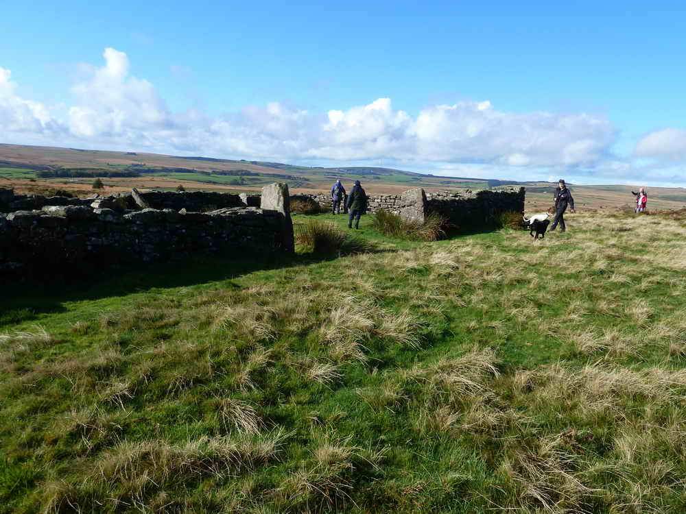
Moor Strollers enjoying the day.
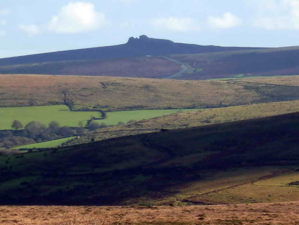
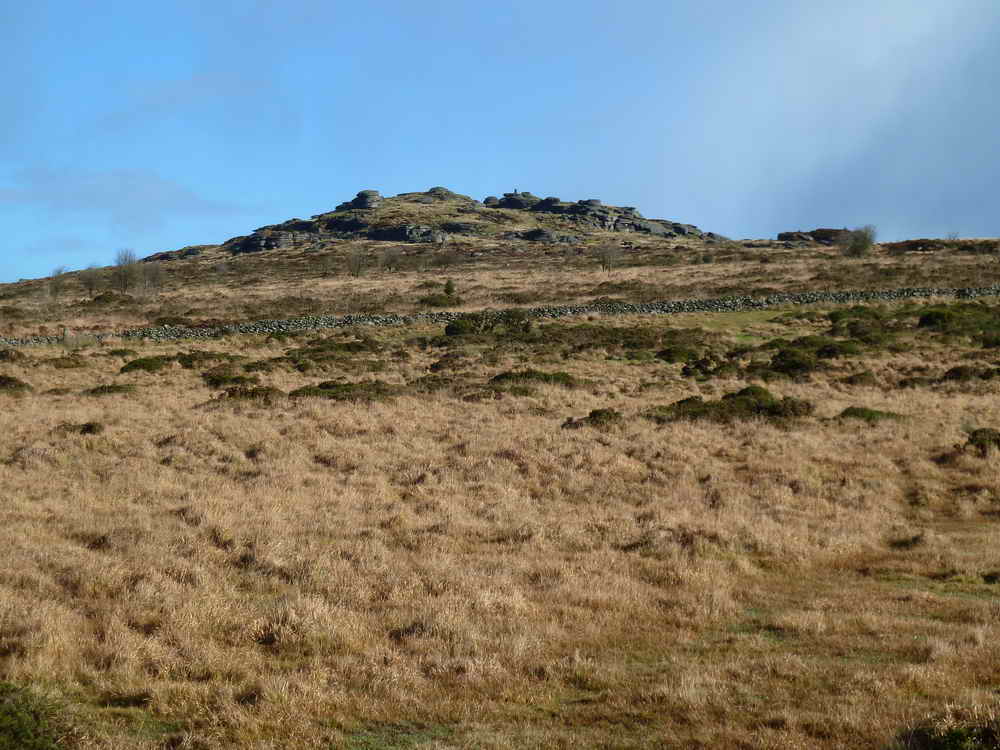
Zoomed (and slightly cropped) view to Haytor Rocks, 10.3 km distant (6 miles).
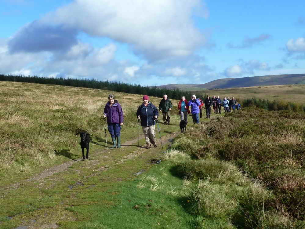
On the Postman's Track - click the link to see a 2:34 minute Path� News film (from 1957) about Postman Jack Bellamy and his horse, Tasker, delivering mail from Postbridge to Laughter Hole Farm. It helps to enlarge the image by clicking the quartered square icon left of the volume control (bottom right). Click "Esc" to return to normal view.
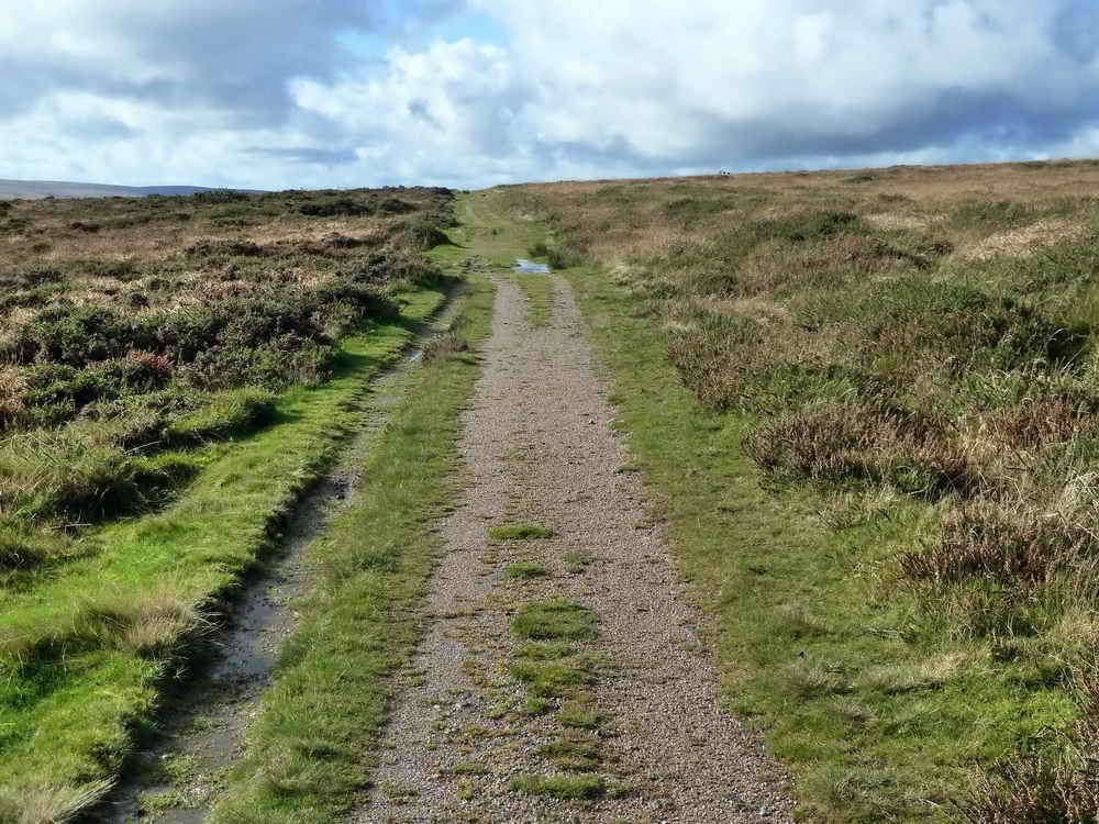
Looking along the track.
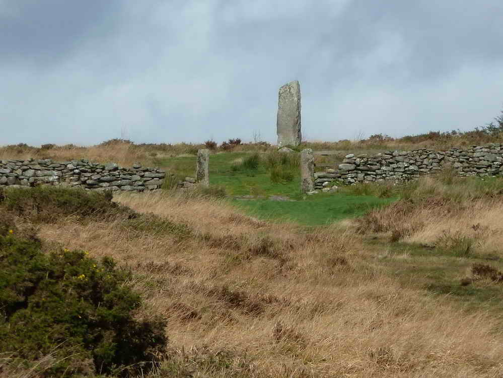
Another zoomed view to Loughtor Man standing stone, this time looking north.
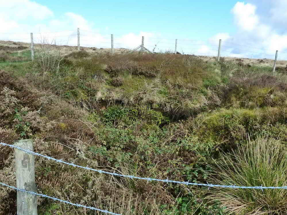
A part of Brimpts North Tin Mine .....
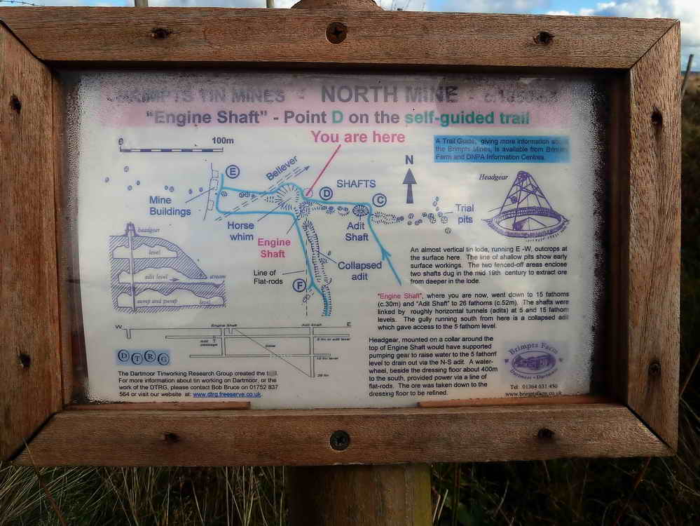
Click the photo to see a larger version .....
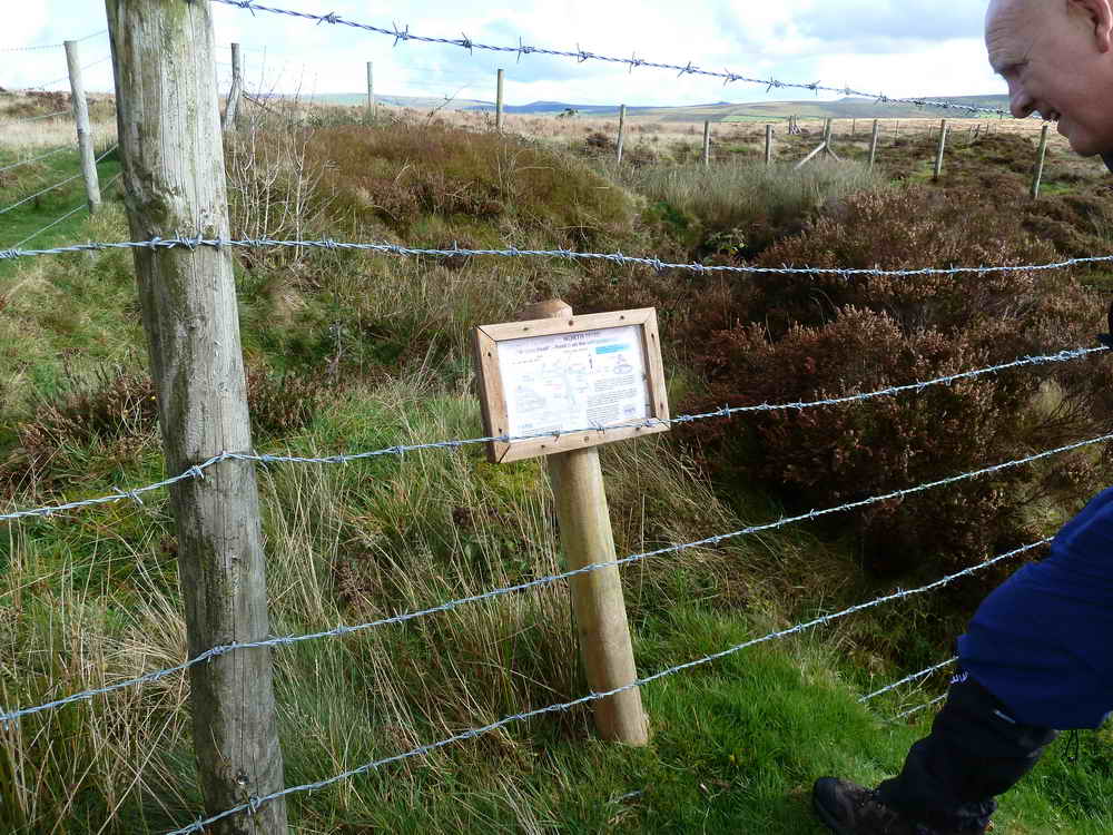
Information board in situ .....
Looking south'ish, along the collapsed adit that gave access to the 5 fathom (30 ft) level ,,,,,
"Engine Shaft" went down to the 15 fathom (80 ft) level. Another shaft, "Adit Shaft" went down to 26 fathoms (156 ft).
Structures in the newtake wall, like buttresses and a chimney breast, possibly remains of a mine building.
Bellever Tor.
The Judge's Seat, in Dunnabridge Pound. The present pound has been in existence since before 1342. It was used to house animals pastured illegally as found after four annual drifts. Owners were fined for illegal pasturing and there were stocks, probably sited just outside the pound, that needed repairing in 1660. Dunnabridge is the largest of a group of five pounds, all within 2 km. Source: J. Butler (1991), Dartmoor Atlas of Antiquities Vol. 2 - The North, 28.1 - Dunnabridge Pound, pages 54-55.
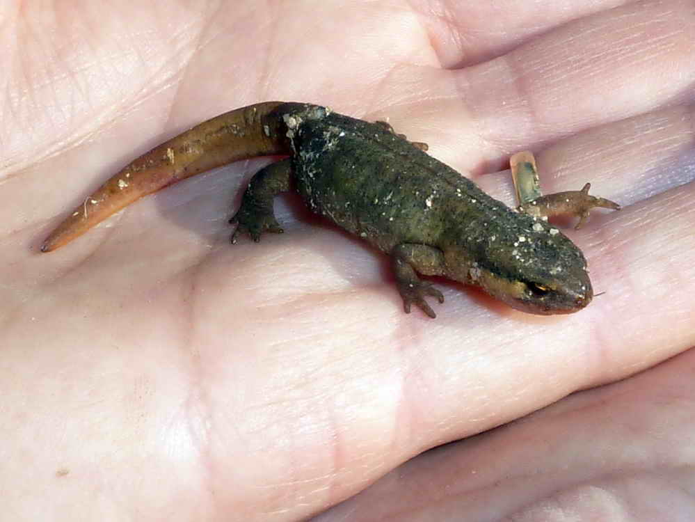
Smooth newt, Lissotriton vulgaris, found on ther track beside Dunnabridge Pound Farm.
MAP: Red = GPS satellite track of the walk.
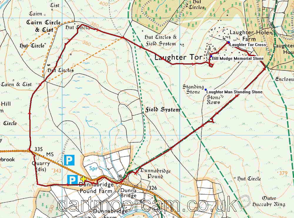
Ordnance Survey © Crown copyright 2005. All rights reserved. Licence number
100047373.
Also, Copyright © 2005, Memory-Map Europe, with permission.
The walk was accessed from the B3357 Two Bridges-Moretonhampstead road, with easy road-side parking as indicated by the P symbols and the yellow cross on the map.
Statistics
Distance - 6.39 km / 3.97 miles
All photographs on this web site are copyright ©2007-2016 Keith Ryan.
All rights reserved - please email for permissions