![]()


This walk: 2010-7-28. Toadstools, Cholwich Town Farm Cross, Tolchmoor Gate, ragwort, Cholwich Town Bottom, Ridding Down, Lee Moor, bumble bee, chamomile, Derriford Hospital, Broomage Farm, maidenhair spleenwort, well, clover, branched tree-bole, clay settling pond, Mr Toad, reed mace / bullrush, Penn Beacon, mushroom, Headon Down Clay Works, Hanger Down Clump, Maurice Steer's seat, Delamore House, blackberries.
Walk details below - Information about the route etc.
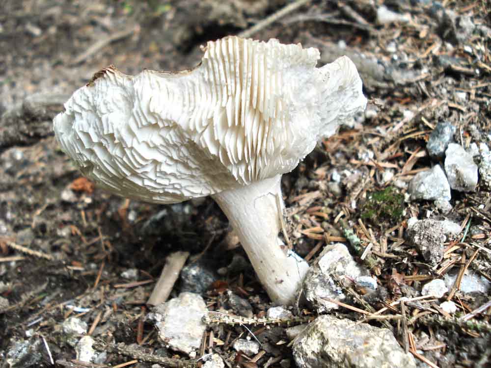
An unidentified toadstool, perhaps an old version of the following .....
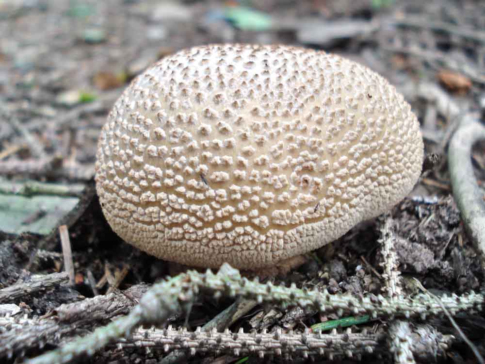
Young, unopened toadstool.
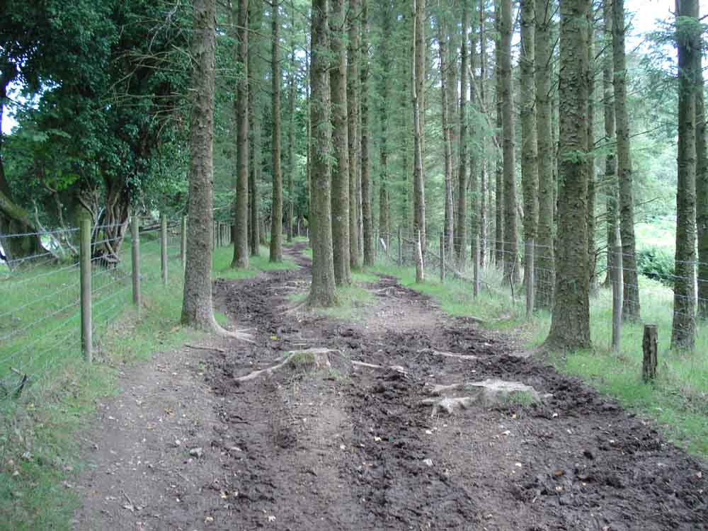
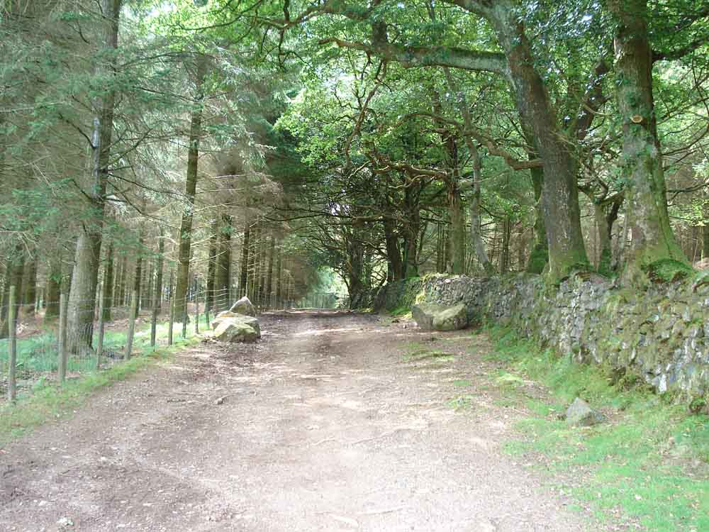
Trees lining an early part of the walk ..... along here we overlooked Cholwich Town Farm Cross (or Ridding Down Cross).
Photographed the following day .....

Cholwich Town Farm Cross (or Ridding Down Cross) at SX 586 612 ..... this is right beside the road, on the opposite side from where we were walking. This is photographed over the wire fence because it is on private land, immediately above the entrance to Tinpark Farm.
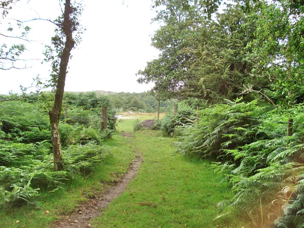
An area where the trees gave way to more open ground - almost at Tolchmoor Gate .....

Stone with a square hole through and a blind, round hole at Tolchmoor Gate, SX 58060 61640, where we crossed the road.

Ragwort, Senecio jacobea - it is officially classified as an injurious weed, subject by law to the Ragwort Control Act 2003 .....

Close-up of the flowers.
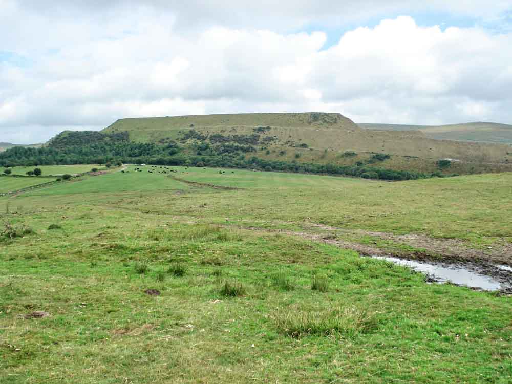
View in a north-easterly direction on Ridding Down ..... part of Cholwich Town Bottom, an old china clay tip.
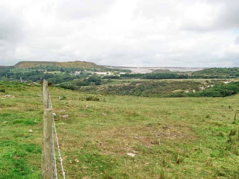
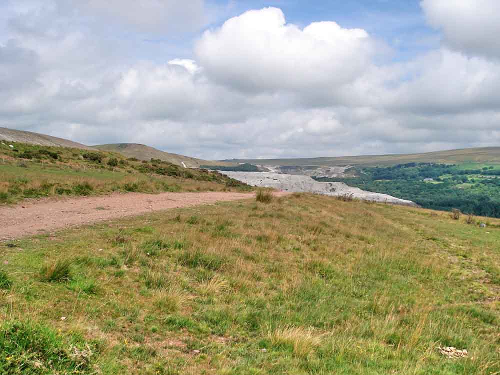
View to the north-west over Lee Moor to Lee Moor China Clay Works.
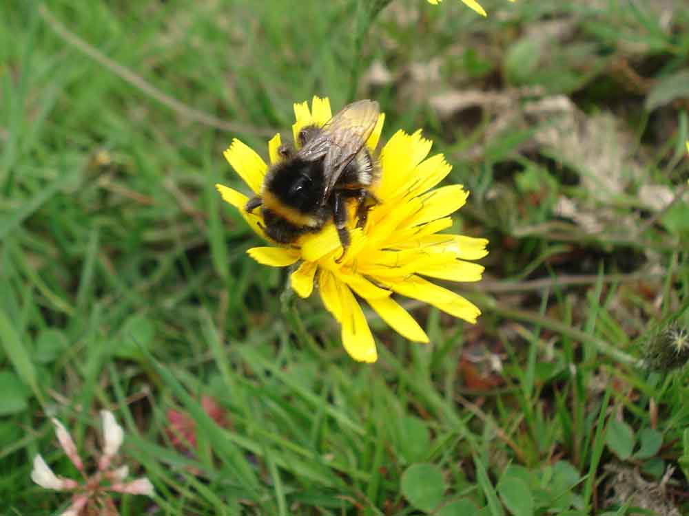
A small bumble bee on a dandelion-like flower, possibly hawkbit.
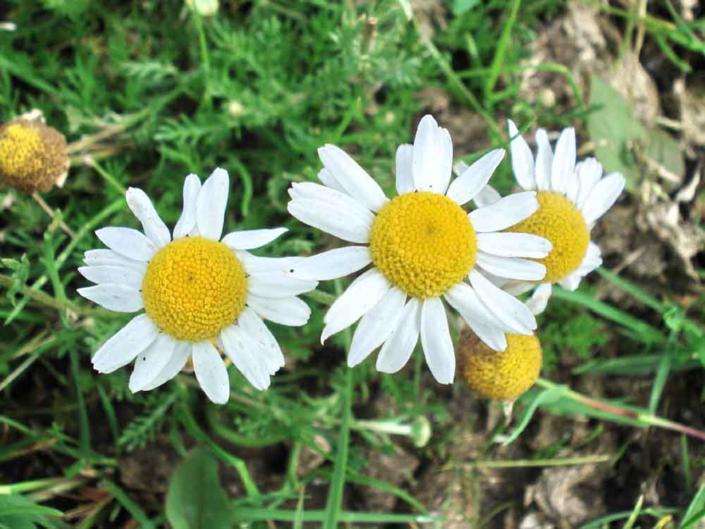
Chamomile, Anthemis nobilis.
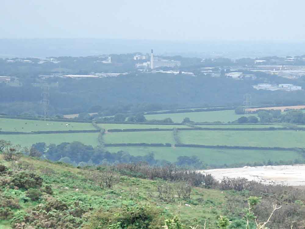
Zoomed view to Derriford Hospital, Plymouth, showing the incinerator chimney, with the Eddystone Lighthouse in the distance .....
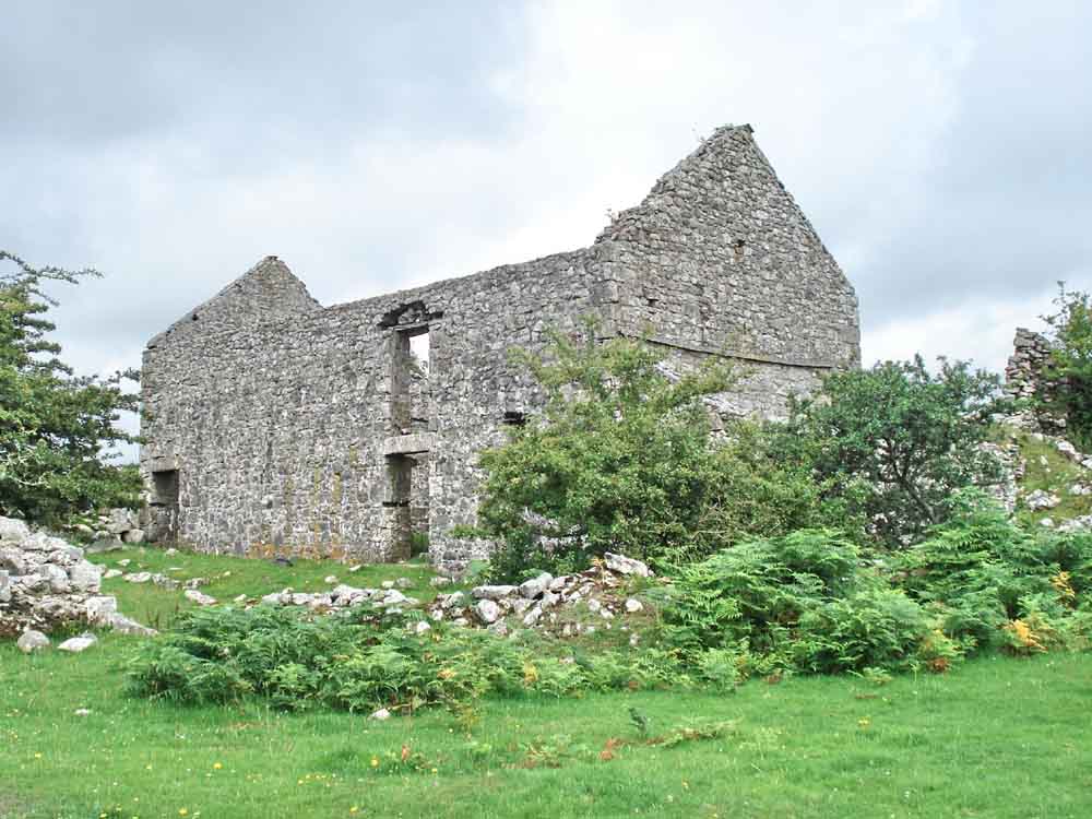
Broomage Farm, SX 579 609, first documented in 1248 ..... visited previously on 17 June 2009.
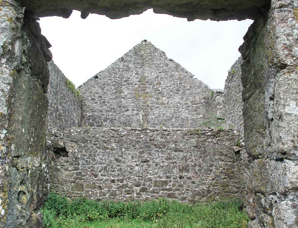
View from an end room .....
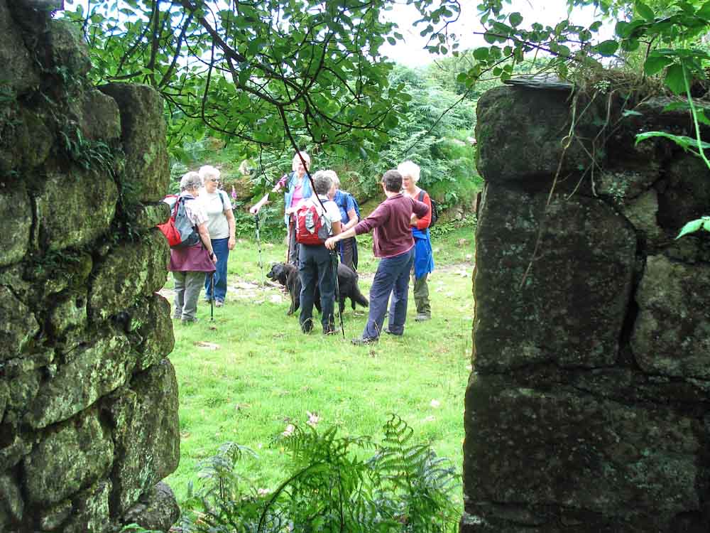
View from inside an outhouse (pig sty?) .....
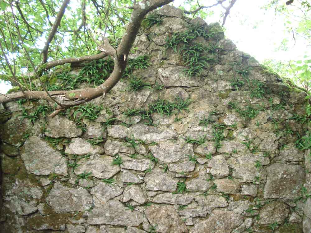
Ferns growing on the mortar of the old wall .....
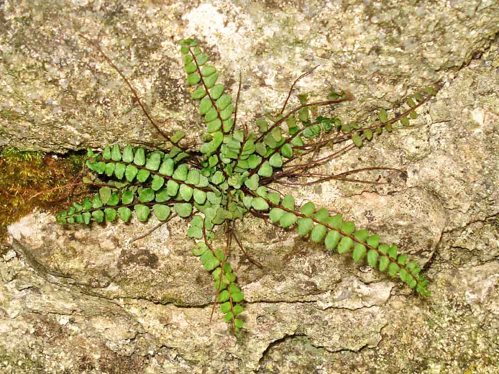
Maidenhair spleenwort, Asplenium trichomanes.
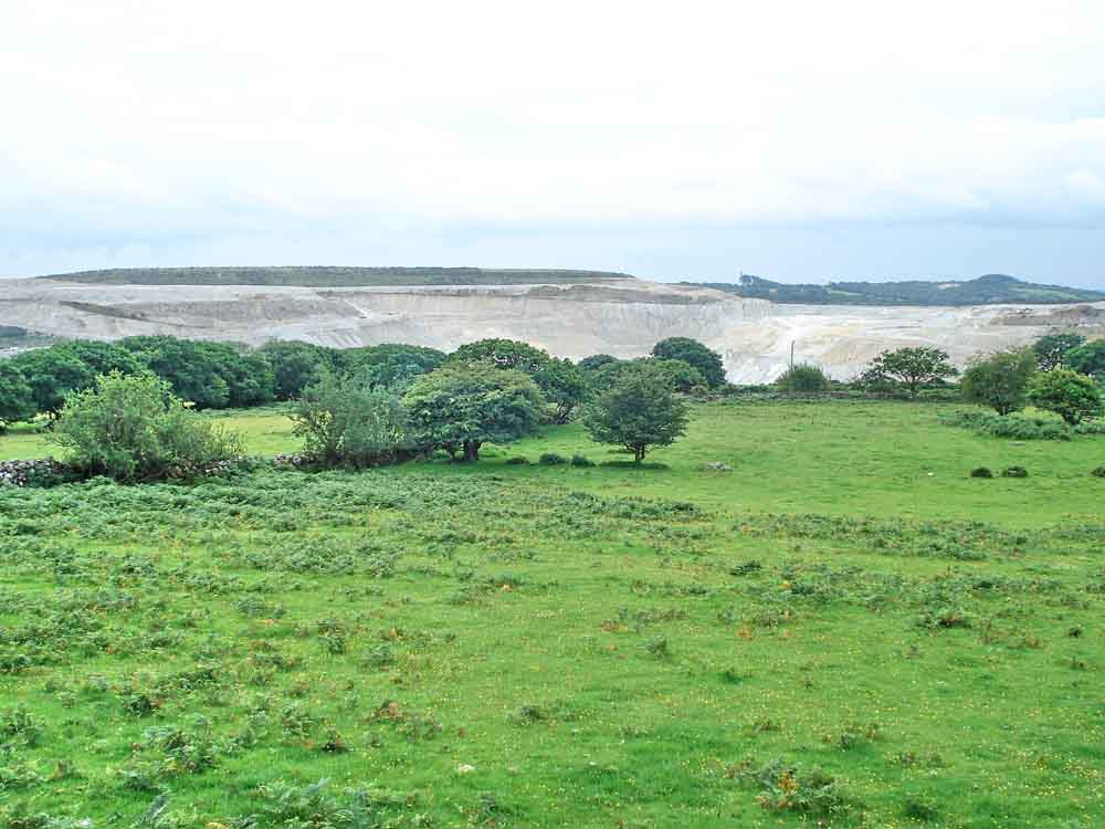
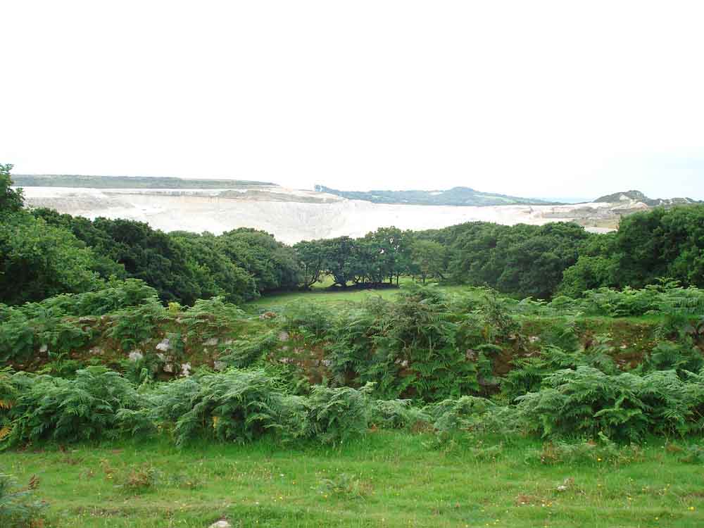
Clay tips to the left of them .....
Clay tips to the right of them ..... it seemed!
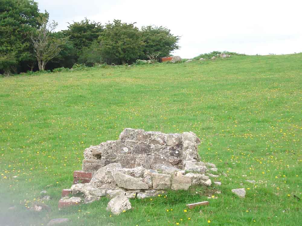
Abandoned well in a field near Broomage Farm .....
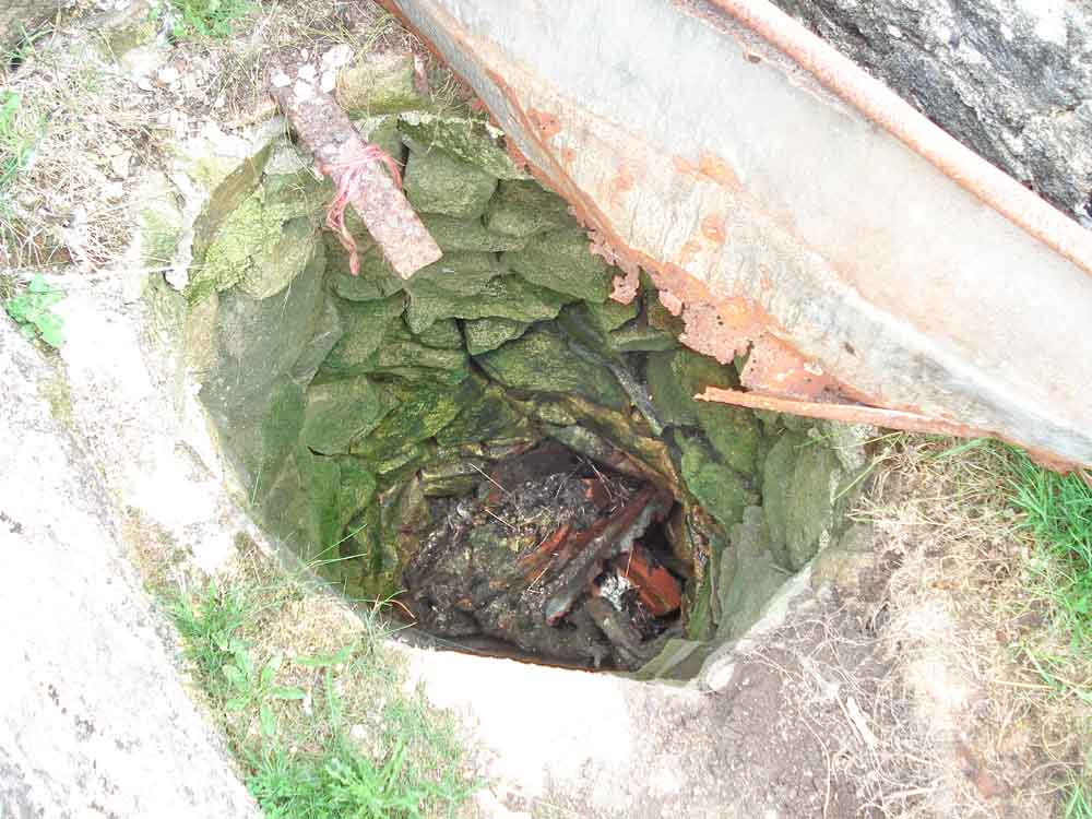
Looking down the well.
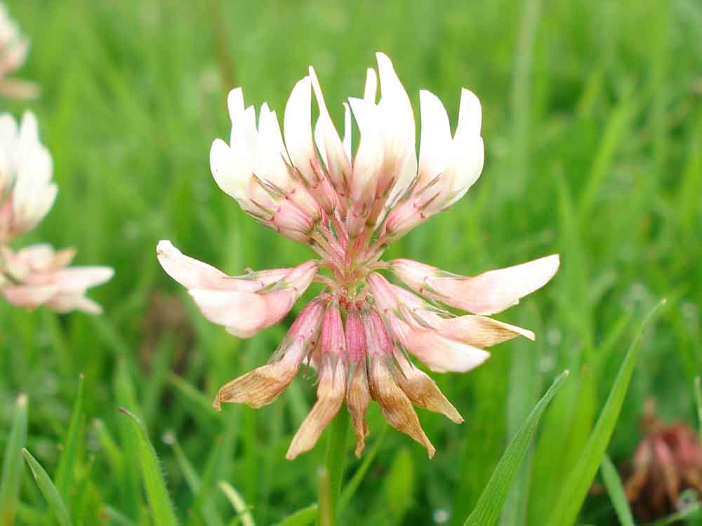
White clover, Trifolium repens - important in pastures but considered to be a weed in lawns.
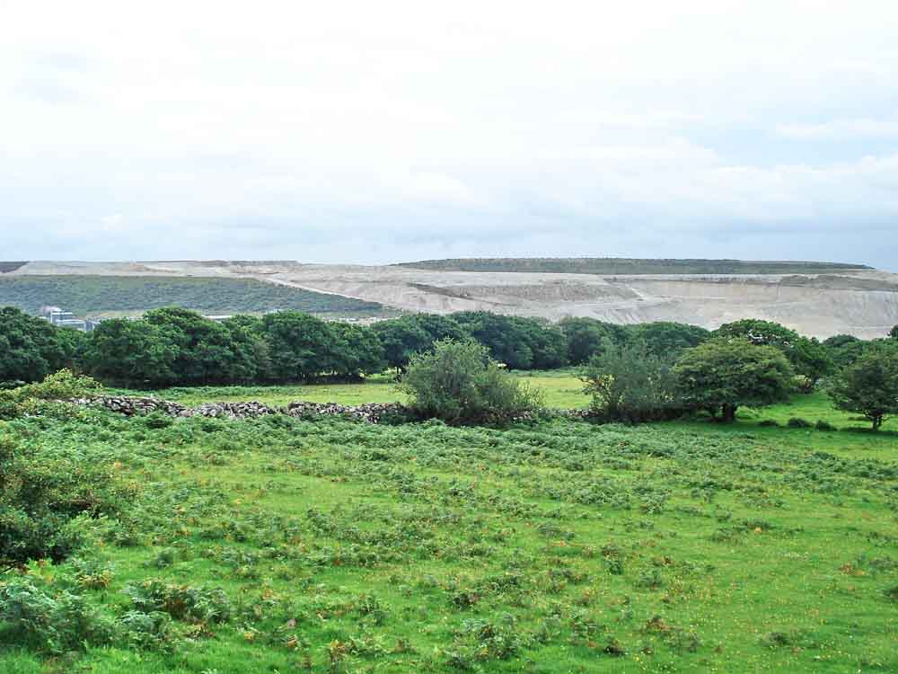
More clay waste, looking westwards - Cholwich Town Bottom.
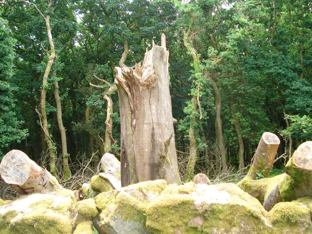
A snapped-off tree - that must have been a fair drop of wind!
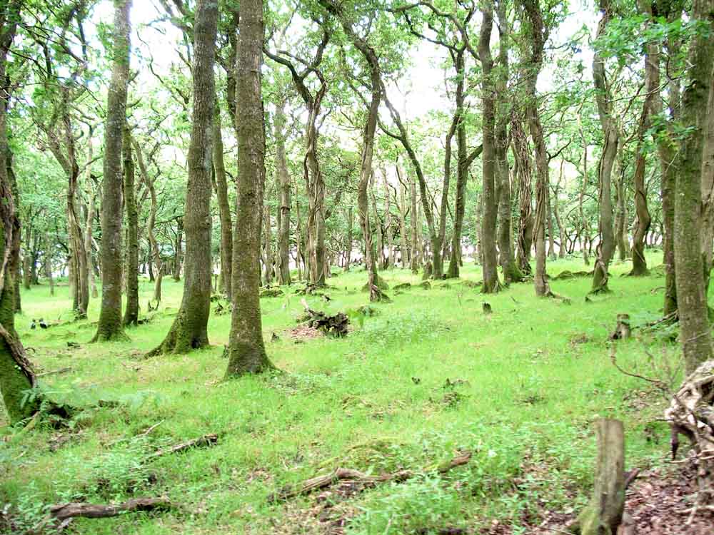
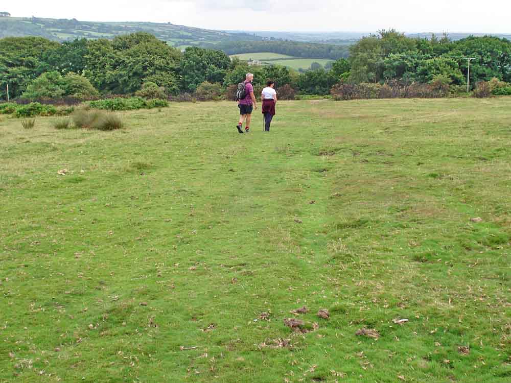
General view through the woods later in the walk.
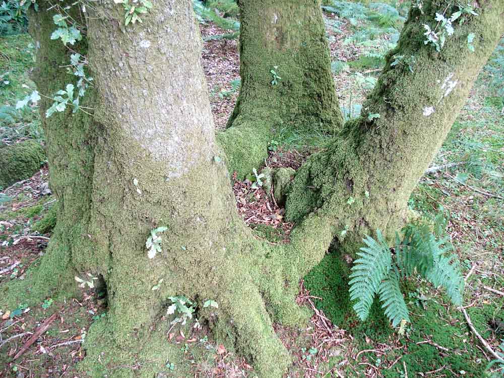
A multi-branched tree bole at ground level.
Looking through trees into a china clay settling pond .....
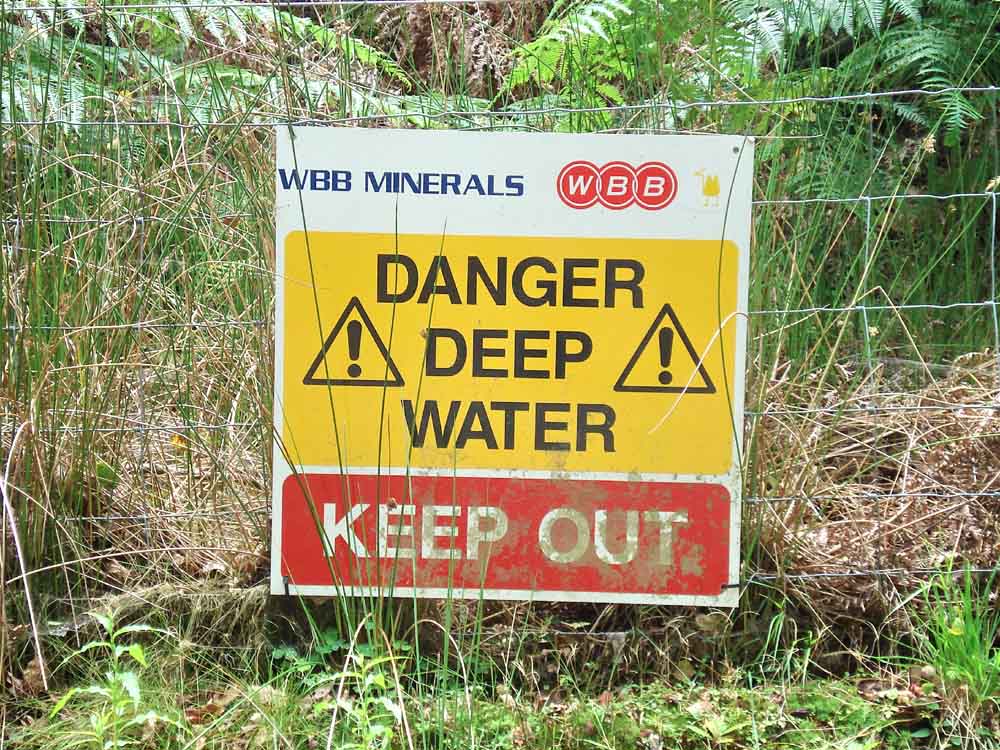
Warning sign .....
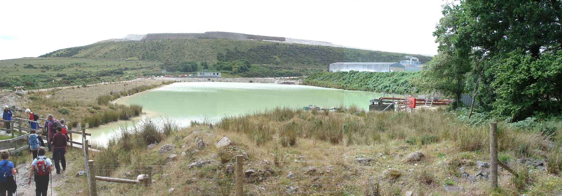
A panorama of the settling pond - click here or on the photo for a larger image.
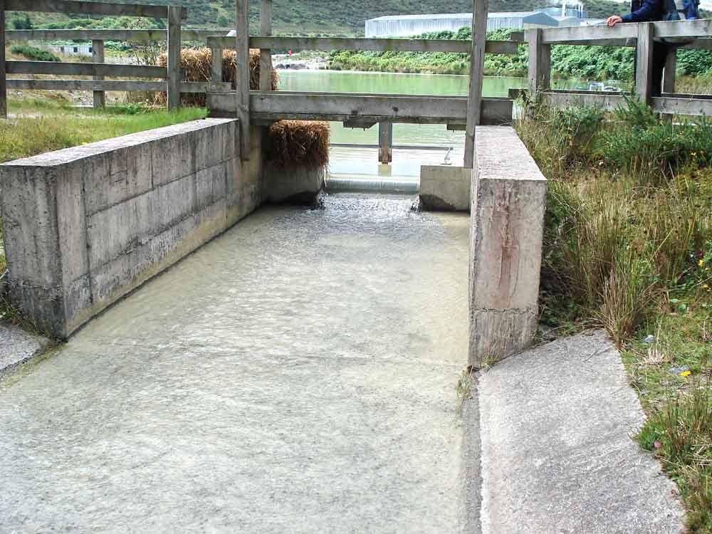
The waste water, it appeared to be very clear.
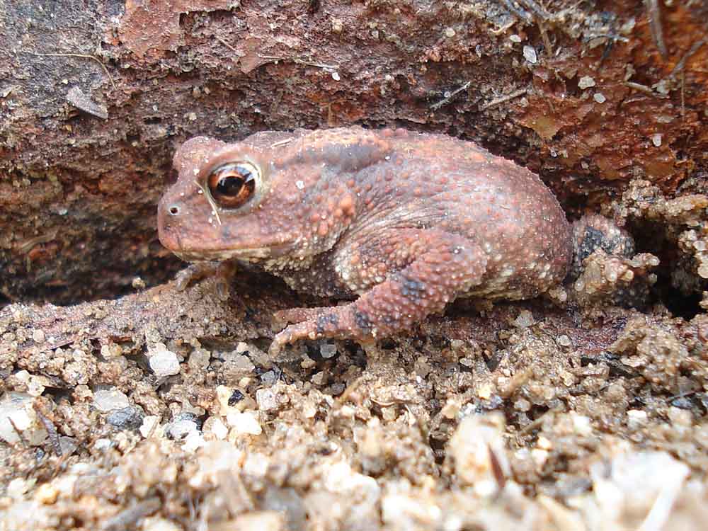
Mr. Toad, Bufo bufo, encountered along the way. Note the dry warty skin compared to the wet, smooth skin of a frog.
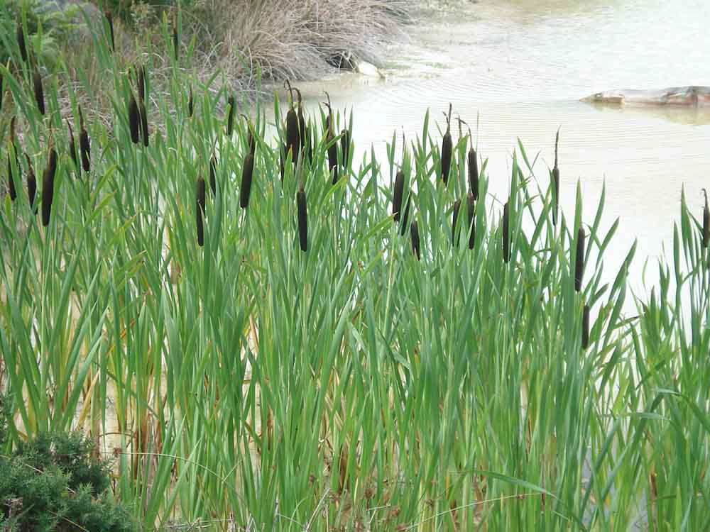
Reed-mace, or more lately known as bullrush, Typha latifolia.
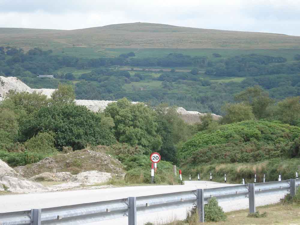
View to Penn Beacon, there are views towards this area from Penn Beacon here: 6 Feb. 2008.
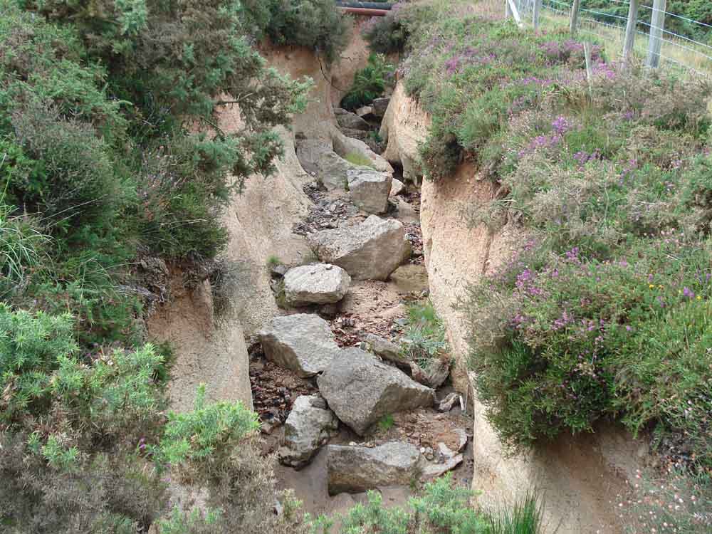
A gully in the clay waste area, scoured probably by rain run-off.
More waste - I should have taken compass bearings etc. in order to identify the various tips!
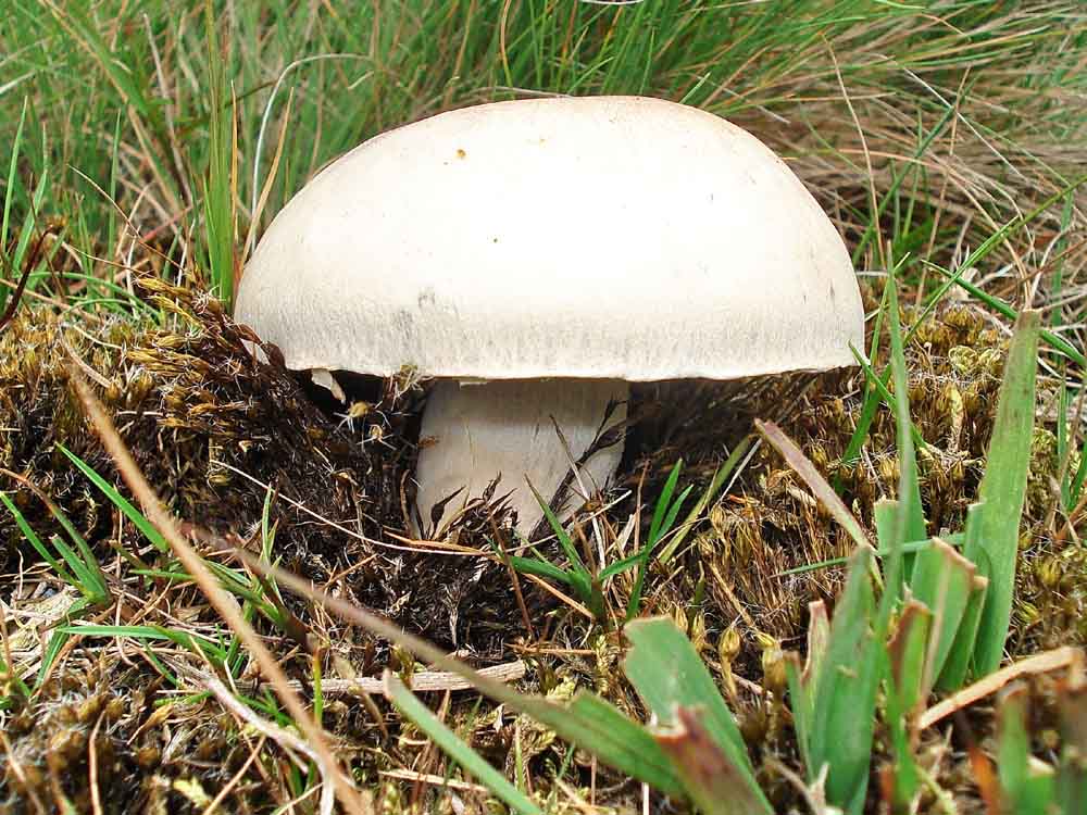
A common mushroom, we believe, someone with more confidence picked them so we hope they were!
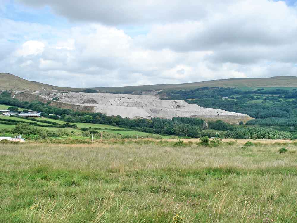
Looking back - Headon Down Clay Works.
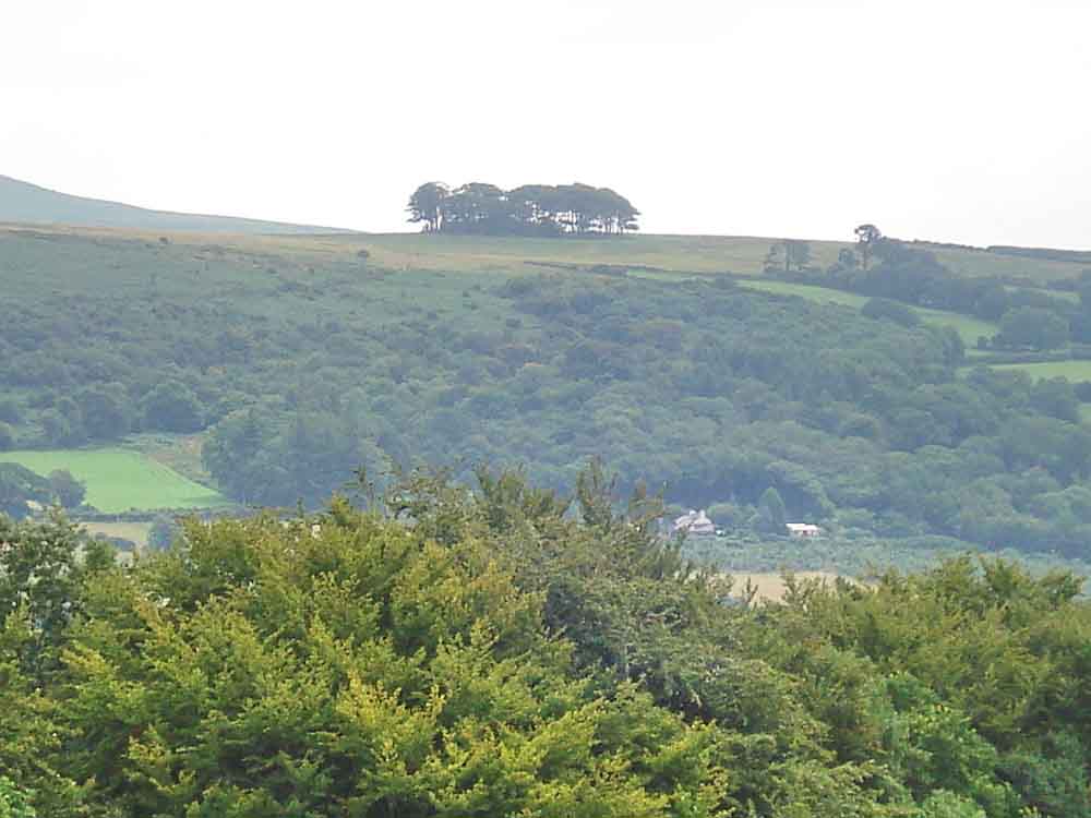
Hanger Down Clump, SX 6216 5853.
The Cornwood Inn, I think .....
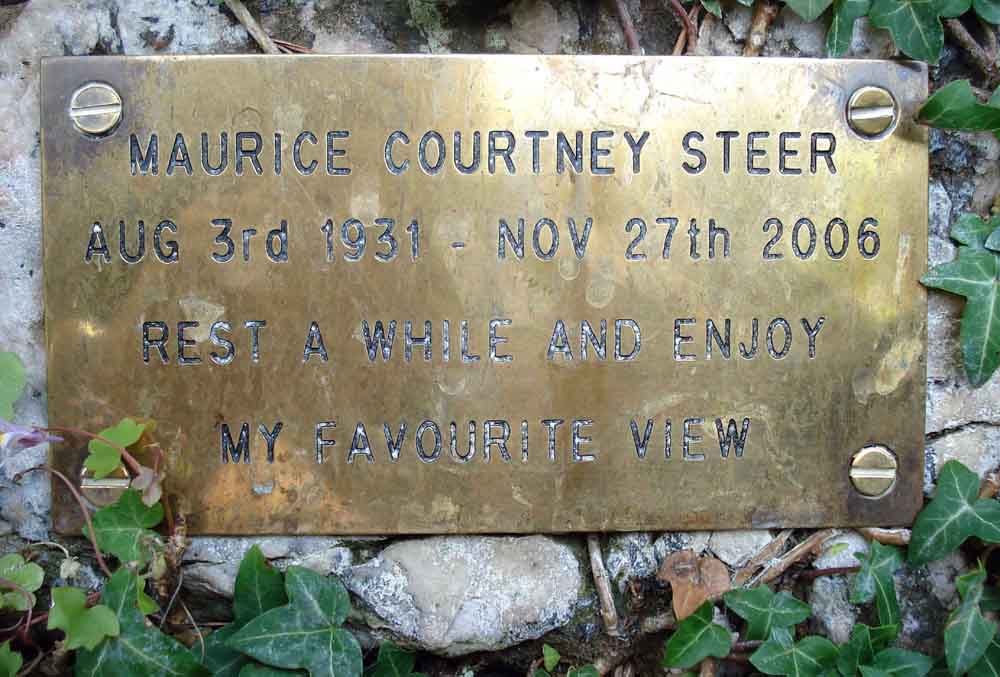
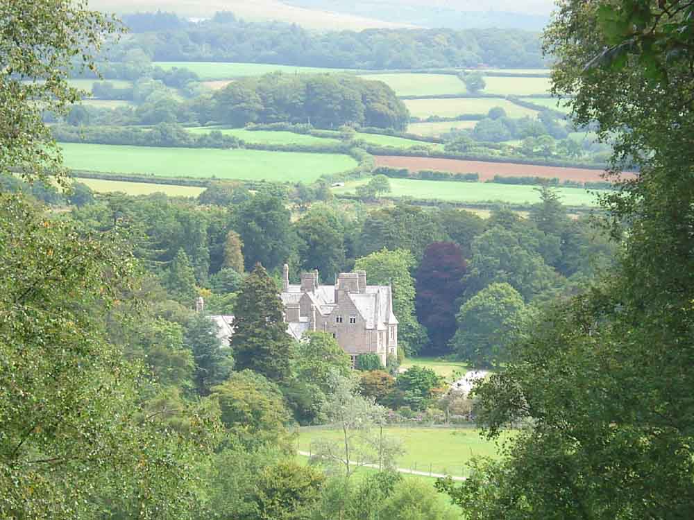
Rest a while and enjoy my favourite view .....
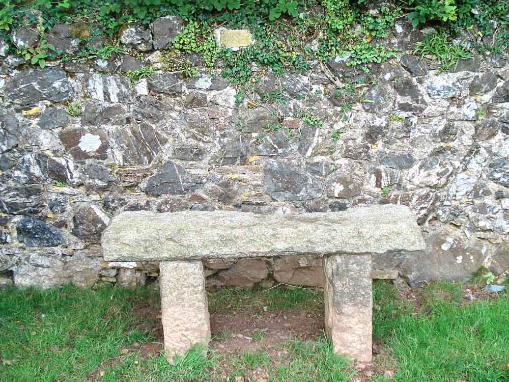
The granite seat and plaque .....
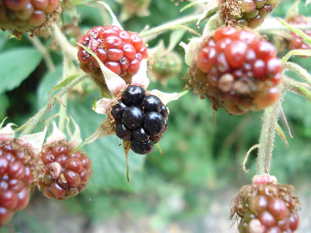
The blackberries are coming!
Last look back along the track near the car park at Quick Bridge.
MAP: Red = GPS satellite track of the walk.
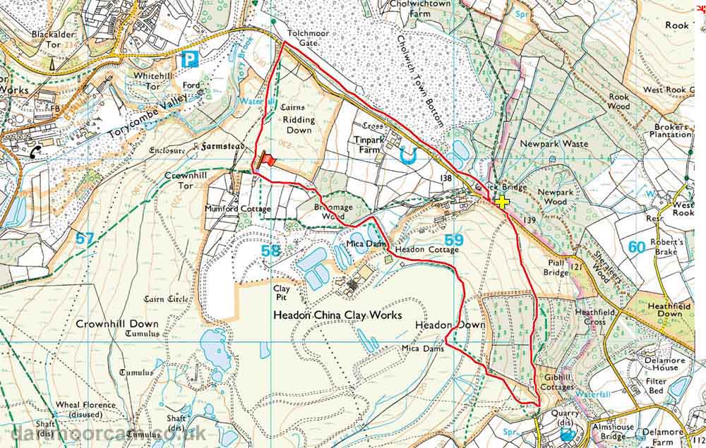
Ordnance Survey © Crown copyright 2005. All rights reserved. Licence number
100047373.
Also, Copyright © 2005, Memory-Map Europe, with permission.
The walk was accessed by driving from Lee Moor on the A38, past the big Tesco store, through Cornwood, and 1.7 km (1.0 mile) beyond to a roadside parking area, marked by the yellow cross, just before Quick Bridge - this is the bridge after Piall Bridge. Broomage Farm is marked by the red flag symbol.
Statistics
Distance - 6.43 km / 4.0 miles
All photographs on this web site are copyright ©2007-2016 Keith Ryan.
All rights reserved - please email for permissions