![]()


This walk: 2010-7-21. Belstone stocks, memorial stone, pound, telegraph office, Zion chapel, The Tors Inn, St Mary the Virgin Church, font, Belstone incised cross, Belstone Cleave, Ashbury Tor, Moor Brook, East Okement River, Chapel Ford stepping stones & bridge, Black Hut / Watchet Hill Cottage, Exmoor, Yes Tor, riders, Nine Maidens, Belstone Tor, Higher Tor, bench mark, Tarka Trail, water works.
Walk details below - Information about the route etc.
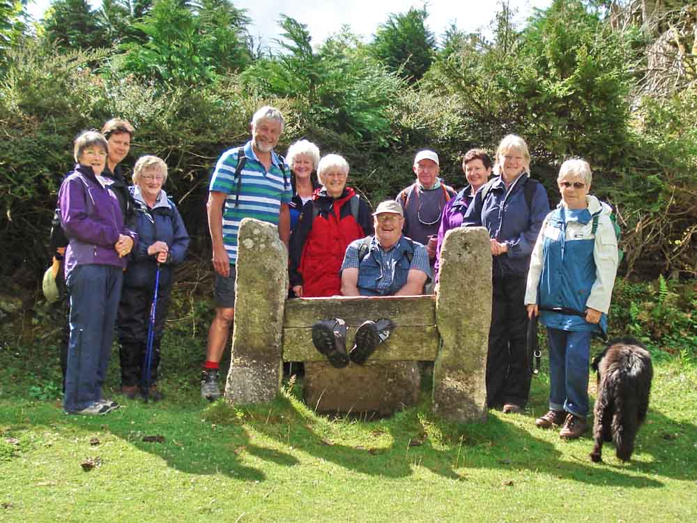
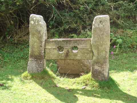
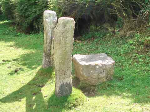
The Moor Strollers see Jim in the stocks - one wonders why?
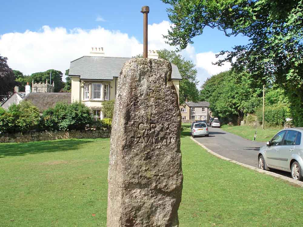
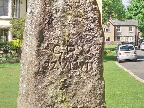
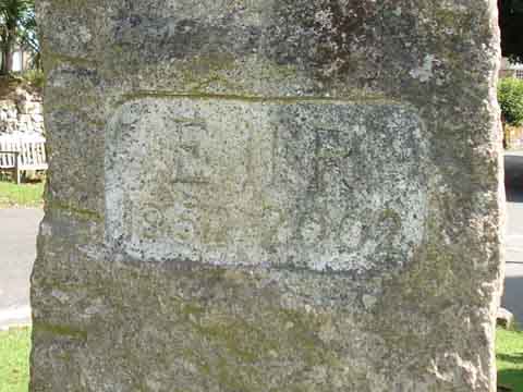
Memorial stone (with feather and tare marks) on the village green. Apparently, it bore an oil lamp in times past. Now it bears two inscriptions .....
 |
 |
|
GRV |
E II R |
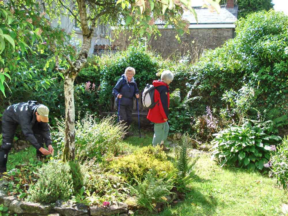
In the Belstone Pound, now a garden .....
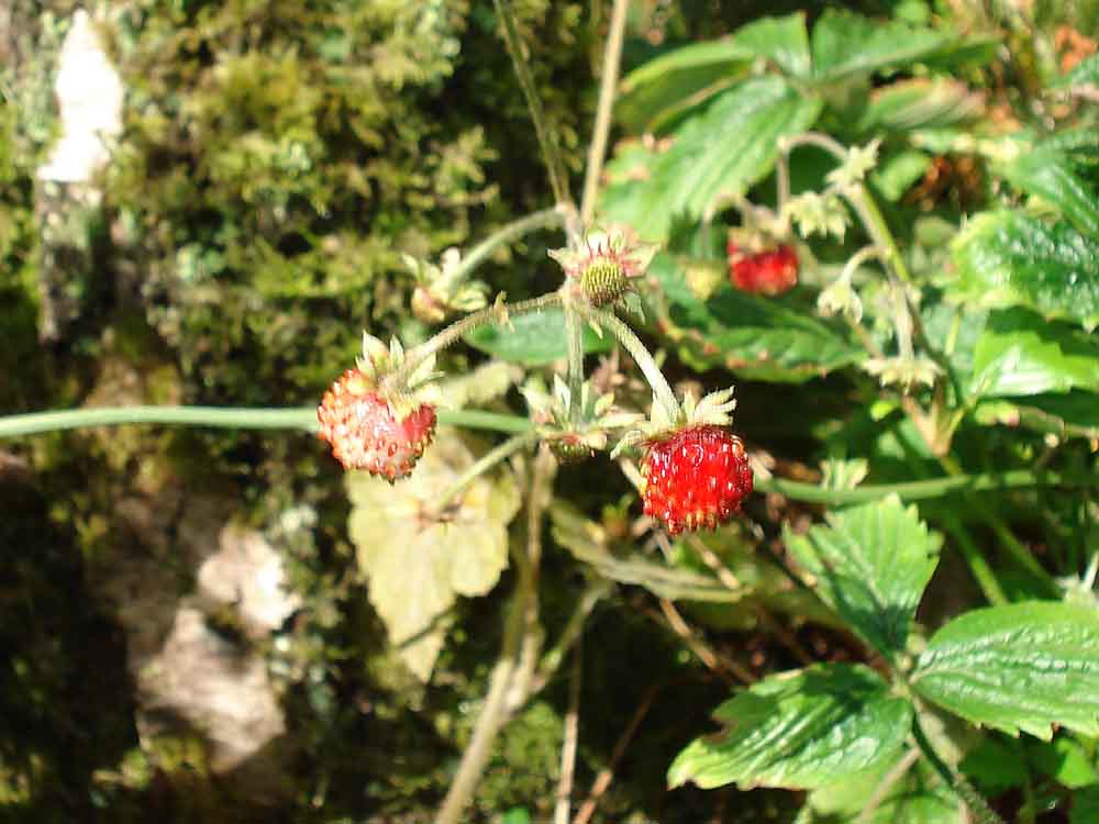
Wild strawberries in the pound .....
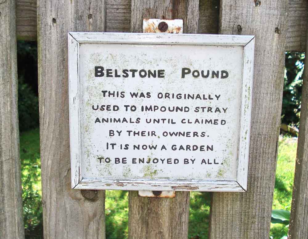
Notice on the gate.
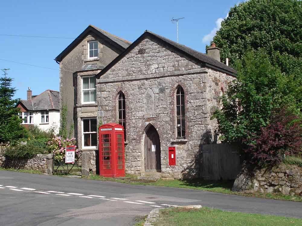
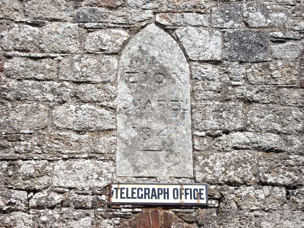
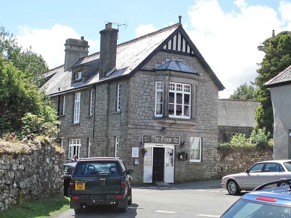
A building with a history, the sign above the door says "Telegraph Office" and there is a more modern telephone box outside, also an old Post Collection Box in the wall. The blanked out window above the door is shown below .....
Zion Chapel 1841.
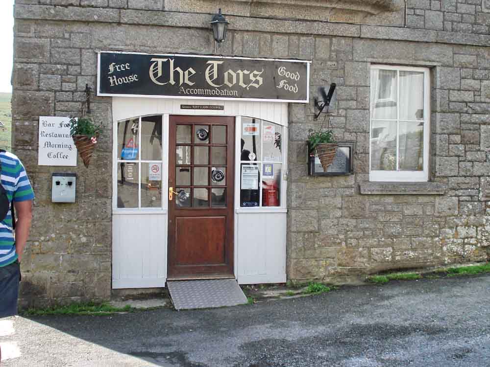
The Tors Inn, a good place for lunch!
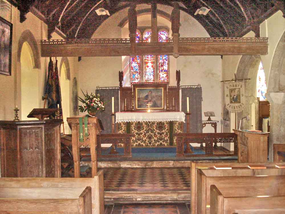
The altar of St Mary the Virgin Church, Belstone, there being a church here since 1260 AD .....
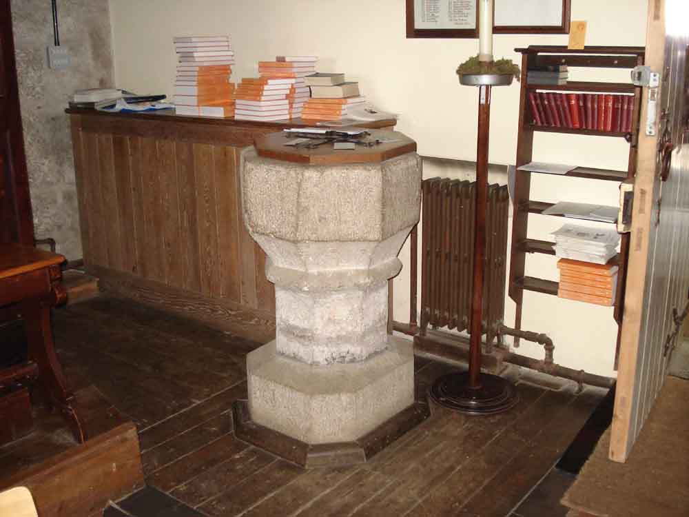
The font .....
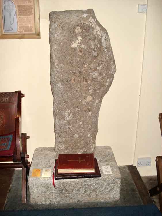
Belstone incised cross - described as leaning against the church wall, and pictured thus, but now no longer, it is installed in a new plinth inside the church after a long and chequered history. The descriptive plaque on the wall is shown in the next photo .....
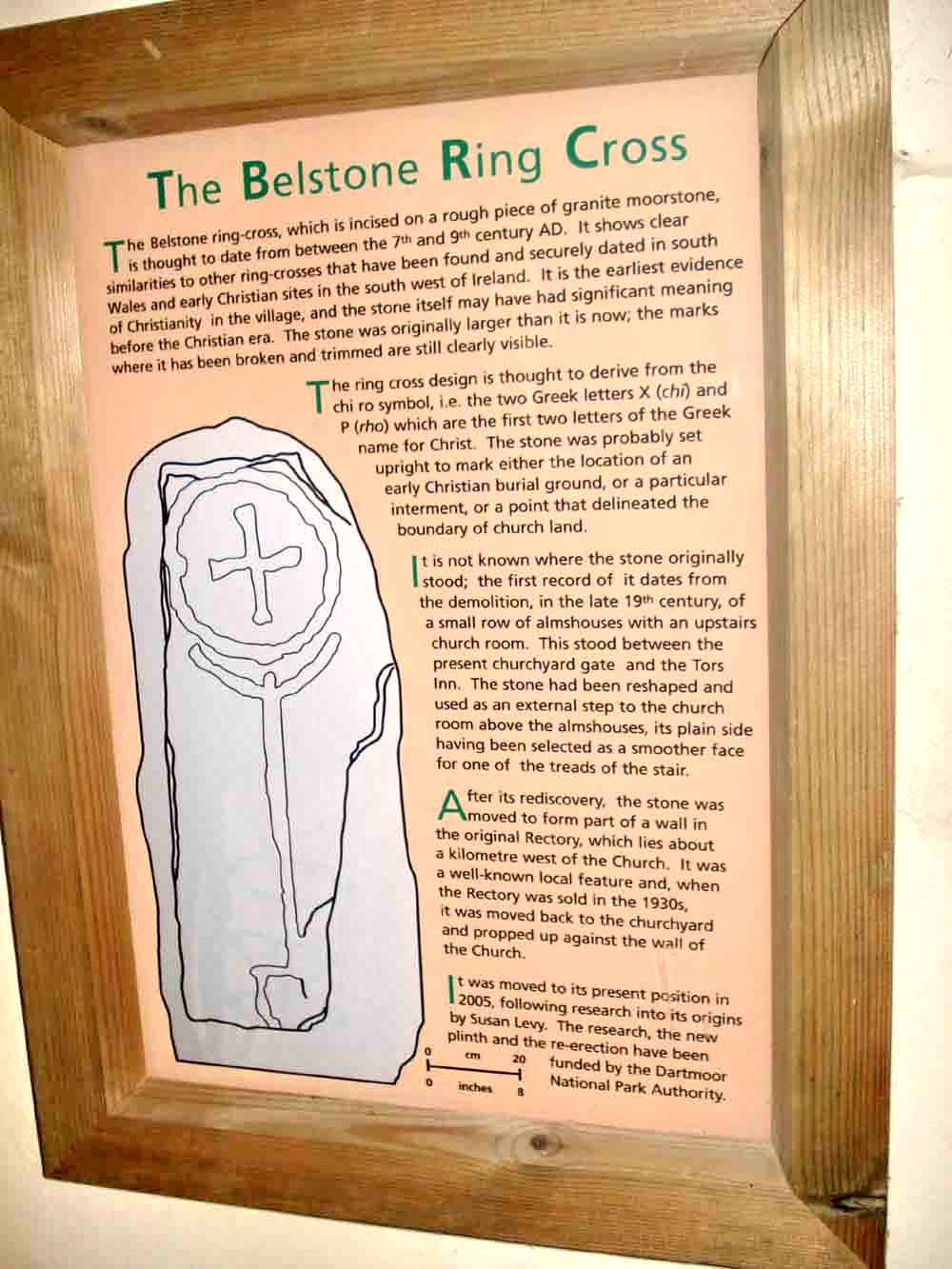
A description of the cross. It has been suggested that the upright figure represents a serpent with a wide-open mouth attempting to swallow the world, although it should be said that the earth was thought to be flat until the Renaissance.
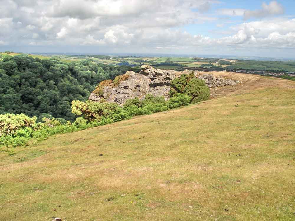
Belstone Cleave Rocks, at SX 6095 9406, above Belstone Cleave .....
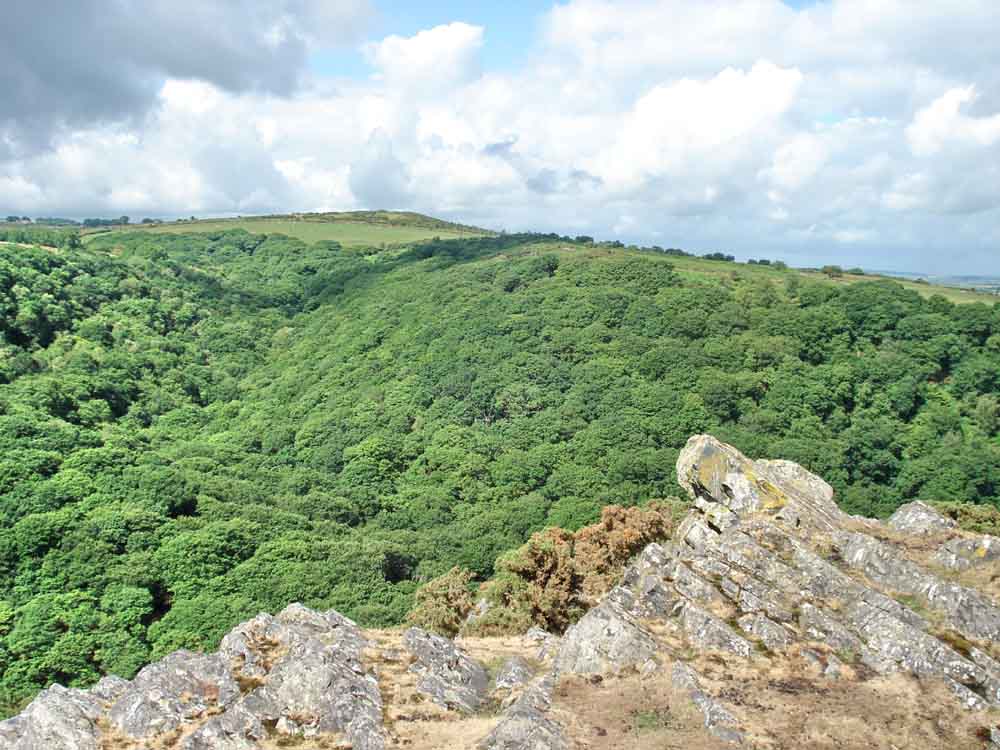
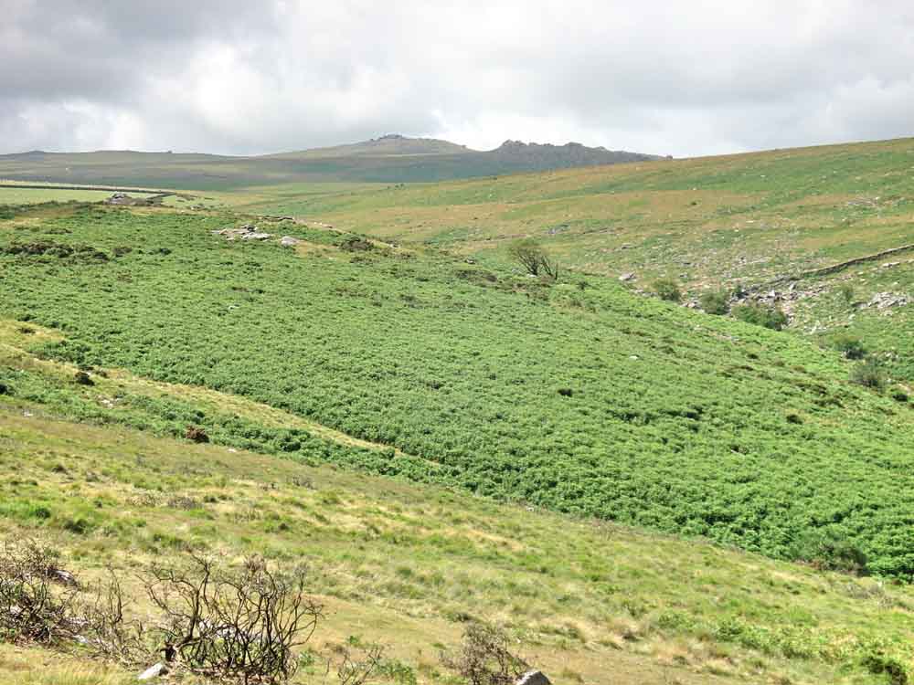
Looking across Belstone Cleave to Ashbury Tor at SX 6050 9405. Moor Brook runs down in the valley to the left of the tor - this was crossed during our walk on 7 July 2010.
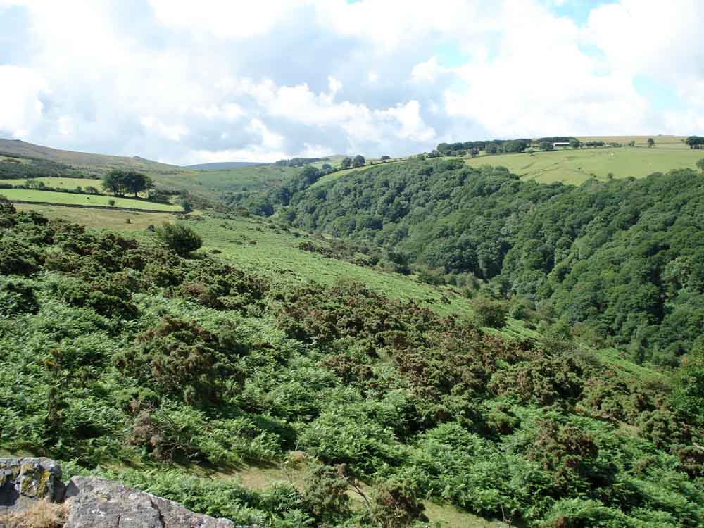
Looking up Belstone Cleave towards Scarey Tor, with the East Okement River down in the valley.
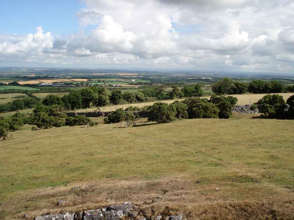
We are at the northern edge of Dartmoor, looking north - we could see Exmoor!
 |
 |
|
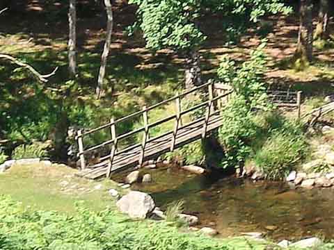
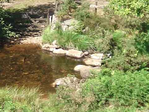
The stepping stones plus the modern-day footbridge over the East Okement are are known as Chapel Ford (SX 6079 9345). This important ancient river crossing was once used by the moorland folk wishing to give praise to their God in a Chapel once situated near Lower Halstock Farm (SX 602 936). Nothing remains of this former Chapel except for the Cross, which is sited at Fitz's Well SX 59194 93788 ...... however, the field is still referred to as "Chapel Lands". |
|
Watchet Hill Cottage, known locally as Black Hut. We heard the story of the railway plate-layer who lived here.
Another view up the cleave with the river in spate.
View to Yes Tor (in the distance) with West Mill Tor to the right, closer.
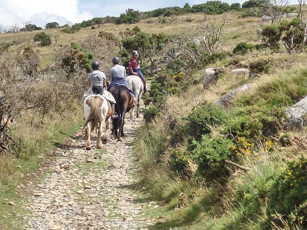
Three lady riders we exchanged greetings with in Belstone, earlier.
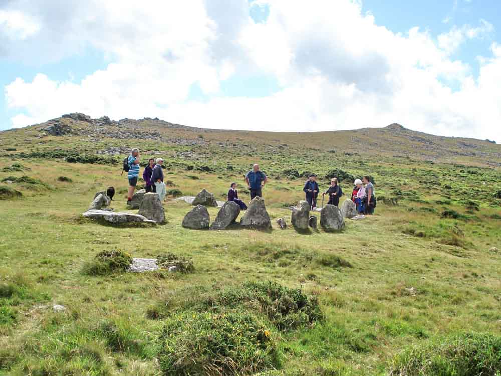
Nine Maidens cairn circle with Belstone Tor (left) and Higher Tor (right). In between them is Irishman's Wall, although difficult to see in this photograph.
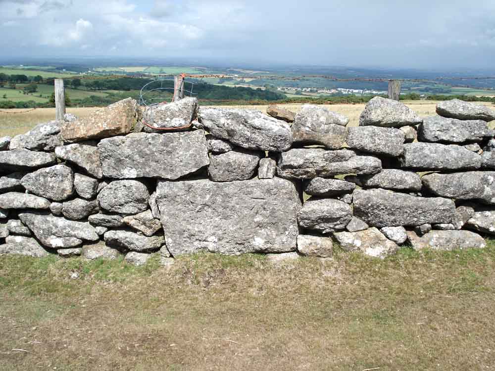
Wall corner at SX 61315 93148, showing the handiwork of the dry stone wall builder and a rare benchmark .....
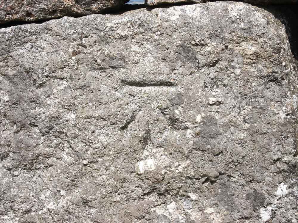
The Government arrow-head benchmark, usually inscribed by surveyors of the early Ordnance Survey.
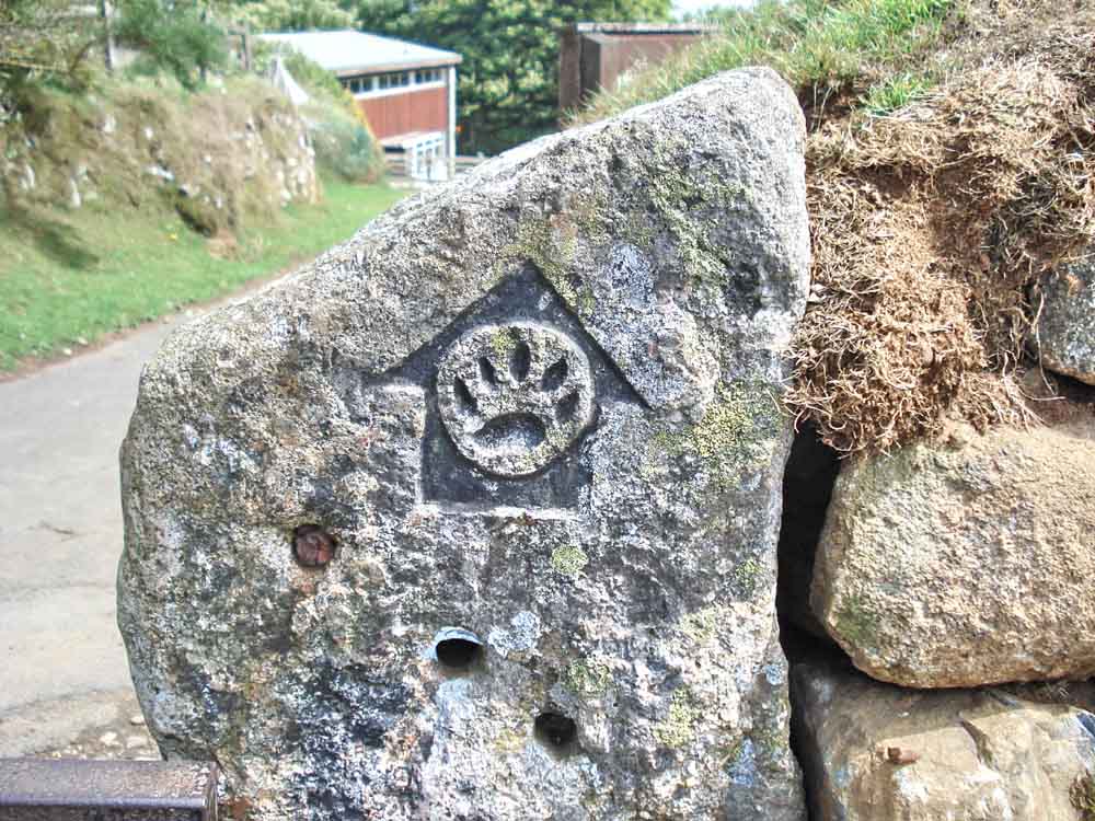
Mark of the Tarka Trail, a long distance path based on the tale of Tarka the Otter. The Water Works building can be seen behind .....
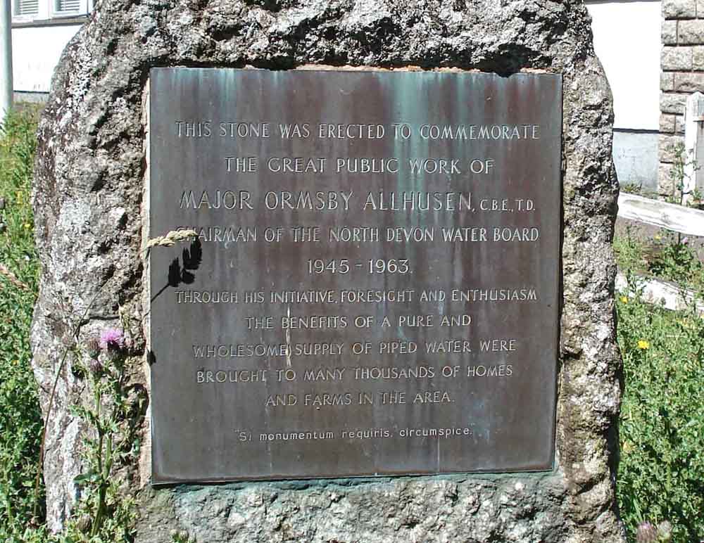
Plaque at the water works .....
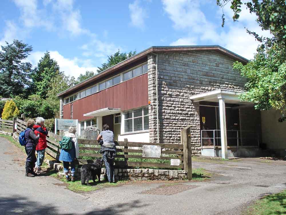
General view of the now-disused South West Water building.
Another (longing) view of the public house in Belstone.
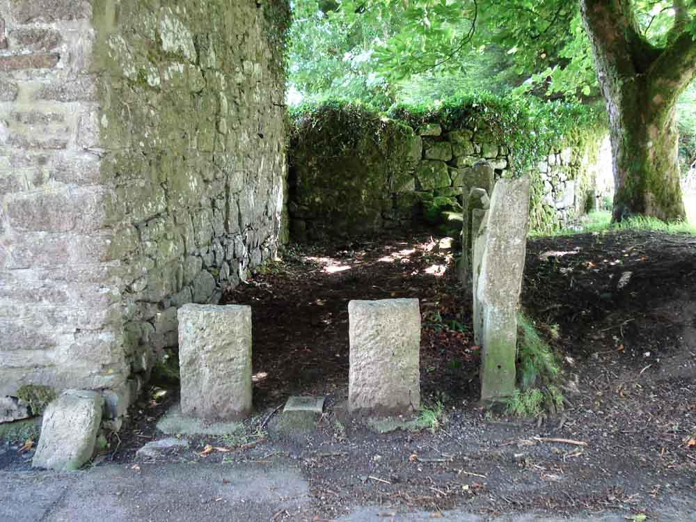
An interesting pound-like area on the end of a row of cottages.
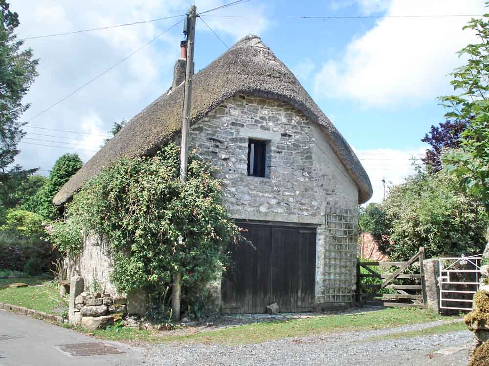
The gable-end of a picturesque thatched cotteage.
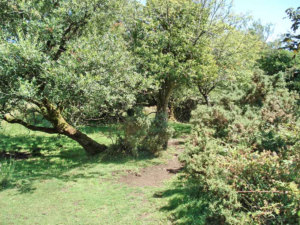
A view back along the alternative route back to the car park that was chosen by several ladies as an exercise in something known only to themselves!
MAP: Red = GPS satellite track of the walk.
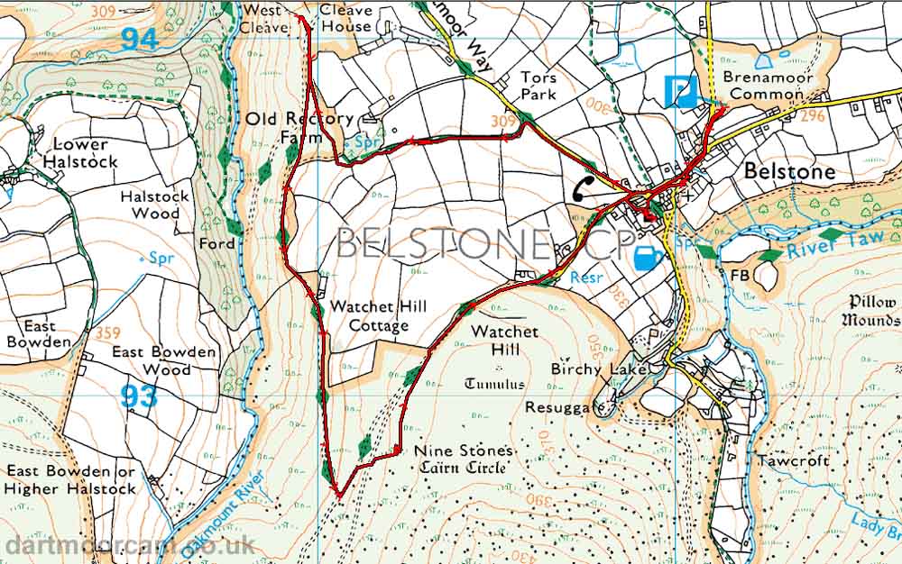
Ordnance Survey © Crown copyright 2005. All rights reserved. Licence number
100047373.
Also, Copyright © 2005, Memory-Map Europe, with permission.
This walk was accessed via the Okehampton-Sticklepath road, turning off for Belstone where signed, with ample parking at the P symbol on the map.
Statistics
Distance - 5.25 km / 3.25 miles
All photographs on this web site are copyright ©2007-2016 Keith Ryan.