![]()


This walk: 2010-3-31. Willsworthy Firing Range notice at Lane End car park, moss-covered hedge shrubs, pennywort, Willsworthy Manor Pound, Will cottages (1816), WD 40 stone, WD 38 stone, WD 37 stone, Baggator, Round Wood / South Common Plantation, stiles, Willsworthy Brook, laid hazel hedge, hard fern, maidenhair spleenwort, common polypody, filled-in gateway.
Walk details below - Information about the route etc.
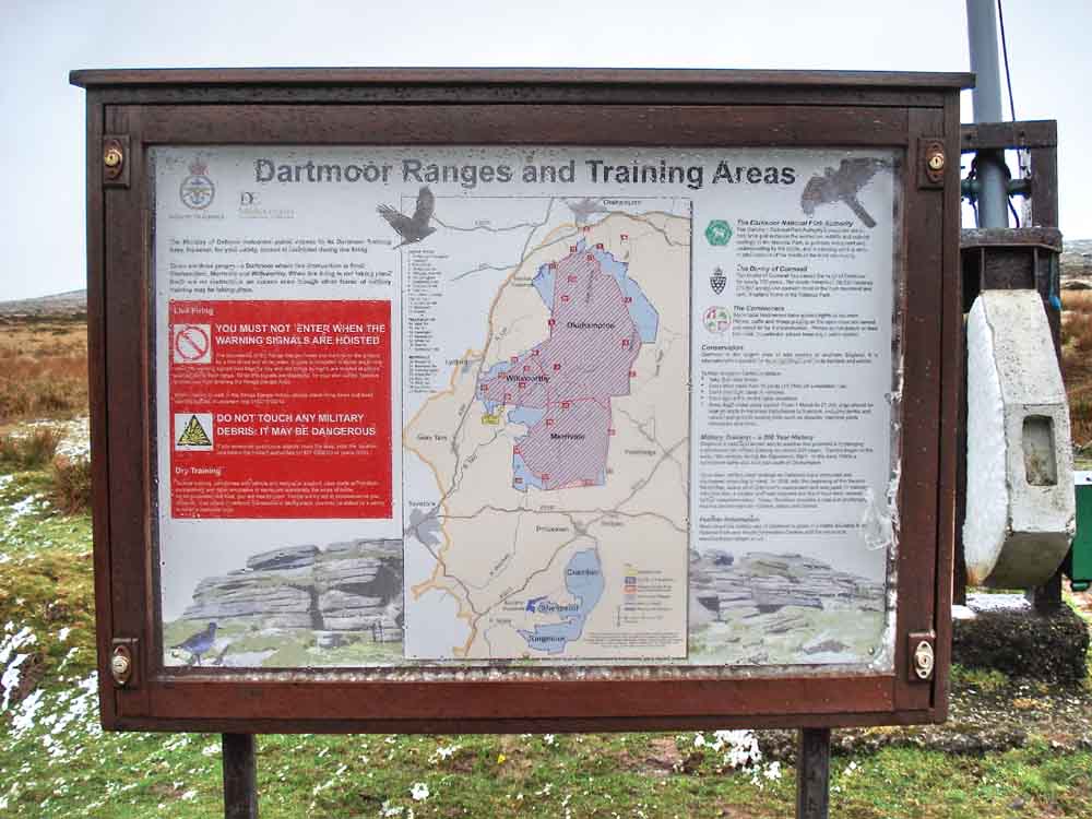
Lane Head car park sign, just up the lane from Lane End (cottage) on the southern edge of the Willsworthy Firing Range - no red flag flying today ..... no comment .....
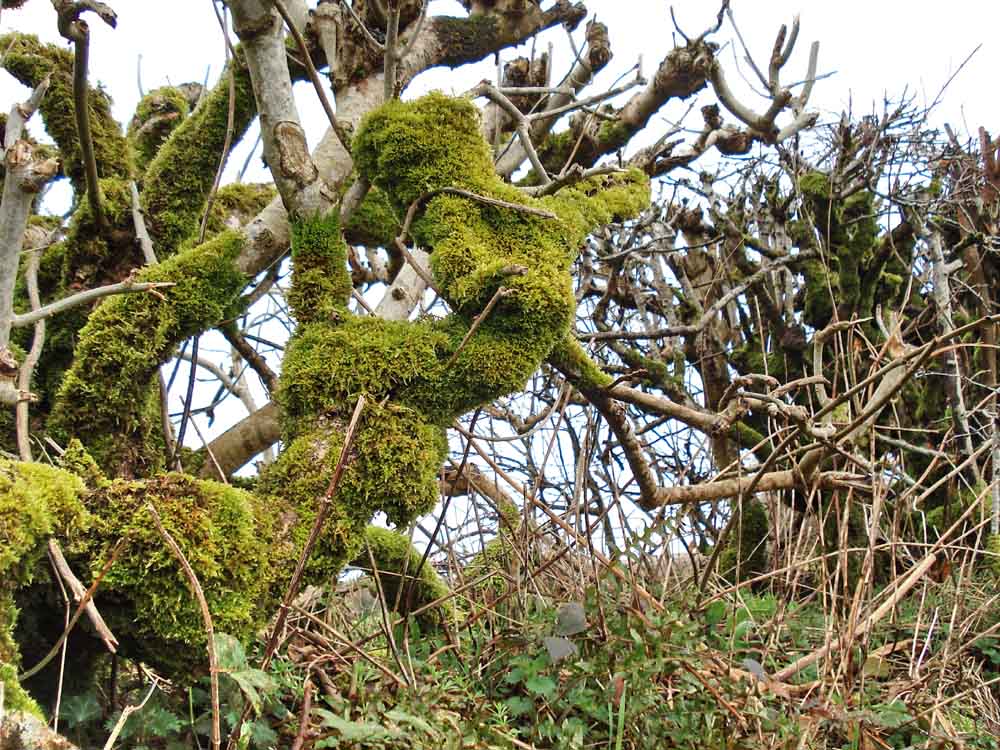
Moss-covered hedgerow shrub (believed to be hazel, see later photos), indicating the purity of the air in these parts.
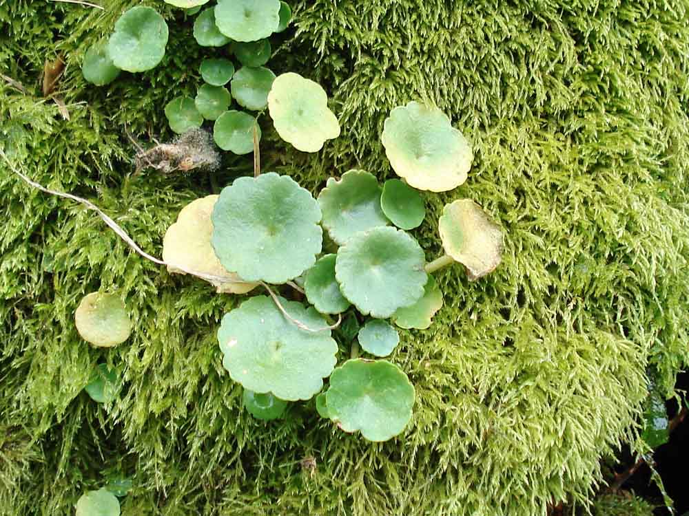
Wall pennywort, navelwort or penny pies, Umbilicus rupestris, in the moss-covered hedge leading down past Lane End.
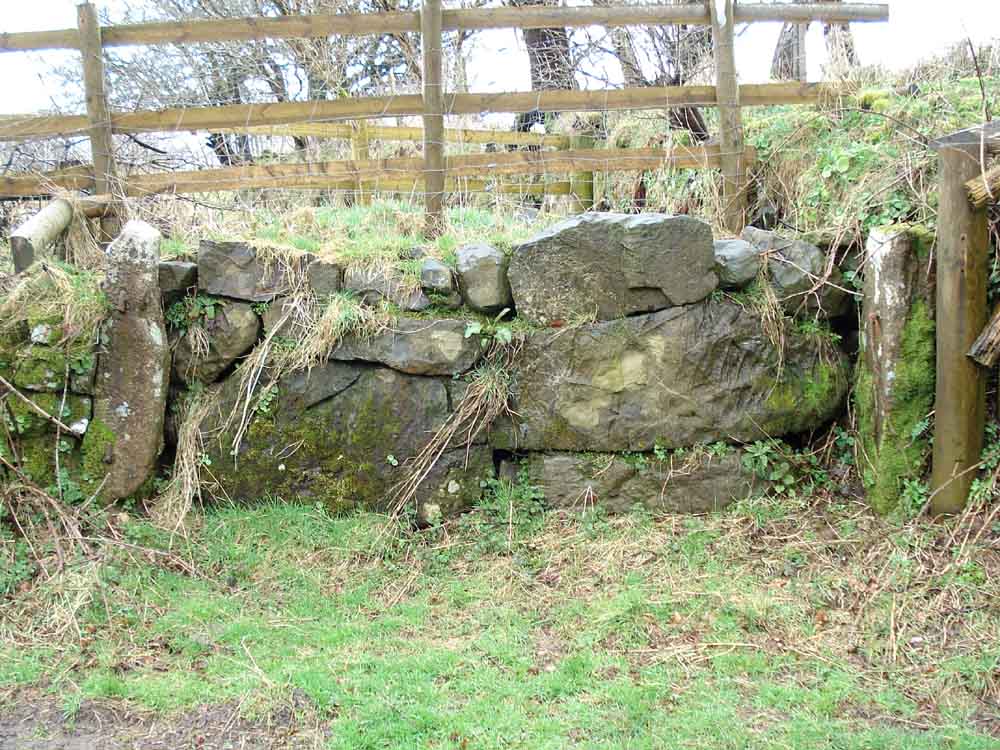
Willsworthy Manor Pound where non-local livestock was impounded after round-ups until the owner appeared and paid a fine to reclaim their livestock.
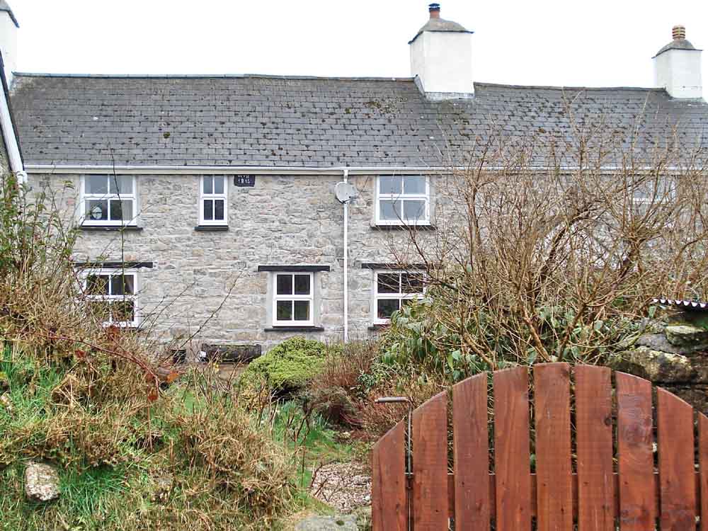
Will cottages .....
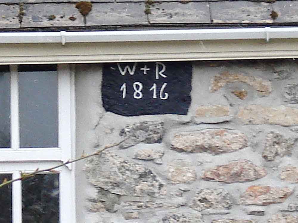
Presumably built in 1816, now modernised.
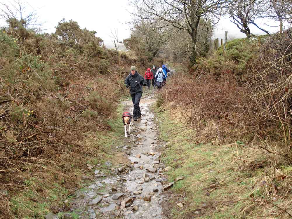
Look where that guide takes us - paths complete with running water, walking up Snap Lane!
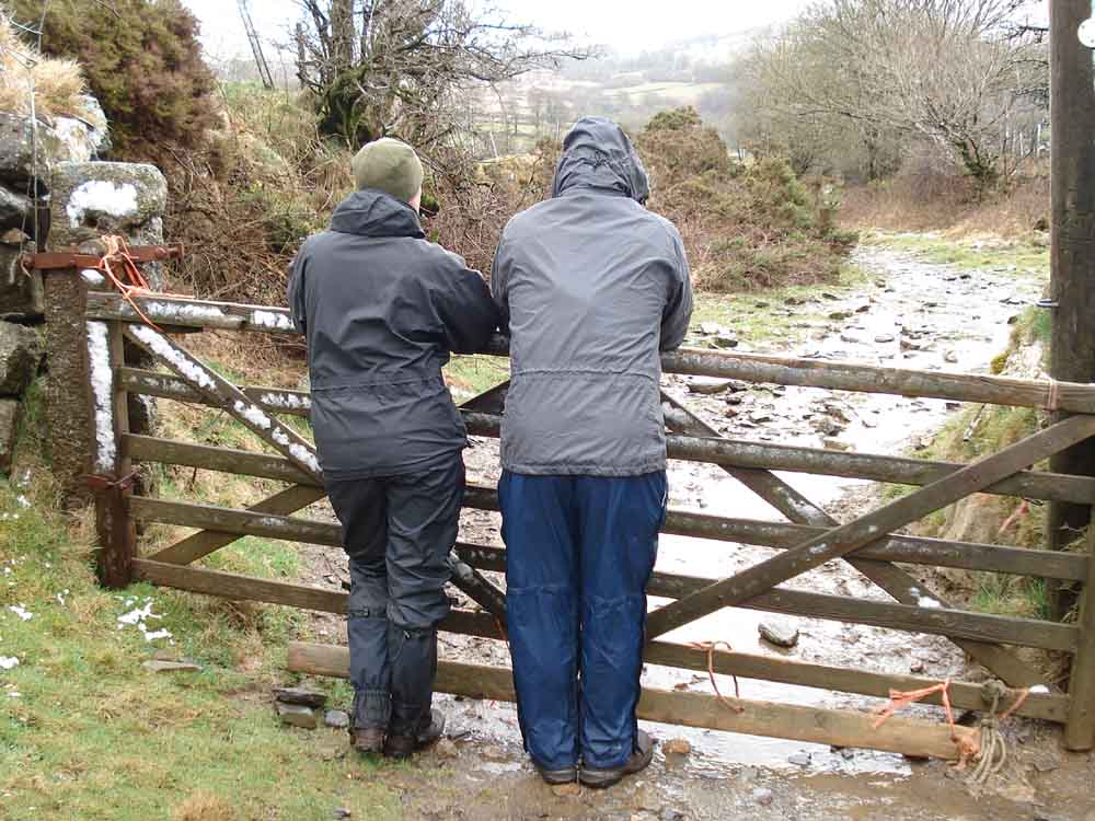
Caption competition .....
1. "Would you buy a used car from this man?"
2. "That's wotsit tor over there and that one over there that's another one"
3. "How close do you mean?"
4. "Did you hear the one about .....?"
5. "If we keep quiet, they won�t notice and go on without us
� then we can sneak off to the pub!!"
6. "Ok - they are looking at something else - pass me the hip flask"
7. "You can never find a bush when you need one!"
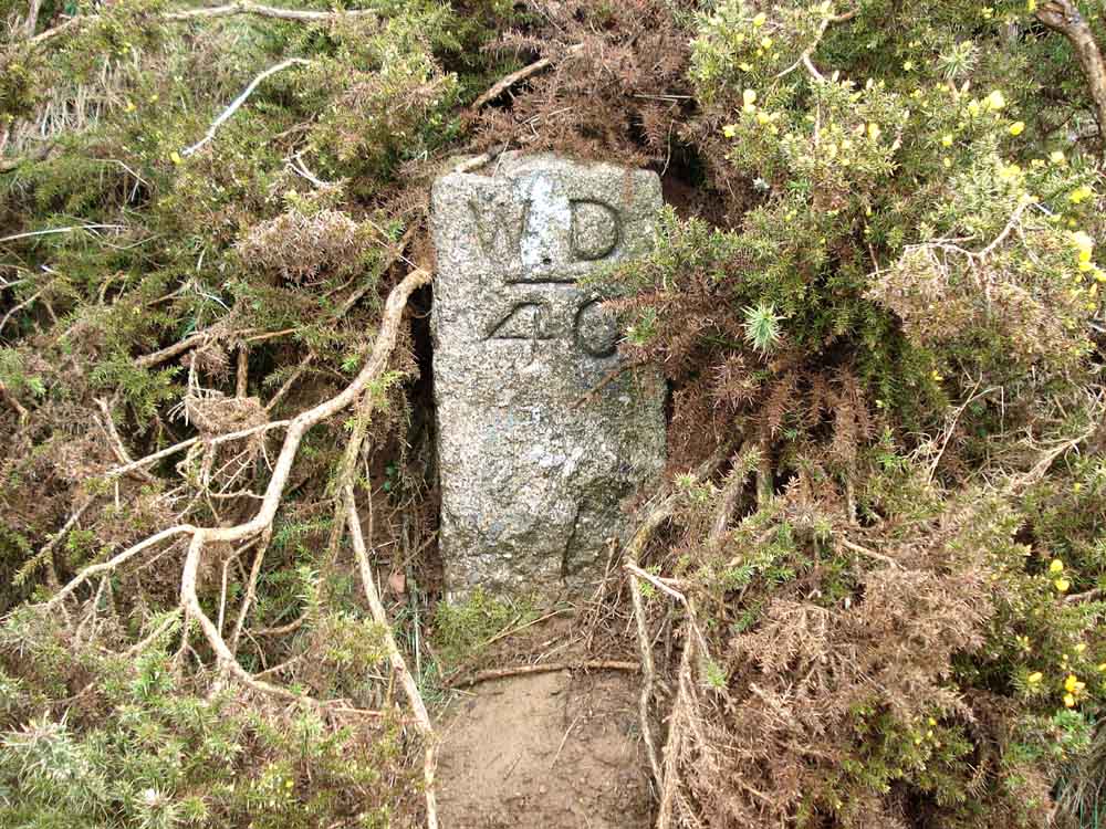
Stone commemorating WD 40? at SX 52907 81643 � 5 metres. Actually, a War Department boundary stone marking the edge of the firing range. The War Department bought the land from the Calmady Hamlyns of Willsworthy Manor in 1903. They marked out their boundary with 46 stones.
Baggator, SX 458 805, elevation 372 metres (1220 feet) .....
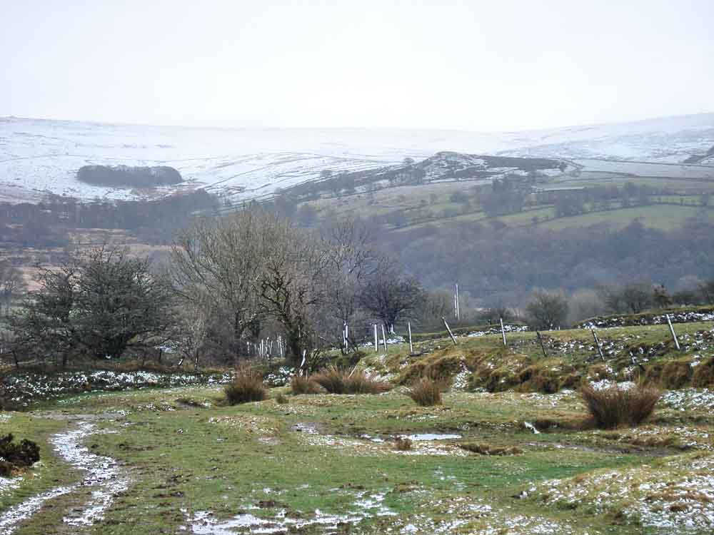
..... with "South Common Plantation" (on the current OS map), the correct name being Round Wood, nearby.
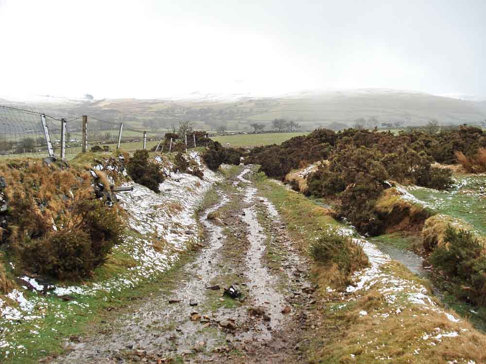
Just a view back along the track we walked, still with running water.
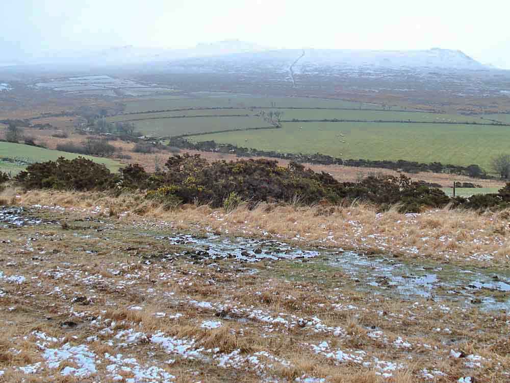
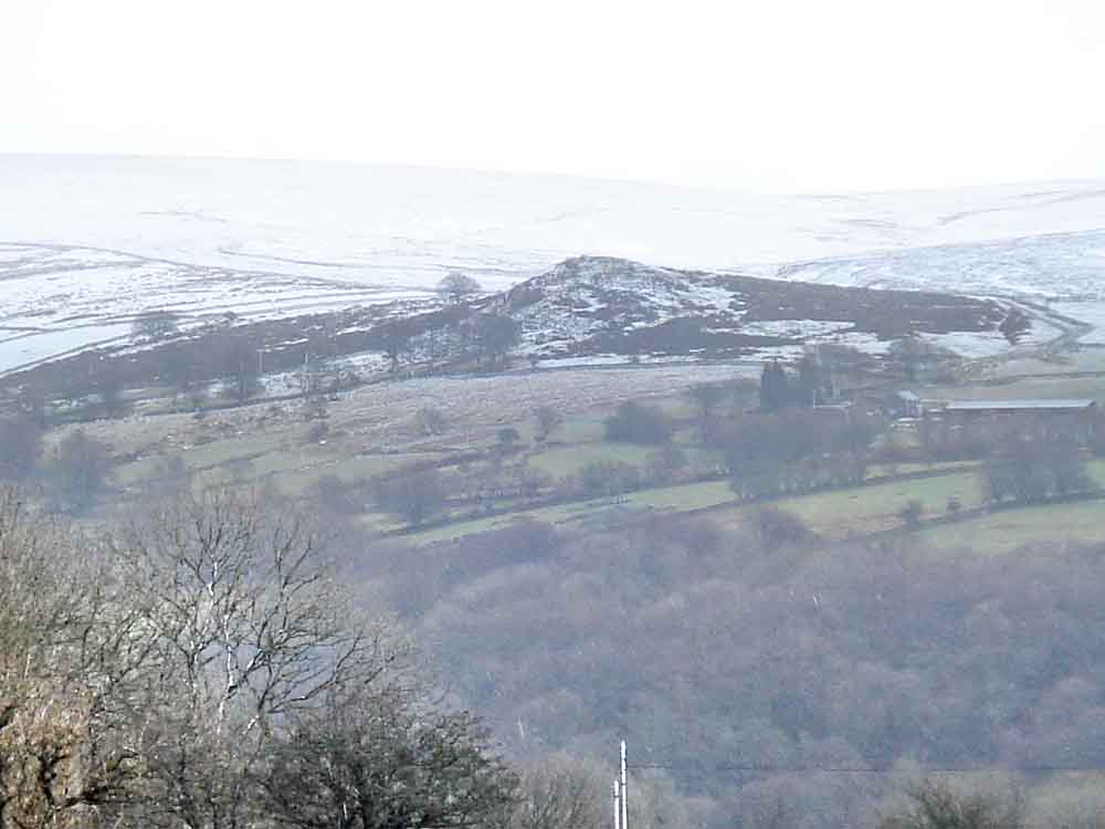
A view to Ger Tor, SX 546 831, elevation 430 metres/1410 feet (right), Hare Tor, SX 550842, elevation 531 metres/1742 feet (centre) and Sharp Tor, 550 848, elevation 519 metres/1702 feet? (left, if you can make it out).
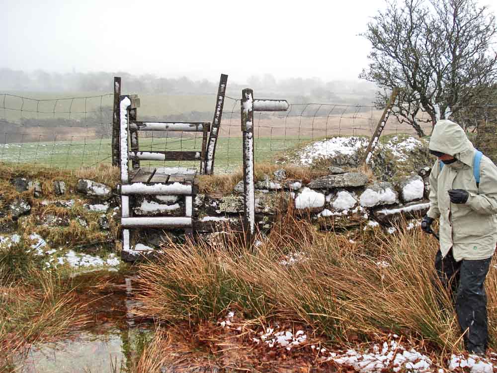
A snow-covered stile along the way.
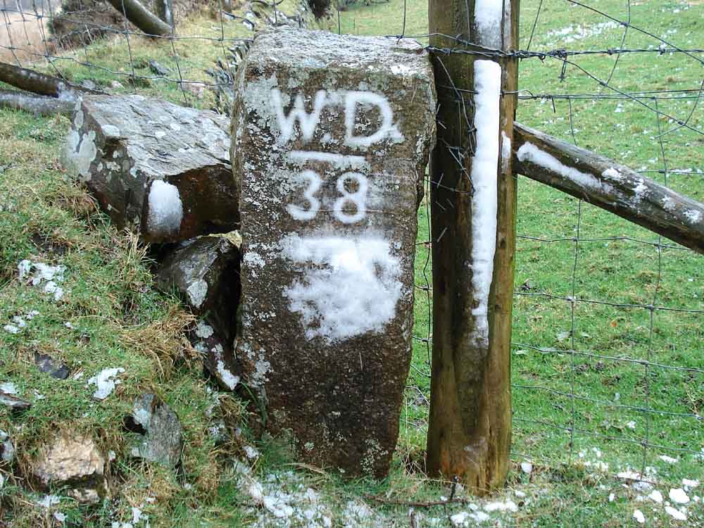
After the snow was wiped clear, WD38 revealed itself.
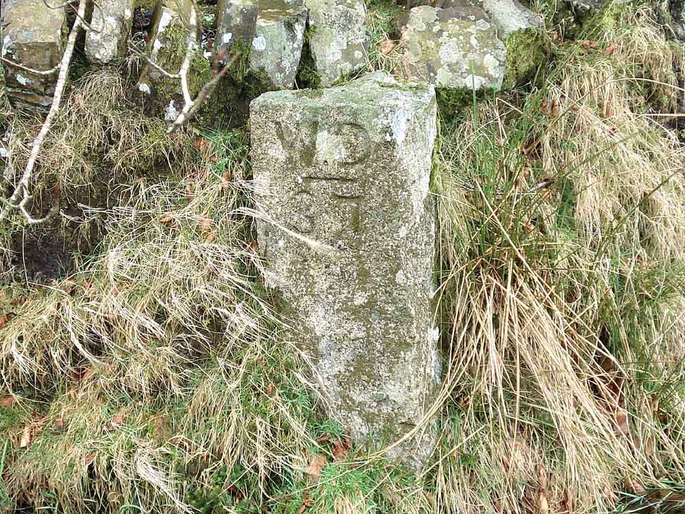
WD37.
Looking along the Lich Way or Lych Way.
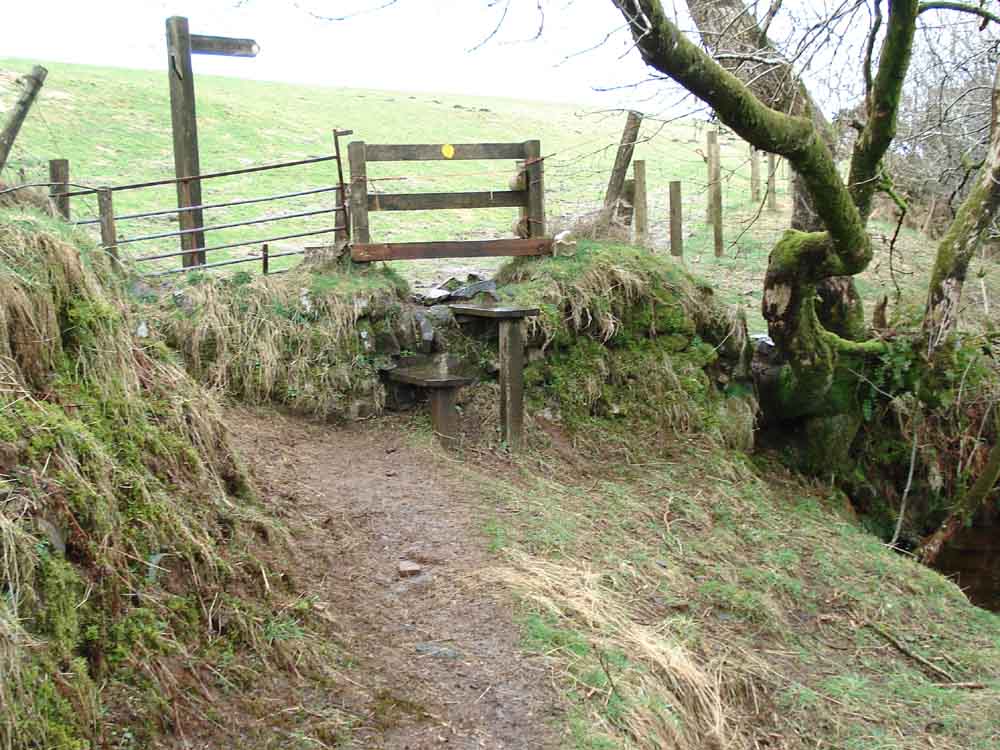
Another stile.
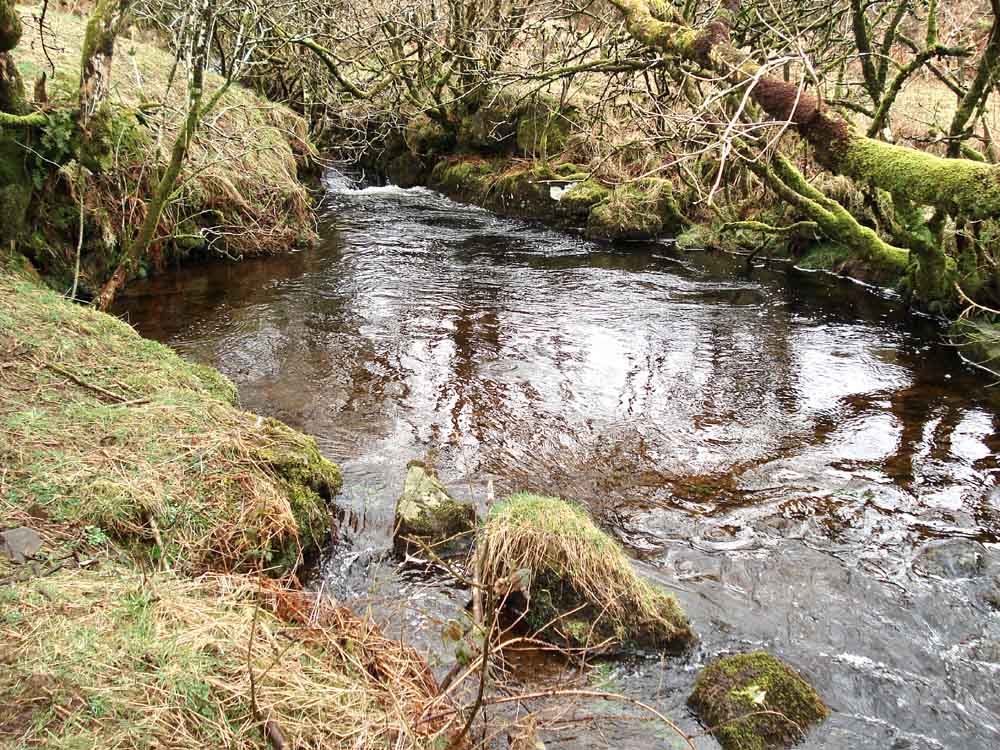
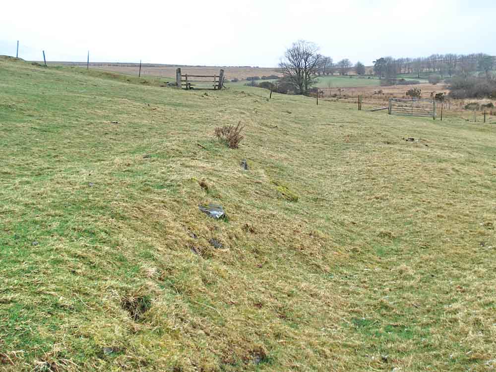
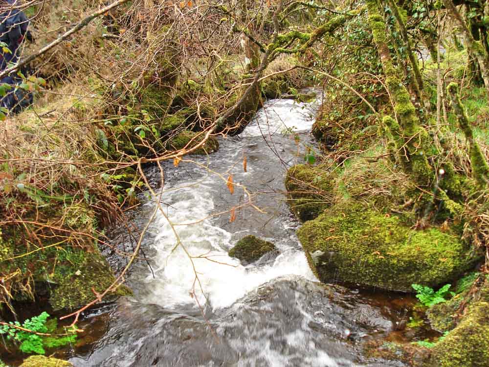
The peaceful waters of Willsworthy Brook .....
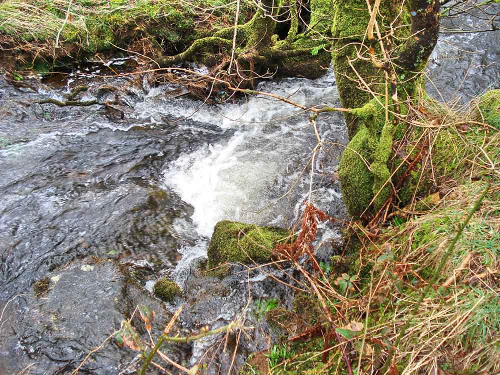
..... ditto .....
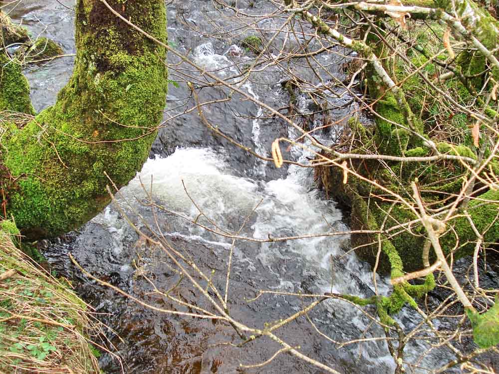
..... ditto .....
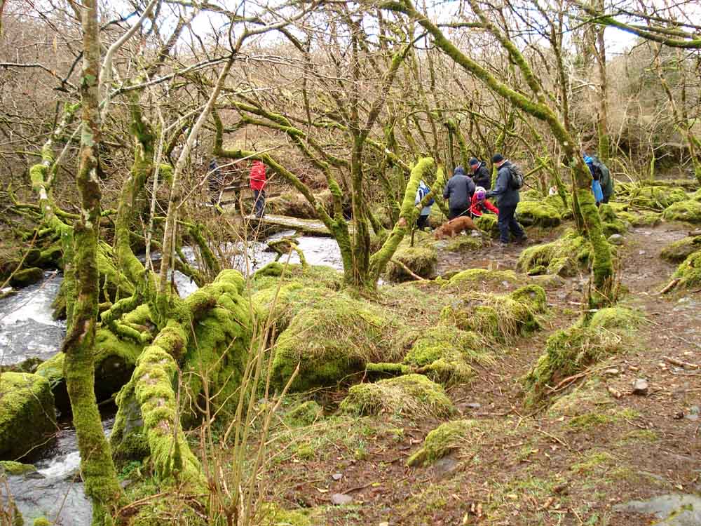
Moor Strollers about to cross the brook .....
..... ditto .....

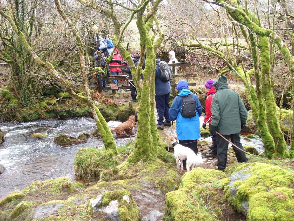
..... a photo from the bridge .....
..... and looking the other way
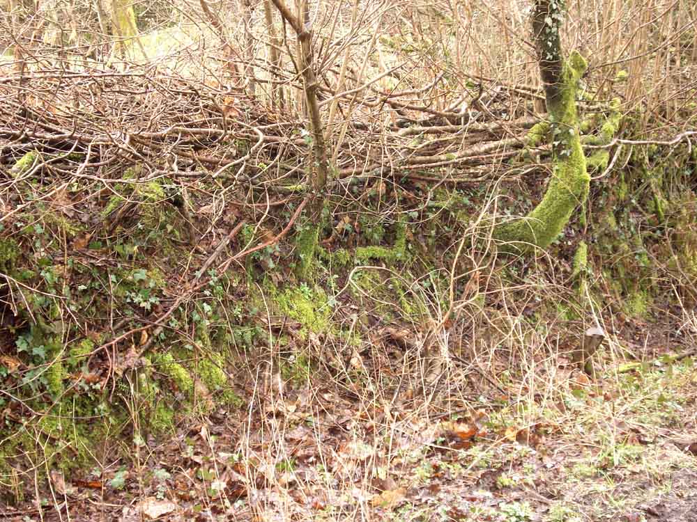
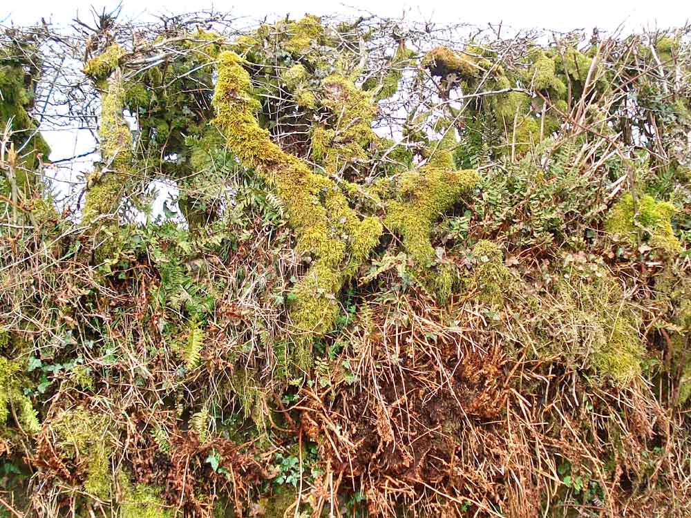
A laid hazel hedge, (see below).
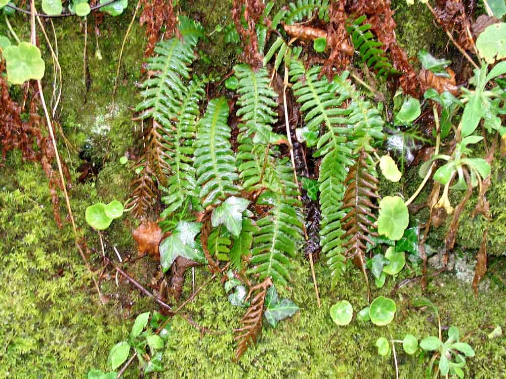
Hard Fern, Blechnum spicant, seen in the moss-covered hedges/walls of the lane.
Maidenhair spleenwort, Asplenium trichomones.
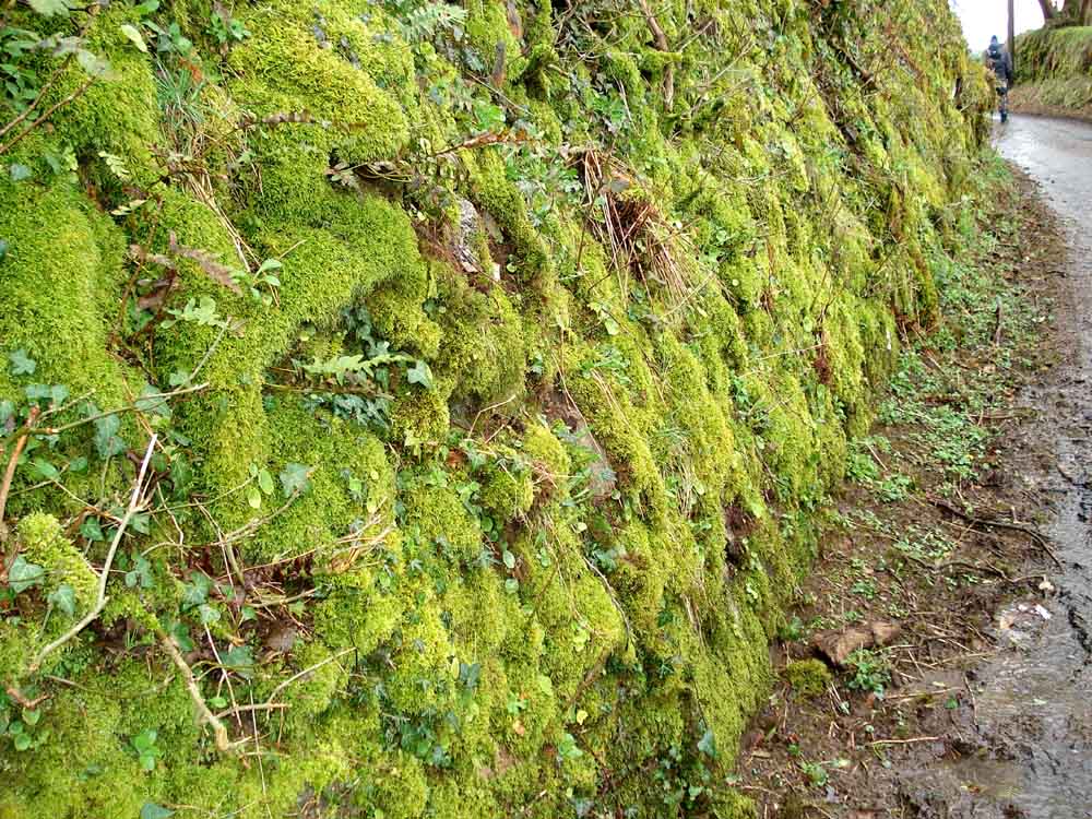
Close-up of the moss-covered hedge/wall.
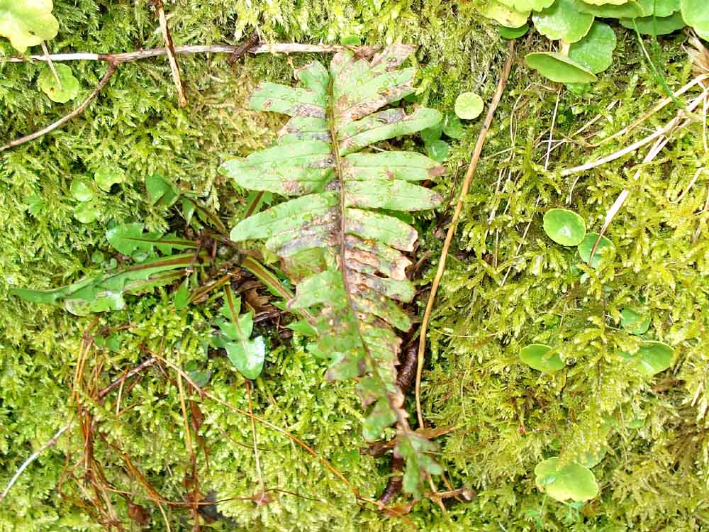
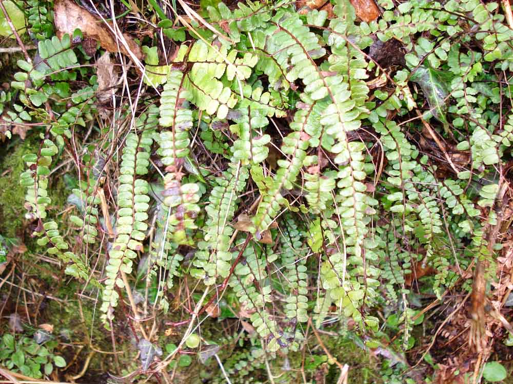
Common polypody, Polypodium vulgare.
More moss-covered hedge in the lane to Lane Head.
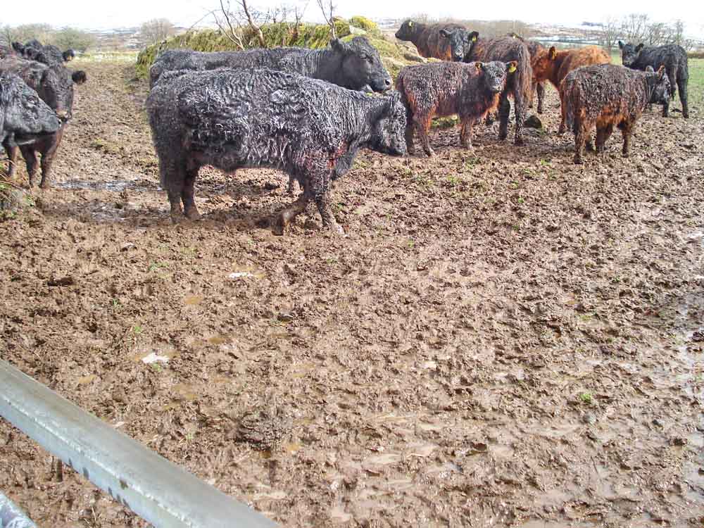
Cows seen in a field next to the lane.
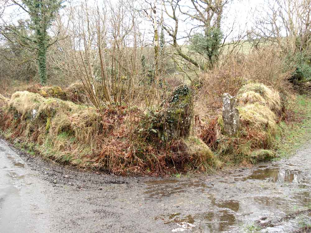
A filled-in gateway, note the gate-hangers on the post on the left.
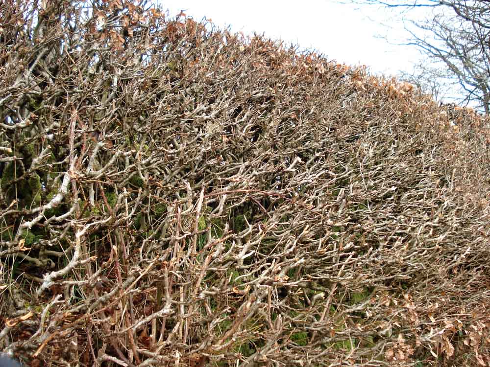
A section of trimmed hedge, believed to be mature laid-hazel (see above).
MAP: Red = GPS satellite track of the walk.
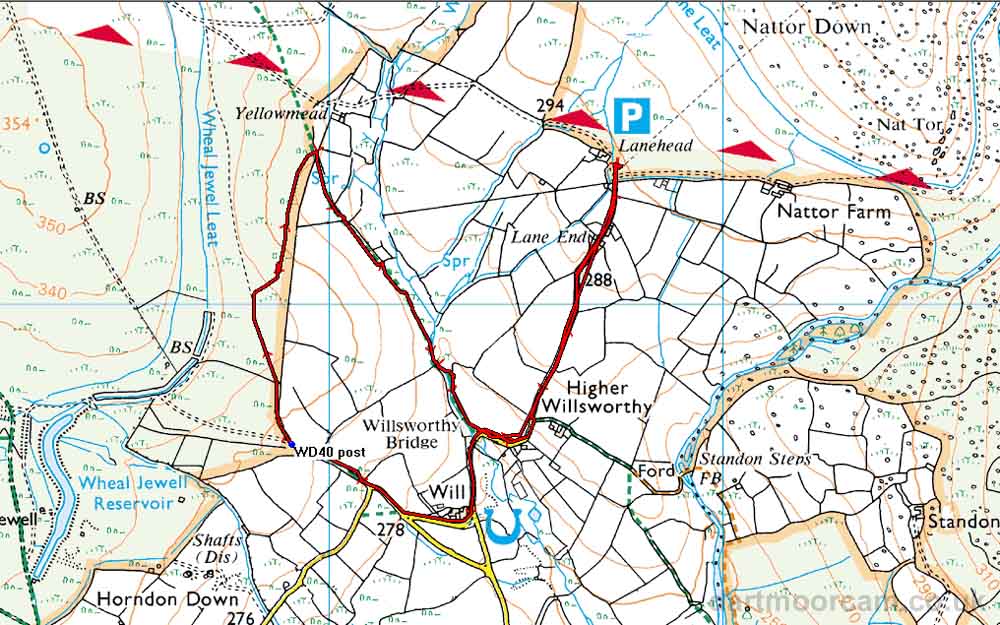
Ordnance Survey © Crown copyright 2005. All rights reserved. Licence number
100047373.
Also, Copyright © 2005, Memory-Map Europe, with permission.
This walk was accessed via the roads from the turn-off beside the Mary Tavy Inn pub (just south of Mary Tavy), following signs for Horndon and then Lane End. Parking was at the P symbol on the map, a fair-sized car park.
Statistics
Distance - 4.95 km / 3.1 miles.
All photographs on this web site are copyright ©2007-2016 Keith Ryan.