![]()


This walk: 2009-1-28. Parking near the Warren House Inn for King's Oven, Vee-stones, unfinished mill stone, Water Hill cairn, Caroline Farm, disused mine shaft.
Walk details below - Information about the route etc.
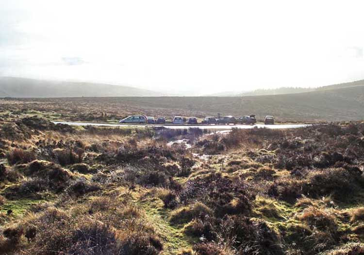
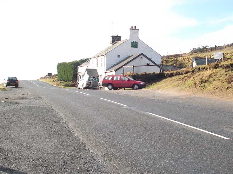
Looking back at the cars.
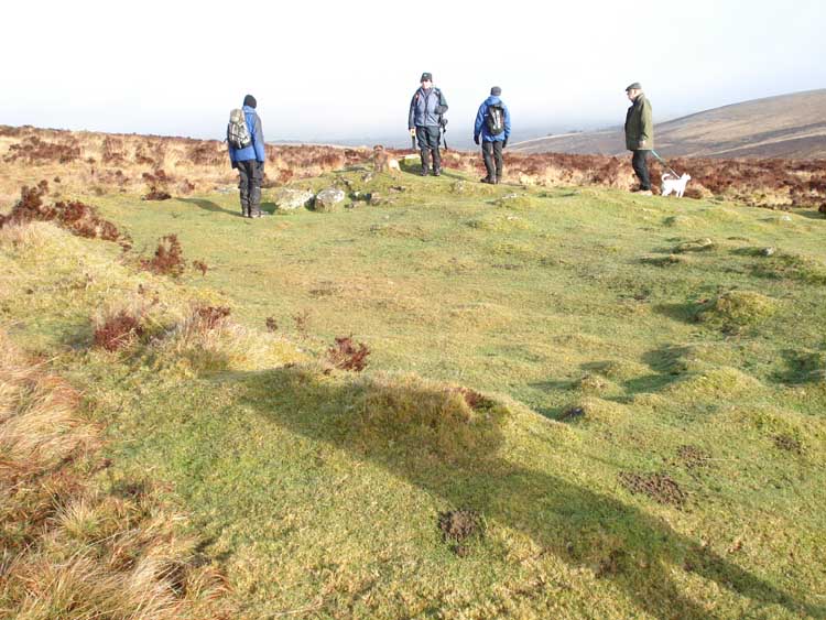
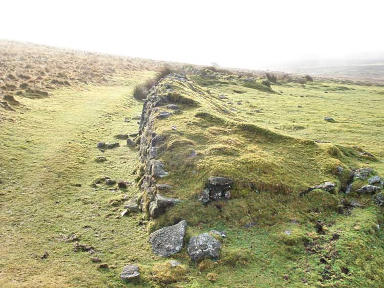
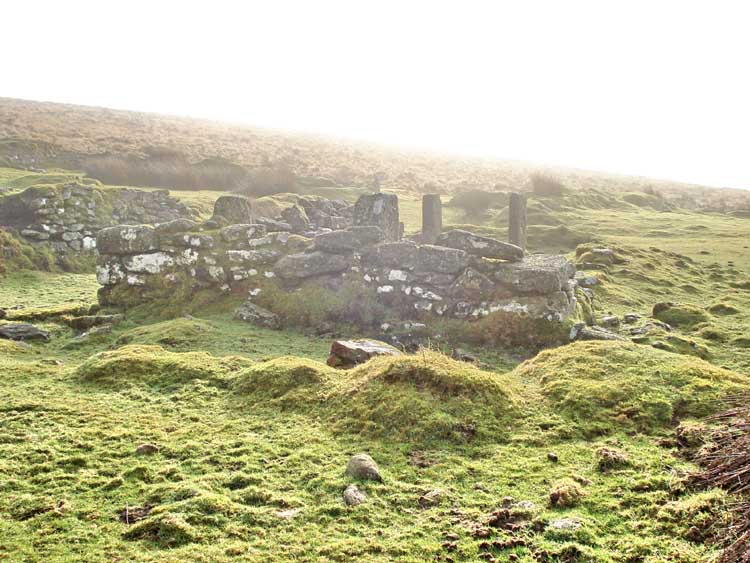
Reaching the first item of interest, a small building of unknown purpose - unless you know otherwise.
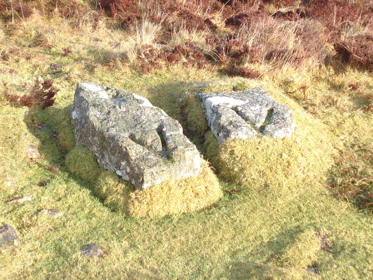
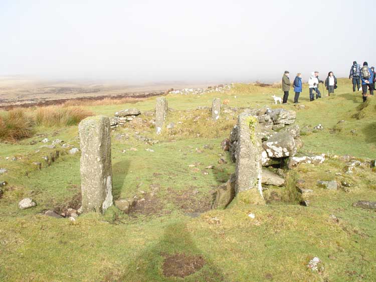
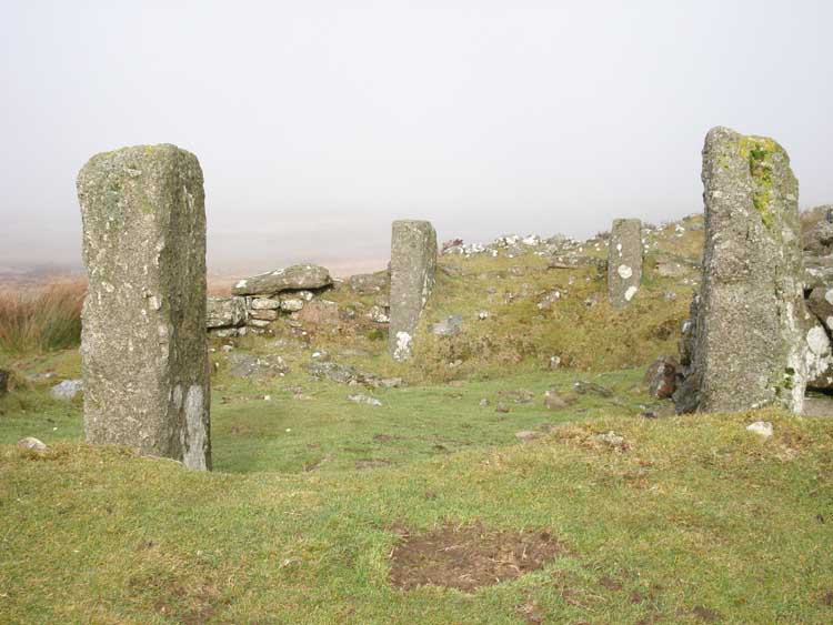
A famous Dartmoor oddity (as described in Dartmoor News, No. 93, Nov-Dec 2006) at SX 67543 81383 � 4m. Several ideas were suggested from being anchor points for rope-spinning to pointing the way to the Warren House Inn.
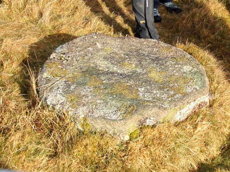
An unfinished mill stone, at approx. SX 67475 81291.
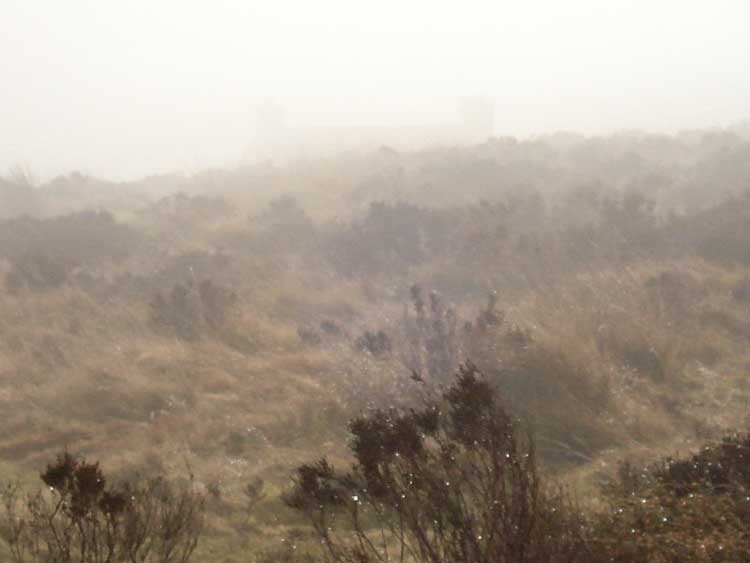
This is the area of King's Oven - the oldest known blowing house on Dartmoor, it was mentioned in the account of the famous Perambulation of Dartmoor Forest, ordered by King Henry III, performed in 1240 AD by twelve knights summoned by the Sheriff of Devon, to map the land as a gift to the King's brother, Richard.
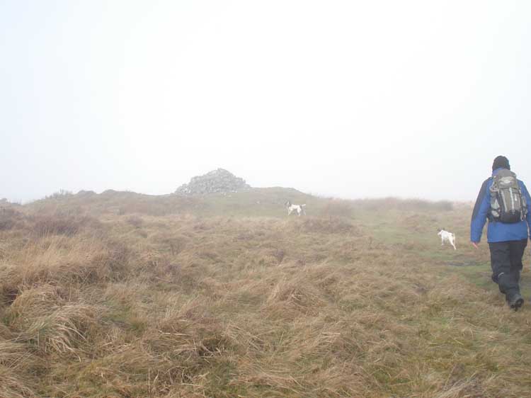
The cairn ot the top of Water Hill, height - 489 meters / 1604 feet.
Walkers leaving the cairn, in the mist - in the centre of the photograph.
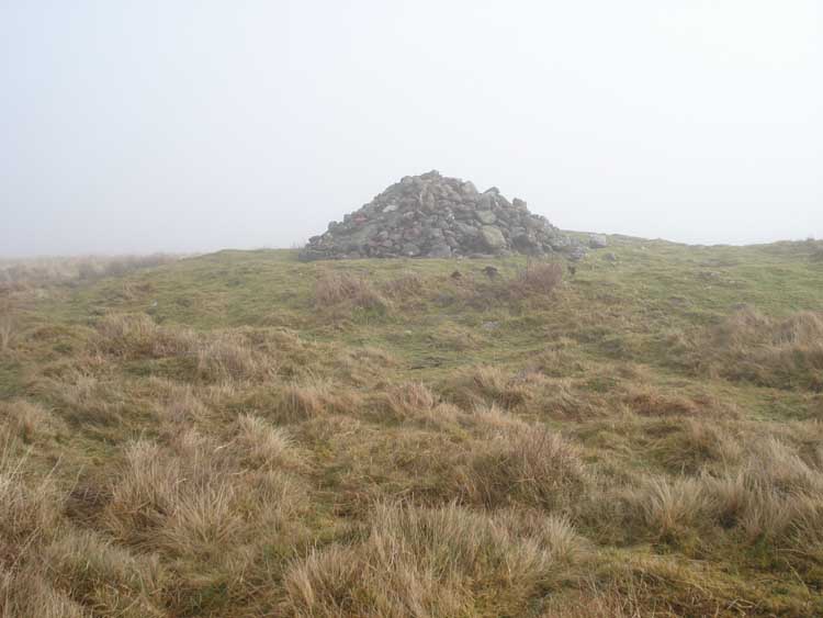
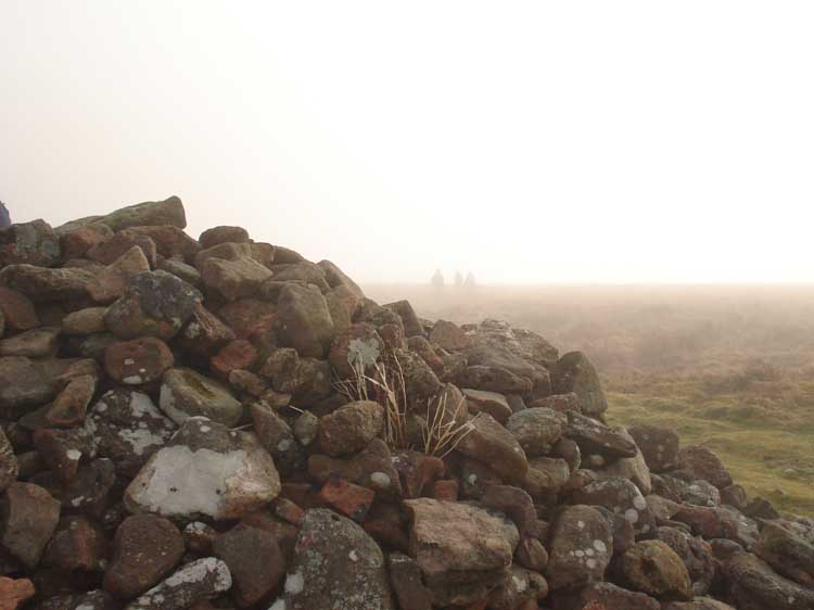
A backward look at the cairn.
View at Caroline Farm ..... as with several photos following .....
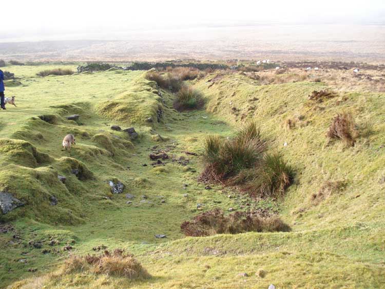
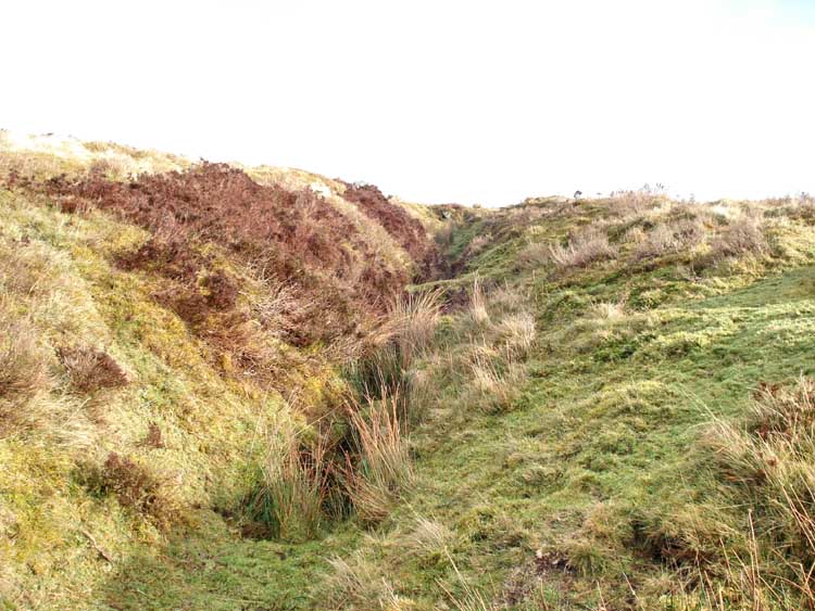
Is this a leat to the nearby mine ..... (see later).
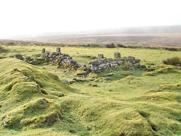
Farm building.
More farm building.
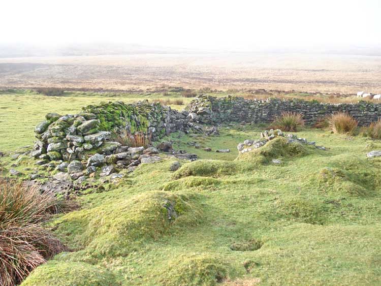
Another view .....
The same building from t'other end.
..... and a lower perspective. The end.
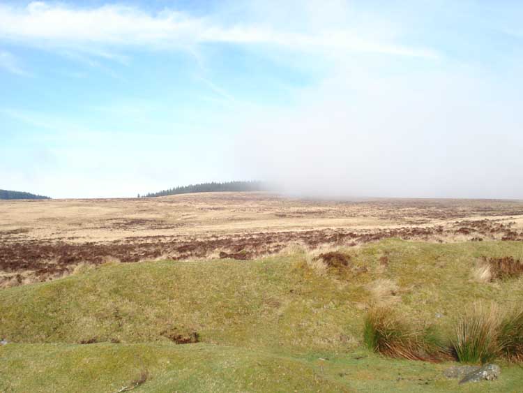
View north towards Assycombe Hill (Fernworthy Forest), showing a low cloud, too white in colour to be mist?!
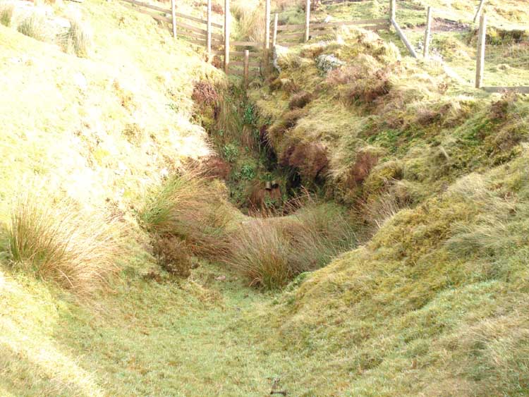
"Disused shaft", on the OS map at SX 67075 80951. In the background there appears to be a leat, so did it bring water to a wheel at this point?
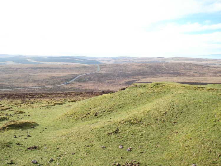
Looking south-west towards Postbridge.
A closer look at the leat.
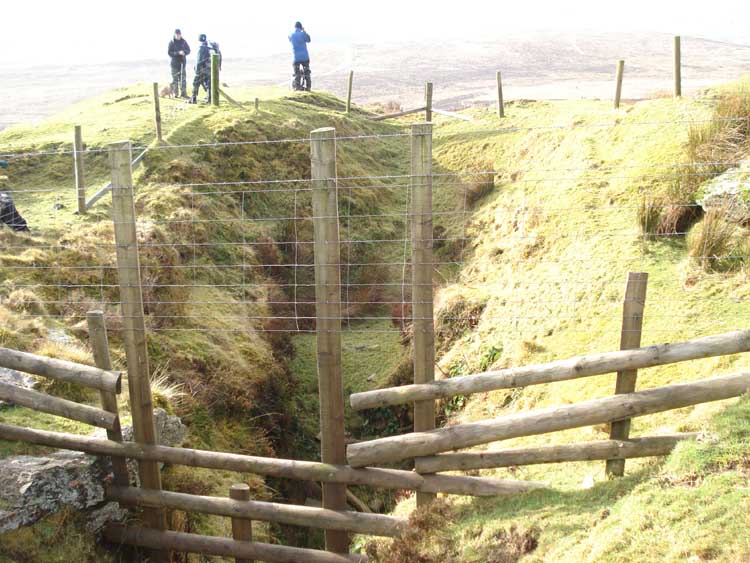
Another view of the shaft.
A look back at the Warren House Inn.
MAP: Red = GPS satellite track of the actual walk.
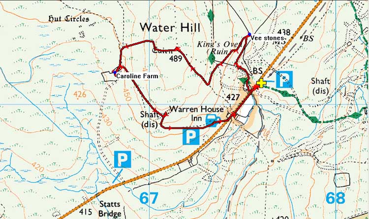
Reproduced from Dartmoor OS Explorer map 1:25 000 scale by
permission of Ordnance Survey
on behalf of The Controller of Her Majesty's
Stationery Office.
© Crown copyright. All rights reserved. Licence number 100047373.
Also, Copyright © 2005, Memory-Map Europe, with permission
The road to the walk was straight past the Warren House Inn, on the B3212 via Postbridge. Parking was at the yellow cross / P symbol on the map.
Statistics
Distance - 2.9 km / 1.8 miles.
All photographs on this web site are copyright ©2007-2016 Keith Ryan.