![]()


This walk: 2010-11-4. New Bridge, canoeist, River Dart, Royal Fern, Two Moors Way marker stone, mosaic of leaves, playful pony, crab apples, holly berries, Leigh Tor, pumping station, water trough, lichen/fungus, autumn colours, water lily (Cape Pond Weed).
Walk details below - Information about the route etc.
This walk should be browsed in combination with 2010-10-27 New Bridge - the same walk, repeated.

Looking across New Bridge from the car park.

A canoeist on the River Dart ..... apparently holding station in "slack" water below a rocky outcrop where the water rushes over rocks and then seems to come back on itself, resulting in area of water that is not rushing downstream.

Zoomed view.

A clump of the rare Royal fern, Osmunda regalis, with some "green" still showing as the rest of the plant shows autumn colours .....

Close-up of a frond's vegetative pinnae, lacking sporulating sori (sing. sorus) .....

..... and rows of its individual pinnules, which are undivided .....

The Royal fern is remarkable because its reproductive spores are carried on a different form of frond compared to the normal, vegetative leaf. A sporulating, or fertile, frond is seen shrivelled in this photograph.

The path climbs up beside the river.

A mosaic of fallen autumn leaves, oak, beech (oval, pointed) and hazel (rounded, pointed, toothed).

Marker for the Two Moors Way, between Ivybridge and the north coast of Exmoor.

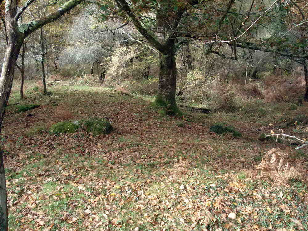
An open area of woodland with the River Dart flowing off the right edge of the photograph.

A composite tree bole.

A playful Dartmoor pony on the area known as Deeper Marsh.

"Hello"

Open area near Deeper Marsh with a car park on a small road in the distance, near the Iron Age pound (2,000 years old) .....
Looking at the edge of the two ramparts and central ditch that marks the Iron Age pound.

The ivy has a real grip on this tree!

River Dart .....

Closer view of a white water area .....
| Dartmoor CAM movie Some white water rushing down the River Dart, panning left to a stretch of quiet water where the river bends away from the camera, and panning back again.
|
|
Click the photo to download File size: 2 MB. Time to download: e.g. 12 secs Length 25 secs |

On a bend in the river, where the river runs away from you. The road is up on the left, behind the fence.

Crab apples, small, very hard and very sour!

Open path running up to the top of Leigh Tor.

A nicely shaped tree.

Holly, laden with berries - sign of a bad winter to come?

Holly berries .....

Holly berries .....

Another general holly photo.

Leigh Tor, SX 711 714, elevation 180 metres (590 feet).

Leigh Tor.

Looking down the side of Leigh Tor - the hard way to come up!

Leigh Tor pumping station, with a probable 200 MHertz data transmitter - to where? Last week is was said that the aerial lines up with a distant mast. The question was asked where does this station pump water from and to .........

Could it be for the drinking trough in this photo?!

The water pressure behind this ballcock was substantial!

Stag's horn fungus, Calocera viscosa, also here - it can be yellow or white.

Again.

A fallen silver birch tree - the roots are at the back and the tree is touching the ground at the point near the camera, quite striking.

Autumn colours, see the holly tree at the back, the yellow appears to be a silver birch - the blue prompted thoughts of Eucalyptus

As previous photo, zoomed view. The "blue" shrubs were identified at home by leaf (ovate, smooth margins, up to nine pairs of veins curving towards the margin) and twig (with white streaks formed by lenticels) as the thornless Alder-Buckthorn, Frangula alnus, which can be invasive.

The same photo, cropped for the red holly in the distance - portent of a hard winter to come?

The Victorian Hannaford Lily Pond .....

Again .....

And again, now believed to be the sweetly-scented Water Hawthorn or Cape Pond Weed, Aponogeton distachyos.
MAP: Blue = planned route, Red = GPS satellite track of the walk.
The blue lines are the compass or GPS bearings. The red line is the route actually walked: it deviates sometimes from the blue lines to avoid obstacles such as thick bracken, gorse, bogs or clitter, and often to use paths or animal tracks that are not on the map. It may also be shorter than the planned (blue) route if the walk is curtailed for some reason.

Ordnance Survey © Crown copyright 2005. All rights reserved. Licence number
100047373.
Also, Copyright © 2005, Memory-Map Europe, with permission.
This walk can be accessed by roads from Two Bridges - Dartmeet - Poundsgate OR from the A38 exit at Ashburton (Plymouth side) - Summerhill Cross - Holne Bridge. There is good car parking and toilets at the P / yellow cross symbol on the map.
Statistics
Distance - 4.85 km / 2.9 miles
All photographs on this web site are copyright
©2007-2016 Keith Ryan.
All rights reserved - please
email for permissions
