![]()


Walk details below - Information about the route etc.

A specimen oak tree.

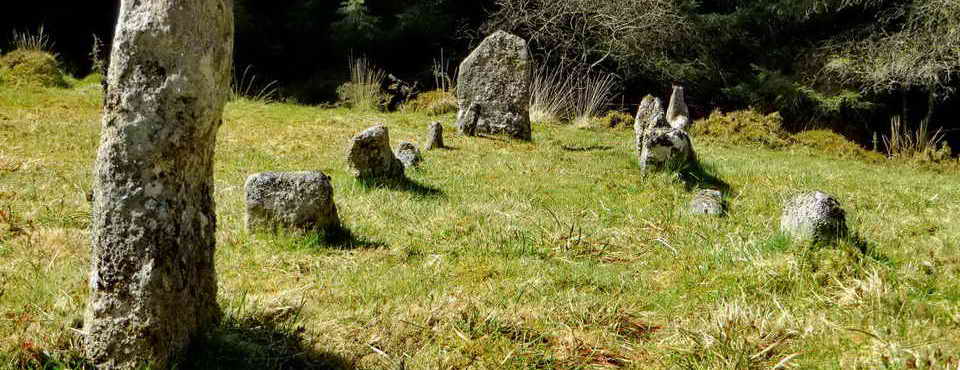
Trees growing on a stone box .....

Honest!

Looking down the River Meavy from the road bridge at Goodameavy.

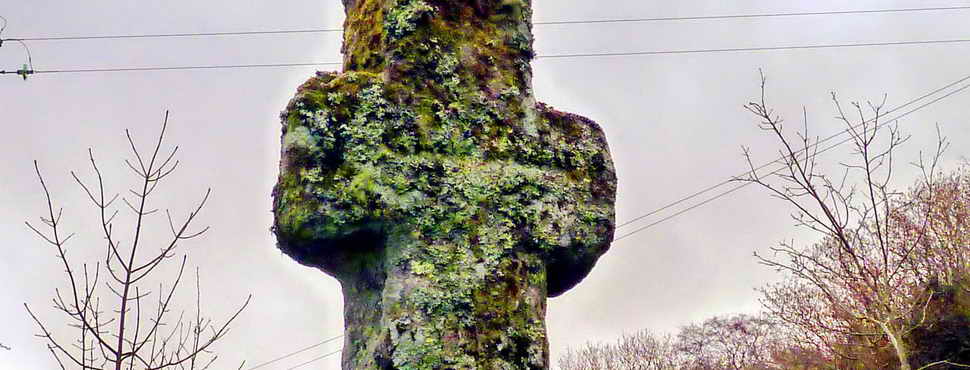
Alleluia Cross, at the top of the long hill from Goodameavy/Lower Goodameavy ..... more than 70 metres of ascent (that's 230 feet in English - upwards!).

Actually, Urgles Cross - on the monks' route between Buckland Abbey and Shaugh Prior .....

From the opposite side, showing more poor souls emerging from the hill.

Three trees in a tight group.

A sunken lane .....

Another view.

Yes - definitely - the Eddystone!

Top of the Dewerstone in the distance.

Two shaped trees.

Picking our way back down the slope of the woods again.

Woodland view.

Cable brake drum on the inclined plane of the Dewerstone Quarry, for pulling up trucks bearing stone as they went to the upper level .....
Addendum: "Descent to the lower track was achieved by use of an inclined plane railway. The inclined plane is 400 yds (365m) long with a fall of 200ft (61m), a gradient of 1:6. A counter balance system was used whereby full trucks descending pulled up empty trucks for filling. A winding house at the top of the incline controlled the cable system. The ruins of the winding house and the sets for mounting the sleepers are still visible today." Source: Callington U3A Newsletter - December 2009, page 3.

Detail of the few remnants of the brake drum mechanism, already a ruin in a photo from 1912, nearly 100 years ago.

Close-up of the winding gear axle and bearings.

Close-up of a retaining clip, of sorts, with the entrance to the covered gulley where the winding cable(s) exited from the winding gear (behind).

Stones covering the gulley that contained the winding cables, they exited roughly in the middle of this photo to run down the inclined plane (see previous photo) .....

A view from behind the winding house, looking down the incline - not that it shows in this photo .....

Going down the inclined plane .....

Looking back up the incline .....

As previous photo .....

A granite sett with one rail fixing hole .....

A sett with two fixing holes .....

A sett with four fixing holes .....

A sett with four fixing holes where one still has a rail-fixing nail in place .....

Close-up of the nail in the previous photo .....

As previous photo.

Rain water run-off flowing down the track over a sett with two nails in place.

As previous photo - the following day.

At the bottom of the incline, the water drains down through the wood .....

The water running down through the wood .....

Close-up.

An old circular crane base in the quarry .....

Same thing from further back, looking into the quarry ..... note the tree on the right (in next photo) .....

Impressive tree roots seen on the right in the previous photo.

Bend in the old horse-drawn railway track: the isolated rock is known as "The Pixie" (on the www.Shaugh.net web site) by Shaugh people. Click here for a 10-minute video tour of Shaugh Prior and surrounding area.

The long paved track down to the car park .....

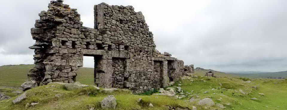
The blacksmith's "Smithy" of the old Ferro-Ceramic Company's iron mine .....

As previous photo - from the opposite side. We thought the circular stone at the bottom of the wall may have been for removing ash from a fire inside the building.

Another reminder of the fast-flowing River Plym.
| Dartmoor CAM
movie
The River Plym.
|
|
Click the photo to download File size: 3 MB. Time to download: e.g. 13 secs Length 33 secs |

An iron mine adit .....

And again, inside.

Wheelpit for the iron mine, it once housed a 16-foot wheel: "The plant included a Brogden and Casper's improved tunnel kiln, two working sheds adjoining the brick kiln, nearly completed, tramways, eighteen iron tram wagons, two turntables, a 16 ft by 3 ft water wheel, tools, tramway metals, about 60 tons of iron ore, the manager's office, and a smith's shop." Source: British Brick Society Information, 1995, page 9, The Ferro-Ceramic Company - this is a slow-loading web site. Tip: Click on 00000009 (= page 9).
The web link seems to nolonger work, it was: arct.cam.ac.uk/personal-page/james/bbs/bbs_64.pdf with "www." at the beginning.

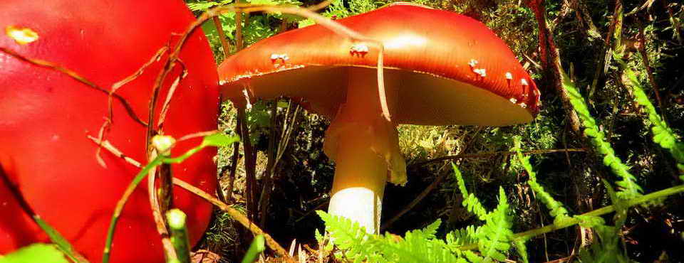
Common Polypody, a fern growing among moss on a tree branch leaning over the River Plym.

Final view down river, looking under the road bridge down the River Plym.
MAP: Red = GPS satellite track of the walk.

Ordnance Survey © Crown copyright 2005. All rights reserved. Licence number
100047373.
Also, Copyright © 2005, Memory-Map Europe, with permission.
This walk was accessed by driving down the hill through Shaugh Prior to the car park on the right before crossing the bridge over the River Plym. Thew car park is marked by the yellow cross symbol on the map.
Statistics
Distance - 5 km / 3 miles
All photographs on this web site are copyright ©2007-2016 Keith Ryan.
All rights reserved - please email for permissions
