![]()


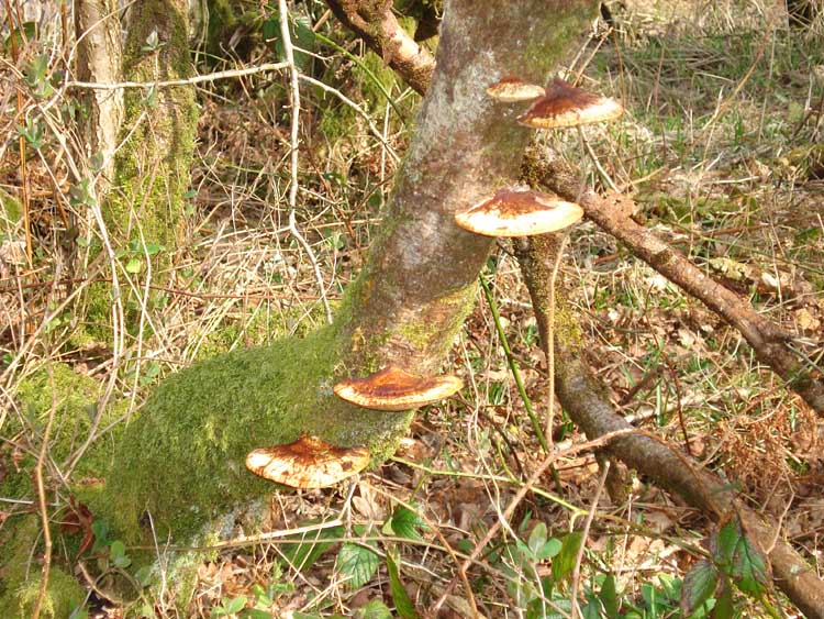
This walk: 2009-3-18. Burrator, dam, gorse, suspension bridge anchor points, earth dam, Longstone Manor, cider press, cider keeves, windstrew - raised threshing floor, slotted gate post, wild daffodils, bracket fungus - all on a clear, blue-sky day with some haze in the distance.
Walk details below - Information about the route etc.
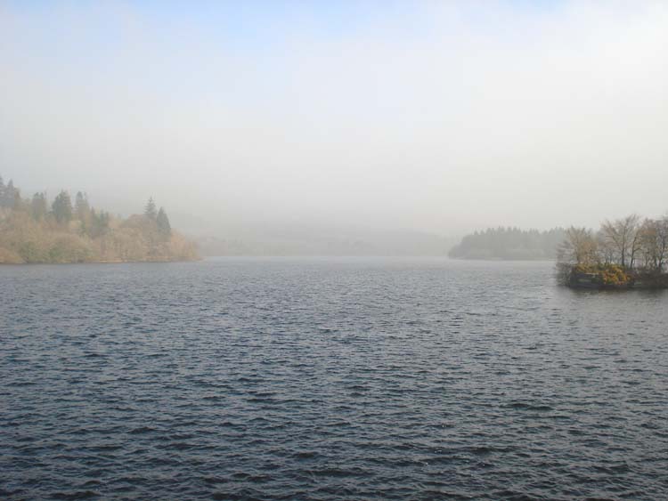
Looking from the centre of Burrator Dam up the reservoir - this is the hazy photograph!
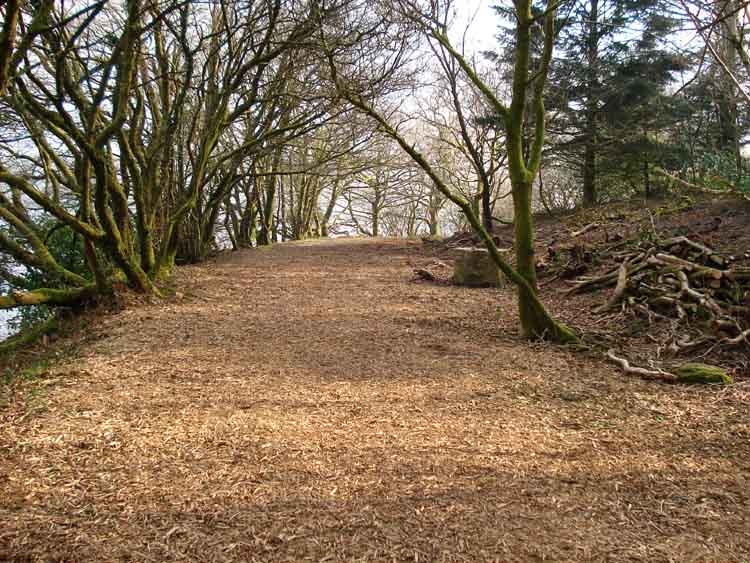
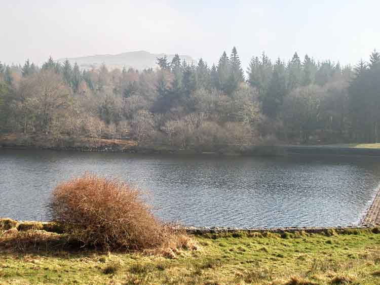
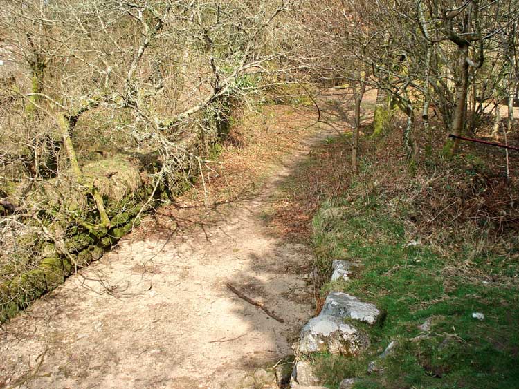
The lake-side walk.
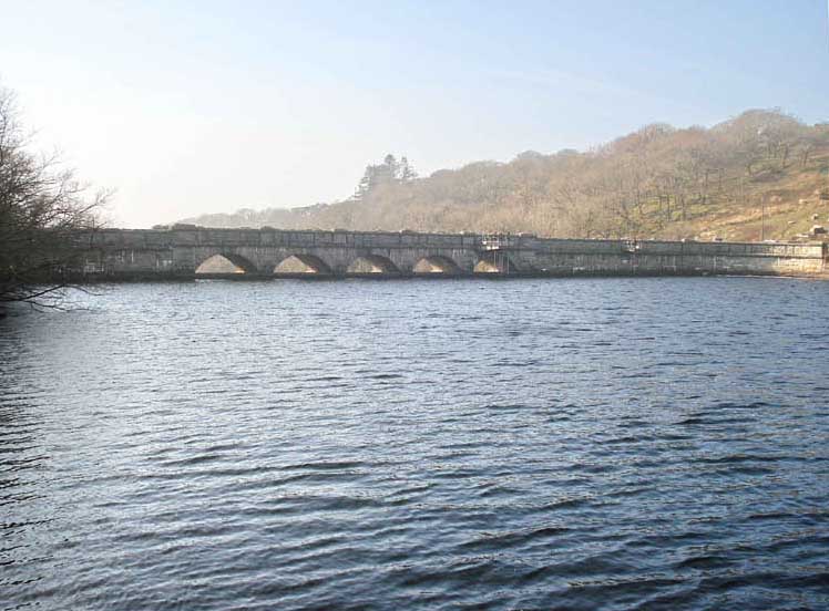
Looking at the dam from the pier where a suspension bridge once stood, which was for crossing the valley as the dam was being built.
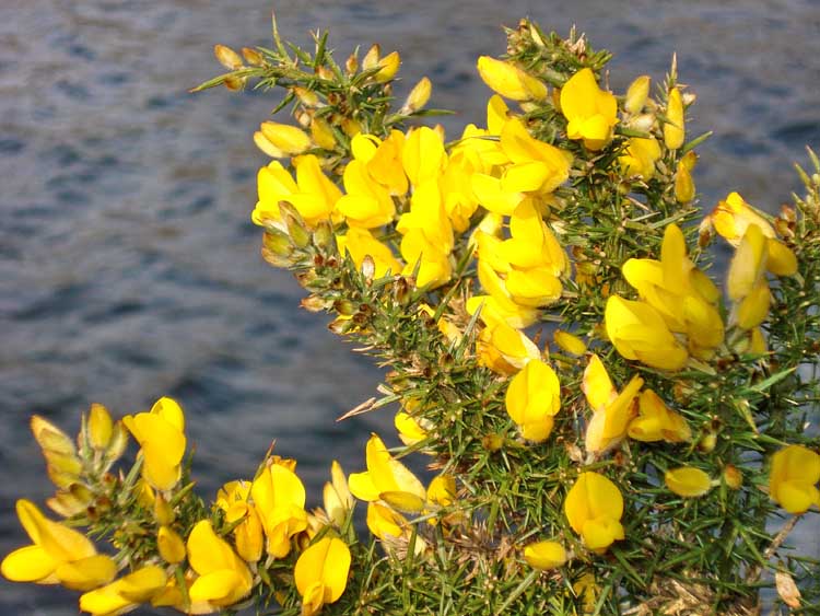
Common Gorse in bloom (as opposed to the low-growing Western Gorse).
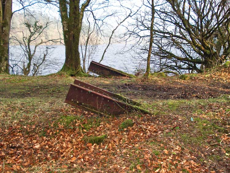
Anchor points for the old suspension bridge.
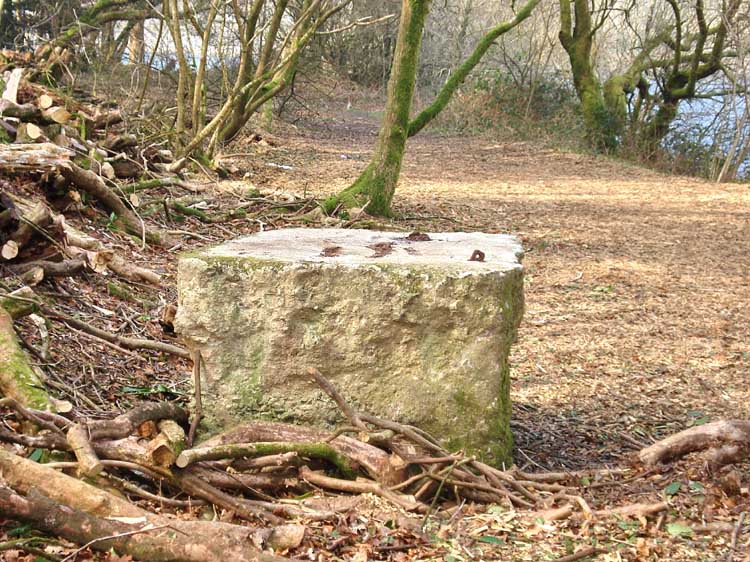
Granite block - what was it for? No doubt featured in Block of the Month.
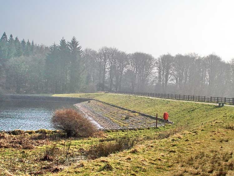
The second, earth dam.
Sheepstor seen in the distance, from the end of the earth dam.
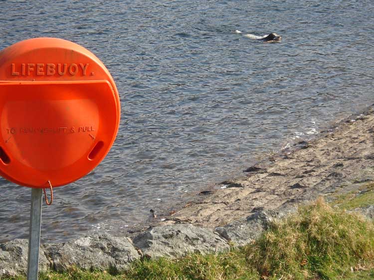
Hero, not needing the lifebuoy.
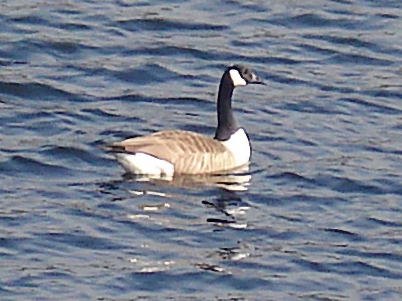
Canada Goose - maximum zoom and handheld, not very sharp.
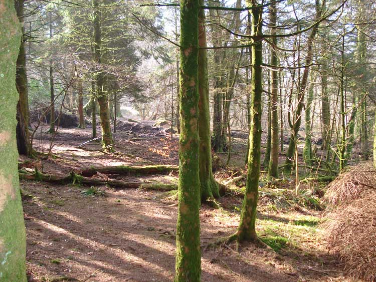
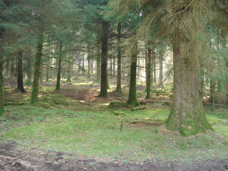
Light and shade, in the trees around the lake.
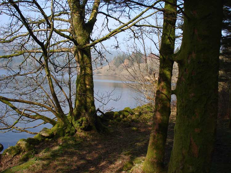
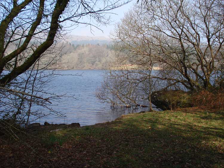
Another lakeside view.
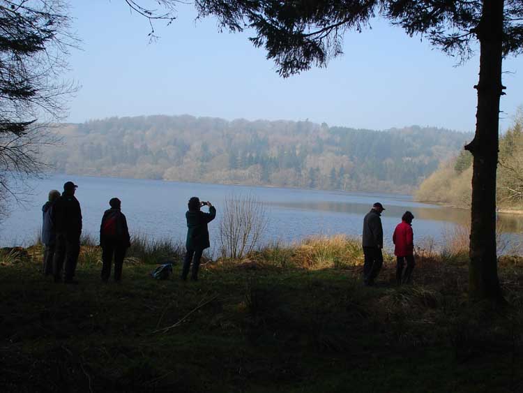
Silhouettes beside the lake.
The submerged road emerging from the lake towards Longstone Manor.
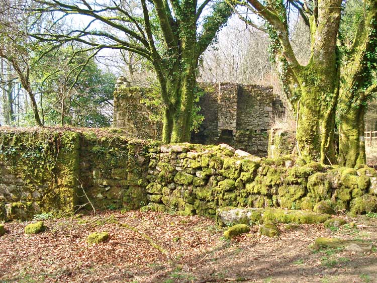
First view of Longstone Manor, abandoned.
Longstone Manor.
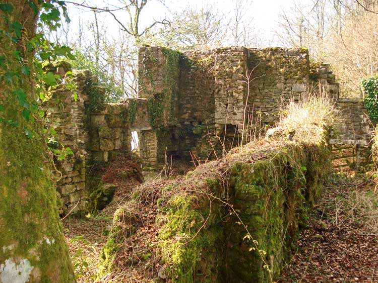
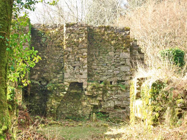
Another view.
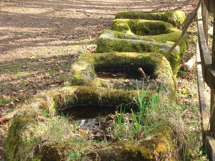
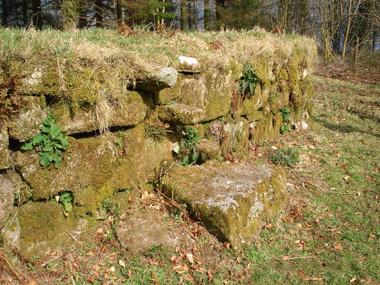
Cider keeves (keeve or kieve), for catching the pressed apple juice.
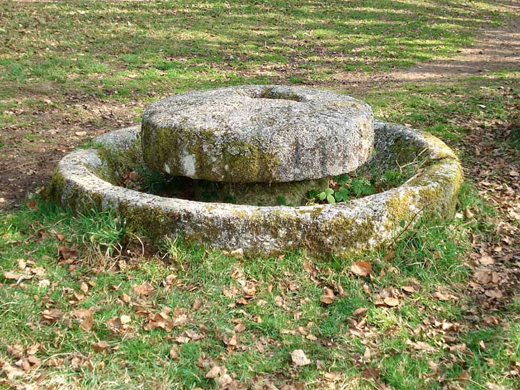
Granite cider press, a circular stone trough in which a wheel ran, drawn by a horse. The wheel is resting flat on top of the structure.
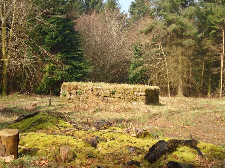
A windstrew - a raised threshing floor, reputedly one of only two in the country. Before the trees were planted, this was an open area and the elevated location allowed the wind to take the chaff as the corn was hand threshed with a flail, locally called a drashel (made of two wooden sticks joined by a piece of leather).
Steps up on to the threshing floor.
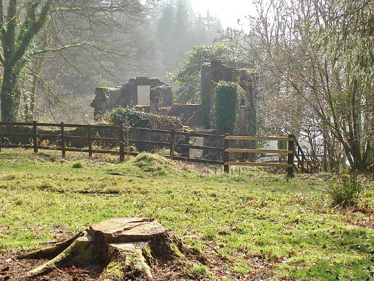
Another view of the Manor house.
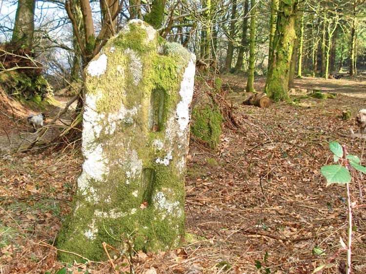
Slotted gatepost.
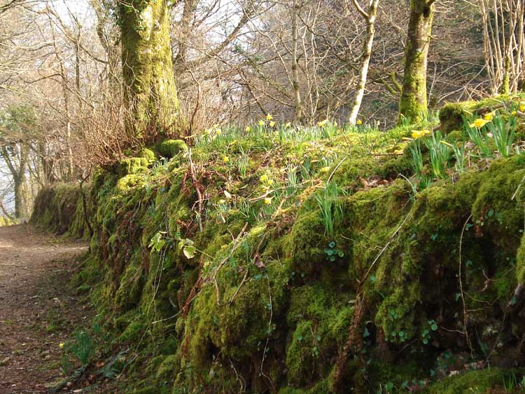
Wild daffodils in the bank along the lane.
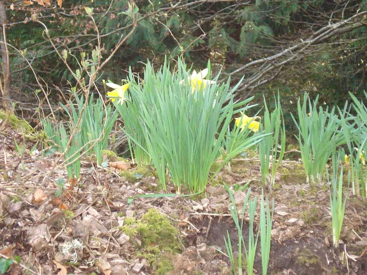
Wild daffodils.
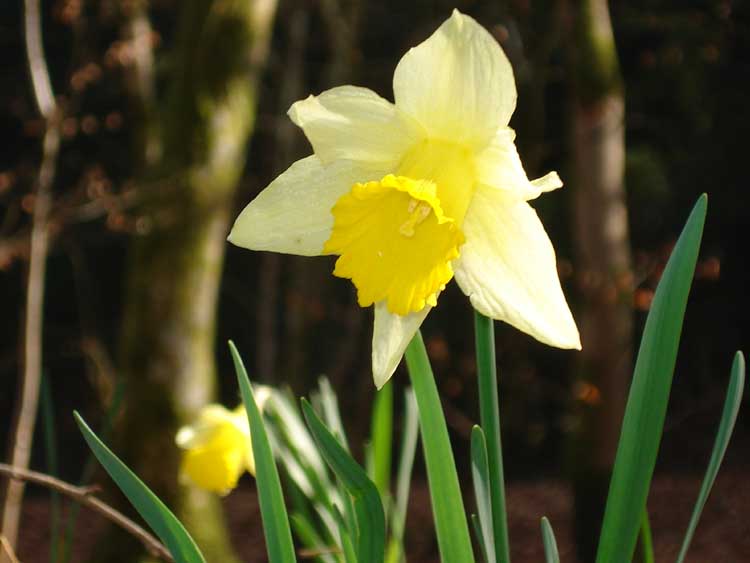
Wild daffodil.
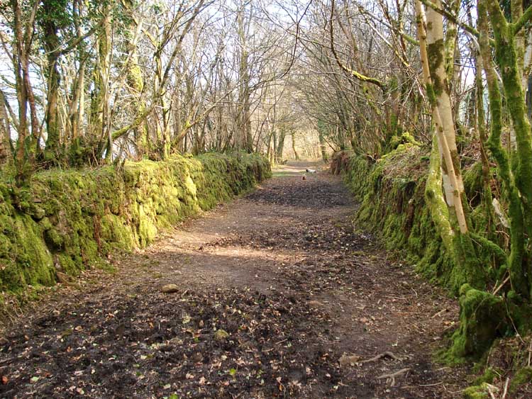
Another lane scene.
Looking across towards the lower slopes of Leather Tor.
Light and shade, again.
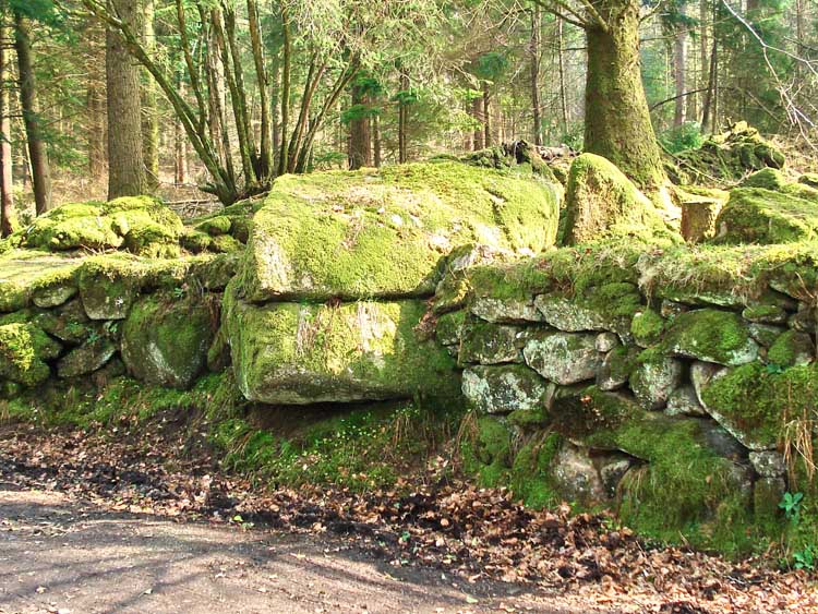
Two huge stones incorporated into the wall alongside the road.
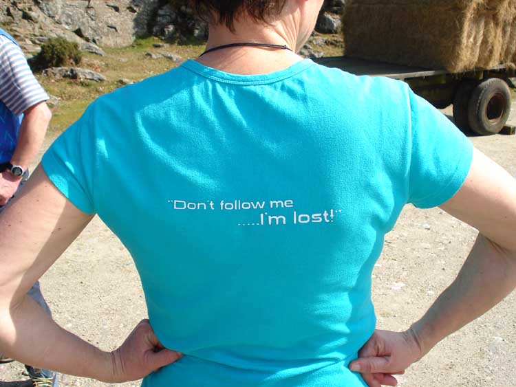
Finally, some young model in the car park ...........
MAP: Blue = planned route,
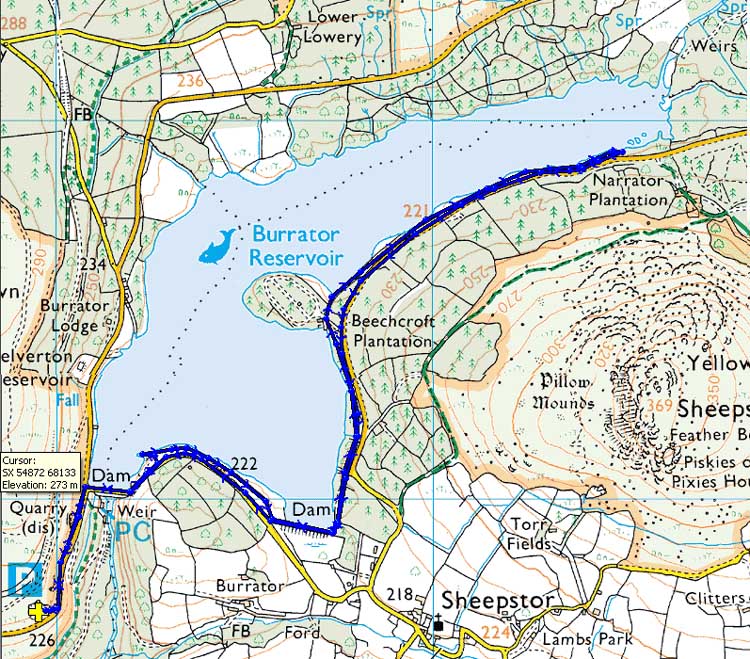
Reproduced from Dartmoor OS Explorer map 1:25 000 scale by
permission of Ordnance Survey
on behalf of The Controller of Her Majesty's
Stationery Office.
© Crown copyright. All rights reserved. Licence number 100047373.
Also, Copyright © 2005, Memory-Map Europe, with permission
The roads via Yelverton and Dousland are main roads. The road to Burrator Reservoir is followed as far as the quarry car park on the left before reaching the dam, marked by the P symbol and yellow cross on the map.
Statistics
Distance - 5.36 km / 3.3 miles.
All photographs on this web site are copyright ©2007-2016 Keith Ryan.