![]()


This walk: 2009-10-14. Burrator Reservoir PCWW 1917 catchment area boundary stone, Nun's Cross, Nun's Cross Farm, Sluices, Devonport Leat, Fox Tor Mire, Northmore's Cross, Whealham Bottom Cross, clapper bridge.
Walk details below - Information about the route etc.
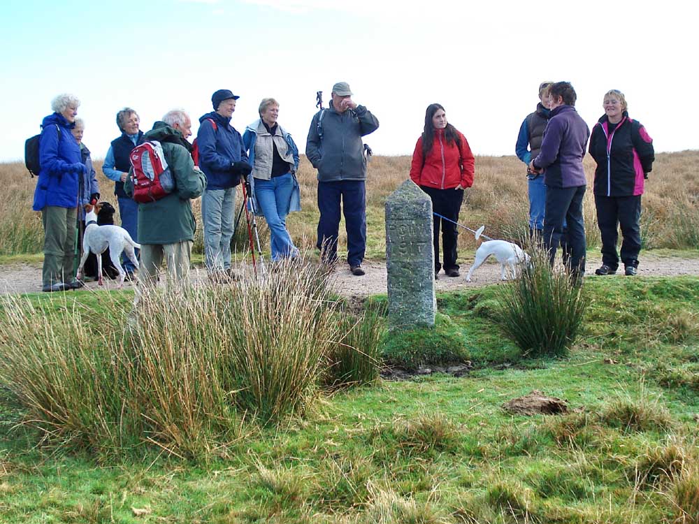
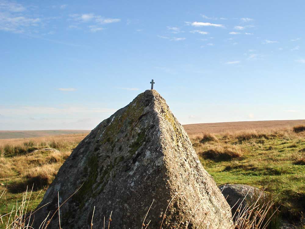
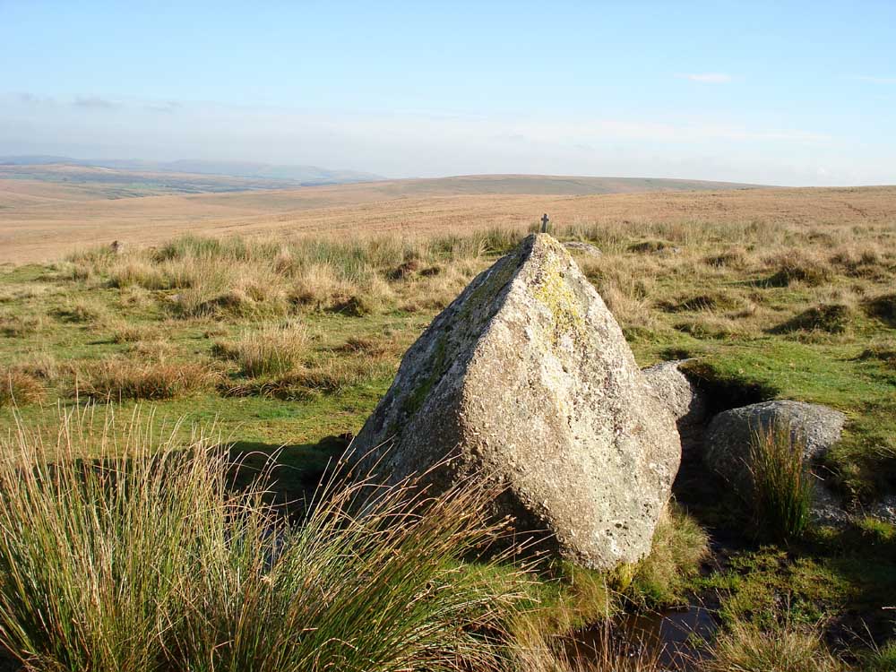
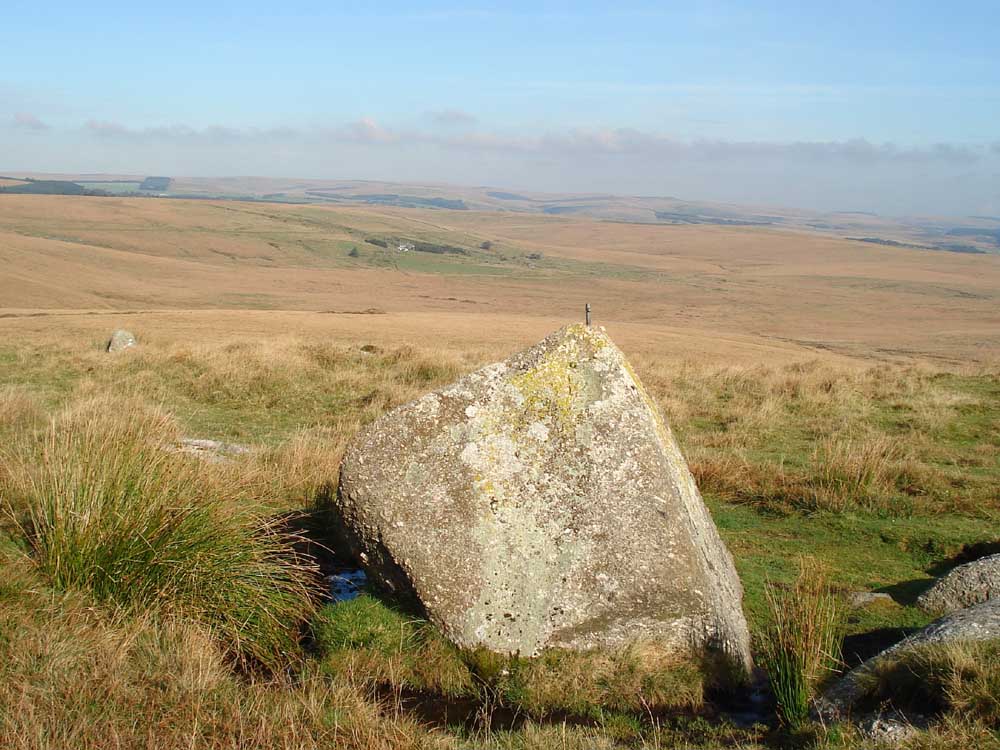
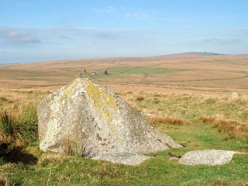
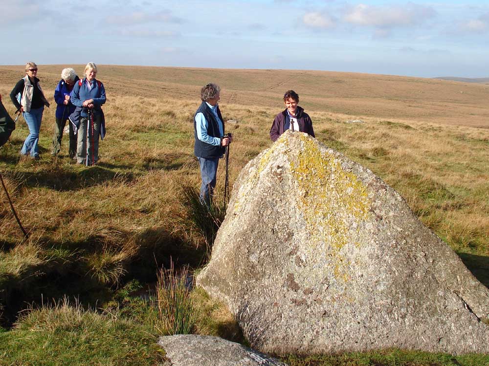
Burrator Reservoir PCWW 1917 catchment area boundary stone .....
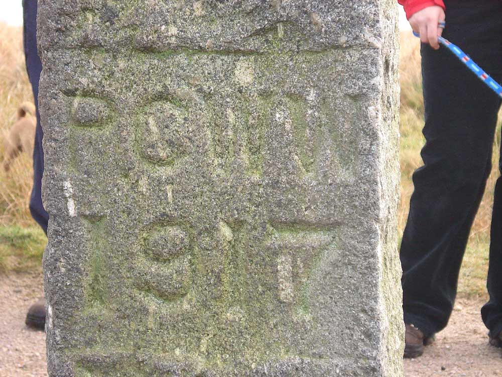
..... PCWW 1917 - Plymouth Corporation (as was) Waterworks.
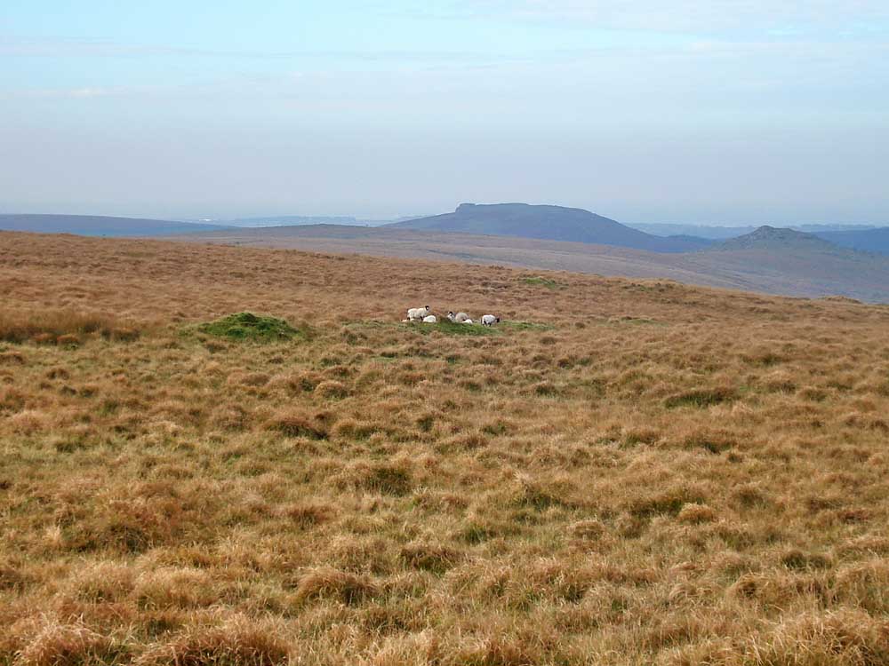
View to Plymouth with Sheep's Tor on the right.
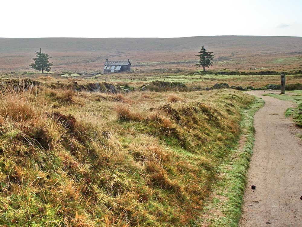
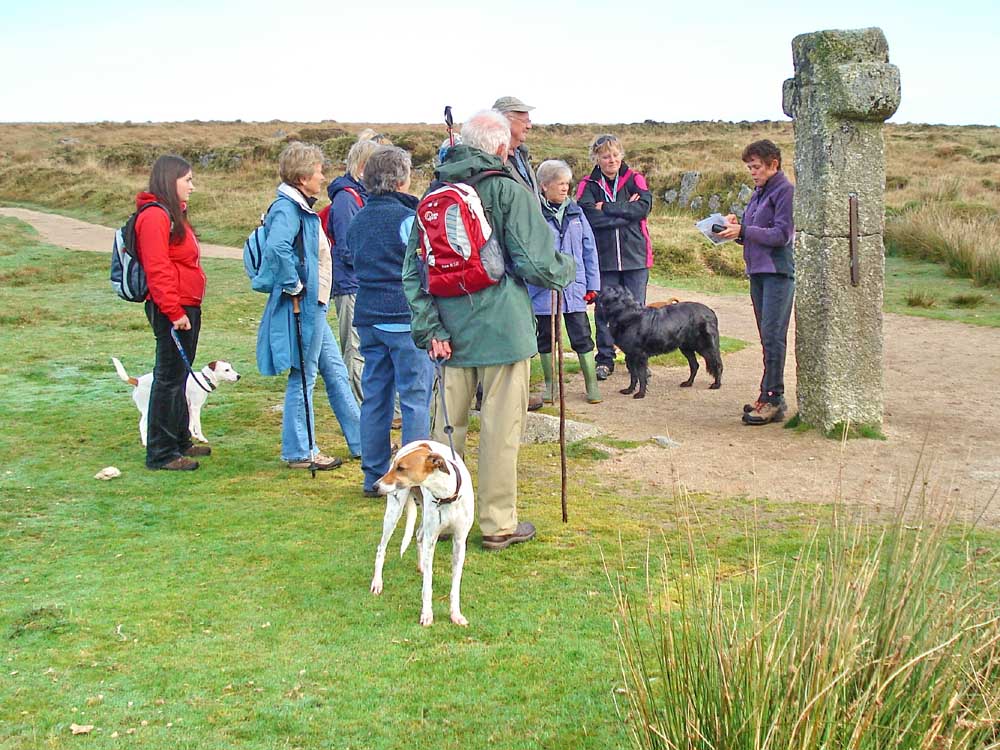
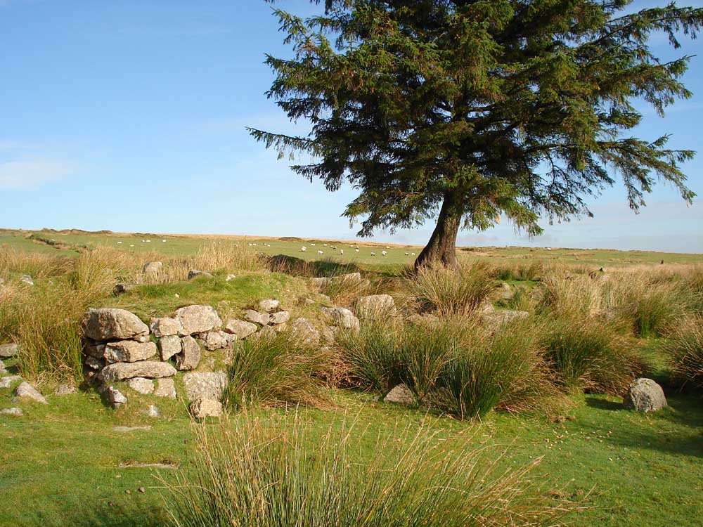
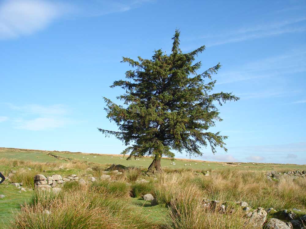
Nun's Cross Farm, with Nun's Cross on the right.
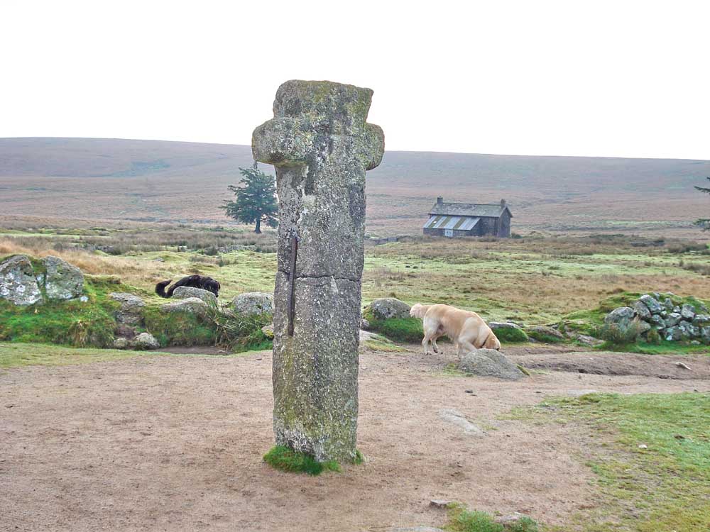
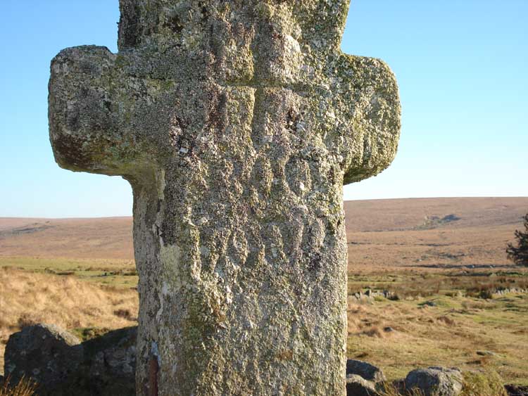
Nun's Cross (Legendary Dartmoor web site), or Siward's Cross, with Nun's Cross Farm behind - note the inscribed cross. This side bears the inscription "BOC LOND" or similar (see the link) ..... seen in better lighting conditions below from 27th Dec 2007 .....
..... what a difference the angle of the sun makes (facing west).!
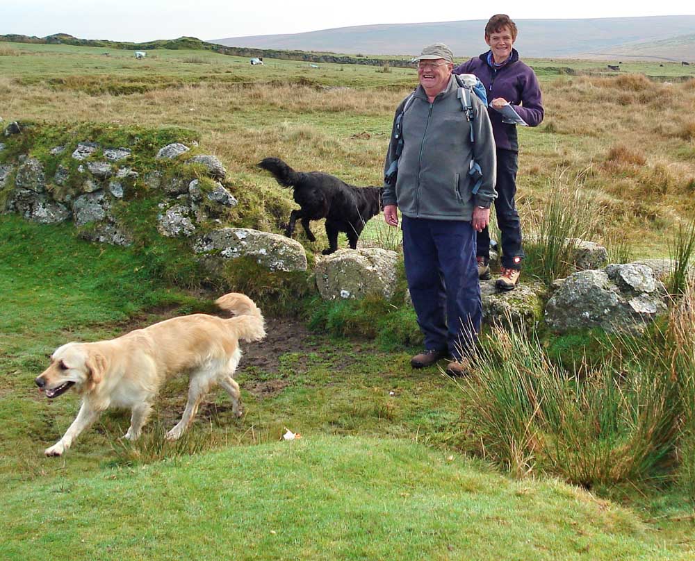
No comment, please! Or .....
Jim was oblivious to the extra brick Liz was adding to her rucksack!!
Facing east - "SIWARD" or "SIWARDI"? Must try catching this in better lighting.
History lesson.
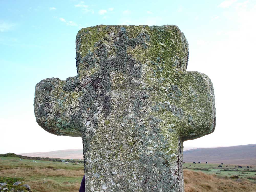
The inscribed cross and invisible BOC LOND.
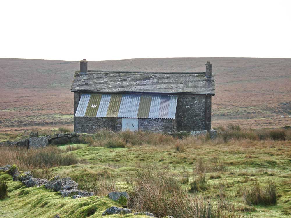
Nun's Cross Farm, from the north.
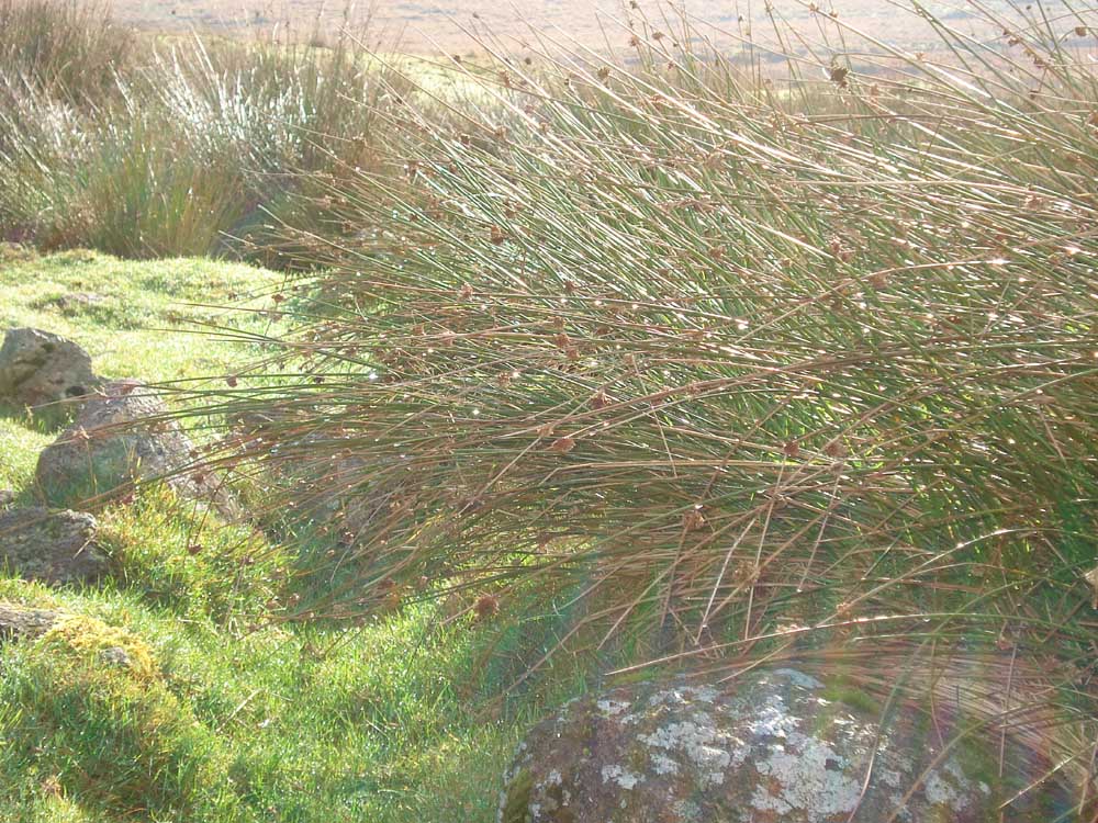
Back-lit dew on the rushes in the garden of the old farm (beyond the modern building's enclosure).
Part of the original farm building .....
..... another view.
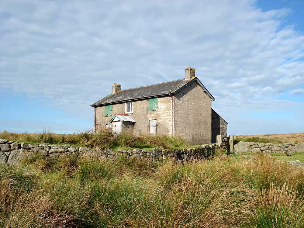
View of the southerly aspect and modern enclosing wall.
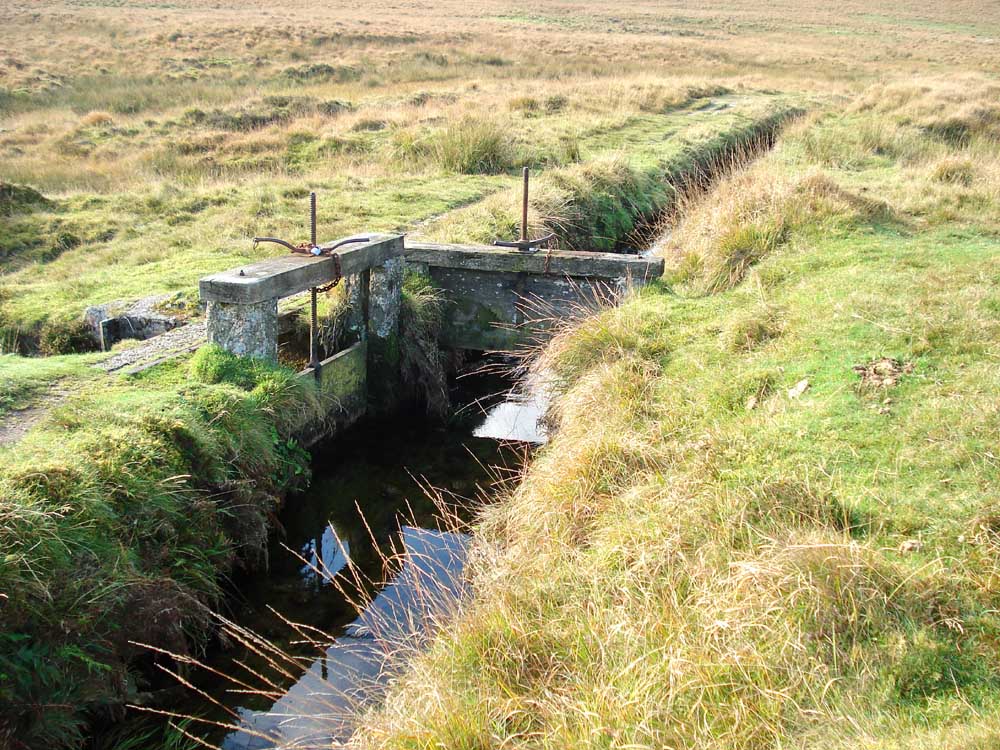
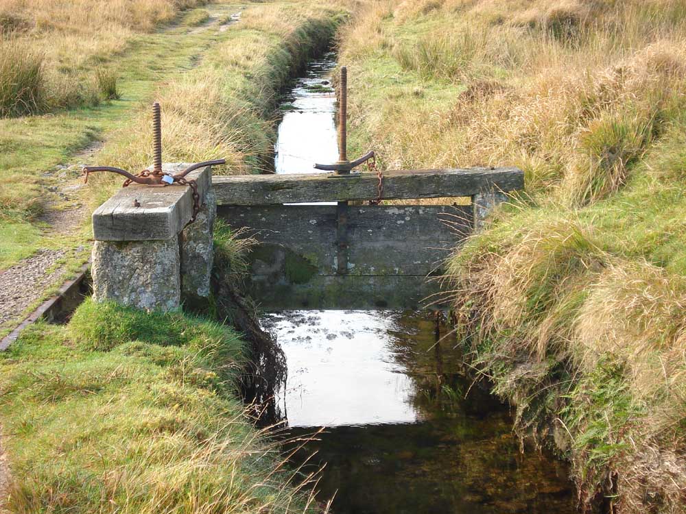
Twin sluices nearby - one blocks the Devonport Leat and one lets water out of the leat.
..... as previous photo.
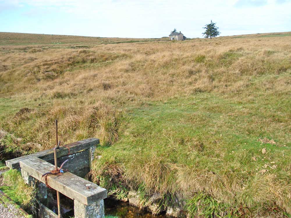
Showing the proximity of the sluices to Nun's Cross Farm.
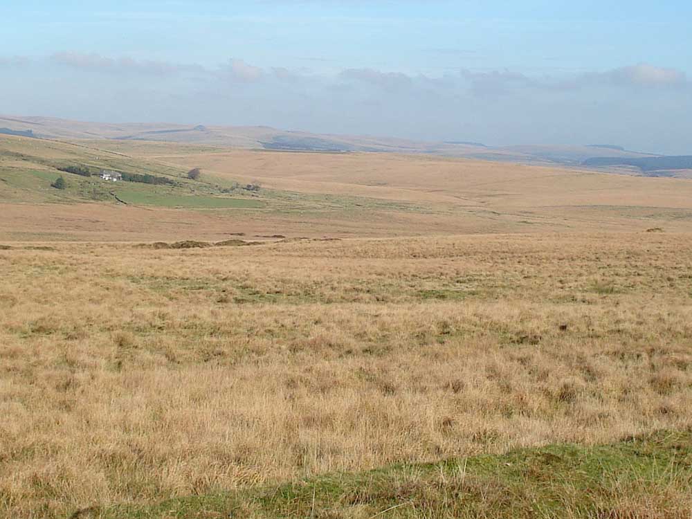
Looking across Fox Tor Mire to Whiteworks.
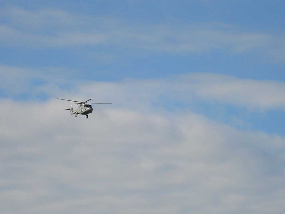
Lynx helicopter passing overhead.
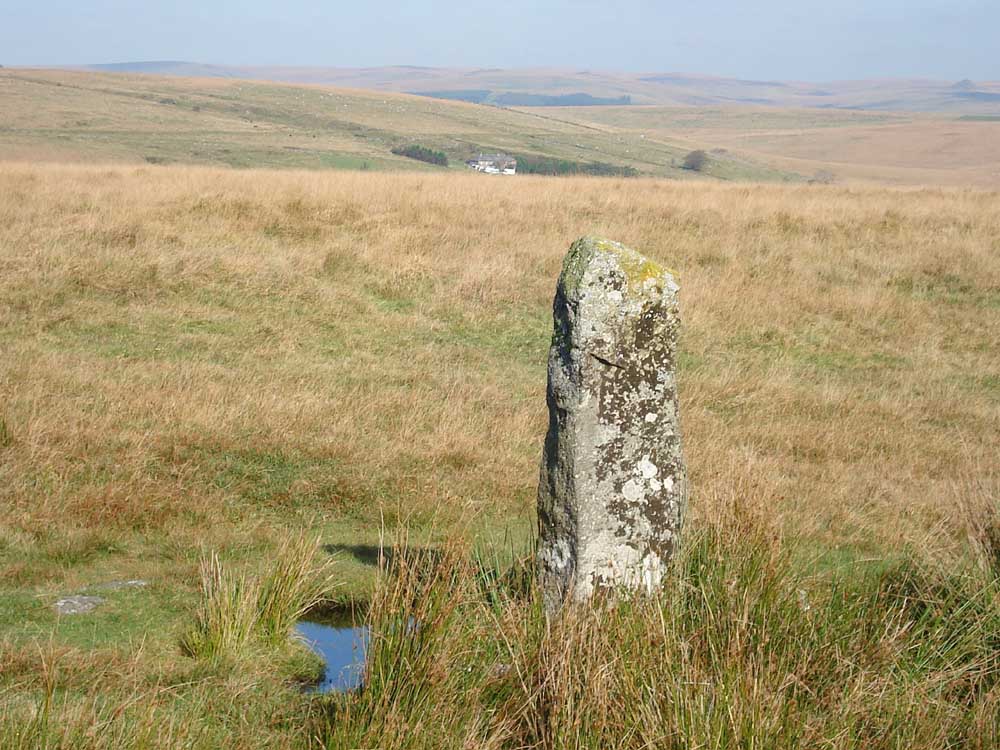
Northmore's Cross - a personal cross at SX 61351 69203 � 5 metres, made from a brass ship's propeller, check the link for more details.
A general view, looking north-east'ish.
Looking towards Whiteworks.
Nun's Cross Farm in the distance.
Moor Strollers at the cross.
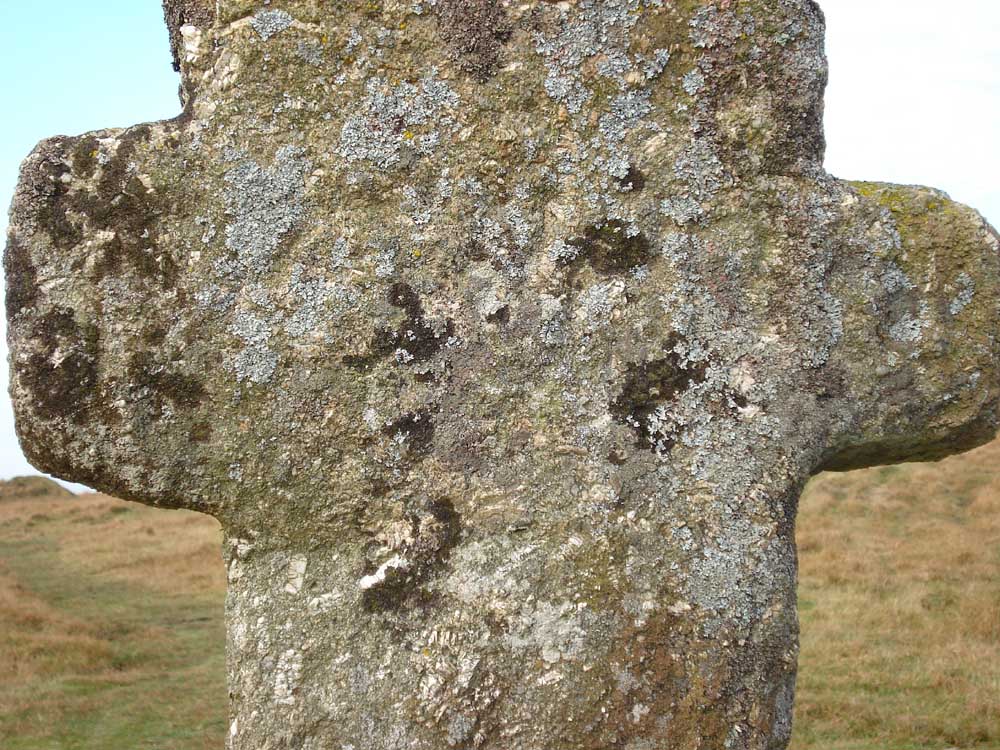
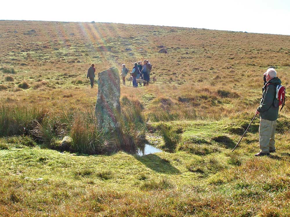
Whealham Bottom Cross, SX 61315 69490, possibly the remains of an old cross that was rescued and used as a tin mine boundary stone. It is a granite pillar with a cross inscribed in the north-facing face.
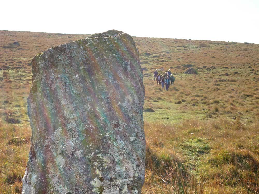
Looking back up the hill from the cross, can you see the inscribed cross? ....
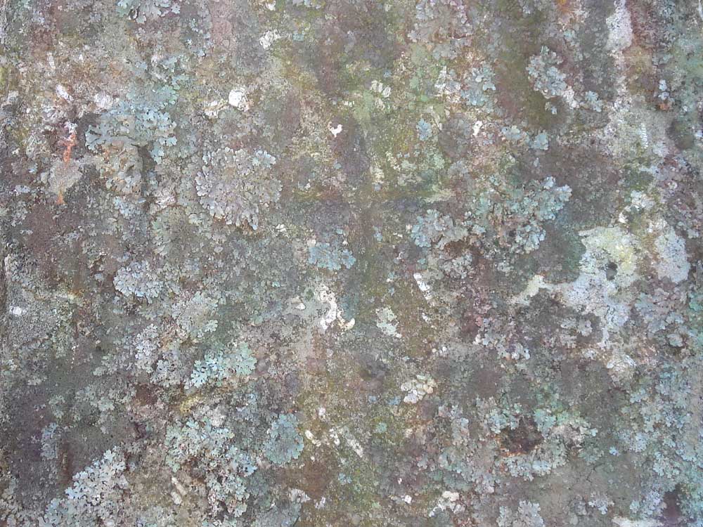
Showing the incised cross in detail .....
That is probably Northmore's Cross on the skyline ..... and where's Jess?
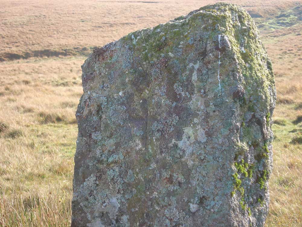
..... another view of the incised cross .....
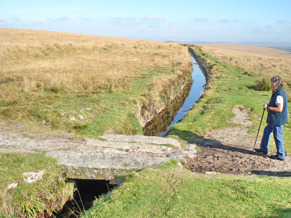
Back to the clapper bridge near the two sluices seen further up this page.
Red = GPS satellite track of the walk.
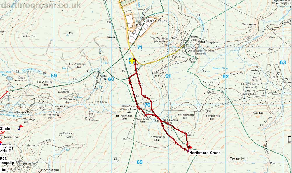
Ordnance Survey © Crown copyright 2005. All rights reserved. Licence number
100047373.
Also, Copyright © 2005, Memory-Map Europe, with permission.
This walk was approached from Princetown, via Tor Royal Lane just by the mini-roundabout, driving about 3.25 km / 2.02 miles and parking in the small quarry marked by the yellow cross and P symbol on the map.
Statistics
Distance - 4.7 km / 2.92 miles.
All photographs on this web site are copyright ©2007-2016 Keith Ryan.