![]()


This walk: 2008-11 20. A very grey day - Princetown, GWR stable, Princetown Brewery, Devils Elbow, Rifle range, hut circles, Hart Tor, lichens, fungus, red moss, South Hessary Tor.
Walk details below - Information about the route etc.
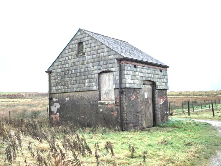
Princetown GWR stable, with a notice on the door about volunteers being needed for its renovation.
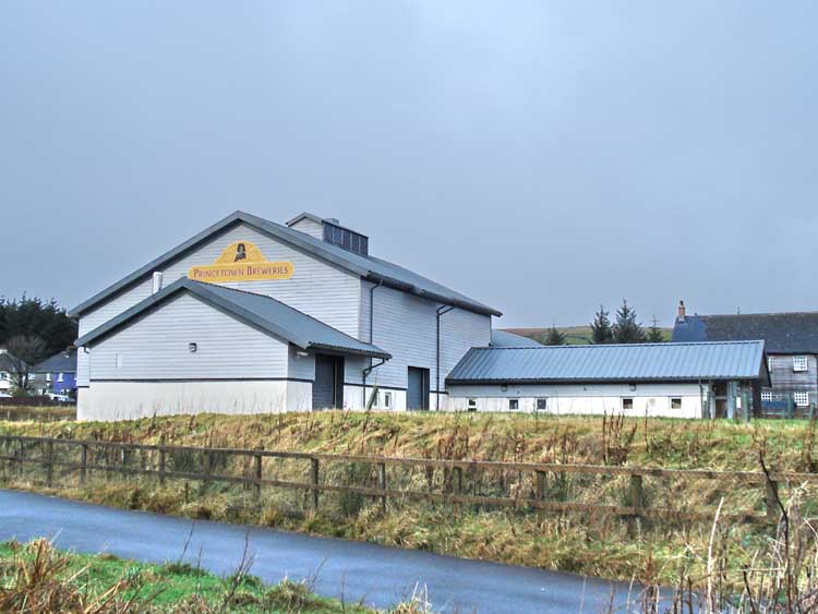
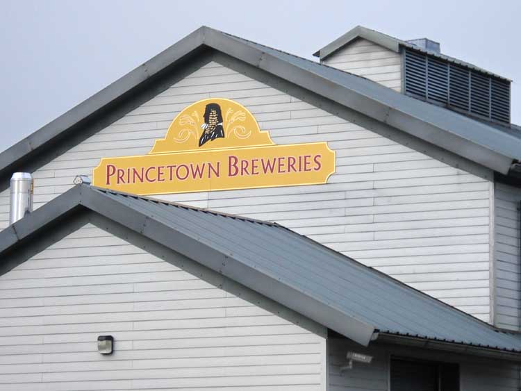
Read view of Princetown Breweries, home of Jail Ale and Dartmoor IPA and spiritual home of several of my friends!
Just to be sure .....
Looking back to the road at Devil's Elbow, after crossing.
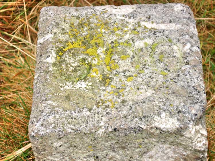
The 600 yard granite marker post at the disused Rifle Range - no yellow "Post-its" in those days!
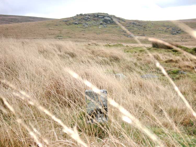
Looking from the 600 yard post towards the target post this side of and to the left of Hart Tor (closer view below).
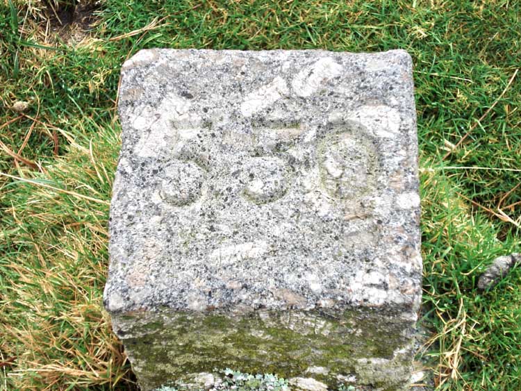
550 yards to target on the Rifle Range.
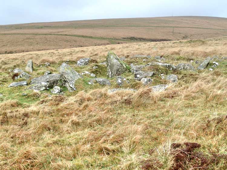
One of 45 hut circles in the area.
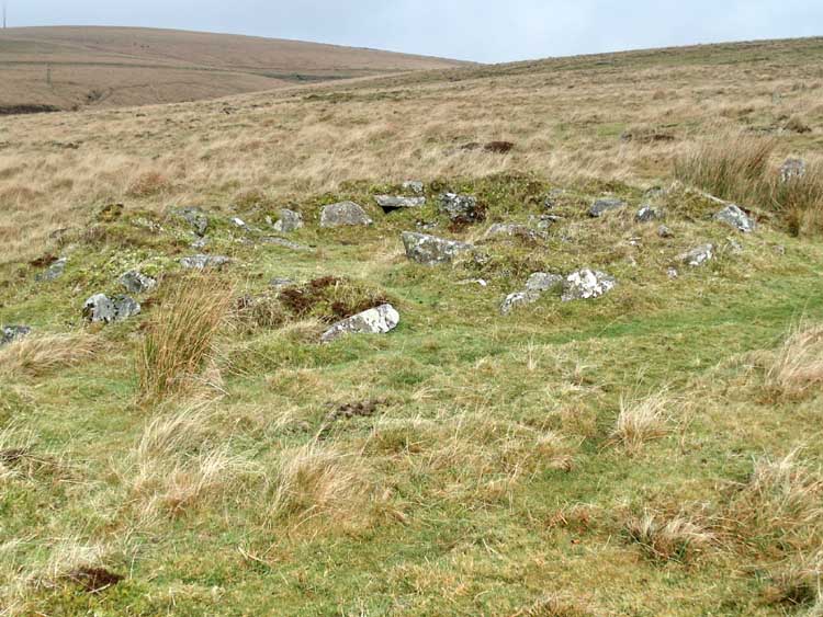
Another hut circle / round house.
The 250 yard range marker, looking towards the target post with the shelter for whoever bravely manned the target area, sheltering behind the hump to the right of the post and in line with the rock in the foreground.
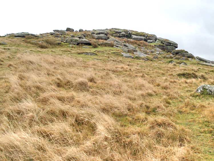
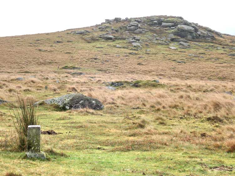
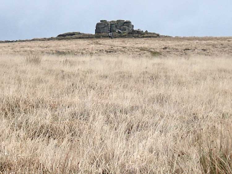
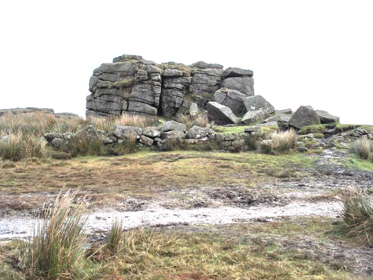
Hart Tor.
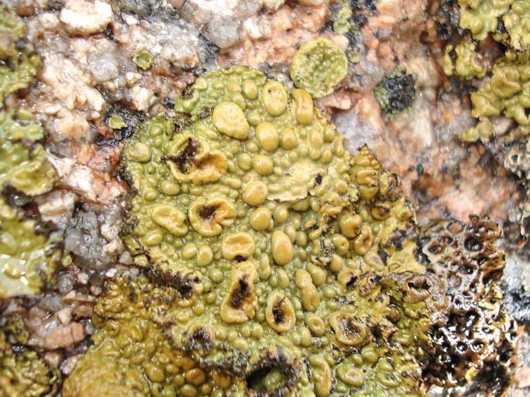
Lichen on Hart Tor, leeward side. The depressions/cups are the fruiting areas.
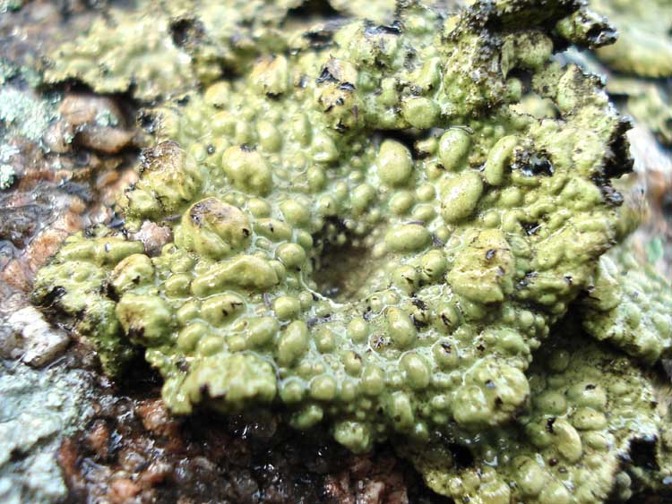
Another lichen colony.
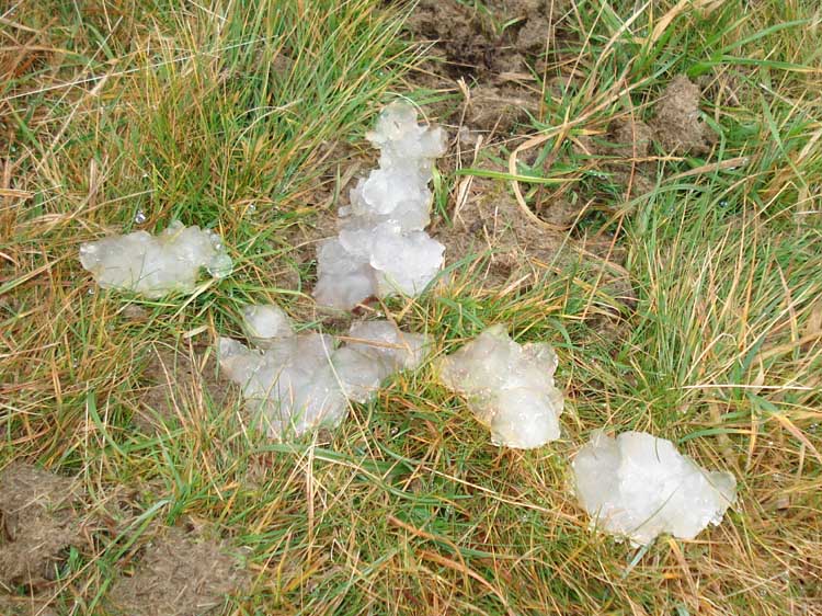
"Pixie snot", looking like hail or ice on the ground ..... actually believed to be derived from the eff-laying system of a female frog that was probably attacked .....
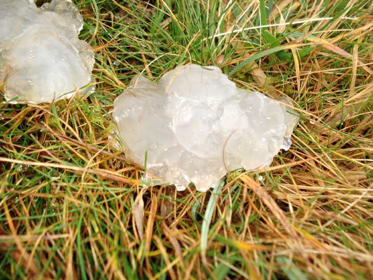
..... a closer view.
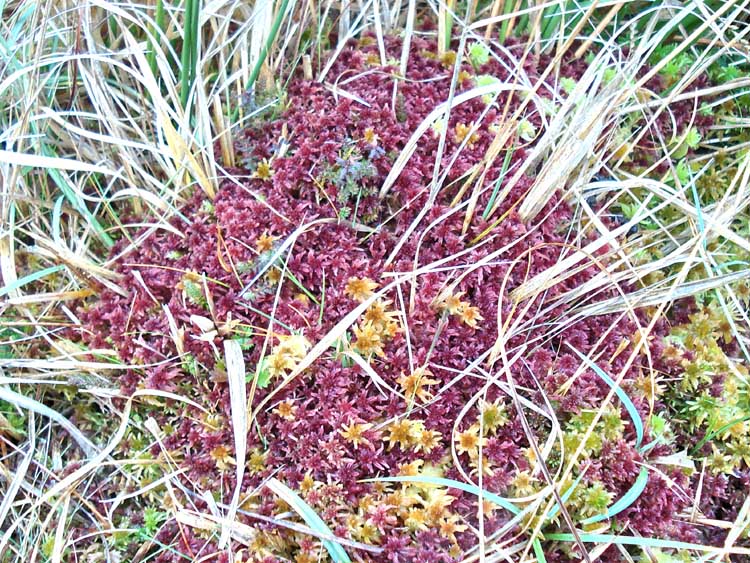
Red Sphagnum spp. ?
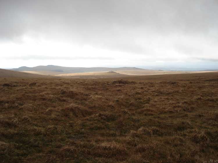
Approaching South Hessary Tor.
Closer to South Hessary Tor.
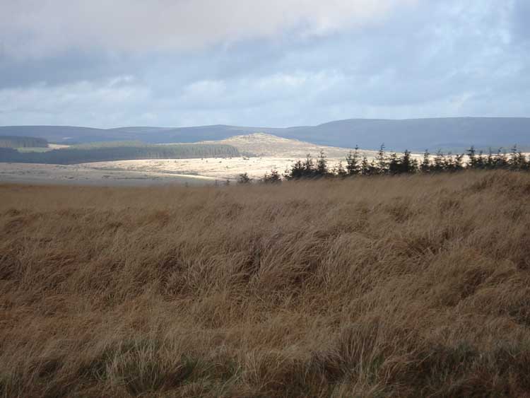
Looking back at Hart Tor (centre'ish, just bathed in rare sunlight on this day).
Zoomed view looking back at Hart Tor, just as the sunlight was passing away from the tor.
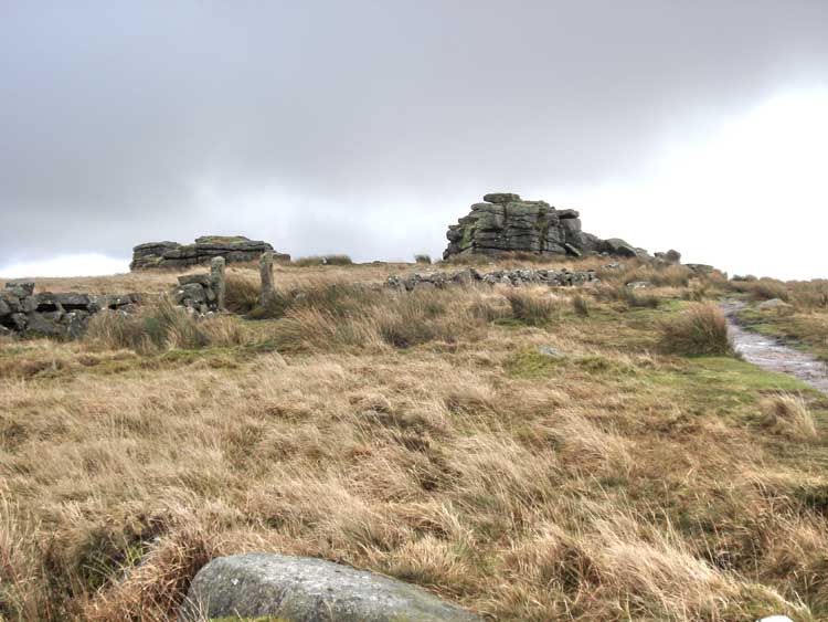
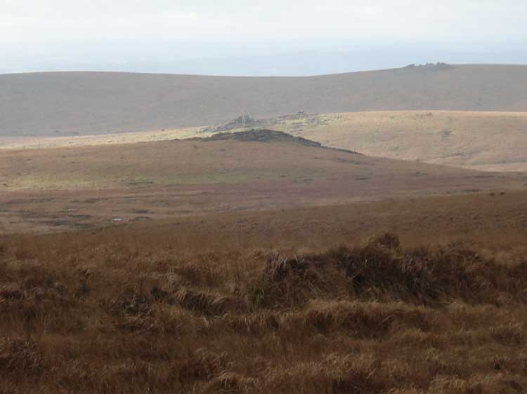
Close view of South Hessary Tor as we left it
behind, en route back to the pub Princetown.
Looking east towards Bellever Tor, in the rare sunlight on this day.
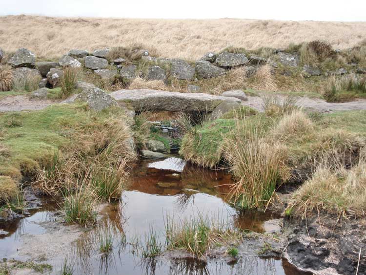
Small clapper bridge close to Princetown on the bridle path.
MAP: Blue = planned route, Red = GPS satellite track of the actual walk.
The blue lines are the compass or GPS bearings. The red line is the route actually walked: it deviates sometimes from the blue lines to avoid obstacles such as thick bracken, gorse, bogs or clitter, and often to use paths or animal tracks that are not on the map. It may also be shorter than the planned (blue) route if the walk is curtailed for some reason.
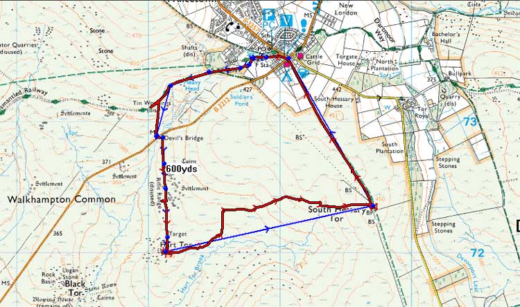
Reproduced from Dartmoor OS Explorer map 1:25 000 scale by
permission of Ordnance Survey
on behalf of The Controller of Her Majesty's
Stationery Office.
© Crown copyright. All rights reserved. Licence number 100047373.
Also, Copyright © 2005, Memory-Map Europe, with permission
Access to this walk was very simple - taking the main road to Princetown from Plymouth, the B3212 and parking at the main car park in the town.
Statistics
Distance - 5.9 km / 3.7 miles.
Start 11.20 am, Finish 1.30 pm, Duration 2 hr 10 min.
All photographs on this web site are copyright ©2007-2016 Keith Ryan.
All rights reserved - please email for permissions